Dead Man's Hill
Hill, Mountain in Yorkshire Harrogate
England
Dead Man's Hill

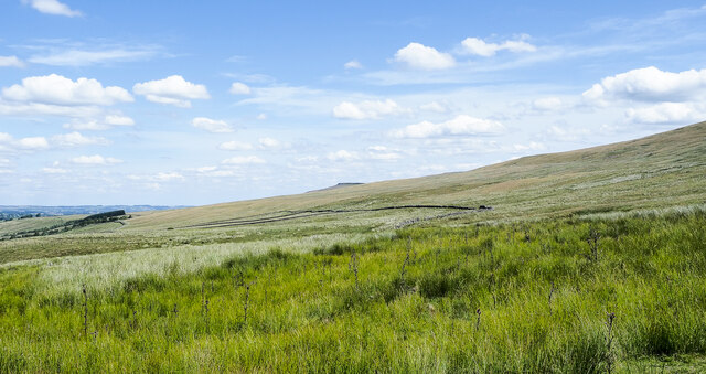
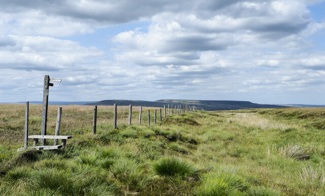
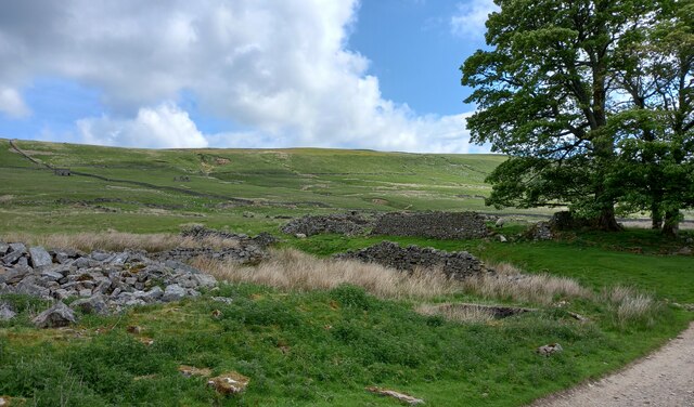
Dead Man's Hill is a prominent hill located in the picturesque region of Yorkshire, England. Situated in the heart of the Yorkshire Dales National Park, this hill stands tall and imposing, offering stunning panoramic views of the surrounding landscape.
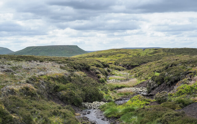
Rising to an elevation of approximately 500 meters, Dead Man's Hill is characterized by its rugged terrain and rugged beauty. Covered in a patchwork of lush greenery, the hill is home to a variety of flora and fauna, making it a popular destination for nature enthusiasts and hikers.
The hill derives its intriguing name from a local legend, which suggests that a man lost his life while attempting to climb it in the treacherous winter weather. Although the validity of this tale remains uncertain, it adds an air of mystery and intrigue to the hill's already captivating allure.
Visitors to Dead Man's Hill can embark on several trails that wind their way to the summit, providing an opportunity to witness the breathtaking vistas that stretch across the Dales. The hill's commanding position also makes it an excellent spot for paragliding and other adventurous activities.
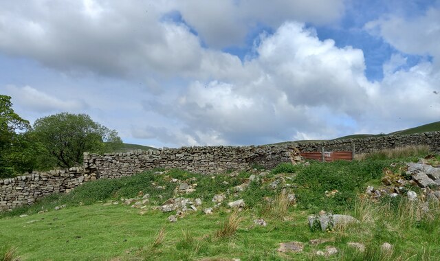
In addition to its natural beauty, Dead Man's Hill is surrounded by a rich cultural heritage. Nearby, quaint villages and historic sites offer a glimpse into Yorkshire's past, providing a perfect blend of nature and history for visitors to explore.
Overall, Dead Man's Hill is an outstanding natural landmark, captivating visitors with its scenic beauty, intriguing legend, and access to the stunning Yorkshire Dales National Park.
If you have any feedback on the listing, please let us know in the comments section below.
Dead Man's Hill Images
Images are sourced within 2km of 54.200376/-1.9122993 or Grid Reference SE0578. Thanks to Geograph Open Source API. All images are credited.


Dead Man's Hill is located at Grid Ref: SE0578 (Lat: 54.200376, Lng: -1.9122993)
Division: West Riding
Administrative County: North Yorkshire
District: Harrogate
Police Authority: North Yorkshire
What 3 Words
///syndicate.factor.nicknames. Near Leyburn, North Yorkshire
Nearby Locations
Related Wikis

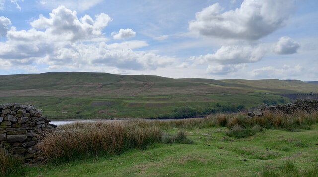
Scar House Reservoir
Scar House Reservoir is the second of the three reservoirs in Upper Nidderdale, North Yorkshire, England, the others are Angram Reservoir and Gouthwaite...

Nidd Aqueduct
The Nidd Aqueduct is an aqueduct or man-made watercourse in North Yorkshire, England. It feeds water from Angram and Scar House reservoirs in upper Nidderdale...
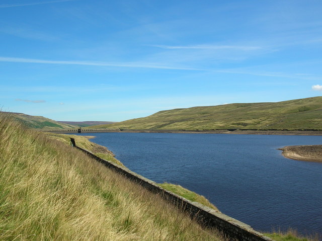
Angram Reservoir
Angram Reservoir is the first of three reservoirs on the River Nidd in Upper Nidderdale, North Yorkshire, England, the others being Scar House Reservoir...
Nidd Valley Light Railway
Nidd Valley Light Railway was a light railway in upper Nidderdale in the West Riding of Yorkshire, England. It was owned by Bradford Corporation Waterworks...
Nearby Amenities
Located within 500m of 54.200376,-1.9122993Have you been to Dead Man's Hill?
Leave your review of Dead Man's Hill below (or comments, questions and feedback).