Black Hill

Hill, Mountain in Yorkshire Richmondshire

England

Black Hill

Disused tips and shafts High Moss above Glead Gill. There is a Boundary stone named Snowdon Man. As well as being a parish boundary it forms the Southern Boundary of the Yorkshire Dales N.P.
Disused tips and shafts Credit: Colin Gregory

Black Hill is a prominent hill located in the South Pennines region of Yorkshire, England. It forms part of the Peak District National Park and is situated near the border of West Yorkshire and Greater Manchester. Standing at an elevation of 582 meters (1,909 feet), it is often referred to as a hill rather than a mountain due to its modest height.

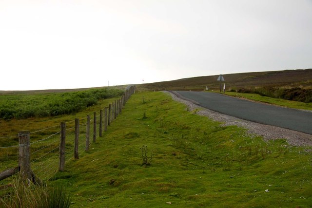
The hill is composed mainly of millstone grit, resulting in a distinctive rugged and rocky terrain. It is known for its dark-colored peat soils, which give it the name "Black Hill." The landscape is characterized by vast expanses of heather moorland, interspersed with patches of blanket bog and scattered rocky outcrops.

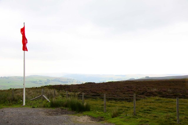
Black Hill offers stunning panoramic views of the surrounding countryside, including the nearby Holme Valley, Marsden Moor, and Saddleworth Moor. On clear days, it is possible to see as far as the cities of Manchester and Leeds.

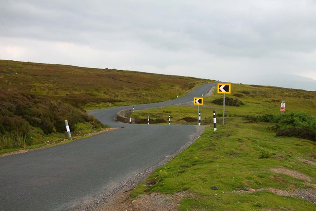
The hill is a popular destination for outdoor enthusiasts, attracting walkers, hikers, and nature lovers. Several well-marked footpaths and trails crisscross the area, providing opportunities for exploration and adventure. The Pennine Way, a long-distance footpath that spans over 400 kilometers (250 miles), passes through Black Hill, making it a significant landmark on the route.

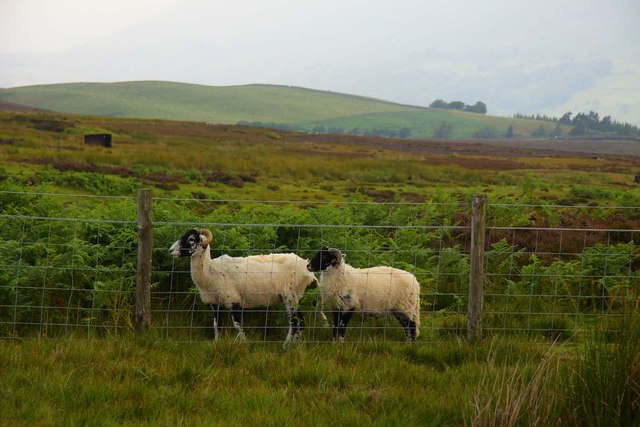
Wildlife is abundant on Black Hill, with various bird species, including grouse and peregrine falcons, making the area their home. The hill is also home to a diverse range of plant species, including heather, bilberry, and cotton grass, adding to its natural beauty.

Overall, Black Hill offers a picturesque and rugged landscape, making it a popular destination for those seeking outdoor activities and breathtaking views in the heart of Yorkshire.

If you have any feedback on the listing, please let us know in the comments section below.
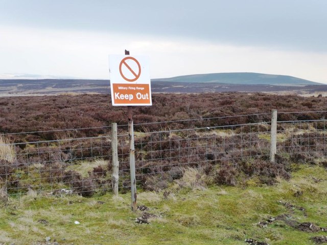
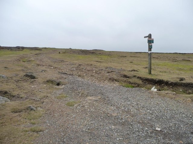
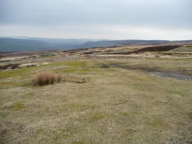
Black Hill Images

Images are sourced within 2km of 54.364132/-1.9119518 or Grid Reference SE0596. Thanks to Geograph Open Source API. All images are credited.

Disused tips and shafts High Moss above Glead Gill. There is a Boundary stone named Snowdon Man. As well as being a parish boundary it forms the Southern Boundary of the Yorkshire Dales N.P.
Disused tips and shafts
High Moss above Glead Gill. There is a Boundary stone named Snowdon Man. As well as being a parish boundary it forms the Southern Boundary of the Yorkshire Dales N.P.
Cogden Gill Cogden Gill is a tributary of the River Swale; here it's running north to join that river.
Cogden Gill
Cogden Gill is a tributary of the River Swale; here it's running north to join that river.
Fence and wall on Height of Brownseat Height of Brownseat sounds like the name of this moorland high point but is actually a named boundary stone, not seen here, it's on the other (north) side of the wall. The electric fence (solar powered), was put in place when the wall was ruinous; it has since been partly rebuilt.
Fence and wall on Height of Brownseat
Height of Brownseat sounds like the name of this moorland high point but is actually a named boundary stone, not seen here, it's on the other (north) side of the wall. The electric fence (solar powered), was put in place when the wall was ruinous; it has since been partly rebuilt.
Grinton Lodge Youth Hostel Situated South of Grinton on the road to Leyburn, this Youth Hostel has wonderful views of Swaledale. Formerly a shooting lodge, it opened as a Youth Hostel in 1949 and now has 71 beds. Its postcode is DL11 6HS.
Grinton Lodge Youth Hostel
Situated South of Grinton on the road to Leyburn, this Youth Hostel has wonderful views of Swaledale. Formerly a shooting lodge, it opened as a Youth Hostel in 1949 and now has 71 beds. Its postcode is DL11 6HS.
The road to Leyburn
The road to Leyburn
Cattle grid on Cogden Moor
Tree on Cogden Moor
Tree on Cogden Moor
Road to Reeth
Road to Reeth
Red flag on Ellerton Moor
Road to Leyburn
Road to Leyburn
Sheep on Ellerton Moor
Marrick priory. A view from the edge of steps wood.
Marrick priory.
A view from the edge of steps wood.
Marrick  Priory  in  a  Farm  Setting Not only a farm it is also an outdoor activity centre
Marrick Priory in a Farm Setting
Not only a farm it is also an outdoor activity centre
The army's flag is deepest red Warning of an active army training area on Ellerton Moor.
The army's flag is deepest red
Warning of an active army training area on Ellerton Moor.
From one flag to another The western boundary of the army training area, alongside the Leyburn - Grinton road.
From one flag to another
The western boundary of the army training area, alongside the Leyburn - Grinton road.
Ellerton Moor - Keep Out Warning sign on the western edge of the army training area.
Ellerton Moor - Keep Out
Warning sign on the western edge of the army training area.
Once an industrial route, now a leisure path Footpath through disused lead workings, leading to High Moss.
Once an industrial route, now a leisure path
Footpath through disused lead workings, leading to High Moss.
Old Stork Lead Vein Former lead mining area on Ellerton Moor above Swaledale.
Old Stork Lead Vein
Former lead mining area on Ellerton Moor above Swaledale.
Show me another place!

Black Hill is located at Grid Ref: SE0596 (Lat: 54.364132, Lng: -1.9119518)

Division: North Riding

Administrative County: North Yorkshire

District: Richmondshire

Police Authority: North Yorkshire

What 3 Words

///eyelash.tomato.cowboys. Near Leyburn, North Yorkshire

Related Wikis

Grinton Smelt Mill

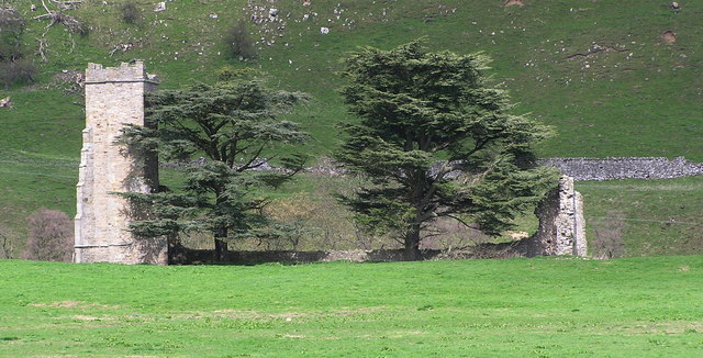
Grinton Smelt Mill (also known as How Mill) is a ruined lead mining and processing site on Cogden Moor, south of Grinton in Swaledale, North Yorkshire...
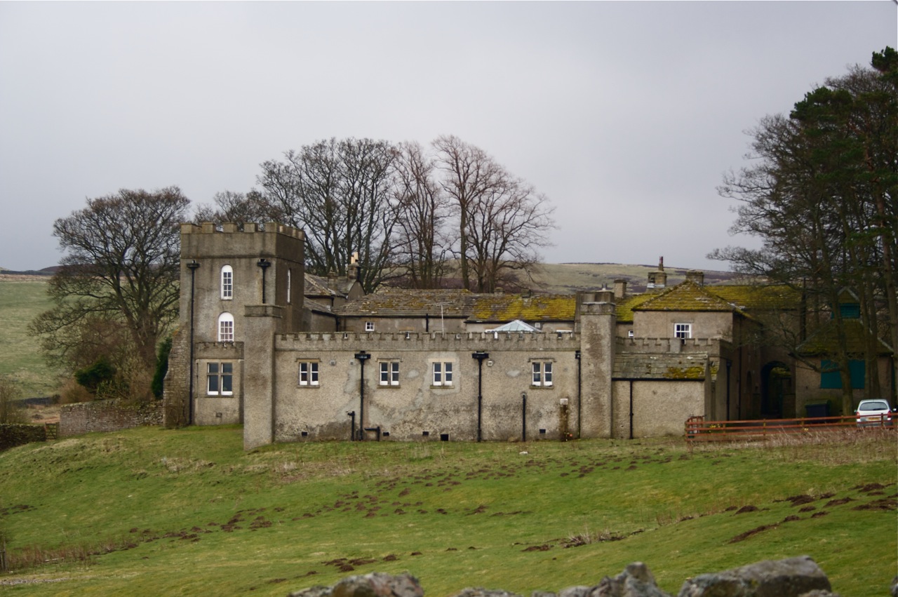
Grinton Lodge

Grinton Lodge is a 19th-century former shooting lodge that has been a youth hostel since 1948. A Grade II listed building, it is situated above the village...

Ellerton Abbey

Ellerton Abbey is a civil parish in the Richmondshire district of North Yorkshire, England. It is located on the River Swale in lower Swaledale, 6 miles...

Marrick Priory

Marrick Priory was a Benedictine nunnery in Richmondshire, North Yorkshire, England, established between 1140 and 1160 by Roger de Aske. The parish Church...

Ellerton Abbey House

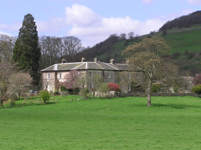
Ellerton Abbey House is an historic building and estate in Ellerton Abbey, North Yorkshire, England. It was built around 1830 for the Fore Erle-Drax family...

Grinton

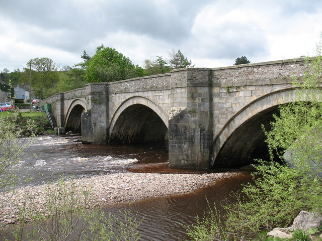
Grinton is a small village and civil parish in the Yorkshire Dales, North Yorkshire, England. Close to Reeth and Fremington, it lies 9 miles (15 km) west...

Swaledale Festival

The Swaledale Festival takes place over two weeks in May and June each year, in churches, chapels, castles, ‘Literary Institutes’, pubs, fields and village...

Ellerton Priory (Swaledale)

Ellerton Priory was a priory of Cistercian nuns in Swaledale in North Yorkshire, England. Its ruins lie in the civil parish of Ellerton Abbey. == History... ==

Nearby Amenities

Located within 500m of 54.364132,-1.9119518
Access: yes
Barrier: cattle_grid
Lat/Long: 54.3654793/-1.9163996
Historic: boundary_stone
Source: gps survey
Lat/Long: 54.3656011/-1.9165193
Historic: boundary_stone
Source: gps survey
Lat/Long: 54.3643188/-1.9179715
'R' Stone
Historic: boundary_stone
Source: gps survey
Lat/Long: 54.3620798/-1.9163083
Barrier: stile
Foot: designated
Source: gps survey
Lat/Long: 54.3615651/-1.9160268
Barrier: stile
Foot: designated
Lat/Long: 54.366079/-1.9177181
Cogden Heugh
Place: locality
Lat/Long: 54.3679435/-1.9119287
The data included in this document is from www.openstreetmap.org. The data is made available under ODbL.

Have you been to Black Hill?

Leave your review of Black Hill below (or comments, questions and feedback).