Cogden Moor
Downs, Moorland in Yorkshire Richmondshire
England
Cogden Moor

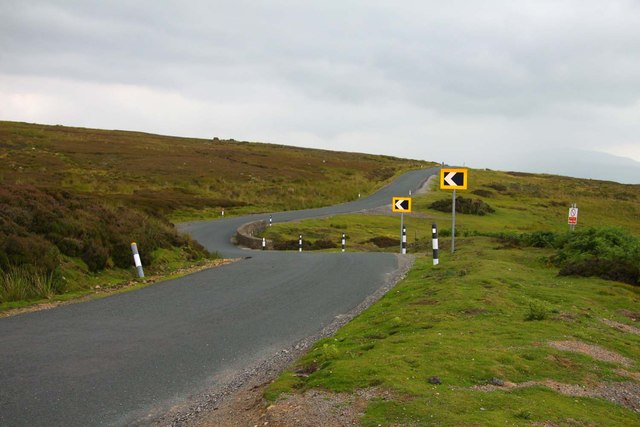
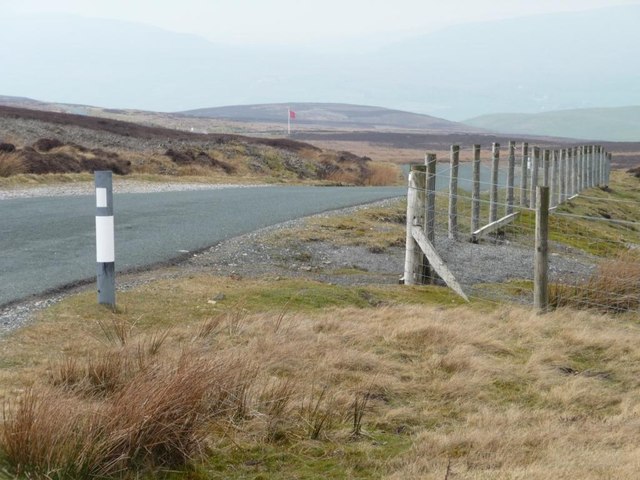
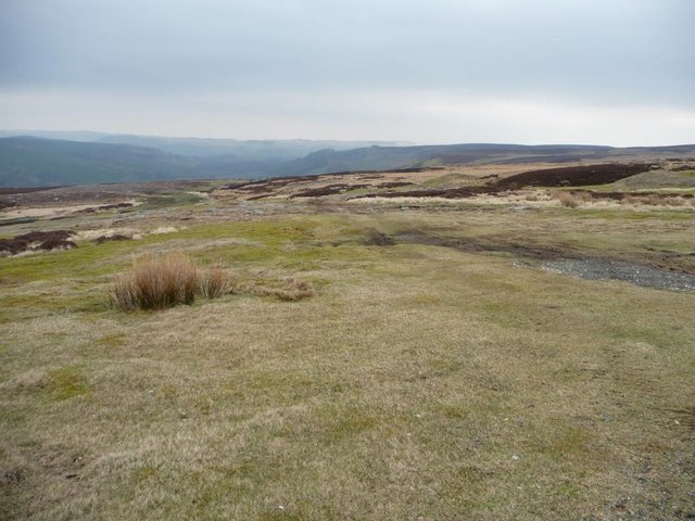
Cogden Moor is a picturesque area located in the county of Yorkshire, England. Situated on the eastern edge of the Yorkshire Dales National Park, it spans over 3,000 acres of rolling hills, moorland, and downs. The moor is characterized by its vast stretches of heather-covered landscapes, offering stunning views of the surrounding countryside.
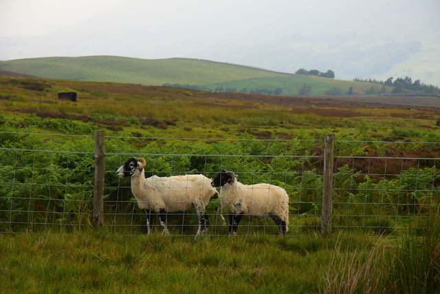
The area is renowned for its rich biodiversity, with a wide variety of plant and animal species calling Cogden Moor their home. The heather moorland provides a vital habitat for several bird species, including the iconic red grouse, curlew, and golden plover. In addition, visitors may catch a glimpse of other rare wildlife such as mountain hares and adders.
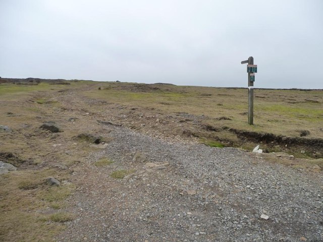
Cogden Moor is a popular destination for outdoor enthusiasts, attracting walkers, hikers, and nature lovers alike. The network of footpaths and trails allows visitors to explore the area at their leisure, taking in the breathtaking scenery and enjoying the tranquility of the moorland. The moor also offers opportunities for birdwatching, with designated viewing points providing ideal vantage points for observing the local avian residents.
For those seeking a more active experience, Cogden Moor offers excellent opportunities for cycling and horse riding. There are designated routes and bridleways that cater to both novices and experienced riders, allowing them to explore the moor and its surroundings from a different perspective.
Overall, Cogden Moor in Yorkshire is a haven for nature enthusiasts, offering a diverse and captivating landscape that showcases the beauty of the Yorkshire countryside.
If you have any feedback on the listing, please let us know in the comments section below.
Cogden Moor Images
Images are sourced within 2km of 54.365351/-1.9206447 or Grid Reference SE0596. Thanks to Geograph Open Source API. All images are credited.


Cogden Moor is located at Grid Ref: SE0596 (Lat: 54.365351, Lng: -1.9206447)
Division: North Riding
Administrative County: North Yorkshire
District: Richmondshire
Police Authority: North Yorkshire
What 3 Words
///immediate.flashback.cabbages. Near Leyburn, North Yorkshire
Nearby Locations
Related Wikis

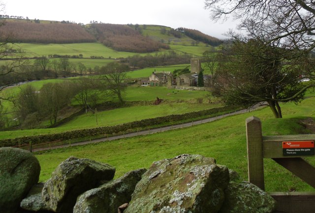
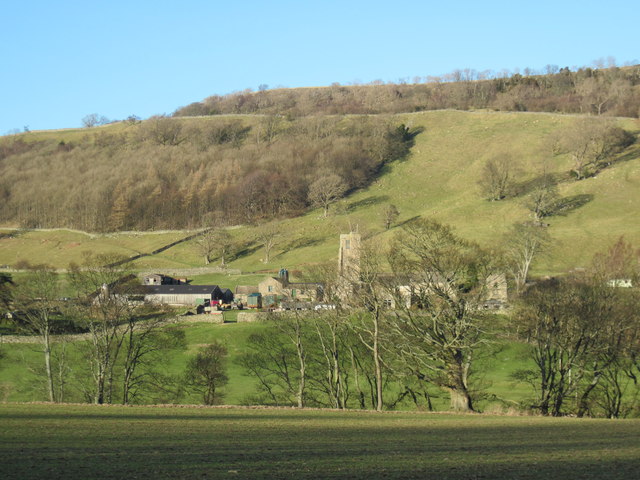
Grinton Smelt Mill
Grinton Smelt Mill (also known as How Mill) is a ruined lead mining and processing site on Cogden Moor, south of Grinton in Swaledale, North Yorkshire...
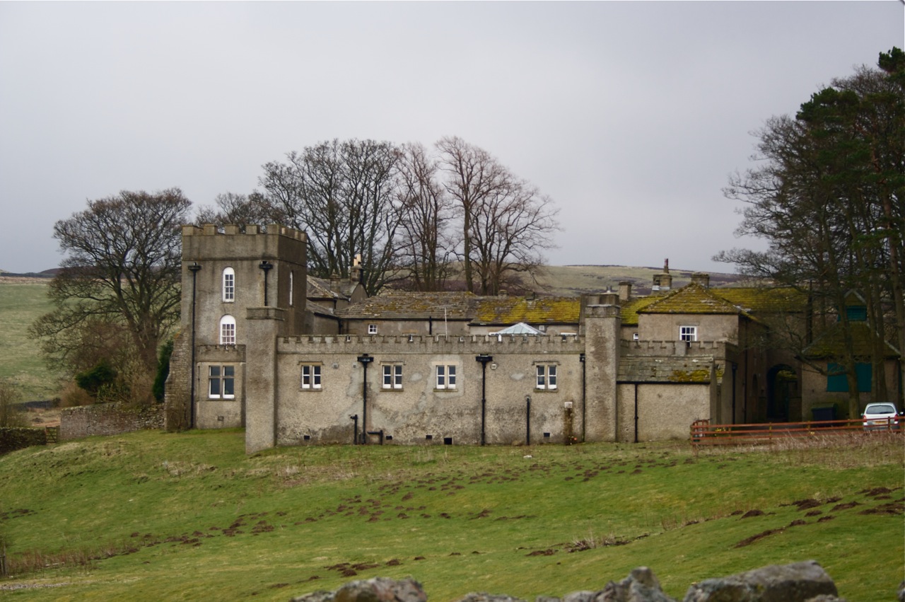
Grinton Lodge
Grinton Lodge is a 19th-century former shooting lodge that has been a youth hostel since 1948. A Grade II listed building, it is situated above the village...

Marrick Priory
Marrick Priory was a Benedictine nunnery in Richmondshire, North Yorkshire, England, established between 1140 and 1160 by Roger de Aske. The parish Church...
Grinton
Grinton is a small village and civil parish in the Yorkshire Dales, North Yorkshire, England. Close to Reeth and Fremington, it lies 9 miles (15 km) west...
Nearby Amenities
Located within 500m of 54.365351,-1.9206447Have you been to Cogden Moor?
Leave your review of Cogden Moor below (or comments, questions and feedback).