Delf Hill
Hill, Mountain in Yorkshire
England
Delf Hill

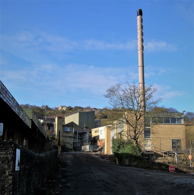
Delf Hill is a prominent landmark located in the county of Yorkshire, England. Situated in the picturesque countryside, this hill stands tall at an elevation of approximately 343 meters (1,125 feet) above sea level. It is part of the wider Pennines mountain range, which stretches across Northern England.
The hill is characterized by its gently sloping terrain, covered in lush green vegetation and scattered with rocky outcrops. Delf Hill offers breathtaking panoramic views of the surrounding countryside, including the sprawling valleys, idyllic farmlands, and nearby towns.
A notable feature of Delf Hill is the presence of several old quarry workings. These remnants from the past serve as a reminder of the region's industrial heritage and add a unique charm to the landscape. The hill offers opportunities for leisurely walks and hikes, attracting both locals and tourists alike who enjoy exploring the natural beauty of the area.
Nature enthusiasts visiting Delf Hill may encounter a variety of wildlife, including birds, rabbits, and other small mammals that call this area their home. The hill provides a tranquil retreat away from the hustle and bustle of urban life, making it a popular destination for those seeking solace in nature.
Access to Delf Hill is relatively easy, with several footpaths and trails leading up to its summit. Visitors can enjoy a leisurely stroll or a more challenging hike, depending on their preference and fitness level. The hill is also a favored spot for paragliders and hang gliders, who take advantage of the hill's favorable wind conditions.
Overall, Delf Hill in Yorkshire offers a captivating blend of natural beauty, historical significance, and recreational opportunities, making it a must-visit destination for anyone exploring the region.
If you have any feedback on the listing, please let us know in the comments section below.
Delf Hill Images
Images are sourced within 2km of 53.744763/-1.9130356 or Grid Reference SE0527. Thanks to Geograph Open Source API. All images are credited.


Delf Hill is located at Grid Ref: SE0527 (Lat: 53.744763, Lng: -1.9130356)
Division: West Riding
Unitary Authority: Calderdale
Police Authority: West Yorkshire
What 3 Words
///trails.deaf.happen. Near Queensbury, West Yorkshire
Nearby Locations
Related Wikis
Mount Tabor, West Yorkshire
Mount Tabor is a hamlet in Calderdale, West Yorkshire, England, named after the biblical Battle of Mount Tabor mentioned in the Book of Judges. It is situated...
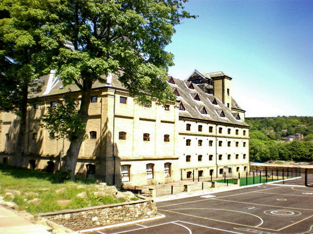
The Maltings College
The Maltings College is a free school sixth form in Fountainhead, near Halifax, West Yorkshire, England.Established in 2013, The Maltings College is located...

Fountainhead Village
Fountainhead is a hamlet in Calderdale, West Yorkshire, England, built on the old site of the Webster's Brewery at the turn of the 21st century. It is...
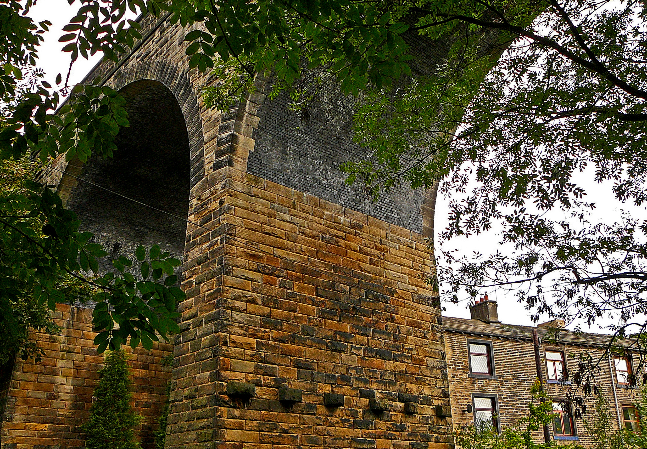
Wheatley Viaduct
Wheatley Viaduct is a former railway bridge straddling the Hebble Brook on the northern side of Halifax, in West Yorkshire, England. The ten-arch viaduct...
Nearby Amenities
Located within 500m of 53.744763,-1.9130356Have you been to Delf Hill?
Leave your review of Delf Hill below (or comments, questions and feedback).