Toot Hill
Hill, Mountain in Staffordshire East Staffordshire
England
Toot Hill
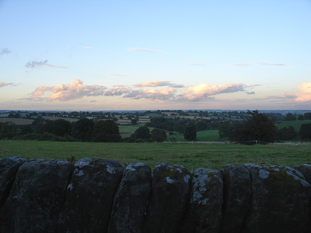
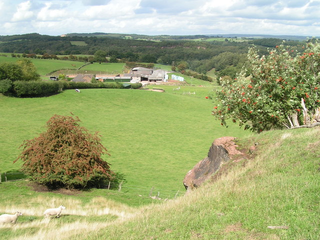
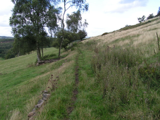
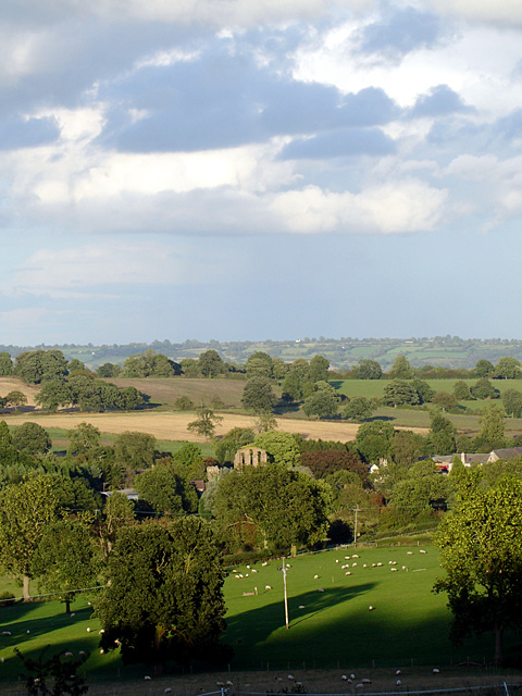
Toot Hill is a prominent landmark situated in Staffordshire, England. It is a stunning hill that stands at an elevation of approximately 217 meters (712 feet) above sea level, making it one of the highest points in Staffordshire. Located near the village of Draycott in the Moors, Toot Hill is a popular spot for both locals and tourists to enjoy panoramic views of the surrounding countryside.
The hill itself is formed by geological processes, primarily composed of sedimentary rocks such as sandstone and limestone. Its distinctive shape and steep slopes offer a challenging climb for outdoor enthusiasts and hikers. At the summit, there is a trig point, which serves as a marker for surveying purposes.
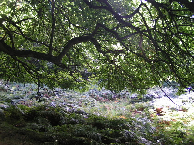
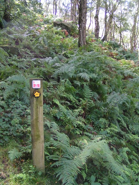
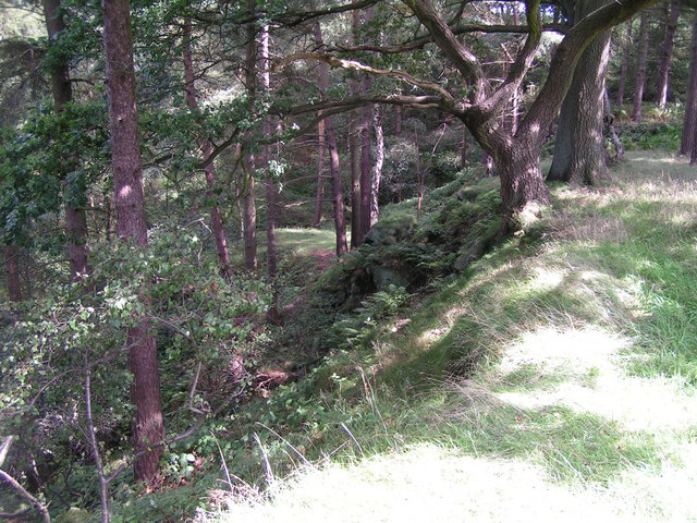
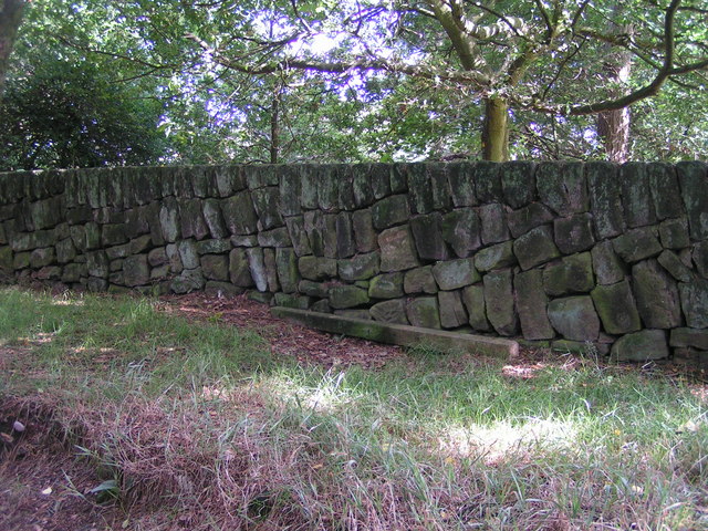
Toot Hill is surrounded by picturesque landscapes, including rolling hills, lush green fields, and dense woodland. The area is also home to a diverse range of flora and fauna, with various species of birds, butterflies, and wildflowers being spotted throughout the year.
Aside from its natural beauty, Toot Hill holds historical significance. It is believed to have been a site of human activity since ancient times, with archaeological evidence suggesting the presence of settlements dating back to the Iron Age. Additionally, there are remnants of medieval ridge and furrow cultivation visible on the slopes of the hill, showcasing its agricultural importance in the past.
Overall, Toot Hill in Staffordshire is a captivating destination, offering visitors a chance to immerse themselves in nature, explore historical remnants, and revel in breathtaking views of the surrounding countryside.
If you have any feedback on the listing, please let us know in the comments section below.
Toot Hill Images
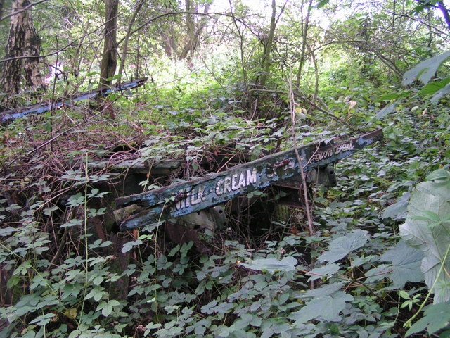
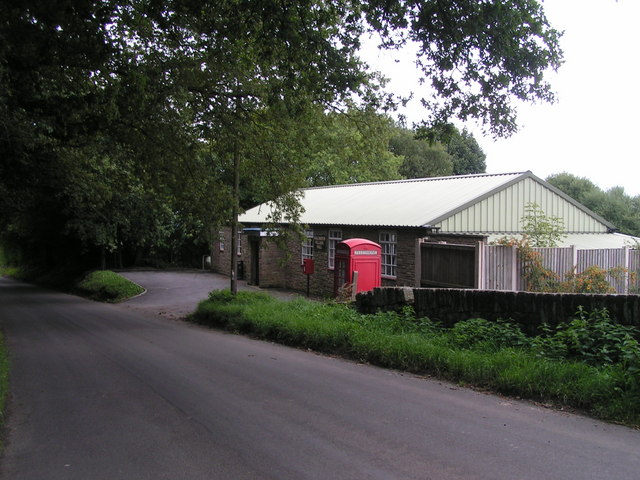
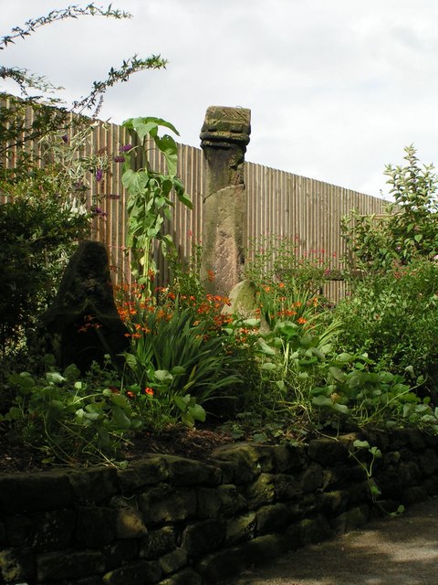
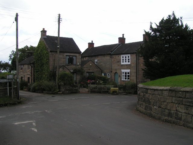
Images are sourced within 2km of 52.940002/-1.9152183 or Grid Reference SK0538. Thanks to Geograph Open Source API. All images are credited.

Toot Hill is located at Grid Ref: SK0538 (Lat: 52.940002, Lng: -1.9152183)
Administrative County: Staffordshire
District: East Staffordshire
Police Authority: Staffordshire
What 3 Words
///curable.constrain.chefs. Near Uttoxeter, Staffordshire
Nearby Locations
Related Wikis

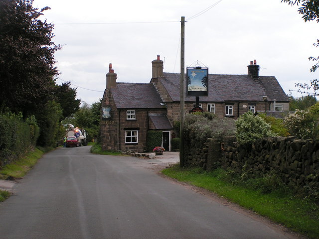
Hollington, Staffordshire
Hollington is a village in the Staffordshire Moorlands in English county of Staffordshire. There are several villages of this same name, and there is a...
Croxden
Croxden is a village in the county of Staffordshire, England, south of Alton and north of Uttoxeter. The population of the civil parish as taken at the...

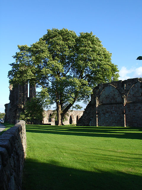
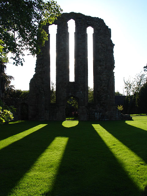
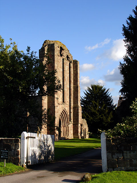
Croxden Abbey
Croxden Abbey, also known as "Abbey of the Vale of St. Mary at Croxden", was a Cistercian abbey at Croxden, Staffordshire, United Kingdom. A daughter house...

Beamhurst
Beamhurst is a village in Staffordshire, England. For population details taken at the 2011 census see Croxden. == References ==
Beamhurst Lane
Beamhurst Lane is a hamlet in Uttoxeter Rural, Staffordshire, England.

Checkley
Checkley is a village and civil parish in the district of Staffordshire Moorlands in the English county of Staffordshire. == Location == The village is...

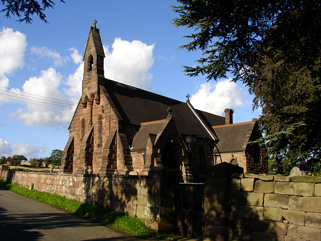
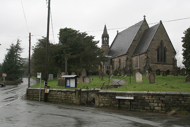
St Mary's and All Saints' Church, Checkley
St Mary's and All Saints' Church is an Anglican church in the village of Checkley, Staffordshire, England. It is a Grade I listed building. The oldest...
Stramshall
Stramshall is a village within the civil parish of Uttoxeter Rural in the county of Staffordshire, England. The village is 2.1 miles north of the town...
Related Videos

Quarry Walk Park
Amazing property to relax in the lush woodland with all the luxuries.
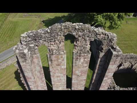
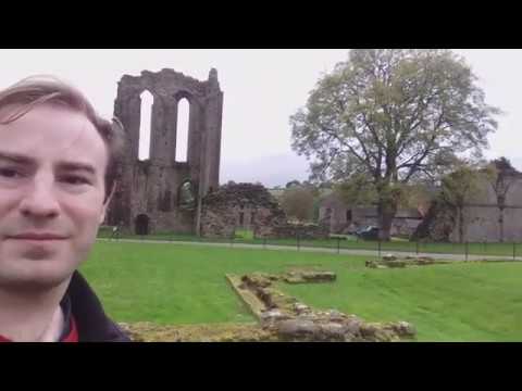
A visit to Croxden Abbey
A visit to Croxden Abbey. We're out for a drive in my Lada Riva 1.5 E Estate when we come across the ruins of Croxden Abbey in ...

Have you been to Toot Hill?
Leave your review of Toot Hill below (or comments, questions and feedback).