Cogden Heugh
Hill, Mountain in Yorkshire Richmondshire
England
Cogden Heugh

Cogden Heugh is a prominent hill located in Yorkshire, England. It forms part of the beautiful North York Moors National Park, offering stunning views of the surrounding countryside. Standing at an elevation of approximately 227 meters (745 feet), Cogden Heugh attracts both locals and tourists alike.
The hill is characterized by its rugged terrain, with steep slopes covered in heather and grasses. Its distinctive shape and prominent position make it a popular spot for hikers and nature enthusiasts. The hill is also home to a variety of wildlife, including birds such as skylarks and kestrels, which can often be spotted soaring above the slopes.
Cogden Heugh is easily accessible, with a network of footpaths and trails leading to its summit. The ascent can be challenging at times, particularly in inclement weather, but the reward is worth it. From the top, visitors are treated to breathtaking panoramic views of the surrounding moors, valleys, and even glimpses of the nearby coastline.
The hill is steeped in history, with evidence of human activity dating back thousands of years. Archaeological remains, including ancient burial mounds, can be found in the vicinity, offering a glimpse into the area's rich past. Cogden Heugh also played a role in the industrial revolution, with abandoned mines and quarries dotting its slopes.
Overall, Cogden Heugh is a picturesque and historically significant hill that offers visitors a chance to immerse themselves in the natural beauty of Yorkshire's countryside. Whether it's hiking, birdwatching, or simply enjoying the breathtaking views, this hill is a must-visit destination for nature enthusiasts and history buffs alike.
If you have any feedback on the listing, please let us know in the comments section below.
Cogden Heugh Images
Images are sourced within 2km of 54.371621/-1.9163535 or Grid Reference SE0597. Thanks to Geograph Open Source API. All images are credited.


Cogden Heugh is located at Grid Ref: SE0597 (Lat: 54.371621, Lng: -1.9163535)
Division: North Riding
Administrative County: North Yorkshire
District: Richmondshire
Police Authority: North Yorkshire
What 3 Words
///bedrock.rinses.recitals. Near Leyburn, North Yorkshire
Nearby Locations
Related Wikis
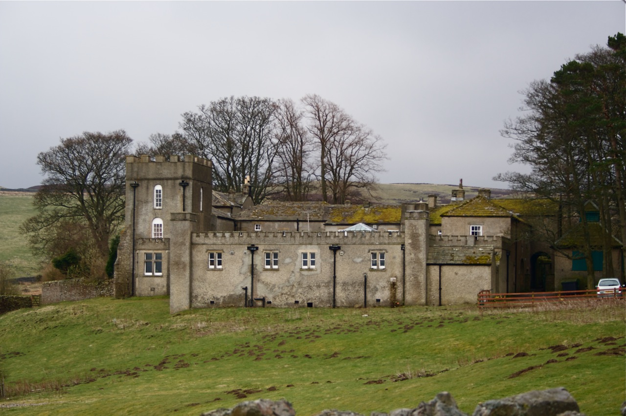
Grinton Lodge
Grinton Lodge is a 19th-century former shooting lodge that has been a youth hostel since 1948. A Grade II listed building, it is situated above the village...

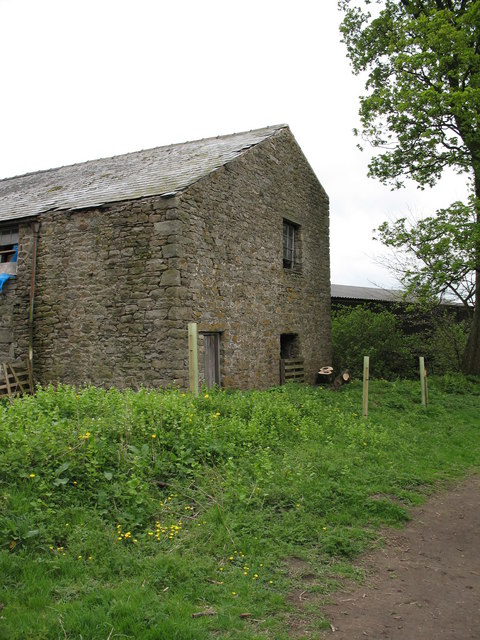
Grinton Smelt Mill
Grinton Smelt Mill (also known as How Mill) is a ruined lead mining and processing site on Cogden Moor, south of Grinton in Swaledale, North Yorkshire...

Marrick Priory
Marrick Priory was a Benedictine nunnery in Richmondshire, North Yorkshire, England, established between 1140 and 1160 by Roger de Aske. The parish Church...
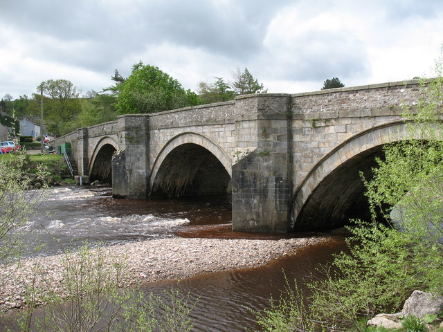
Grinton
Grinton is a small village and civil parish in the Yorkshire Dales, North Yorkshire, England. Close to Reeth and Fremington, it lies 9 miles (15 km) west...

Swaledale Festival
The Swaledale Festival takes place over two weeks in May and June each year, in churches, chapels, castles, ‘Literary Institutes’, pubs, fields and village...

Arkle Beck
Arkle Beck is the stream running through the valley of Arkengarthdale in the Yorkshire Dales, England. It is a tributary of the River Swale, which it joins...
Fremington, North Yorkshire
Fremington is a hamlet in the Yorkshire Dales in North Yorkshire, England. The hamlet is almost joined to Reeth and Grinton. It is split into Low Fremington...
Ellerton Abbey
Ellerton Abbey is a civil parish in the Richmondshire district of North Yorkshire, England. It is located on the River Swale in lower Swaledale, 6 miles...
Nearby Amenities
Located within 500m of 54.371621,-1.9163535Have you been to Cogden Heugh?
Leave your review of Cogden Heugh below (or comments, questions and feedback).