Avenue Plantation
Wood, Forest in Yorkshire Richmondshire
England
Avenue Plantation

Avenue Plantation, Yorkshire, also known as Wood or Forest, is a picturesque natural reserve located in the county of Yorkshire, England. Covering an extensive area of land, it is renowned for its lush greenery, diverse flora, and tranquil atmosphere.
The plantation is home to a wide variety of trees, including oak, ash, beech, and birch, creating a dense and vibrant forest. The dense canopy provides a haven for numerous bird species, making it a popular spot for birdwatchers and nature enthusiasts. Additionally, the forest floor is adorned with an array of wildflowers, adding a burst of color to the landscape.
Visitors to Avenue Plantation can explore its many well-maintained walking trails, which wind through the forest, offering stunning views and a chance to immerse oneself in nature. These paths are suitable for all levels of fitness, making it accessible to both casual strollers and avid hikers.
The plantation also features several picnic areas and benches, allowing visitors to relax and enjoy a meal amidst the peaceful surroundings. Wildlife enthusiasts may be lucky enough to spot deer, rabbits, and other small mammals that inhabit the forest.
Avenue Plantation is open year-round, with each season offering a unique experience. In spring, the forest comes alive with blossoming flowers and the songs of migrating birds. Summer brings lush foliage and a cool retreat from the heat. Autumn paints the trees in vibrant hues, creating a breathtaking spectacle, while winter offers a serene and peaceful ambiance.
Overall, Avenue Plantation, Yorkshire, is a natural gem that offers visitors a chance to escape the hustle and bustle of everyday life and immerse themselves in the beauty of nature.
If you have any feedback on the listing, please let us know in the comments section below.
Avenue Plantation Images
Images are sourced within 2km of 54.376332/-1.9184222 or Grid Reference SE0597. Thanks to Geograph Open Source API. All images are credited.


Avenue Plantation is located at Grid Ref: SE0597 (Lat: 54.376332, Lng: -1.9184222)
Division: North Riding
Administrative County: North Yorkshire
District: Richmondshire
Police Authority: North Yorkshire
What 3 Words
///occurs.reclaimed.gearing. Near Leyburn, North Yorkshire
Nearby Locations
Related Wikis
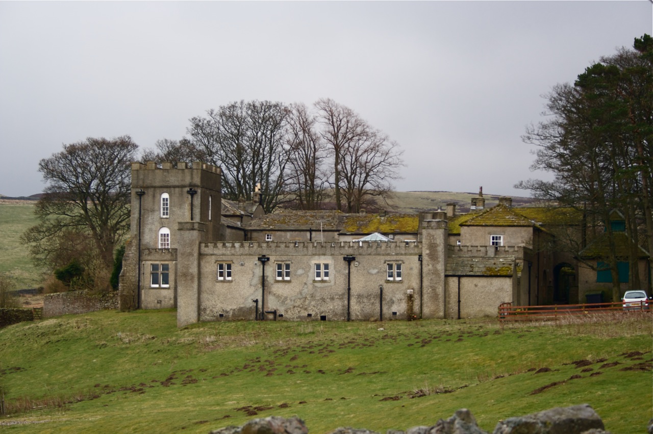
Grinton Lodge
Grinton Lodge is a 19th-century former shooting lodge that has been a youth hostel since 1948. A Grade II listed building, it is situated above the village...
Grinton
Grinton is a small village and civil parish in the Yorkshire Dales, North Yorkshire, England. Close to Reeth and Fremington, it lies 9 miles (15 km) west...

Swaledale Festival
The Swaledale Festival takes place over two weeks in May and June each year, in churches, chapels, castles, ‘Literary Institutes’, pubs, fields and village...

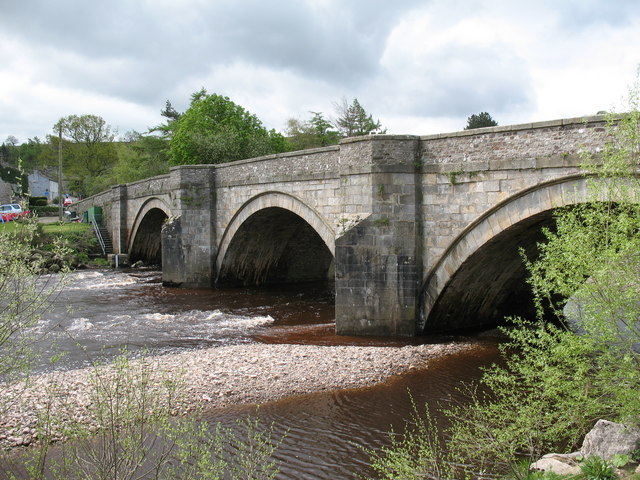
Arkle Beck
Arkle Beck is the stream running through the valley of Arkengarthdale in the Yorkshire Dales, England. It is a tributary of the River Swale, which it joins...

Marrick Priory
Marrick Priory was a Benedictine nunnery in Richmondshire, North Yorkshire, England, established between 1140 and 1160 by Roger de Aske. The parish Church...
Fremington, North Yorkshire
Fremington is a hamlet in the Yorkshire Dales in North Yorkshire, England. The hamlet is almost joined to Reeth and Grinton. It is split into Low Fremington...

Grinton Smelt Mill
Grinton Smelt Mill (also known as How Mill) is a ruined lead mining and processing site on Cogden Moor, south of Grinton in Swaledale, North Yorkshire...

Reeth
Reeth is a village 11 miles (18 km) west of Richmond in North Yorkshire, England, in the civil parish of Reeth, Fremington and Healaugh. Historically part...
Nearby Amenities
Located within 500m of 54.376332,-1.9184222Have you been to Avenue Plantation?
Leave your review of Avenue Plantation below (or comments, questions and feedback).