Ardlaw Hill

Hill, Mountain in Aberdeenshire
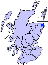
Scotland

Ardlaw Hill

Hillcrest Junction Junction on a quiet back road
Hillcrest Junction Credit: Ralph Greig

Ardlaw Hill is a prominent hill located in Aberdeenshire, Scotland. Standing at an elevation of 413 meters (1,355 feet), it is part of the larger range known as the Howe of the Mearns. Situated approximately 7 kilometers (4.3 miles) southeast of the town of Inverbervie, it offers stunning panoramic views of the surrounding countryside and the North Sea.

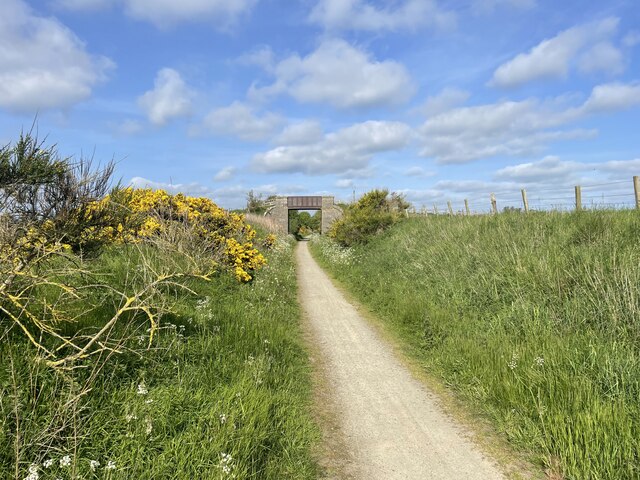
The hill is characterized by its gentle slopes and grassy terrain, making it accessible to hikers of varying levels of experience. Its summit is marked by a trig point, which serves as a popular destination for outdoor enthusiasts seeking a challenging yet rewarding climb. On a clear day, one can admire the breathtaking vistas of the nearby coastal cliffs, rolling farmland, and the quaint villages scattered across the landscape.

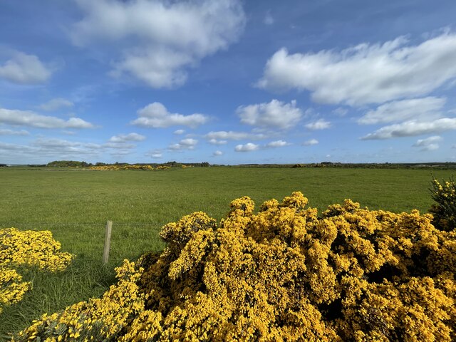
Ardlaw Hill is also known for its rich biodiversity. The area is home to a diverse range of wildlife, including various bird species, such as pheasants and skylarks, as well as small mammals like rabbits and foxes. The hillside is adorned with a mix of heather, gorse, and wildflowers, adding to its natural beauty and attracting nature lovers and photographers alike.

Due to its convenient location and relatively moderate ascent, Ardlaw Hill is a popular destination for both locals and tourists seeking outdoor activities. Many visitors choose to embark on leisurely walks or more challenging hikes up the hill, enjoying the fresh air and stunning scenery along the way.

If you have any feedback on the listing, please let us know in the comments section below.
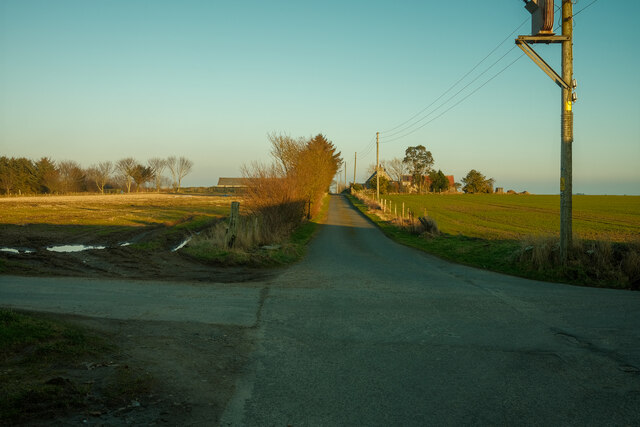
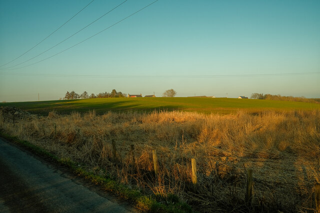
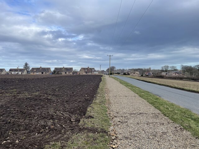
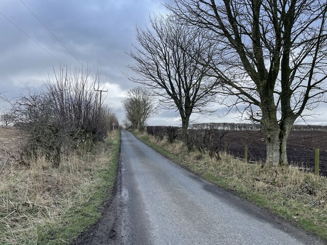
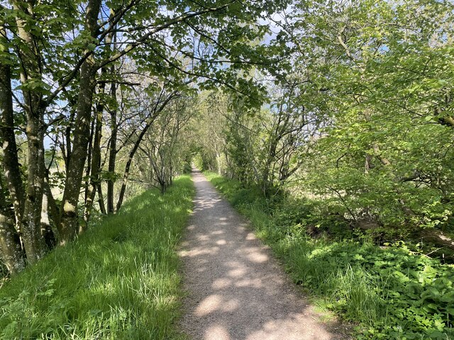
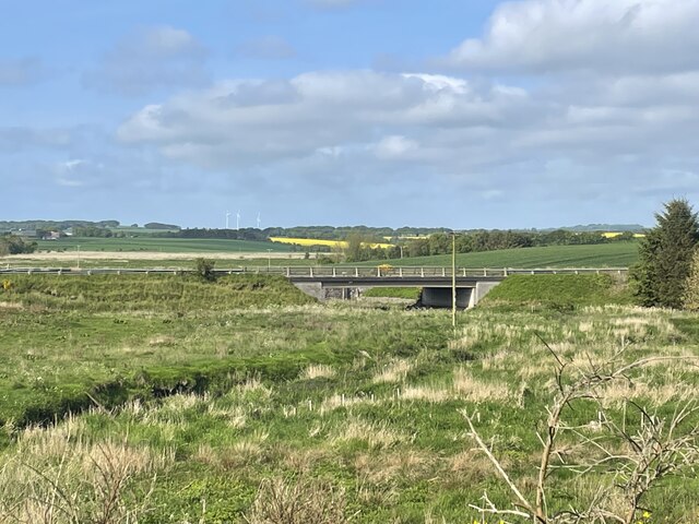
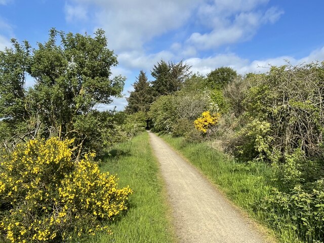
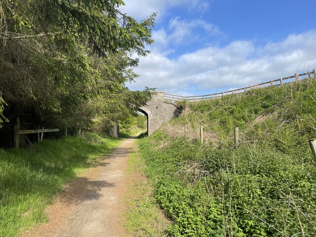
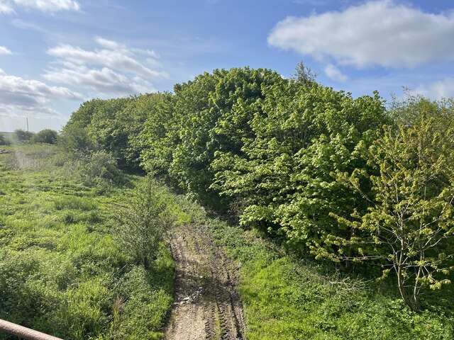
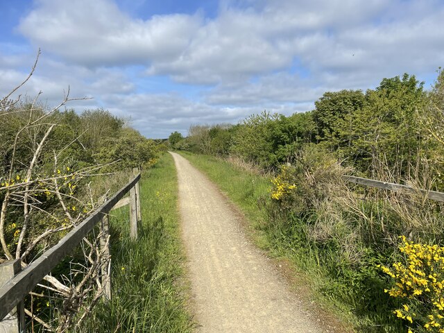
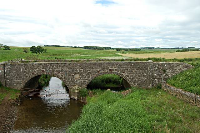
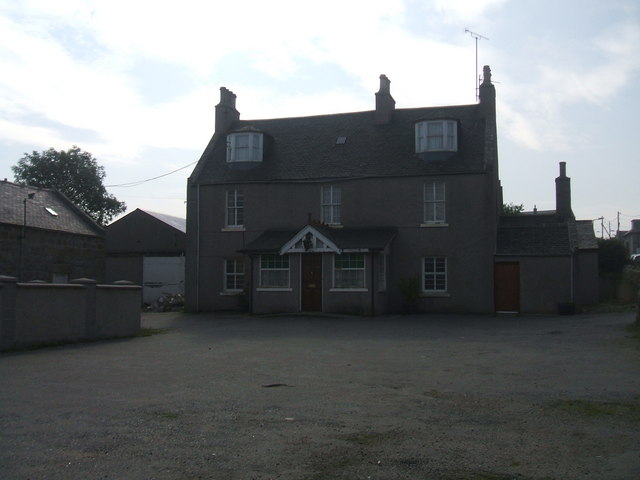
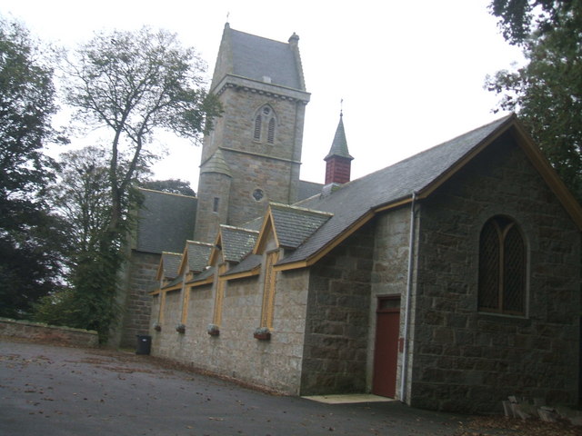
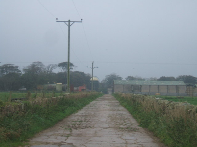
Ardlaw Hill Images

Images are sourced within 2km of 57.529783/-1.9508903 or Grid Reference NK0348. Thanks to Geograph Open Source API. All images are credited.

Hillcrest Junction Junction on a quiet back road
Hillcrest Junction
Junction on a quiet back road
Hillcrest Farm Looking from the old railway towards the Hillcrest
Hillcrest Farm
Looking from the old railway towards the Hillcrest
Into Longside
Into Longside
The Longside Bypass
The Longside Bypass
Farm Fields of Buchan
Bridge over the F&B Way The Formartine and Buchan Way is a long-distance trail in Scotland, extending from Dyce north to Peterhead and Fraserburgh in the Buchan and Formartine districts of Aberdeenshire in Scotland. It follows the track of a former railway line, the Formartine and Buchan Railway, and is open to walkers, cyclists and horse riders.The railway closed in 1979 (Fraserburgh) and 1970 (Maud-Peterhead). The walkway opened in the early 1990s, and is managed by Aberdeenshire Council. It is listed as one of Scotland's Great Trails by NatureScot
64 km (40 mi) to Fraserburgh, plus 21 km (13 mi) spur to Peterhead.
Bridge over the F&B Way
The Formartine and Buchan Way is a long-distance trail in Scotland, extending from Dyce north to Peterhead and Fraserburgh in the Buchan and Formartine districts of Aberdeenshire in Scotland. It follows the track of a former railway line, the Formartine and Buchan Railway, and is open to walkers, cyclists and horse riders.The railway closed in 1979 (Fraserburgh) and 1970 (Maud-Peterhead). The walkway opened in the early 1990s, and is managed by Aberdeenshire Council. It is listed as one of Scotland's Great Trails by NatureScot 64 km (40 mi) to Fraserburgh, plus 21 km (13 mi) spur to Peterhead.
Cycle repair station The Formartine and Buchan Way is a long-distance trail in Scotland, extending from Dyce north to Peterhead and Fraserburgh in the Buchan and Formartine districts of Aberdeenshire in Scotland. It follows the track of a former railway line, the Formartine and Buchan Railway, and is open to walkers, cyclists and horse riders.The railway closed in 1979 (Fraserburgh) and 1970 (Maud-Peterhead). The walkway opened in the early 1990s, and is managed by Aberdeenshire Council. It is listed as one of Scotland's Great Trails by NatureScot
64 km (40 mi) to Fraserburgh, plus 21 km (13 mi) spur to Peterhead.
Cycle repair station
The Formartine and Buchan Way is a long-distance trail in Scotland, extending from Dyce north to Peterhead and Fraserburgh in the Buchan and Formartine districts of Aberdeenshire in Scotland. It follows the track of a former railway line, the Formartine and Buchan Railway, and is open to walkers, cyclists and horse riders.The railway closed in 1979 (Fraserburgh) and 1970 (Maud-Peterhead). The walkway opened in the early 1990s, and is managed by Aberdeenshire Council. It is listed as one of Scotland's Great Trails by NatureScot 64 km (40 mi) to Fraserburgh, plus 21 km (13 mi) spur to Peterhead.
Road into Longside The Formartine and Buchan Way is a long-distance trail in Scotland, extending from Dyce north to Peterhead and Fraserburgh in the Buchan and Formartine districts of Aberdeenshire in Scotland. It follows the track of a former railway line, the Formartine and Buchan Railway, and is open to walkers, cyclists and horse riders.The railway closed in 1979 (Fraserburgh) and 1970 (Maud-Peterhead). The walkway opened in the early 1990s, and is managed by Aberdeenshire Council. It is listed as one of Scotland's Great Trails by NatureScot
64 km (40 mi) to Fraserburgh, plus 21 km (13 mi) spur to Peterhead.
Road into Longside
The Formartine and Buchan Way is a long-distance trail in Scotland, extending from Dyce north to Peterhead and Fraserburgh in the Buchan and Formartine districts of Aberdeenshire in Scotland. It follows the track of a former railway line, the Formartine and Buchan Railway, and is open to walkers, cyclists and horse riders.The railway closed in 1979 (Fraserburgh) and 1970 (Maud-Peterhead). The walkway opened in the early 1990s, and is managed by Aberdeenshire Council. It is listed as one of Scotland's Great Trails by NatureScot 64 km (40 mi) to Fraserburgh, plus 21 km (13 mi) spur to Peterhead.
F&B Way The Formartine and Buchan Way is a long-distance trail in Scotland, extending from Dyce north to Peterhead and Fraserburgh in the Buchan and Formartine districts of Aberdeenshire in Scotland. It follows the track of a former railway line, the Formartine and Buchan Railway, and is open to walkers, cyclists and horse riders.The railway closed in 1979 (Fraserburgh) and 1970 (Maud-Peterhead). The walkway opened in the early 1990s, and is managed by Aberdeenshire Council. It is listed as one of Scotland's Great Trails by NatureScot
64 km (40 mi) to Fraserburgh, plus 21 km (13 mi) spur to Peterhead.
F&B Way
The Formartine and Buchan Way is a long-distance trail in Scotland, extending from Dyce north to Peterhead and Fraserburgh in the Buchan and Formartine districts of Aberdeenshire in Scotland. It follows the track of a former railway line, the Formartine and Buchan Railway, and is open to walkers, cyclists and horse riders.The railway closed in 1979 (Fraserburgh) and 1970 (Maud-Peterhead). The walkway opened in the early 1990s, and is managed by Aberdeenshire Council. It is listed as one of Scotland's Great Trails by NatureScot 64 km (40 mi) to Fraserburgh, plus 21 km (13 mi) spur to Peterhead.
A950 Road Bridge
A950 Road Bridge
The F&B Way
The F&B Way
Glen Ugie Bridge The Formartine and Buchan Way is a long-distance trail in Scotland, extending from Dyce north to Peterhead and Fraserburgh in the Buchan and Formartine districts of Aberdeenshire in Scotland. It follows the track of a former railway line, the Formartine and Buchan Railway, and is open to walkers, cyclists and horse riders.The railway closed in 1979 (Fraserburgh) and 1970 (Maud-Peterhead). The walkway opened in the early 1990s, and is managed by Aberdeenshire Council. It is listed as one of Scotland's Great Trails by NatureScot
64 km (40 mi) to Fraserburgh, plus 21 km (13 mi) spur to Peterhead.
Glen Ugie Bridge
The Formartine and Buchan Way is a long-distance trail in Scotland, extending from Dyce north to Peterhead and Fraserburgh in the Buchan and Formartine districts of Aberdeenshire in Scotland. It follows the track of a former railway line, the Formartine and Buchan Railway, and is open to walkers, cyclists and horse riders.The railway closed in 1979 (Fraserburgh) and 1970 (Maud-Peterhead). The walkway opened in the early 1990s, and is managed by Aberdeenshire Council. It is listed as one of Scotland's Great Trails by NatureScot 64 km (40 mi) to Fraserburgh, plus 21 km (13 mi) spur to Peterhead.
Old Access Road The Formartine and Buchan Way is a long-distance trail in Scotland, extending from Dyce north to Peterhead and Fraserburgh in the Buchan and Formartine districts of Aberdeenshire in Scotland. It follows the track of a former railway line, the Formartine and Buchan Railway, and is open to walkers, cyclists and horse riders.The railway closed in 1979 (Fraserburgh) and 1970 (Maud-Peterhead). The walkway opened in the early 1990s, and is managed by Aberdeenshire Council. It is listed as one of Scotland's Great Trails by NatureScot
64 km (40 mi) to Fraserburgh, plus 21 km (13 mi) spur to Peterhead.
Old Access Road
The Formartine and Buchan Way is a long-distance trail in Scotland, extending from Dyce north to Peterhead and Fraserburgh in the Buchan and Formartine districts of Aberdeenshire in Scotland. It follows the track of a former railway line, the Formartine and Buchan Railway, and is open to walkers, cyclists and horse riders.The railway closed in 1979 (Fraserburgh) and 1970 (Maud-Peterhead). The walkway opened in the early 1990s, and is managed by Aberdeenshire Council. It is listed as one of Scotland's Great Trails by NatureScot 64 km (40 mi) to Fraserburgh, plus 21 km (13 mi) spur to Peterhead.
The F&B Way The Formartine and Buchan Way is a long-distance trail in Scotland, extending from Dyce north to Peterhead and Fraserburgh in the Buchan and Formartine districts of Aberdeenshire in Scotland. It follows the track of a former railway line, the Formartine and Buchan Railway, and is open to walkers, cyclists and horse riders.The railway closed in 1979 (Fraserburgh) and 1970 (Maud-Peterhead). The walkway opened in the early 1990s, and is managed by Aberdeenshire Council. It is listed as one of Scotland's Great Trails by NatureScot
64 km (40 mi) to Fraserburgh, plus 21 km (13 mi) spur to Peterhead.
The F&B Way
The Formartine and Buchan Way is a long-distance trail in Scotland, extending from Dyce north to Peterhead and Fraserburgh in the Buchan and Formartine districts of Aberdeenshire in Scotland. It follows the track of a former railway line, the Formartine and Buchan Railway, and is open to walkers, cyclists and horse riders.The railway closed in 1979 (Fraserburgh) and 1970 (Maud-Peterhead). The walkway opened in the early 1990s, and is managed by Aberdeenshire Council. It is listed as one of Scotland's Great Trails by NatureScot 64 km (40 mi) to Fraserburgh, plus 21 km (13 mi) spur to Peterhead.
The South Ugie Looking up stream on the South Ugie near Ugiebank by Longside.
The South Ugie
Looking up stream on the South Ugie near Ugiebank by Longside.
Bruce Arms Hotel, Longside currently closed. pile of rubble at right of building is the old 'lean-to' Public Bar. Never luxurious. Village trade lost to prosperous Football Social Club and Golf Club.
Bruce Arms Hotel, Longside
currently closed. pile of rubble at right of building is the old 'lean-to' Public Bar. Never luxurious. Village trade lost to prosperous Football Social Club and Golf Club.
St John's Church, Longside As you enter Longside from the east from Peterhead. The tower is a landmark for miles around. Very handsome church hall in foreground.
St John's Church, Longside
As you enter Longside from the east from Peterhead. The tower is a landmark for miles around. Very handsome church hall in foreground.
road to Cairngall Farm, Longside this farm's dairy herd are a nice pastoral sight on the Peterhead- Longside road
road to Cairngall Farm, Longside
this farm's dairy herd are a nice pastoral sight on the Peterhead- Longside road
Show me another place!

Ardlaw Hill is located at Grid Ref: NK0348 (Lat: 57.529783, Lng: -1.9508903)

Unitary Authority: Aberdeenshire

Police Authority: North East

What 3 Words

///capillary.chin.wacky. Near Mintlaw, Aberdeenshire

Nearby Locations

Ardlaw Hill

Related Wikis

Nearby Amenities

Located within 500m of 57.529783,-1.9508903
Power: pole
Lat/Long: 57.5327948/-1.9504252
Power: pole
Lat/Long: 57.5329861/-1.9494477
Power: pole
Lat/Long: 57.5331916/-1.9483419
Power: pole
Lat/Long: 57.5334081/-1.9472178
The data included in this document is from www.openstreetmap.org. The data is made available under ODbL.

Have you been to Ardlaw Hill?

Leave your review of Ardlaw Hill below (or comments, questions and feedback).