Knowl Hill
Hill, Mountain in Dorset
England
Knowl Hill

The requested URL returned error: 429 Too Many Requests
If you have any feedback on the listing, please let us know in the comments section below.
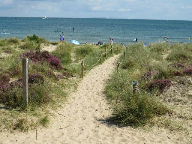
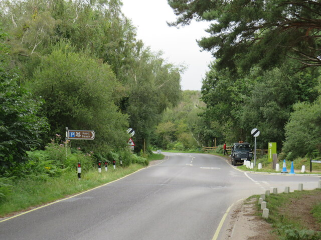
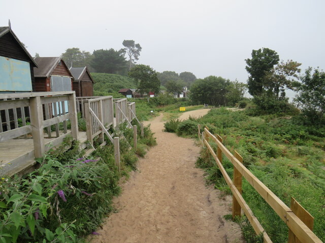
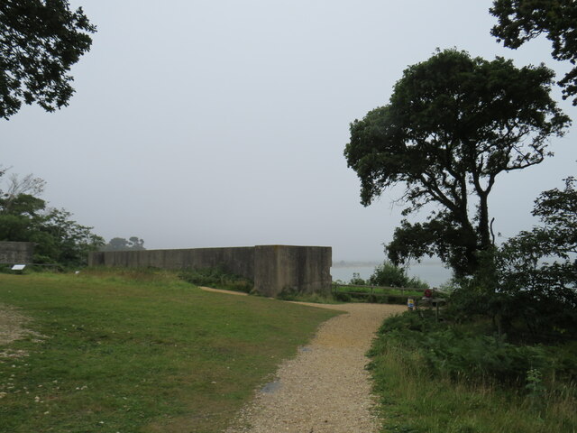
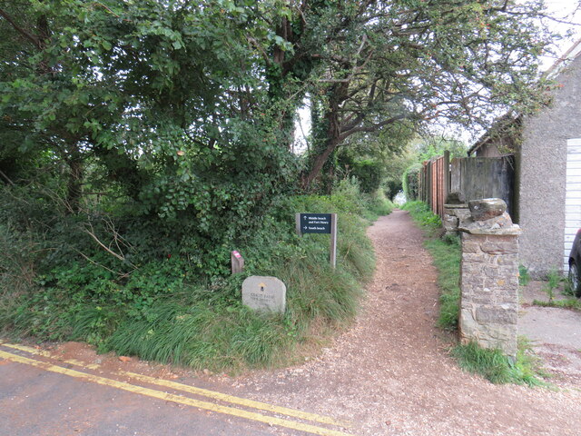
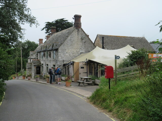
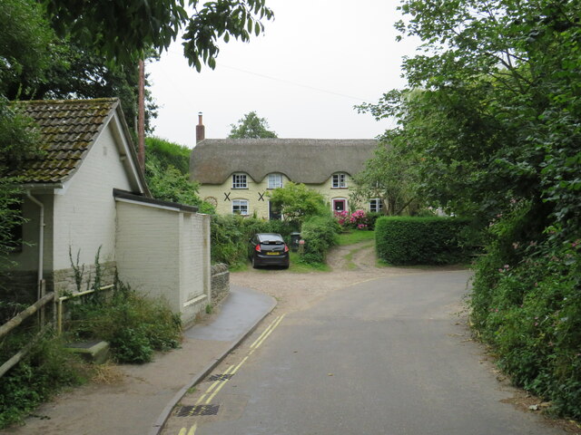
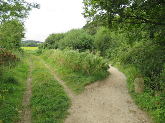
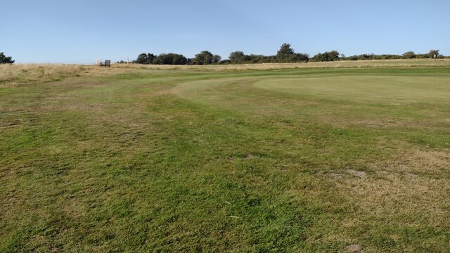
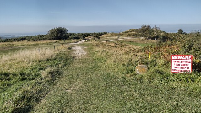
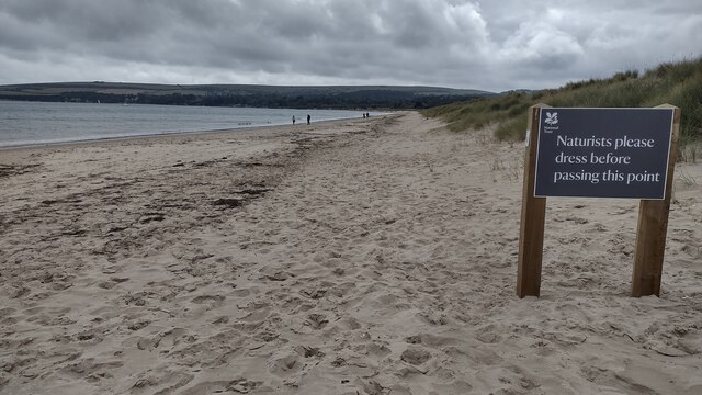
Knowl Hill Images
Images are sourced within 2km of 50.649097/-1.9582782 or Grid Reference SZ0383. Thanks to Geograph Open Source API. All images are credited.


Knowl Hill is located at Grid Ref: SZ0383 (Lat: 50.649097, Lng: -1.9582782)
Unitary Authority: Dorset
Police Authority: Dorset
What 3 Words
///unfit.grows.cookbooks. Near Swanage, Dorset
Nearby Locations
Related Wikis

Studland and Godlingston Heath National Nature Reserve
The Studland and Godlingston Heaths NNR is located on the Isle of Purbeck in the English county of Dorset. It borders Studland Bay on the south side of...
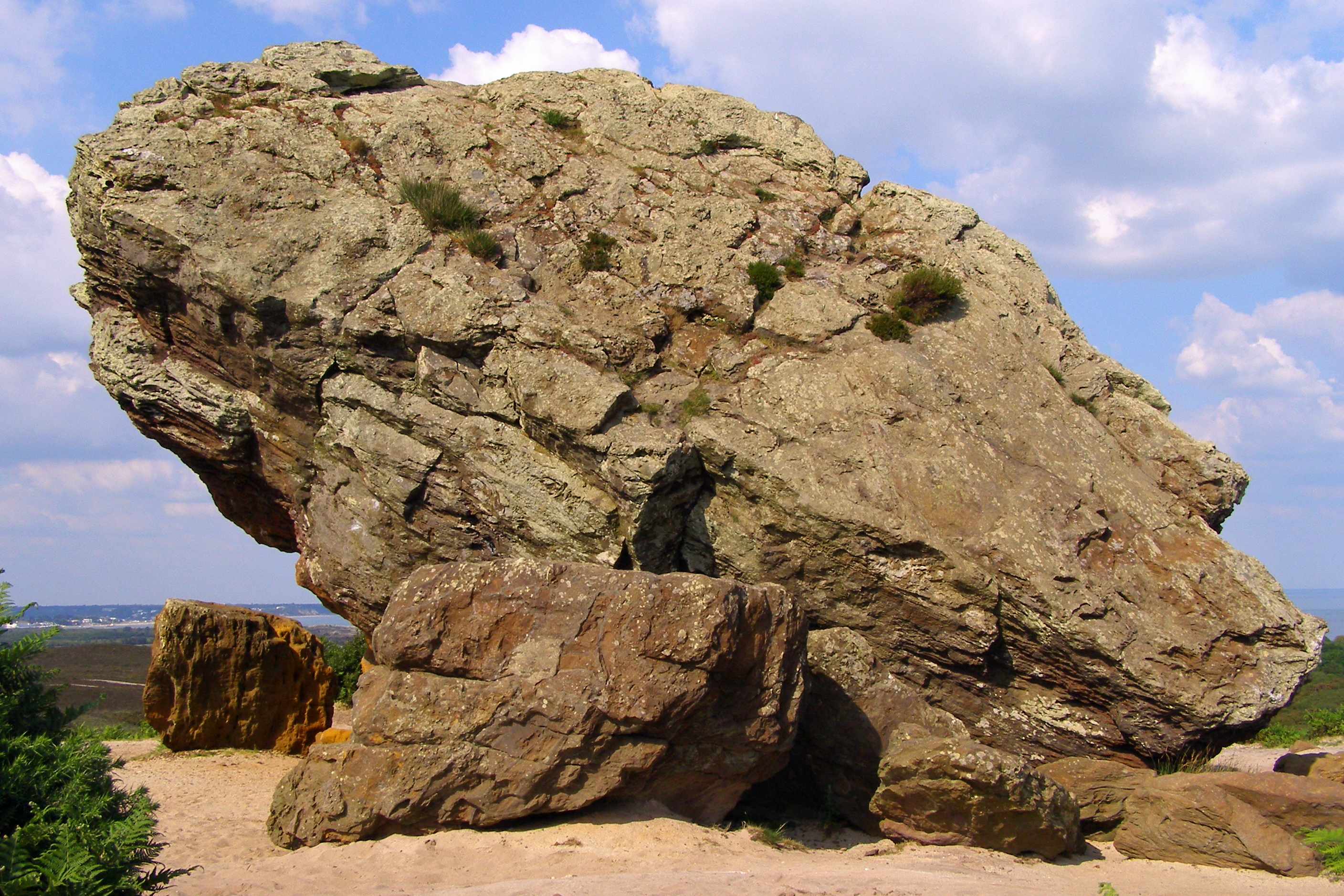
Agglestone Rock
Agglestone Rock, also known as the Devil's Anvil, is a sandstone block of about 400 tonnes weight, perched on a conical hill, approximately 1-mile (1.6...
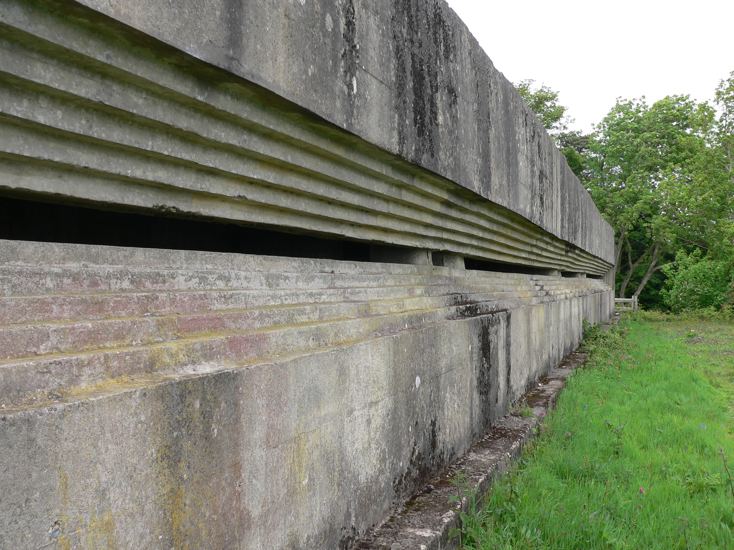
Fort Henry, Dorset
Fort Henry is a Grade II listed World War Two observation bunker overlooking Studland Bay, in Dorset. It was built in 1943 to defend the bay from possible...
Studland
Studland is a village and civil parish on the Isle of Purbeck in Dorset, England. The village is located about 2 miles (3.2 km) north of the town of Swanage...
Nearby Amenities
Located within 500m of 50.649097,-1.9582782Have you been to Knowl Hill?
Leave your review of Knowl Hill below (or comments, questions and feedback).