Brown Hill

Hill, Mountain in Yorkshire

England

Brown Hill

Holden Park, Hypertufa Garden Walls The remains of the fanciful gardens of Oakworth Hall. There are elevated walkways, grottoes and caves with mosaic floors. Features are made from stone and hypertufa to give the petrified forest look.
Holden Park, Hypertufa Garden Walls Credit: Kevin Waterhouse

Brown Hill is a prominent geographical feature located in the county of Yorkshire, England. Situated in the Yorkshire Dales National Park, it is part of the Pennine range and is classified as a hill rather than a mountain due to its elevation of 451 meters (1,480 feet) above sea level.

The hill is characterized by its distinctive brownish hue, which is a result of the underlying gritstone geology. This unique feature gives Brown Hill its name and makes it easily recognizable in the surrounding landscape. It is located near the village of Reeth, within the Richmondshire district.

The area surrounding Brown Hill is renowned for its stunning natural beauty, featuring picturesque valleys, rolling hills, and lush greenery. It is a popular destination for hikers, nature enthusiasts, and photographers, offering breathtaking panoramic views from its summit. The hill also serves as a habitat for various plant and animal species, adding to its ecological significance.

Visitors to Brown Hill can access it via well-maintained footpaths, which provide a range of walking and hiking opportunities suitable for all skill levels. The hill's location within the national park ensures that it remains relatively unspoiled and offers a peaceful and tranquil environment for outdoor activities.

Overall, Brown Hill stands as a significant landmark in Yorkshire, offering both recreational and ecological value. Its distinctive coloration, combined with its accessibility and natural surroundings, make it a must-visit destination for those seeking to explore the beauty of the Yorkshire Dales.

If you have any feedback on the listing, please let us know in the comments section below.
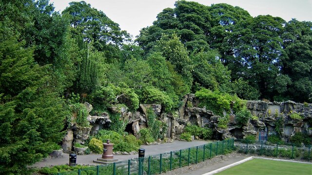
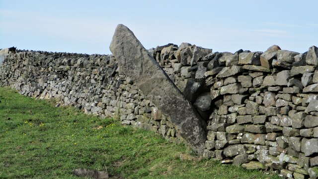
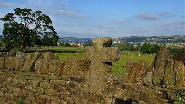
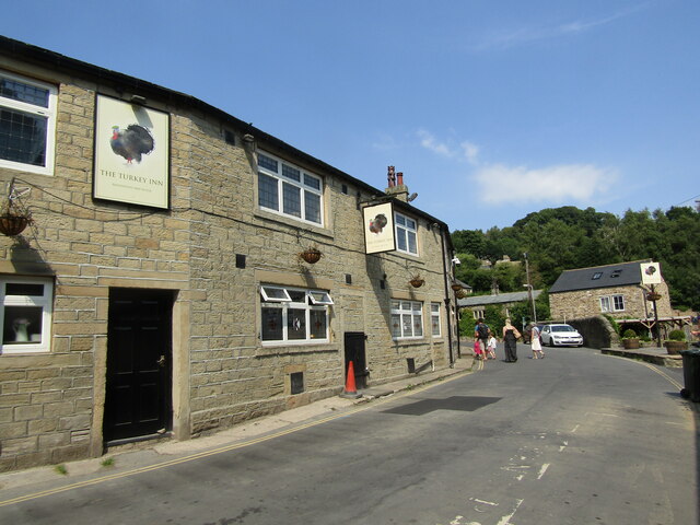
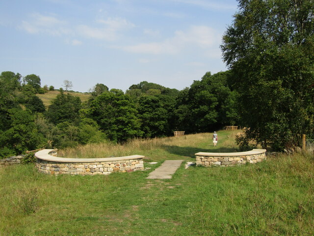
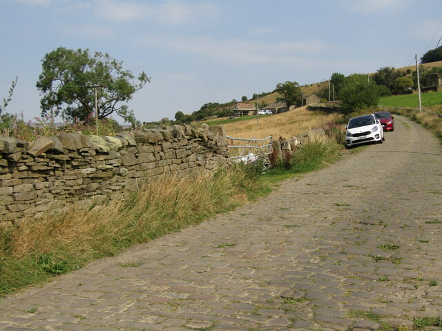
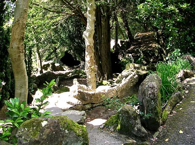
Brown Hill Images

Images are sourced within 2km of 53.856249/-1.9654985 or Grid Reference SE0240. Thanks to Geograph Open Source API. All images are credited.

Holden Park, Hypertufa Garden Walls The remains of the fanciful gardens of Oakworth Hall. There are elevated walkways, grottoes and caves with mosaic floors. Features are made from stone and hypertufa to give the petrified forest look.
Holden Park, Hypertufa Garden Walls
The remains of the fanciful gardens of Oakworth Hall. There are elevated walkways, grottoes and caves with mosaic floors. Features are made from stone and hypertufa to give the petrified forest look.
Holden Park Bowling Green The green flanked by the remaining part of the demolished house, the portico
Holden Park Bowling Green
The green flanked by the remaining part of the demolished house, the portico
Pole Stoop A large boundary stone
Pole Stoop
A large boundary stone
Cross built into the wall On Main Street
Cross built into the wall
On Main Street
Goose Eye - The Turkey Inn Traditional Yorkshire pub at Goose Eye, Laycock. It sits opposite the historic Turkey Mill (for cotton and paper) and was originally three workers' cottages.
Goose Eye - The Turkey Inn
Traditional Yorkshire pub at Goose Eye, Laycock. It sits opposite the historic Turkey Mill (for cotton and paper) and was originally three workers' cottages.
Goose Eye - Captain Tom's Wood A new woodland garden beside the North Beck between Goose Eye and Laycock. It was planted 2021 in memory of Captain Sir Tom Moore who raised nearly £33 million for charities supporting the National Health Service during the COVID-19 pandemic.
Goose Eye - Captain Tom's Wood
A new woodland garden beside the North Beck between Goose Eye and Laycock. It was planted 2021 in memory of Captain Sir Tom Moore who raised nearly £33 million for charities supporting the National Health Service during the COVID-19 pandemic.
Goose Eye - Holme House Lane Drystone dyke and pastoral farmland in a side valley between Goose Eye and Laycock. The lane is paved with setts.
Goose Eye - Holme House Lane
Drystone dyke and pastoral farmland in a side valley between Goose Eye and Laycock. The lane is paved with setts.
Path crossing Butter Clough Where the small clough descends through Lower Holme House Wood it is crossed by this footpath. The beck itself was minor enough to cause no difficulty, but a stile, rocks and fallen tree branch made it a little tricky.
Path crossing Butter Clough
Where the small clough descends through Lower Holme House Wood it is crossed by this footpath. The beck itself was minor enough to cause no difficulty, but a stile, rocks and fallen tree branch made it a little tricky.
Winter sunshine through the trees In Lower Holme House Wood, looking across North Beck.
Winter sunshine through the trees
In Lower Holme House Wood, looking across North Beck.
Clearing in Lower Holme House Wood
Woodland Trust sign It says 'Welcome. Higher and Lower Holmes House' although the woodland is shown on both older and contemporary maps as 'Holme House'.
Woodland Trust sign
It says 'Welcome. Higher and Lower Holmes House' although the woodland is shown on both older and contemporary maps as 'Holme House'.
Footbridge over North Beck This bridge is not shown on either older or contemporary maps; it is not on a right of way, and has probably been introduced by the Woodland Trust for the benefit of its own volunteers in the 10 hectare woodland <span class="nowrap"><a title="https://www.woodlandtrust.org.uk/visiting-woods/woods/higher-lower-holmes-house/" rel="nofollow ugc noopener" href="https://www.woodlandtrust.org.uk/visiting-woods/woods/higher-lower-holmes-house/">Link</a><img style="margin-left:2px;" alt="External link" title="External link - shift click to open in new window" src="https://s1.geograph.org.uk/img/external.png" width="10" height="10"/></span> .
Footbridge over North Beck
This bridge is not shown on either older or contemporary maps; it is not on a right of way, and has probably been introduced by the Woodland Trust for the benefit of its own volunteers in the 10 hectare woodland LinkExternal link .
Wood Mill Farm Originally a worsted mill on North Beck.
Wood Mill Farm
Originally a worsted mill on North Beck.
Spring-fed trough above Wood Mill Farm This sort of drinking facility for animals alongside a track is common throughout the Pennines.
Spring-fed trough above Wood Mill Farm
This sort of drinking facility for animals alongside a track is common throughout the Pennines.
70 Main Street, Laycock Several of the houses in the village are listed, but not this one, though it is a fine property in Georgian style. Note that what looks like a sash window is actually a casement (top left).
70 Main Street, Laycock
Several of the houses in the village are listed, but not this one, though it is a fine property in Georgian style. Note that what looks like a sash window is actually a casement (top left).
Laycock Manor House and Rose Cottage Listed grade II (list entry 1134065). According to another source <span class="nowrap"><a title="http://www.visitoruk.com/Keighley/laycock-C592-V12296.html" rel="nofollow ugc noopener" href="http://www.visitoruk.com/Keighley/laycock-C592-V12296.html">Link</a><img style="margin-left:2px;" alt="External link" title="External link - shift click to open in new window" src="https://s1.geograph.org.uk/img/external.png" width="10" height="10"/></span> 'The manor house is thought to have been built in 1697 and has an original stone fireplace'.
Laycock Manor House and Rose Cottage
Listed grade II (list entry 1134065). According to another source LinkExternal link 'The manor house is thought to have been built in 1697 and has an original stone fireplace'.
Main Street, Laycock The house on the left is dated 1842 but it is the two houses at the far end of the row that date from 1685 and are listed grade II (list entry 1200291).
Main Street, Laycock
The house on the left is dated 1842 but it is the two houses at the far end of the row that date from 1685 and are listed grade II (list entry 1200291).
The Old Post House, Laycock It does still have a post box <a href="https://www.geograph.org.uk/photo/834080">SE0340 : Elizabeth II Postbox, Laycock</a>.
The Old Post House, Laycock
It does still have a post box SE0340 : Elizabeth II Postbox, Laycock.
Show me another place!

Brown Hill is located at Grid Ref: SE0240 (Lat: 53.856249, Lng: -1.9654985)

Division: West Riding

Unitary Authority: Bradford

Police Authority: West Yorkshire

What 3 Words

///neck.lease.putts. Near Haworth, West Yorkshire

Related Wikis

Laycock, West Yorkshire

Laycock is a small village in the Bradford District of West Yorkshire that overlooks the hamlet of Goose Eye. The village is 1.9 miles (3 km) west of the...

Oakworth

Oakworth is a village in West Yorkshire, England, near Keighley, by the River Worth. The name "Oakworth" indicates that the village was first established...

Holden Park

Holden Park is the only park in the village of Oakworth, West Yorkshire, England. The park is also known locally as Oakworth Park. == History == The park...

Oakworth Hall

Oakworth Hall is located in Oakworth, West Yorkshire, England. The manor house was rebuilt in the 17th century, but has a history dating back to 1066....

Related Videos

HAWORTH | Full tour of HAWORTH Village BRONTE COUNTRY England | 4K Walking Tour

HAWORTH | Full tour of Haworth Village BRONTE COUNTRY England | 4K Walking Tour A 4k Virtual Walk through the Bronte ...

Walking through Wuthering Heights

On a VERY foggy day just after Christmas we had a walk across Haworth Moor to Bronte Waterfall and further on to Top Withens, ...

Wuthering Heights walk

A walk near Haworth over the moors to see the Bronté Fall (which are a series of small waterfalls in the river valley), then up to ...

Dj Tetro - Walking up the hill at #Bronteland [17.06.22] [4K]

Come and walk with us up the main street in Haworth as we aim for the pub at the top with ice cold beer...

Nearby Amenities

Located within 500m of 53.856249,-1.9654985
Power: tower
Source: OS 1:25k
Lat/Long: 53.8601641/-1.9636232
Power: tower
Source: OS 1:25k
Lat/Long: 53.8554185/-1.965614
Power: tower
Lat/Long: 53.8575559/-1.9646591
Power: tower
Lat/Long: 53.8542717/-1.9661021
The data included in this document is from www.openstreetmap.org. The data is made available under ODbL.

Have you been to Brown Hill?

Leave your review of Brown Hill below (or comments, questions and feedback).