Goose Eye Wood

Wood, Forest in Yorkshire

England

Goose Eye Wood

Holden Park, Hypertufa Garden Walls The remains of the fanciful gardens of Oakworth Hall. There are elevated walkways, grottoes and caves with mosaic floors. Features are made from stone and hypertufa to give the petrified forest look.
Holden Park, Hypertufa Garden Walls Credit: Kevin Waterhouse

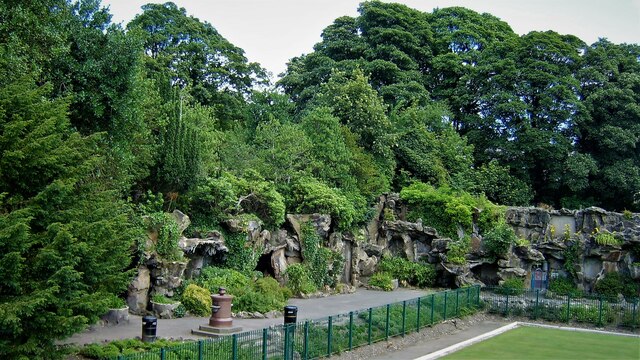
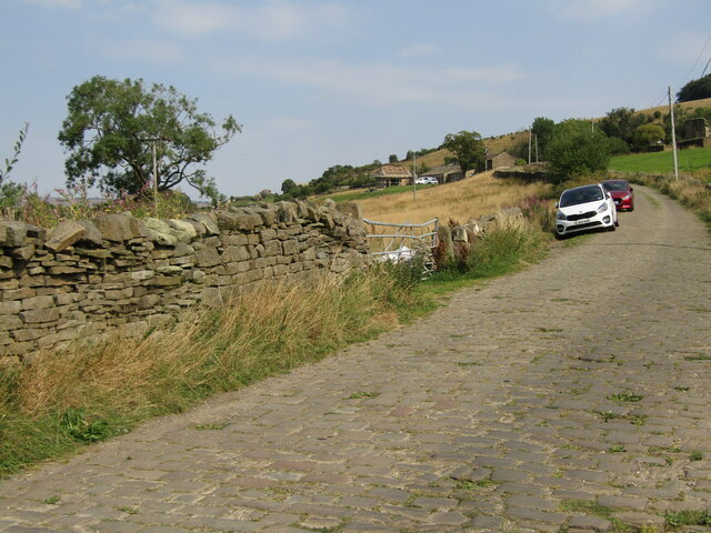
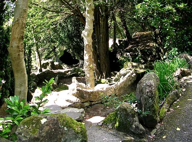
Goose Eye Wood is a picturesque woodland located in the heart of Yorkshire, England. Spanning an area of approximately 50 acres, this enchanting forest is nestled between the charming villages of Goose Eye and Laycock. The wood is characterized by its dense canopy of towering oak, beech, and ash trees, providing a haven for a diverse range of flora and fauna.

The woodland features a network of well-maintained footpaths, allowing visitors to explore its natural beauty while enjoying peaceful walks or engaging in outdoor activities such as birdwatching and photography. The forest floor is adorned with a carpet of bluebells during the spring months, creating a stunning spectacle for nature lovers.

Goose Eye Wood is also home to a rich variety of wildlife. Red squirrels, badgers, and deer can often be spotted in the more secluded areas, while a myriad of bird species, including owls and woodpeckers, inhabit the treetops. The woodland's tranquil atmosphere and abundance of wildlife make it a popular destination for nature enthusiasts and families alike.

The wood is managed by a local conservation trust, which ensures its preservation and protection. Regular maintenance activities such as tree planting and habitat restoration are carried out to maintain the natural balance and enhance biodiversity within the wood.

Overall, Goose Eye Wood is a true gem of Yorkshire, offering a peaceful retreat from the hustle and bustle of everyday life. Its idyllic setting, diverse ecosystem, and well-maintained trails make it a must-visit destination for anyone seeking to reconnect with nature in this beautiful part of the world.

If you have any feedback on the listing, please let us know in the comments section below.

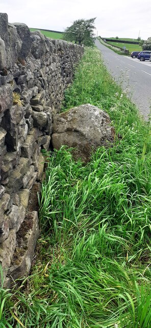
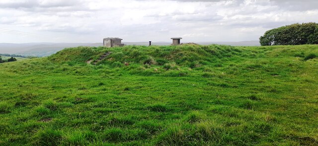
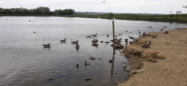
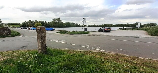
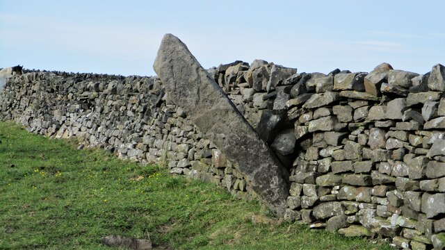
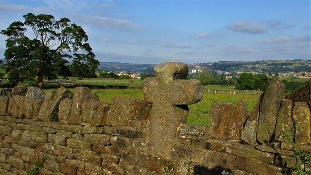
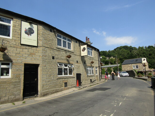
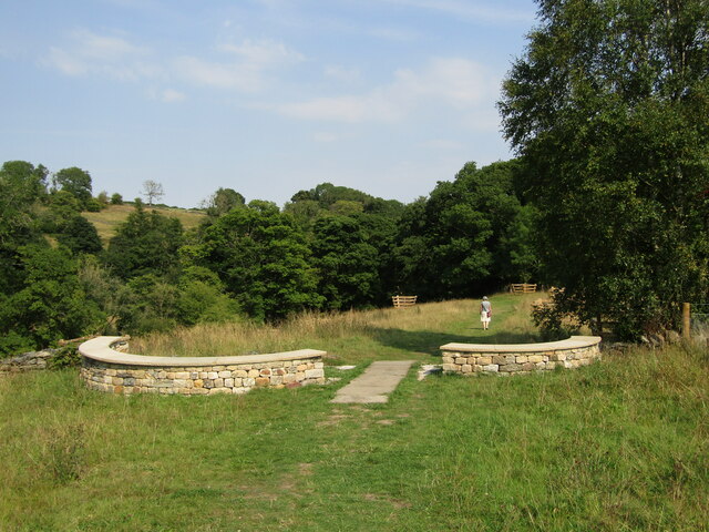
Goose Eye Wood Images

Images are sourced within 2km of 53.861028/-1.9567215 or Grid Reference SE0240. Thanks to Geograph Open Source API. All images are credited.

Holden Park, Hypertufa Garden Walls The remains of the fanciful gardens of Oakworth Hall. There are elevated walkways, grottoes and caves with mosaic floors. Features are made from stone and hypertufa to give the petrified forest look.
Holden Park, Hypertufa Garden Walls
The remains of the fanciful gardens of Oakworth Hall. There are elevated walkways, grottoes and caves with mosaic floors. Features are made from stone and hypertufa to give the petrified forest look.
Holden Park Bowling Green The green flanked by the remaining part of the demolished house, the portico
Holden Park Bowling Green
The green flanked by the remaining part of the demolished house, the portico
Benchmark on gatepost at field gateway on SW side of Black Hill Lane Ordnance Survey cut mark benchmark levelled at 301.880m above Newlyn Datum verified 1962
Benchmark on gatepost at field gateway on SW side of Black Hill Lane
Ordnance Survey cut mark benchmark levelled at 301.880m above Newlyn Datum verified 1962
Field gateway on SW side of Black Hill Lane opposite Tarn House There is an Ordnance Survey benchmark <a href="https://www.geograph.org.uk/photo/7176738">SE0342 : Benchmark on gatepost at field gateway on SW side of Black Hill Lane</a> on the road face of the left hand gatepost
Field gateway on SW side of Black Hill Lane opposite Tarn House
There is an Ordnance Survey benchmark SE0342 : Benchmark on gatepost at field gateway on SW side of Black Hill Lane on the road face of the left hand gatepost
Benchmark on stone in wall on SW side of Black Hill Lane opposite Redcar Tarn Ordnance Survey rivet benchmark levelled at 290.295m above Newlyn Datum verified 1962
Benchmark on stone in wall on SW side of Black Hill Lane opposite Redcar Tarn
Ordnance Survey rivet benchmark levelled at 290.295m above Newlyn Datum verified 1962
Black Hill Lane heading NW opposite Redcar Tarn There is an Ordnance Survey benchmark <a href="https://www.geograph.org.uk/photo/7176789">SE0342 : Benchmark on stone in wall on SW side of Black Hill Lane opposite Redcar Tarn</a> on the protruding stone at the base of the wall in the left foreground
Black Hill Lane heading NW opposite Redcar Tarn
There is an Ordnance Survey benchmark SE0342 : Benchmark on stone in wall on SW side of Black Hill Lane opposite Redcar Tarn on the protruding stone at the base of the wall in the left foreground
Royal Observation Corps building on NE side of Black Hill Lane
Geese, ducks and gulls on Redcar Tarn
Redcar Tarn from junction of Tarn Lane with Black Hill Lane I wonder what is the significance of concrete post at the junction?
Redcar Tarn from junction of Tarn Lane with Black Hill Lane
I wonder what is the significance of concrete post at the junction?
Gateway from field onto Black Hill Lane
Pole Stoop A large boundary stone
Pole Stoop
A large boundary stone
Cross built into the wall On Main Street
Cross built into the wall
On Main Street
Goose Eye - The Turkey Inn Traditional Yorkshire pub at Goose Eye, Laycock. It sits opposite the historic Turkey Mill (for cotton and paper) and was originally three workers' cottages.
Goose Eye - The Turkey Inn
Traditional Yorkshire pub at Goose Eye, Laycock. It sits opposite the historic Turkey Mill (for cotton and paper) and was originally three workers' cottages.
Goose Eye - Captain Tom's Wood A new woodland garden beside the North Beck between Goose Eye and Laycock. It was planted 2021 in memory of Captain Sir Tom Moore who raised nearly £33 million for charities supporting the National Health Service during the COVID-19 pandemic.
Goose Eye - Captain Tom's Wood
A new woodland garden beside the North Beck between Goose Eye and Laycock. It was planted 2021 in memory of Captain Sir Tom Moore who raised nearly £33 million for charities supporting the National Health Service during the COVID-19 pandemic.
Goose Eye - Holme House Lane Drystone dyke and pastoral farmland in a side valley between Goose Eye and Laycock. The lane is paved with setts.
Goose Eye - Holme House Lane
Drystone dyke and pastoral farmland in a side valley between Goose Eye and Laycock. The lane is paved with setts.
Young trees below North Dean Road
Water main repairs below North Dean Road If the water company was not carrying out repairs, there would be nothing to indicate the presence of these mains, which don't appear to be heading to or from any nearby reservoir or rteatment plant.
Water main repairs below North Dean Road
If the water company was not carrying out repairs, there would be nothing to indicate the presence of these mains, which don't appear to be heading to or from any nearby reservoir or rteatment plant.
Muddy track below North Dean Road Part of a public footpath. If the ground had not been frozen, it would have been a tricky walk as construction plant had churned up the mud <a href="https://www.geograph.org.uk/photo/7391839">SE0440 : Water main repairs below North Dean Road</a>.
Muddy track below North Dean Road
Part of a public footpath. If the ground had not been frozen, it would have been a tricky walk as construction plant had churned up the mud SE0440 : Water main repairs below North Dean Road.
Show me another place!

Goose Eye Wood is located at Grid Ref: SE0240 (Lat: 53.861028, Lng: -1.9567215)

Division: West Riding

Unitary Authority: Bradford

Police Authority: West Yorkshire

What 3 Words

///listed.ants.device. Near Steeton, West Yorkshire

Related Wikis

Laycock, West Yorkshire

Laycock is a small village in the Bradford District of West Yorkshire that overlooks the hamlet of Goose Eye. The village is 1.9 miles (3 km) west of the...

Holden Park

Holden Park is the only park in the village of Oakworth, West Yorkshire, England. The park is also known locally as Oakworth Park. == History == The park...

Oakworth

Oakworth is a village in West Yorkshire, England, near Keighley, by the River Worth. The name "Oakworth" indicates that the village was first established...

Oakworth Hall

Oakworth Hall is located in Oakworth, West Yorkshire, England. The manor house was rebuilt in the 17th century, but has a history dating back to 1066....

Nearby Amenities

Located within 500m of 53.861028,-1.9567215
Game Scar Lane
Local Ref: 45024543
Naptan AtcoCode: 450024543
Naptan Bearing: N
Naptan BusStopType: CUS
Naptan CommonName: Game Scar Lane
Naptan Crossing: Lund Lane
Naptan Indicator: Stop 45024543
Naptan PlusbusZoneRef: LEEDS
Naptan ShortCommonName: Lund Lane
Naptan Street: Game Scar Lane
Naptan Verified: no
Source: naptan_import
Lat/Long: 53.862193/-1.9579417
Power: tower
Source: OS 1:25k
Lat/Long: 53.8650633/-1.9600722
Power: tower
Source: OS 1:25k
Lat/Long: 53.8601641/-1.9636232
Pub
Turkey Inn
Addr City: Keighley
Addr Housenumber: 20
Addr Postcode: BD22 0PD
Addr Street: Goose Eye
Addr Village: Laycock
Fhrs Id: 326821
Outdoor Seating: yes
Source Addr: FHRS Open Data
Lat/Long: 53.8615644/-1.9578811
Public Bookcase
Booth: K6
Disused Amenity: telephone
Listed Status: Grade II
Man Made: telephone_box
Public Bookcase Type: phone_box
Lat/Long: 53.8617069/-1.957766
Bench
Lat/Long: 53.8615802/-1.9576587
Power: tower
Lat/Long: 53.8621892/-1.9628567
Generator Method: photovoltaic
Generator Output Electricity: yes
Generator Source: solar
Generator Type: solar_photovoltaic_panel
Power: generator
Lat/Long: 53.8626385/-1.9580803
Generator Method: photovoltaic
Generator Output Electricity: yes
Generator Source: solar
Generator Type: solar_photovoltaic_panel
Power: generator
Lat/Long: 53.8628417/-1.9581581
Bench
Backrest: no
Material: wood
Lat/Long: 53.8635037/-1.9574647
Generator Method: photovoltaic
Generator Output Electricity: yes
Generator Source: solar
Generator Type: solar_photovoltaic_panel
Power: generator
Lat/Long: 53.8642522/-1.9540406
Bench
Backrest: no
Material: metal
Lat/Long: 53.8627861/-1.9579164
Waterway: weir
Lat/Long: 53.8609743/-1.9604338
Public Bookcase
Booth: K6
Disused Amenity: telephone
Man Made: telephone_box
Operator: Keighley Town Council
Public Bookcase Type: phone_box
Lat/Long: 53.8648884/-1.952994
The data included in this document is from www.openstreetmap.org. The data is made available under ODbL.

Have you been to Goose Eye Wood?

Leave your review of Goose Eye Wood below (or comments, questions and feedback).