Aaron Hill
Hill, Mountain in Yorkshire
England
Aaron Hill
Aaron Hill is a prominent hill located in the Yorkshire Dales National Park, England. Standing at an elevation of 1,397 feet (426 meters), it forms part of the Pennine Range, which stretches across northern England. This scenic hill is situated near the village of Grinton, within the district of Richmondshire.
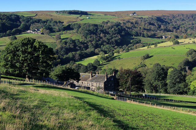
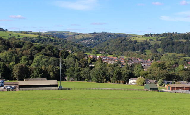
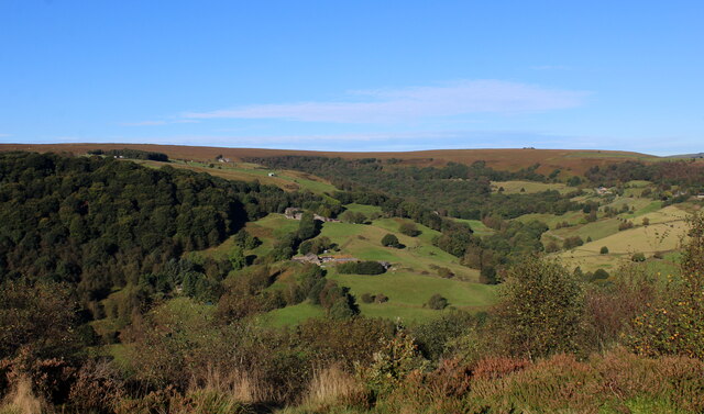
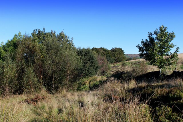
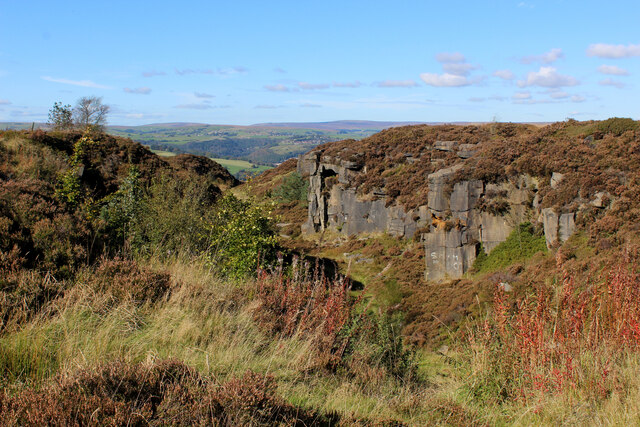
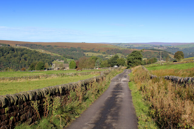
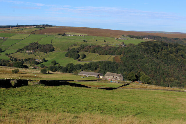
Aaron Hill is renowned for its breathtaking panoramic views of the surrounding countryside, including the lush green valleys and rolling hills of the Yorkshire Dales. It offers a fantastic vantage point for visitors to admire the picturesque landscape, especially on clear days when visibility is high. The hill's summit is relatively flat, providing ample space for visitors to relax, have a picnic, or simply soak in the beauty of the natural surroundings.
The ascent to Aaron Hill can be undertaken from various starting points, with different walking routes available to suit all abilities. Hikers can enjoy a gentle stroll or a more challenging climb, depending on their preferences. The hill is a popular destination for outdoor enthusiasts, including walkers, hikers, and nature lovers, who are drawn to its scenic beauty and tranquility.
The area surrounding Aaron Hill is teeming with wildlife and offers opportunities for birdwatching and observing native flora and fauna. The diverse range of habitats, including moorland and woodland, supports a rich and varied ecosystem.
In conclusion, Aaron Hill is an outstanding natural landmark in Yorkshire, offering breathtaking views, a peaceful atmosphere, and opportunities for outdoor activities. It is a must-visit destination for those seeking to immerse themselves in the beauty of the Yorkshire Dales.
If you have any feedback on the listing, please let us know in the comments section below.
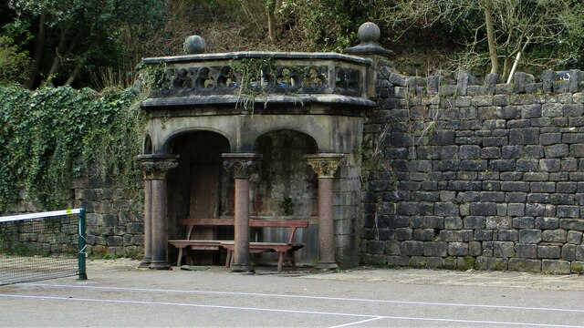
Aaron Hill Images
Images are sourced within 2km of 53.711311/-1.9727219 or Grid Reference SE0123. Thanks to Geograph Open Source API. All images are credited.


Aaron Hill is located at Grid Ref: SE0123 (Lat: 53.711311, Lng: -1.9727219)
Division: West Riding
Unitary Authority: Calderdale
Police Authority: West Yorkshire
What 3 Words
///airbase.sunroof.hobble. Near Luddenden Foot, West Yorkshire
Nearby Locations
Related Wikis

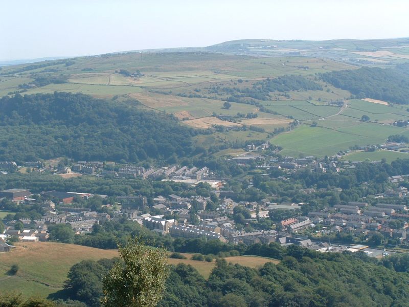
Calderdale
Calderdale is a metropolitan borough of West Yorkshire, England, which had a population of 211,439. It takes its name from the River Calder, and dale,...
Boulderclough
Boulderclough is a small village in the Borough of Calderdale in West Yorkshire, England. The village is situated between Sowerby at the south and Mytholmroyd...

Scout Rock
Scout Rock (known locally as Scout Rocks), is a rock face, once a quarry, cut into a hill called Hathershelf Scout and is on the south side of the Upper...

Cragg Vale
Cragg Vale is a village in Calderdale, West Yorkshire, England, located south of Mytholmroyd on the B6138 road which joins the A58 and the A646. The village...
Luddendenfoot railway station
Luddendenfoot railway station served the village of Luddendenfoot in West Yorkshire, England, from 1840 until 1962. == History == The Manchester and Leeds...

Mytholmroyd railway station
Mytholmroyd railway station serves the communities of Mytholmroyd, Luddendenfoot, Midgley, Cragg Vale, and surrounding areas in West Yorkshire, England...
Mytholmroyd
Mytholmroyd (pronounced ) is a large village and former civil parish, now in the parish of Hebden Royd, in the Calderdale district, in West Yorkshire,...

Upper Calder Valley
The Upper Calder Valley lies in West Yorkshire, in northern England, and covers the towns of Todmorden, Hebden Bridge, Mytholmroyd, Luddendenfoot, and...
Nearby Amenities
Located within 500m of 53.711311,-1.9727219Have you been to Aaron Hill?
Leave your review of Aaron Hill below (or comments, questions and feedback).