Piper's Hill

Hill, Mountain in Dorset

England

Piper's Hill

Big sky over barley A beautiful day on a circular walk around The Horton Inn, Didlington Mill on the River Allen and Chalbury.
Big sky over barley Credit: Ian Andrews

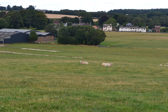
Piper's Hill, located in the county of Dorset, England, is a notable hill that forms part of the stunning landscape of the region. Rising to an elevation of approximately 240 meters (787 feet), it is often referred to as a hill rather than a mountain due to its moderate height. The hill is situated in an area of outstanding natural beauty, surrounded by picturesque countryside and offering panoramic views of the Dorset landscape.

Piper's Hill is known for its unique geological features, characterized by its layers of chalk and limestone that create a distinctively white appearance. This geological composition also contributes to the hill's rich biodiversity, with various plant species thriving in the nutrient-rich soils. The hill is home to a diverse array of wildlife, including birds, insects, and small mammals, making it a popular destination for nature enthusiasts and birdwatchers.

The summit of Piper's Hill provides a fantastic vantage point, offering stunning vistas of the surrounding countryside and nearby valleys. On clear days, visitors can enjoy breathtaking views stretching as far as the English Channel. The hill is a popular destination for hikers and walkers, with several well-marked trails leading to its summit.

Piper's Hill has a rich cultural heritage, with historical sites and ancient landmarks scattered throughout its vicinity. The area is known for its prehistoric remains and archaeological sites, offering glimpses into the region's past. Visitors to the hill can explore these historical sites, immersing themselves in the ancient history and heritage of Dorset.

In summary, Piper's Hill in Dorset is a picturesque and geologically fascinating hill, offering visitors stunning views, diverse wildlife, and a glimpse into the region's rich cultural heritage.

If you have any feedback on the listing, please let us know in the comments section below.
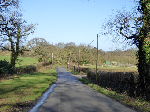
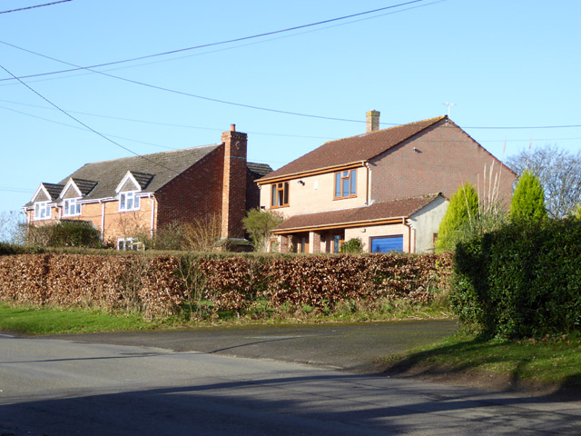
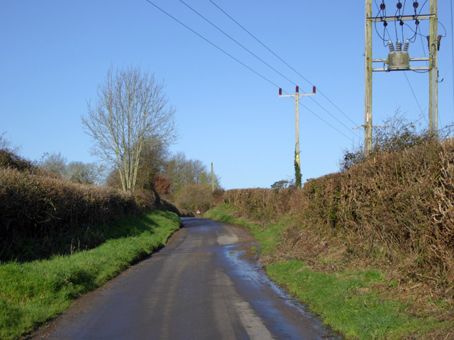
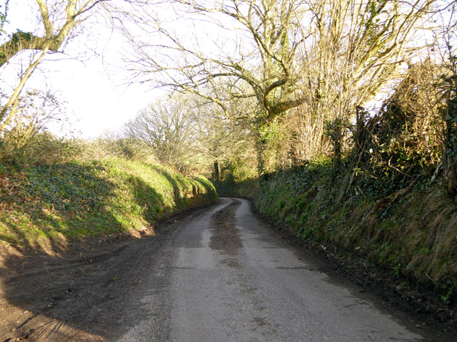
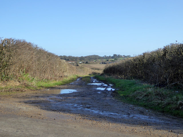
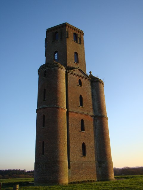
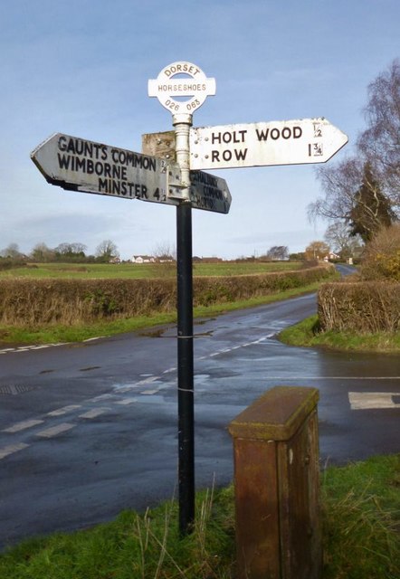
Piper's Hill Images

Images are sourced within 2km of 50.856229/-1.9752995 or Grid Reference SU0106. Thanks to Geograph Open Source API. All images are credited.

Big sky over barley A beautiful day on a circular walk around The Horton Inn, Didlington Mill on the River Allen and Chalbury.
Big sky over barley
A beautiful day on a circular walk around The Horton Inn, Didlington Mill on the River Allen and Chalbury.
Lodge Road Heading towards Gaunt's Common.
Lodge Road
Heading towards Gaunt's Common.
Houses on Petersham Lane, Gaunt's Common The last houses going south.
Houses on Petersham Lane, Gaunt's Common
The last houses going south.
Woodcutts Lane Heading towards Witchampton.
Woodcutts Lane
Heading towards Witchampton.
Woodcutts Lane Heading towards Witchampton.
Woodcutts Lane
Heading towards Witchampton.
Track towards Hinton Martell The Woodcutts Lane end. It is mapped with some sort of public rights.
Track towards Hinton Martell
The Woodcutts Lane end. It is mapped with some sort of public rights.
Hinton Martell, St John the Evangelist
Horton Tower, and surrounding woodland
Old Direction Sign - Signpost in Horton village Annulus and bar finial - 3 arms; Dorset halo with NGR by the UC road, in parish of Horton (East Dorset District), Horton, junction with UC road to Chalbury Common.

Surveyed

Milestone Society National ID: DO_SU0207
Old Direction Sign - Signpost in Horton village
Annulus and bar finial - 3 arms; Dorset halo with NGR by the UC road, in parish of Horton (East Dorset District), Horton, junction with UC road to Chalbury Common. Surveyed Milestone Society National ID: DO_SU0207
Old Direction Sign - Signpost by Hell Corner, Chalbury Common Annulus and bar finial - 3 arms; Dorset halo with NGR by the UC road, in parish of Holt (East Dorset District), Chalbury Common, junction with UC road to Chalbury.

Surveyed

Milestone Society National ID: DO_SU0206B
Old Direction Sign - Signpost by Hell Corner, Chalbury Common
Annulus and bar finial - 3 arms; Dorset halo with NGR by the UC road, in parish of Holt (East Dorset District), Chalbury Common, junction with UC road to Chalbury. Surveyed Milestone Society National ID: DO_SU0206B
Old Direction Sign - Signpost at Horseshoes, Holt parish Annulus and bar finial - 4 arms; Dorset halo with NGR by the UC road, in parish of Holt (East Dorset District), Horseshoes, Uppington, at crossroads UC road to Uppington and Holt.

Surveyed

Milestone Society National ID: DO_SU0206A
Old Direction Sign - Signpost at Horseshoes, Holt parish
Annulus and bar finial - 4 arms; Dorset halo with NGR by the UC road, in parish of Holt (East Dorset District), Horseshoes, Uppington, at crossroads UC road to Uppington and Holt. Surveyed Milestone Society National ID: DO_SU0206A
Old Direction Sign - Signpost by Horton Road, Horton Annulus and bar finial - 4 arms; Dorset halo with NGR by the UC road, in parish of Horton (East Dorset District), T-junction of Horton Road with UC road to Haythorne and Woodlands.

Surveyed

Milestone Society National ID: DO_SU0307
Old Direction Sign - Signpost by Horton Road, Horton
Annulus and bar finial - 4 arms; Dorset halo with NGR by the UC road, in parish of Horton (East Dorset District), T-junction of Horton Road with UC road to Haythorne and Woodlands. Surveyed Milestone Society National ID: DO_SU0307
Road junction at Horton
View across field towards Horton
Church of Wolfrida, Horton
Horton Tower
Horton Tower
Path from Horton Tower
Church of St John the Evangelist, Hinton Martell
Show me another place!

Piper's Hill is located at Grid Ref: SU0106 (Lat: 50.856229, Lng: -1.9752995)

Unitary Authority: Dorset

Police Authority: Dorset

What 3 Words

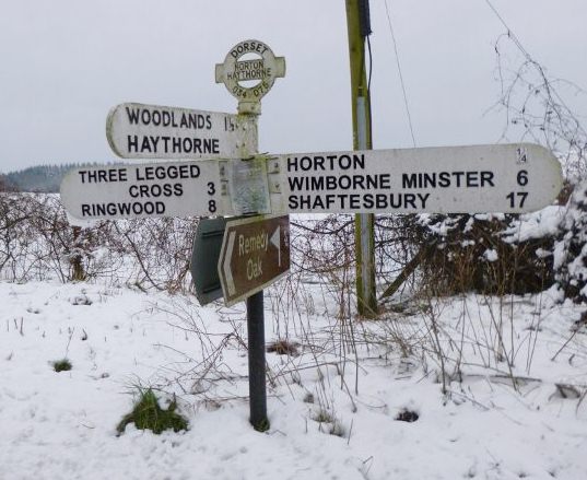
///padding.gearing.brimmed. Near Three Legged Cross, Dorset

Related Wikis

Chalbury

Chalbury is a village in the English county of Dorset. It lies on the southern edge of Cranborne Chase within the East Dorset administrative district of...

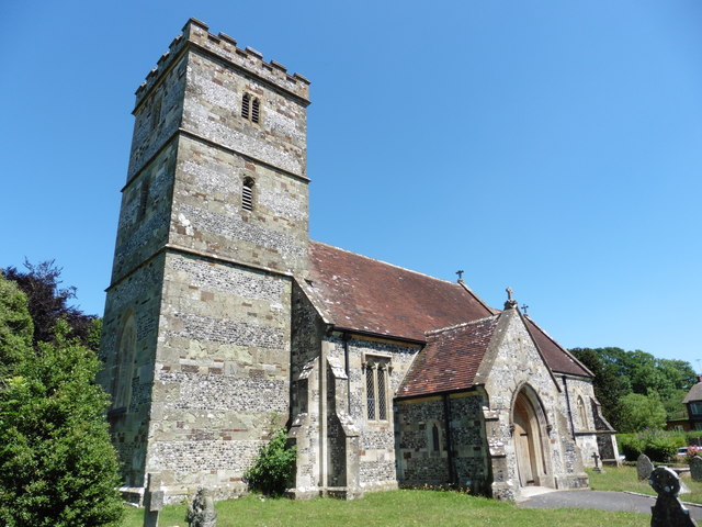
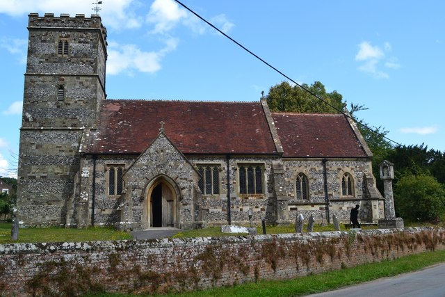
All Saints' Church, Chalbury

All Saints' Church is a Church of England church in Chalbury, Dorset, England. It has 13th-century origins, with later alterations and additions, and many...

Hinton Martell

Hinton Martell (also known as Hinton Martel) is a village and former civil parish, now in the civil parish of Hinton, in the county of Dorset in southern...

Horton Priory

Horton Priory was a priory at Horton in Dorset, England. It was founded as a Benedictine abbey around 970 by Ordgar, Earl of Devon, or his son, Ordulph...

Horton, Dorset

Horton is a village in East Dorset, England, situated on the boundary between the chalk downland of Cranborne Chase and the Dorset Heaths, and ten miles...

Holt, Dorset

Holt is a village in east Dorset, England, 2 miles (3.2 km) north of Wimborne Minster. The village had a population of 1,265 in 2001. The electoral ward...

Hinton Parva

Hinton Parva is a hamlet and former civil parish, now in the civil parish of Hinton, in east Dorset, England, three miles north of Wimborne Minster. The...

Badbury Hundred

Badbury Hundred was a hundred in the county of Dorset, England, which took its name from the earthwork of Badbury Rings. It contained the following parishes...

Nearby Amenities

Located within 500m of 50.856229,-1.9752995
Historic: memorial
Memorial: war_memorial
Lat/Long: 50.8550216/-1.9814794
Material: wood
Power: pole
Source: survey;bing
Transformer: distribution
Voltage Primary: 11000
Voltage Secondary: 460
Voltage Tertiary: 230
Lat/Long: 50.8562671/-1.973687
Location Transition: yes
Material: wood
Power: pole
Source: survey;bing
Lat/Long: 50.8560855/-1.973612
Pipers Field
Lat/Long: 50.8567261/-1.9782414
The Dell
Lat/Long: 50.8567436/-1.978272
Addr Housename: Hickory Wood
Lat/Long: 50.8552976/-1.980873
Grit Bin
Source: survey
Lat/Long: 50.8551479/-1.9809655
Fire Hydrant
Emergency: fire_hydrant
Fire Hydrant Diameter: 4 inch
Fire Hydrant Type: underground
Ref: 2032
Source: survey
Lat/Long: 50.855182/-1.980891
The data included in this document is from www.openstreetmap.org. The data is made available under ODbL.

Have you been to Piper's Hill?

Leave your review of Piper's Hill below (or comments, questions and feedback).