High Stones Hill

Hill, Mountain in Yorkshire

England

High Stones Hill

The Hinchliffe Arms Local watering hole in Cragg Vale, passed by on the Calderdale Way
The Hinchliffe Arms Credit: Chris Heaton

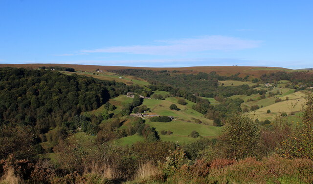
High Stones Hill is a prominent hill located in the county of Yorkshire, England. Standing at an elevation of approximately 1,492 feet (455 meters), it is considered one of the highest points in the region and offers breathtaking panoramic views of the surrounding landscape.

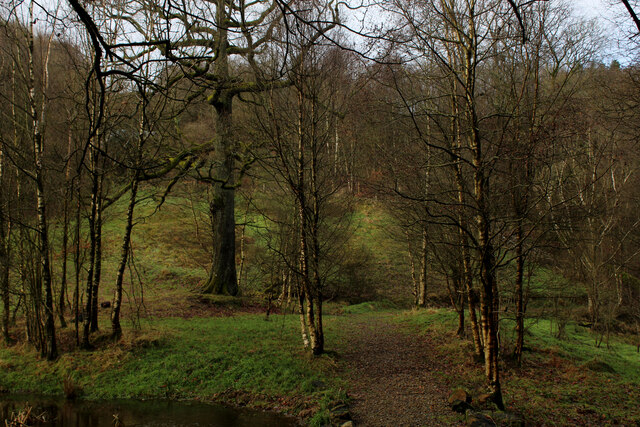
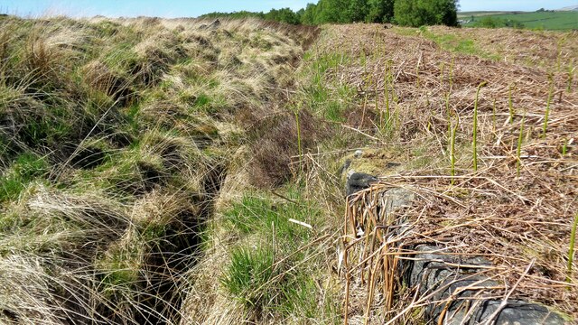
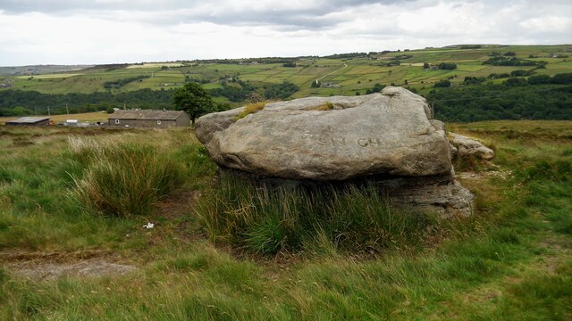
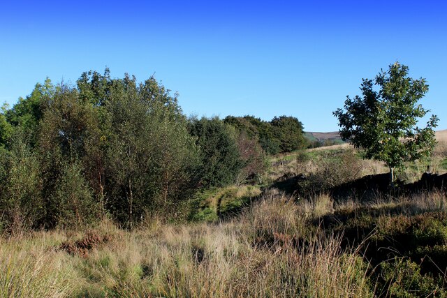
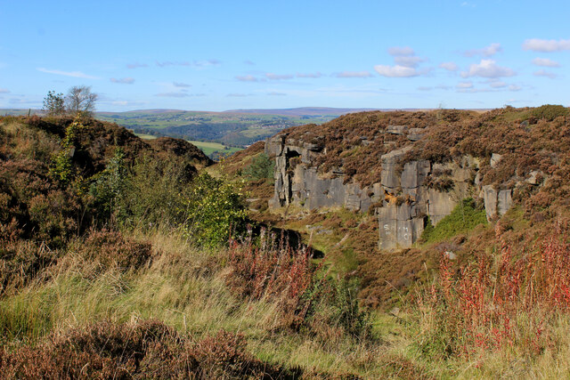
Situated in the Pennines, a range of hills and mountains that runs through northern England, High Stones Hill is known for its rugged and rocky terrain. The hill is formed mainly of Millstone Grit, a coarse sandstone that gives it its distinctive appearance. The summit is marked by a cairn, which serves as a navigational aid for hikers and mountaineers exploring the area.

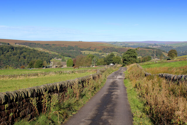
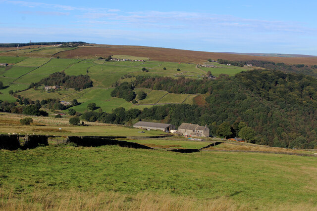
Access to High Stones Hill is relatively easy, with several footpaths leading to the summit from nearby villages and towns. These paths offer stunning views of the Yorkshire Dales National Park, which lies to the west of the hill. On a clear day, it is possible to see as far as the Lake District National Park to the northwest.

The hill is a popular destination for outdoor enthusiasts, attracting hikers, climbers, and nature lovers throughout the year. The surrounding area is rich in wildlife, with various bird species, including peregrine falcons and red grouse, often spotted in the vicinity.

High Stones Hill is not only a natural gem but also holds historical significance. It is believed to have been used as a beacon site during ancient times to communicate important messages across the region. Today, it stands as a testament to the beauty and rich heritage of Yorkshire's countryside.

If you have any feedback on the listing, please let us know in the comments section below.

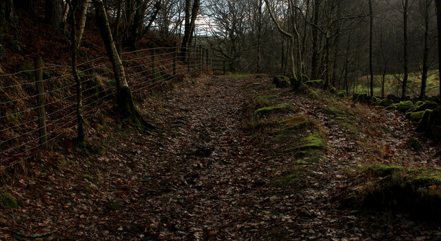
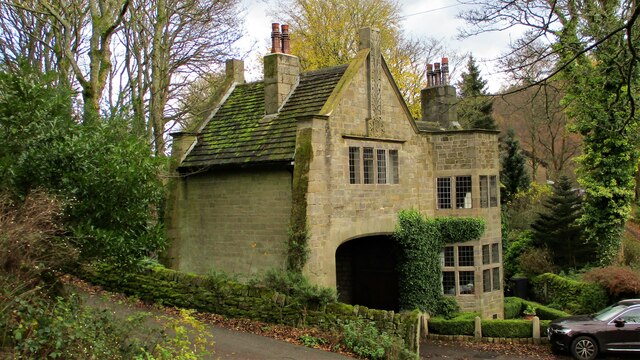
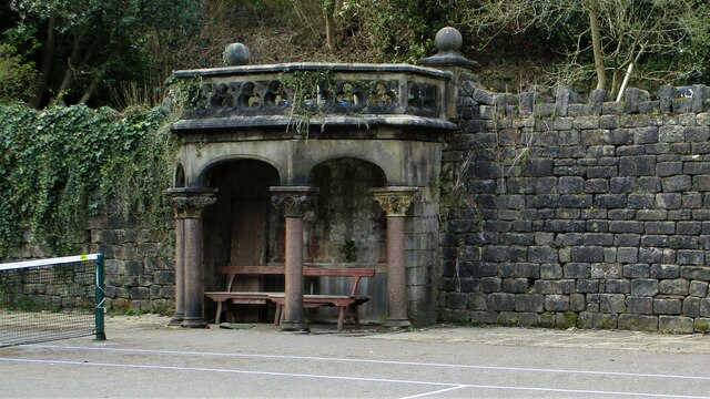
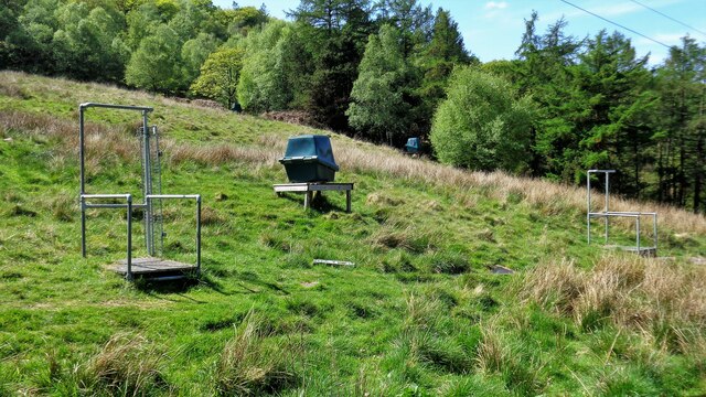
High Stones Hill Images

Images are sourced within 2km of 53.703601/-1.9797251 or Grid Reference SE0123. Thanks to Geograph Open Source API. All images are credited.

The Hinchliffe Arms Local watering hole in Cragg Vale, passed by on the Calderdale Way
The Hinchliffe Arms
Local watering hole in Cragg Vale, passed by on the Calderdale Way
The Lodge, Cragg Vale Former gatehouse for Cragg Hall, and Grade II Listed Building
The Lodge, Cragg Vale
Former gatehouse for Cragg Hall, and Grade II Listed Building
Old Cragg Hall
Old Cragg Hall
Footpath beside Round Hill Wood (1) Heading towards Cragg Vale
Footpath beside Round Hill Wood (1)
Heading towards Cragg Vale
Footpath beside Round Hill Wood (2) Heading away from Cragg Vale
Footpath beside Round Hill Wood (2)
Heading away from Cragg Vale
The Lodge An arts & crafts style gatehouse for the now demolished New Cragg Hall
The Lodge
An arts & crafts style gatehouse for the now demolished New Cragg Hall
Garden Shelter A remnant of Cragg Hall, now in Cragg Vale Tennis Club
Garden Shelter
A remnant of Cragg Hall, now in Cragg Vale Tennis Club
Clay Pigeon Shooting Stands Off the track to Higher House
Clay Pigeon Shooting Stands
Off the track to Higher House
Withins Clough Reservoir Catchwater It is hardly visible on Cove Hill
Withins Clough Reservoir Catchwater
It is hardly visible on Cove Hill
Lumb Stone With High Green beyond
Lumb Stone
With High Green beyond
A View over Cragg Vale Looking west from the top end of Sutcliffe Wood, over the deep trench of Cragg Vale
A View over Cragg Vale
Looking west from the top end of Sutcliffe Wood, over the deep trench of Cragg Vale
Along the Top End of Sutcliffe Wood A faint footpath runs along the top end of these woods
Along the Top End of Sutcliffe Wood
A faint footpath runs along the top end of these woods
Nab End Quarry Abandoned quarry marked as Open Access on the map, but there are signs restricting this - due to public safety concerns.
Nab End Quarry
Abandoned quarry marked as Open Access on the map, but there are signs restricting this - due to public safety concerns.
Stranded Container on Blackwood Common If Earby Haulage Co Ltd of Colne are missing a container - here it is!
It looks if it has been here for some time, aloof and alone on this windswept common.
Stranded Container on Blackwood Common
If Earby Haulage Co Ltd of Colne are missing a container - here it is! It looks if it has been here for some time, aloof and alone on this windswept common.
Weather Hill Lane Gives access to Weather Hill and Wood Top, high above Cragg Vale
Weather Hill Lane
Gives access to Weather Hill and Wood Top, high above Cragg Vale
Olde House Farm Perched above the deep trench of Cragg Vale
Olde House Farm
Perched above the deep trench of Cragg Vale
Calderdale Way descending Westwards into Cragg Vale The long distance footpath adopts High Lane as it makes a long descent into the deep trench of Cragg Vale.
Stoodley Pike can be seen on the skyline.
Calderdale Way descending Westwards into Cragg Vale
The long distance footpath adopts High Lane as it makes a long descent into the deep trench of Cragg Vale. Stoodley Pike can be seen on the skyline.
New Road Moorland road heading further up Cragg Vale
New Road
Moorland road heading further up Cragg Vale
Show me another place!

High Stones Hill is located at Grid Ref: SE0123 (Lat: 53.703601, Lng: -1.9797251)

Division: West Riding

Unitary Authority: Calderdale

Police Authority: West Yorkshire

What 3 Words

///husky.sings.burden. Near Luddenden Foot, West Yorkshire

Related Wikis

Cragg Vale

Cragg Vale is a village in Calderdale, West Yorkshire, England, located south of Mytholmroyd on the B6138 road which joins the A58 and the A646. The village...

Calderdale

Calderdale is a metropolitan borough of West Yorkshire, England, which had a population of 211,439. It takes its name from the River Calder, and dale,...

Boulderclough

Boulderclough is a small village in the Borough of Calderdale in West Yorkshire, England. The village is situated between Sowerby at the south and Mytholmroyd...

Scout Rock

Scout Rock (known locally as Scout Rocks), is a rock face, once a quarry, cut into a hill called Hathershelf Scout and is on the south side of the Upper...

Nearby Amenities

Located within 500m of 53.703601,-1.9797251
Crow Hill
Ele: 383
Man Made: survey_point
Natural: peak
Lat/Long: 53.702422/-1.9724301
The data included in this document is from www.openstreetmap.org. The data is made available under ODbL.

Have you been to High Stones Hill?

Leave your review of High Stones Hill below (or comments, questions and feedback).