Barkham

Settlement in Berkshire

England

Barkham

Roundabout on Reading Road, Arborfield Cross
Roundabout on Reading Road, Arborfield Cross Credit: David Howard

Barkham is a small village located in the county of Berkshire, England. It is situated approximately 4 miles southeast of the town of Wokingham and about 35 miles west of London. The village falls within the administrative district of Wokingham Borough Council.

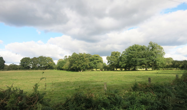
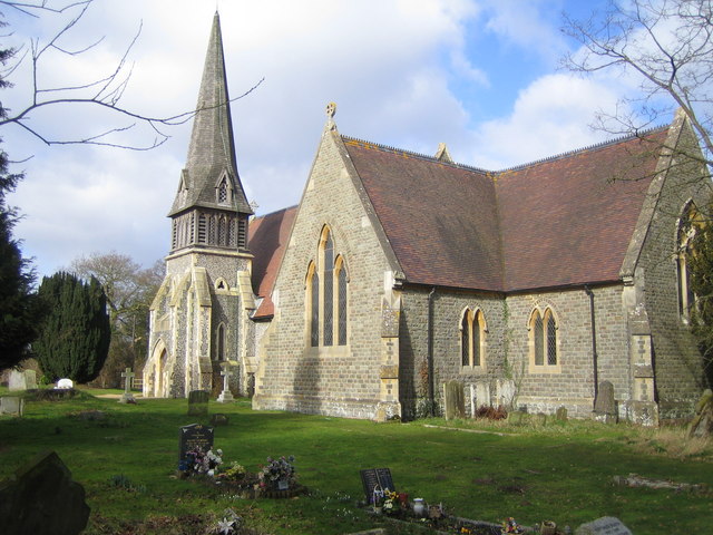
Barkham is known for its picturesque and idyllic setting, with rolling countryside and lush green fields surrounding the area. The village itself is characterized by its charming thatched-roof cottages, historic buildings, and a sense of tranquility that attracts both locals and visitors.

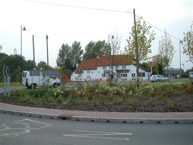
Despite its small size, Barkham offers a range of amenities to its residents. These include a local pub, a primary school, a village hall, and a cricket club, which serves as a focal point for community activities. The nearby town of Wokingham provides additional facilities, such as supermarkets, shops, and restaurants, ensuring that residents have easy access to everyday necessities.

The village enjoys excellent transport links, with the M4 motorway just a short drive away, providing quick access to London and other major cities. The nearby Wokingham train station offers regular services to London Waterloo and Reading, making Barkham an attractive location for commuters.

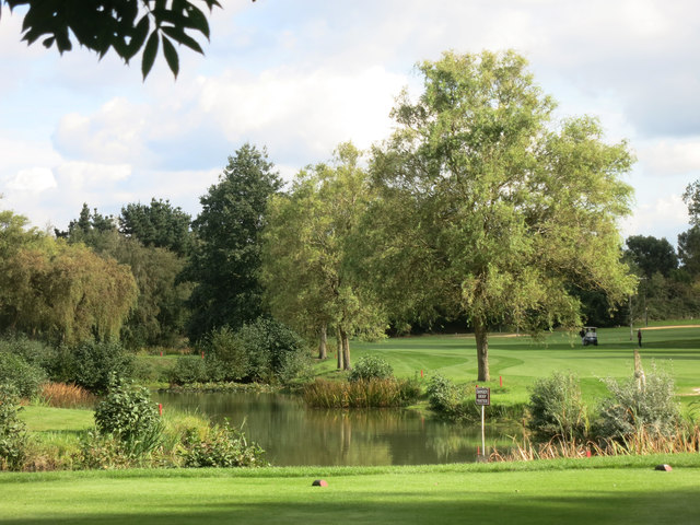
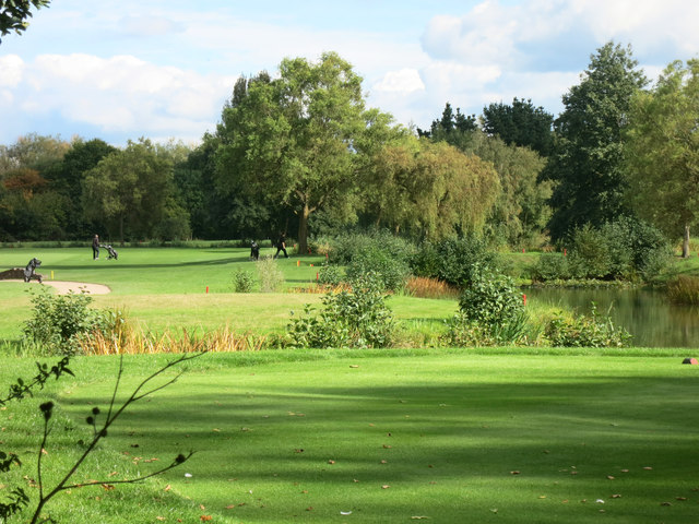
Barkham is surrounded by natural beauty and offers ample opportunities for outdoor activities. The area is crisscrossed by footpaths and bridleways, making it popular among walkers, cyclists, and horse riders. The nearby Barkham Common is a designated Site of Special Scientific Interest, home to a diverse range of wildlife and plant species.

Overall, Barkham offers a peaceful, rural lifestyle while still providing convenient access to nearby towns and cities, making it a desirable place to live for both nature lovers and commuters alike.

If you have any feedback on the listing, please let us know in the comments section below.

Barkham Images

Images are sourced within 2km of 51.396111/-0.880651 or Grid Reference SU7766. Thanks to Geograph Open Source API. All images are credited.

Roundabout on Reading Road, Arborfield Cross
Arborfield Stores Londis stands for London Independent Supermarkets in case anyone wanted to know
Arborfield Stores
Londis stands for London Independent Supermarkets in case anyone wanted to know
Reading Road, Arborfield Cross
Barkham Road at the junction of Barkham Street Looking towards The Bull at Barkham pub
Barkham Road at the junction of Barkham Street
Looking towards The Bull at Barkham pub
School Road at the junction of Langley Common Road
Lake on the Golf Course The map shows a number of small ponds in this area. This looks to be the largest.
Lake on the Golf Course
The map shows a number of small ponds in this area. This looks to be the largest.
Sand Martins Golf Course
Fields at Randall's Farm
Clearing by the Footpath A plot of empty land probably waiting for the builders to turn up, like so many plots of land round here.
Clearing by the Footpath
A plot of empty land probably waiting for the builders to turn up, like so many plots of land round here.
Building Site, Folly Court New housing going up off Barkham Road.
Building Site, Folly Court
New housing going up off Barkham Road.
Mole Road to Sindlesham
Benchmark on St James's Church Ordnance Survey cut mark benchmark described on the Bench Mark Database at <span class="nowrap"><a title="http://www.bench-marks.org.uk/bm27568" rel="nofollow ugc noopener" href="http://www.bench-marks.org.uk/bm27568">Link</a><img style="margin-left:2px;" alt="External link" title="External link - shift click to open in new window" src="https://s1.geograph.org.uk/img/external.png" width="10" height="10"/></span>
Benchmark on St James's Church
Ordnance Survey cut mark benchmark described on the Bench Mark Database at LinkExternal link
St James's Church There is an OS benchmark <a href="https://www.geograph.org.uk/photo/5192199">SU7866 : Benchmark on St James's Church</a> on the inside face of the buttress on the near right hand corner of the church.
St James's Church
There is an OS benchmark SU7866 : Benchmark on St James's Church on the inside face of the buttress on the near right hand corner of the church.
The Bull public house There is an OS benchmark <a href="https://www.geograph.org.uk/photo/4398586">SU7766 : Benchmark on The Bull</a> on the road face of the building at its far corner
The Bull public house
There is an OS benchmark SU7766 : Benchmark on The Bull on the road face of the building at its far corner
Barkham Square buildings hidden behind bushes
Barkham Rectory
Barkham Rectory
Show me another place!

Barkham is located at Grid Ref: SU7766 (Lat: 51.396111, Lng: -0.880651)

Unitary Authority: Wokingham

Police Authority: Thames Valley

What 3 Words

///hockey.voted.commuting. Near Barkham, Berkshire

Related Wikis

Barkham

Barkham is a village and civil parish in the borough of Wokingham in Berkshire, England, located around 2 miles (3.2 km) southwest of the town of Wokingham...

Bearwood Lakes Golf Club

Bearwood Lakes Golf Club is a golf club, located in Sindlesham, Berkshire, England. It was established in 1996. In 2019, a new purpose-built all-weather...
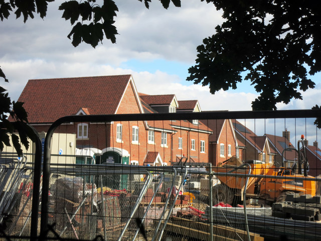
Arborfield Cross

Arborfield Cross is a village in the civil parish of Arborfield and Newland in the Borough of Wokingham in the English county of Berkshire. == Location... ==

Arborfield Green

Arborfield Green is a new village approximately 1 mile (1.6 km) south east of the village of Arborfield Cross in the English county of Berkshire, previously...

Nearby Amenities

Located within 500m of 51.396111,-0.880651
Mini Roundabout
Direction: clockwise
Lat/Long: 51.3982119/-0.8753799
Mini Roundabout
Direction: clockwise
Lat/Long: 51.3961714/-0.8805769
Bus Stop
Lat/Long: 51.3966286/-0.8792877
Bus Stop
Lat/Long: 51.3956995/-0.8799931
Ford: yes
Lat/Long: 51.3932755/-0.8838381
Mountain Trax
Addr Housenumber: 1
Addr Postcode: RG40 4PJ
Addr Street: Barkham Grange
Shop: bicycle
Lat/Long: 51.39336/-0.8786345
Crossing
Crossing: unmarked
Kerb: lowered
Lat/Long: 51.3983902/-0.8754781
Post Box
Operator: Royal Mail
Post Box Type: lamp
Ref: RG41 51D
Royal Cypher: EIIR
Royal Cypher Wikidata: Q33102113
Lat/Long: 51.3960704/-0.8810373
Barrier: bollard
Lat/Long: 51.3961599/-0.8849773
Direction: 155
Generator Method: photovoltaic
Generator Output Electricity: yes
Generator Solar Modules: 42
Generator Source: solar
Generator Type: solar_photovoltaic_panel
Location: roof
Power: generator
Lat/Long: 51.3993152/-0.8809212
Direction: 155
Generator Method: photovoltaic
Generator Output Electricity: yes
Generator Solar Modules: 42
Generator Source: solar
Generator Type: solar_photovoltaic_panel
Location: roof
Power: generator
Lat/Long: 51.3995721/-0.8811049
Direction: 160
Generator Method: photovoltaic
Generator Output Electricity: yes
Generator Solar Modules: 10
Generator Source: solar
Generator Type: solar_photovoltaic_panel
Location: roof
Power: generator
Lat/Long: 51.3989786/-0.8753962
Barrier: bollard
Lat/Long: 51.3961087/-0.8850691
Crossing
Crossing: uncontrolled
Crossing Island: yes
Kerb: lowered
Tactile Paving: yes
Lat/Long: 51.3983524/-0.8748802
The data included in this document is from www.openstreetmap.org. The data is made available under ODbL.

Have you been to Barkham?

Leave your review of Barkham below (or comments, questions and feedback).