Barkham
Civil Parish in Berkshire
England
Barkham

Barkham is a civil parish located in the county of Berkshire, England. Situated approximately 4 miles southeast of the town of Wokingham, Barkham covers an area of around 5.5 square miles. The parish is bordered by the A327 road to the east, the A321 road to the south, and the B3030 road to the west.
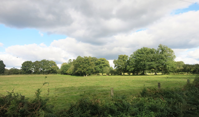
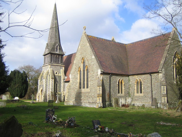
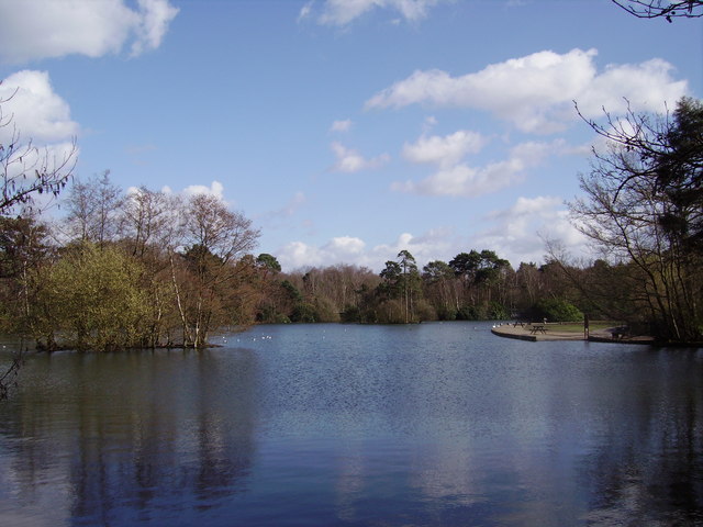
The village of Barkham itself is small, with a population of around 500 residents. It is primarily a rural area characterized by picturesque countryside and farmland. The parish is known for its charming cottages and traditional architecture, which add to its rural appeal.
Barkham is surrounded by several other villages, including Arborfield, Finchampstead, and Winnersh. The area offers a peaceful and tranquil environment, making it a desirable place to live for those seeking a quieter lifestyle.
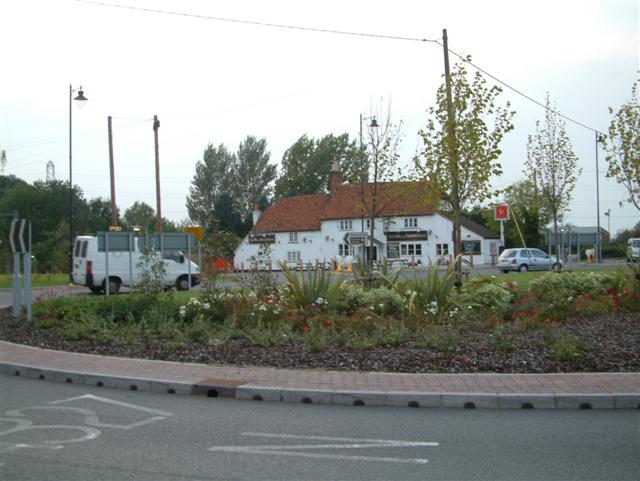
Despite its rural setting, Barkham is conveniently located close to amenities and facilities. The town of Wokingham is just a short drive away, offering a range of shops, supermarkets, restaurants, and leisure activities. This proximity to urban conveniences combined with its rural charm makes Barkham an attractive place to reside.
The parish is also well-connected in terms of transportation. The nearby A327 provides easy access to the major road networks, including the M3 and M4 motorways. Additionally, the area is served by several bus routes, enabling residents to travel to surrounding towns and villages.
Overall, Barkham is a tranquil and picturesque civil parish in Berkshire, offering a rural lifestyle with easy access to nearby urban amenities.
If you have any feedback on the listing, please let us know in the comments section below.
Barkham Images
Images are sourced within 2km of 51.393402/-0.881306 or Grid Reference SU7766. Thanks to Geograph Open Source API. All images are credited.


Barkham is located at Grid Ref: SU7766 (Lat: 51.393402, Lng: -0.881306)
Unitary Authority: Wokingham
Police Authority: Thames Valley
What 3 Words
///decide.conductor.rhino. Near Barkham, Berkshire
Nearby Locations
Related Wikis
Barkham
Barkham is a village and civil parish in the borough of Wokingham in Berkshire, England, located around 2 miles (3.2 km) southwest of the town of Wokingham...

Arborfield Green
Arborfield Green is a new village approximately 1 mile (1.6 km) south east of the village of Arborfield Cross in the English county of Berkshire, previously...

Longmoor Bog
Longmoor Bog is a 14-hectare (35-acre) biological Site of Special Scientific Interest north of Finchampstead in Berkshire. An area of 11.8 hectares (29...
California Country Park
California Country Park is a 100-acre (40 ha) country park covering Long Moor at California in the north of the civil parish of Finchampstead in the English...
Arborfield Cross
Arborfield Cross is a village in the civil parish of Arborfield and Newland in the Borough of Wokingham in the English county of Berkshire. == Location... ==

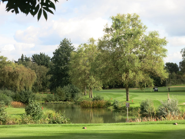
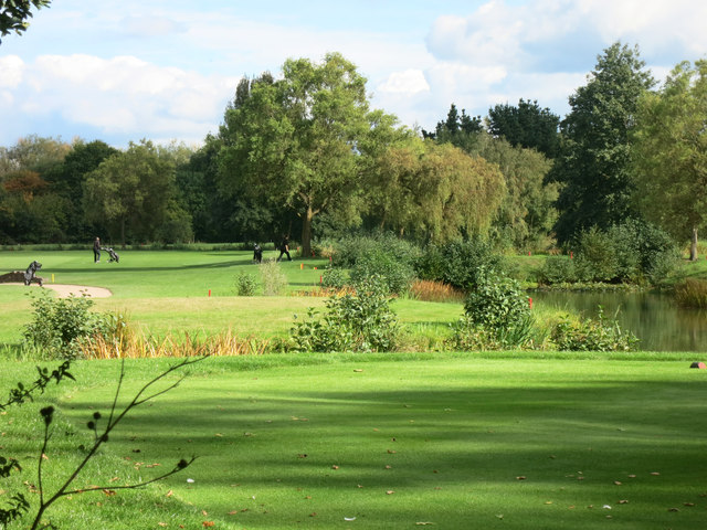
Bearwood Lakes Golf Club
Bearwood Lakes Golf Club is a golf club, located in Sindlesham, Berkshire, England. It was established in 1996. In 2019, a new purpose-built all-weather...
California, Berkshire
California is a village in the north of the civil parish of Finchampstead in the English county of Berkshire. It is situated approximately 1.9 mi (3.1...

Shepperlands Farm
Shepperlands Farm is a 10-hectare (25-acre) nature reserve north-west of Finchampstead in Berkshire. It is managed by the Berkshire, Buckinghamshire and...
Nearby Amenities
Located within 500m of 51.393402,-0.881306Have you been to Barkham?
Leave your review of Barkham below (or comments, questions and feedback).