Butter Haw Hill

Hill, Mountain in Yorkshire Craven

England

Butter Haw Hill

Old stone bridge over Linton Beck
Old stone bridge over Linton Beck Credit: David Martin

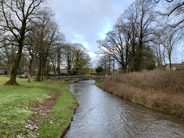
Butter Haw Hill is a prominent hill located in the county of Yorkshire, England. It is situated in the North York Moors National Park, near the village of Osmotherley. Rising to an elevation of approximately 312 meters (1,024 feet), Butter Haw Hill is known for its breathtaking views and scenic beauty.

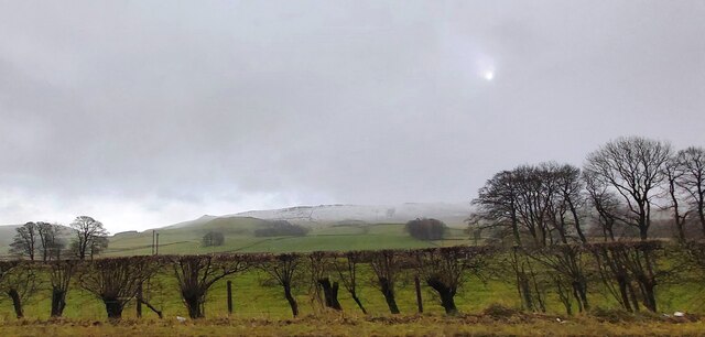
The hill is predominantly covered in heather and is a favorite destination for hikers and nature enthusiasts. The trail leading up to the summit offers stunning panoramic views of the surrounding countryside, including the expansive moorlands, lush green valleys, and charming villages nestled in the distance.

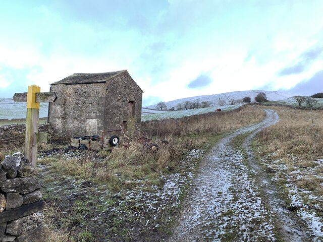
Apart from its natural beauty, Butter Haw Hill also holds historical significance. It was once used as a landmark by travelers and shepherds. The hill served as a guide for people navigating through the moors and provided a vantage point for monitoring the movement of livestock.

The area surrounding Butter Haw Hill is home to a diverse range of flora and fauna. Visitors can spot various species of birds, including curlews, lapwings, and skylarks, as well as other wildlife such as hares and deer.

Butter Haw Hill offers a tranquil escape from the hustle and bustle of everyday life. Its serene atmosphere, coupled with its stunning vistas, makes it a popular destination for those seeking solace in nature. Whether it's a leisurely walk or a challenging hike, Butter Haw Hill provides an unforgettable experience for all who venture to its summit.

If you have any feedback on the listing, please let us know in the comments section below.

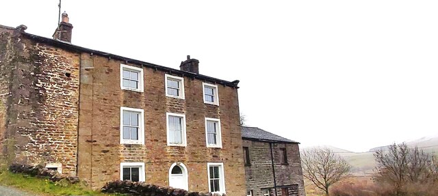
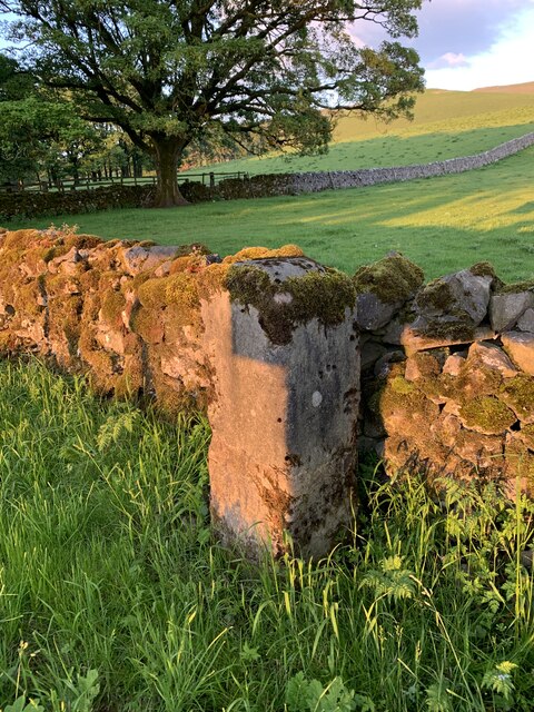
Butter Haw Hill Images

Images are sourced within 2km of 54.044376/-2.0071114 or Grid Reference SD9960. Thanks to Geograph Open Source API. All images are credited.

Old stone bridge over Linton Beck
The Fountaine Inn, Linton
Houses above Linton Beck In the distance, White Abbey, Grade II listed, listing number 1316811.
Houses above Linton Beck
In the distance, White Abbey, Grade II listed, listing number 1316811.
Fountaine's Hospital, Linton Grade II* listed. Listing number 1132124. Chapel and almshouses. 1721 by Richard Fountaine, extended to the rear in the late 19th century.
Fountaine's Hospital, Linton
Grade II* listed. Listing number 1132124. Chapel and almshouses. 1721 by Richard Fountaine, extended to the rear in the late 19th century.
Bridge over the ford at Linton Grade II listed. Listing number 1132118 Pedestrian bridge. Late C17 - early C18 with later repairs. Gritstone rubble with larger blocks to parapets. A single shallow arch with small flood arch to east, both with voussoirs set back and a slightly-projecting drip-course. 3 or 4 courses of stone to parapet which has rounded copings. A pedestrian or packhorse bridge aligned to carry a route towards Burnsall, along the south bank of the Wharfe, and replaced by a late C19 bridge carrying north-bound traffic towards the river crossing at Grassington.
Bridge over the ford at Linton
Grade II listed. Listing number 1132118 Pedestrian bridge. Late C17 - early C18 with later repairs. Gritstone rubble with larger blocks to parapets. A single shallow arch with small flood arch to east, both with voussoirs set back and a slightly-projecting drip-course. 3 or 4 courses of stone to parapet which has rounded copings. A pedestrian or packhorse bridge aligned to carry a route towards Burnsall, along the south bank of the Wharfe, and replaced by a late C19 bridge carrying north-bound traffic towards the river crossing at Grassington.
Track from Ings Farm Near Linton.
Track from Ings Farm
Near Linton.
Swinden Quarry [1] The quarry sign.
The quarry is 2 miles south of Grassington and supplies limestone. The quarry is served by the former Skipton to Grassington railway, which now terminates here.
Swinden Quarry [1]
The quarry sign. The quarry is 2 miles south of Grassington and supplies limestone. The quarry is served by the former Skipton to Grassington railway, which now terminates here.
Swinden Quarry [2] The roadway into the quarry.
The quarry is 2 miles south of Grassington and supplies limestone. The quarry is served by the former Skipton to Grassington railway, which now terminates here.
Swinden Quarry [2]
The roadway into the quarry. The quarry is 2 miles south of Grassington and supplies limestone. The quarry is served by the former Skipton to Grassington railway, which now terminates here.
Swinden Quarry [3] Railway wagons at the end of  the line.
The quarry is 2 miles south of Grassington and supplies limestone. The quarry is served by the former Skipton to Grassington railway, which now terminates here.
Swinden Quarry [3]
Railway wagons at the end of the line. The quarry is 2 miles south of Grassington and supplies limestone. The quarry is served by the former Skipton to Grassington railway, which now terminates here.
Swinden Quarry [4] This fine view of Elbolton Hill is seen by those departing the quarry.
The quarry is 2 miles south of Grassington and supplies limestone. The quarry is served by the former Skipton to Grassington railway, which now terminates here.
Swinden Quarry [4]
This fine view of Elbolton Hill is seen by those departing the quarry. The quarry is 2 miles south of Grassington and supplies limestone. The quarry is served by the former Skipton to Grassington railway, which now terminates here.
Fields at Cracoe Green
Cottage off Tarns Lane
House at Catch-all Farm
Fountaine Hospital Almshouses facing the village green
Fountaine Hospital
Almshouses facing the village green
Redmayne Packhorse Bridge On Linton Beck with a ford by its side
Redmayne Packhorse Bridge
On Linton Beck with a ford by its side
Old Milestone by B6265, North of Cracoe at Junction with Thorpe Lane The milestone is located on the verge behind the chevron sign on the south east side of the road.  Parish of Cracoe (Craven District). Carved stone post, erected in the 18th Century. Broken across 50cm from base, now cemented together; was to north of lane, demolished, repaired twice, so resited on south east side. An earlier photograph can be found here: <a title="https://www.geograph.org.uk/photo/6738011" href="https://www.geograph.org.uk/photo/6738011">Link</a> 

Inscription reads:-  
To / Grassingt(on) / (3) / K(ettle)well / To / Skipton / 6 miles 

Milestone Society National ID: YN_SKKT06
Old Milestone by B6265, North of Cracoe at Junction with Thorpe Lane
The milestone is located on the verge behind the chevron sign on the south east side of the road.  Parish of Cracoe (Craven District). Carved stone post, erected in the 18th Century. Broken across 50cm from base, now cemented together; was to north of lane, demolished, repaired twice, so resited on south east side. An earlier photograph can be found here: Link  Inscription reads:- To / Grassingt(on) / (3) / K(ettle)well / To / Skipton / 6 miles Milestone Society National ID: YN_SKKT06
Field on south side of B6265 The sunlit field is at the eastern end of Cracoe just as the B6265 enters.
The slope beginning at the field rises continually to the shadowed upper slopes and summit of Cracoe Fell which is topped by an obelisk, the village war memorial.
Field on south side of B6265
The sunlit field is at the eastern end of Cracoe just as the B6265 enters. The slope beginning at the field rises continually to the shadowed upper slopes and summit of Cracoe Fell which is topped by an obelisk, the village war memorial.
Access road for Langerton Farm The farm road leaves Thorpe Lane, a minor road connecting the villages at Thorpe and Cracoe.
Access road for Langerton Farm
The farm road leaves Thorpe Lane, a minor road connecting the villages at Thorpe and Cracoe.
Show me another place!

Butter Haw Hill is located at Grid Ref: SD9960 (Lat: 54.044376, Lng: -2.0071114)

Division: West Riding

Administrative County: North Yorkshire

District: Craven

Police Authority: North Yorkshire

What 3 Words

///fidelity.gent.sends. Near Grassington, North Yorkshire

Related Wikis

Swinden Quarry

Swinden Quarry is 0.62 miles (1 km) north of the village of Cracoe, and 1.9 miles (3 km) south-west of Grassington in North Yorkshire, England. It is owned...

Thorpe Fell Top

Thorpe Fell Top is the top of the hill of Burnsall and Thorpe Fell in the Yorkshire Dales, itself forming part of a larger wedge of ground between Wharfedale...

Linton, North Yorkshire

Linton is a village and civil parish in the Craven district of North Yorkshire, England. The population as of the 2011 census was 176. It lies not far...

Thorpe, North Yorkshire

Thorpe is a village and civil parish in the Craven district of North Yorkshire, England. It is 2 miles (3 km) south of Grassington and 6 miles (10 km)...

Nearby Amenities

Located within 500m of 54.044376,-2.0071114
Butter Haw Hill
Natural: peak
Source: NPE;OS 1:25k
Source Name: OS 1:25k
Lat/Long: 54.0443926/-2.0071735
Carden Hill
Natural: peak
Source: OS 1:25k
Lat/Long: 54.0407449/-2.0100066
Langerton Hill
Natural: peak
Source: OS 1:25k
Lat/Long: 54.0458476/-2.0106074
Archaeological Site: mineral_extraction
Historic: mine_shaft
Mineral: lead
Source: OS 134,1853;EsriWorldImageryClarity
Source Mineral: OS 134,1853
Lat/Long: 54.0471632/-2.0084461
Langerton Hill Mines
Archaeological Site: mineral_extraction
Historic: mine
Mineral: lead
Source: OS 134,1853;EsriWorldImageryClarity
Source Mineral: OS 134,1853
Source Name: OS 134,1853
Lat/Long: 54.0473994/-2.0092293
Archaeological Site: mineral_extraction
Historic: mine_shaft
Note: not verified
Source: EsriWorldImageryClarity
Lat/Long: 54.0424795/-2.0020469
Archaeological Site: mineral_extraction
Historic: mine_shaft
Note: not verified
Source: EsriWorldImageryClarity
Lat/Long: 54.0425362/-2.0016392
Archaeological Site: mineral_extraction
Historic: mine_shaft
Note: not verified
Source: EsriWorldImageryClarity
Lat/Long: 54.0427284/-2.0010732
Archaeological Site: mineral_extraction
Historic: mine_shaft
Note: not verified
Source: EsriWorldImageryClarity
Lat/Long: 54.0426307/-2.0015909
Natural: spring
Source: OS 134,1853
Lat/Long: 54.0478958/-2.0082514
Natural: spring
Source: OS 134,1853
Lat/Long: 54.047278/-2.0036211
Archaeological Site: mineral_extraction
Historic: mine_shaft
Note: not verified
Source: EsriWorldImageryClarity
Lat/Long: 54.0425362/-2.0017948
Archaeological Site: mineral_extraction
Historic: mine_shaft
Note: not verified
Source: EsriWorldImageryClarity
Lat/Long: 54.0426748/-2.0018994
lime kiln
Archaeological Site: lime_kiln
Historic: archaeological_site
Mineral: limestone
Output: lime
Source: OS 134,1853
Lat/Long: 54.0430432/-2.0081025
Natural: sinkhole
Source: EsriWorldImageryClarity
Lat/Long: 54.0401198/-2.0074994
Natural: sinkhole
Source: EsriWorldImageryClarity
Lat/Long: 54.0404726/-2.007832
Ford: yes
Lat/Long: 54.0479837/-2.0083694
The data included in this document is from www.openstreetmap.org. The data is made available under ODbL.

Have you been to Butter Haw Hill?

Leave your review of Butter Haw Hill below (or comments, questions and feedback).