Broomy Hill
Hill, Mountain in Northumberland
England
Broomy Hill
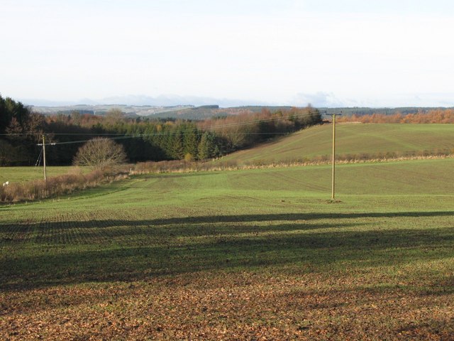
Broomy Hill is a prominent hill located in the county of Northumberland, England. It is situated within the Northumberland National Park, in the northern part of the county. Rising to an elevation of approximately 496 meters (1,627 feet), Broomy Hill offers breathtaking panoramic views of the surrounding landscape.
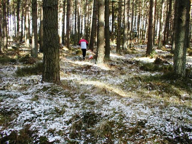
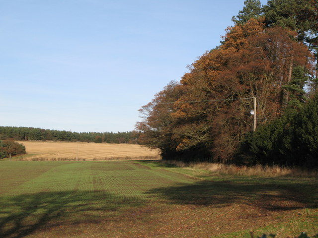
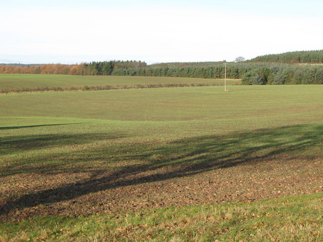
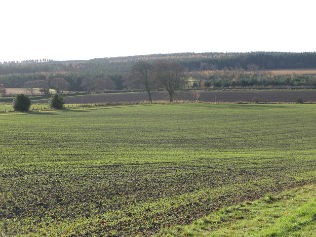
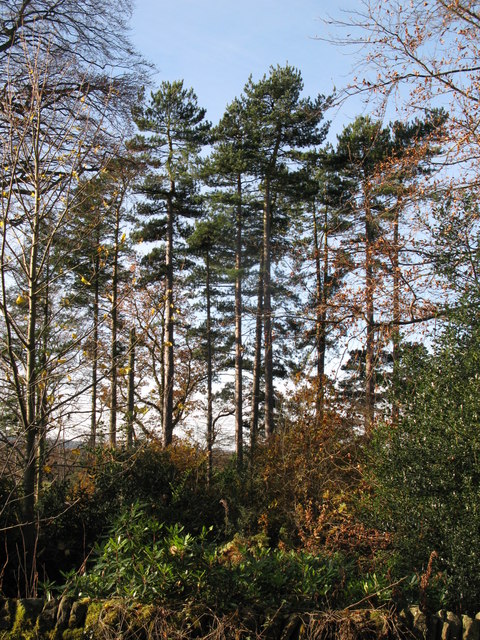
The hill is characterized by its gently sloping grassy slopes, which are covered in heather and bracken, typical of the Northumberland moorland. Broomy Hill is part of the Cheviot Hills range, known for its rugged beauty and unspoiled wilderness. Its location within the national park ensures that the hill remains relatively untouched by human development, providing a haven for local wildlife.
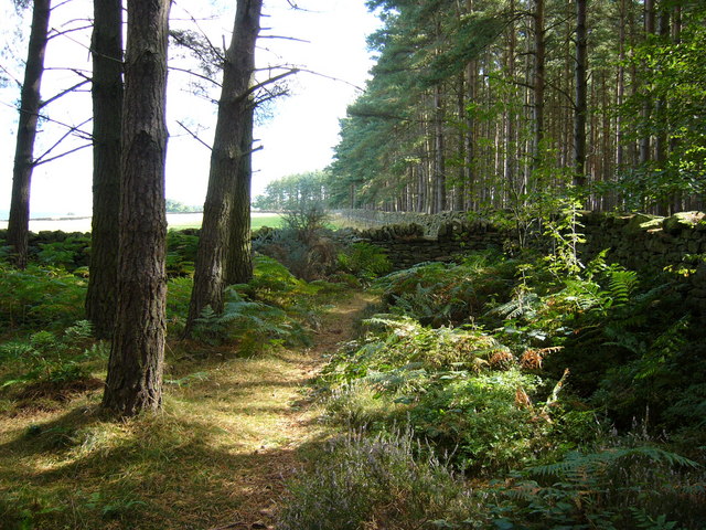
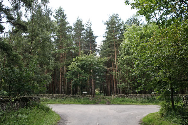
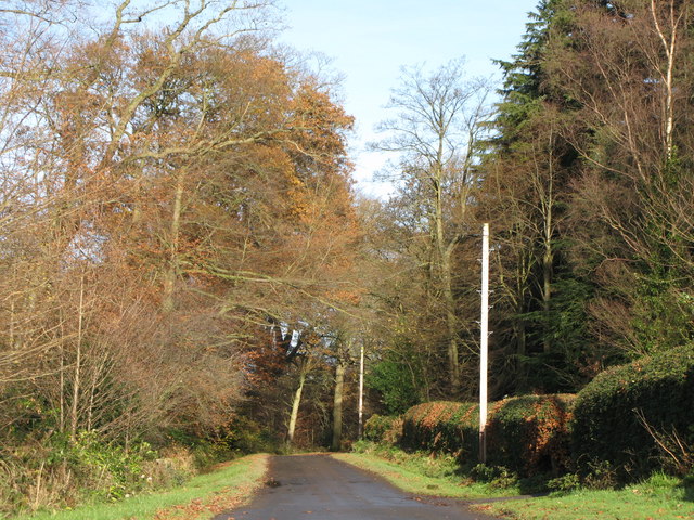
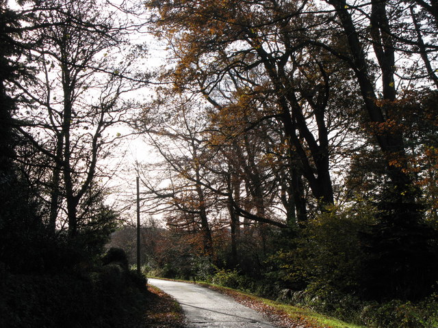
Hikers and outdoor enthusiasts are drawn to Broomy Hill due to its accessibility and the variety of walking routes available. A popular trail begins from the nearby village of Alwinton, leading visitors through picturesque woodlands and across open moorland before reaching the summit of Broomy Hill. The path offers stunning views of the surrounding Cheviot Hills and the vast expanse of Northumberland National Park.
Broomy Hill also holds historical significance, with remnants of ancient settlements and burial mounds discovered in the area. These archaeological findings provide evidence of human habitation in the region dating back thousands of years.
In conclusion, Broomy Hill in Northumberland is a captivating natural landmark that showcases the unspoiled beauty of the Cheviot Hills. Its scenic trails, diverse flora, and historical significance make it a popular destination for nature lovers and history enthusiasts alike.
If you have any feedback on the listing, please let us know in the comments section below.
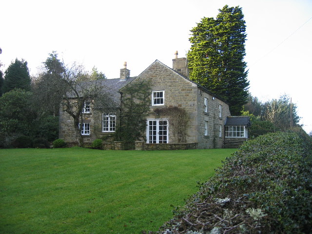
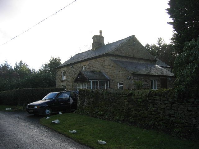
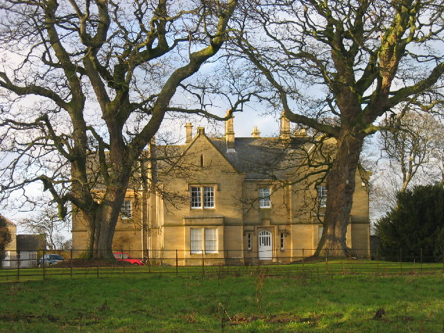
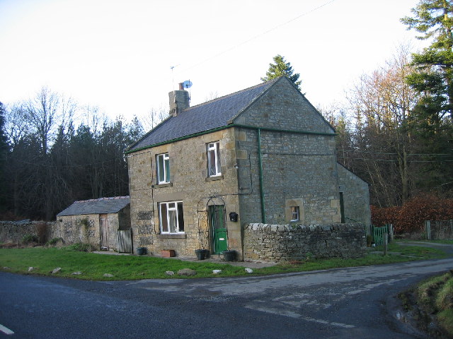
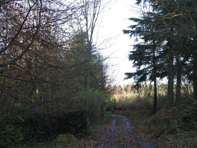
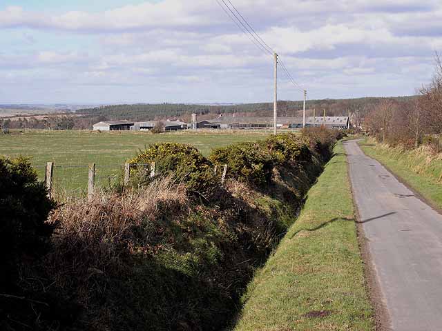
Broomy Hill Images
Images are sourced within 2km of 54.919451/-2.0118572 or Grid Reference NY9958. Thanks to Geograph Open Source API. All images are credited.
Broomy Hill is located at Grid Ref: NY9958 (Lat: 54.919451, Lng: -2.0118572)
Unitary Authority: Northumberland
Police Authority: Northumbria
What 3 Words
///silly.took.summit. Near Slaley, Northumberland
Nearby Locations
Related Wikis

Slaley, Northumberland
Slaley is a village in Northumberland, England. It is situated to the southeast of Hexham. It is surrounded by the following villages: Ruffside, Whitley...

Healey, Northumberland
Healey is a rural estate and civil parish in Northumberland, England, situated between Riding Mill to the north and Slaley to the south. The neo-Norman...

Slaley Hall
Slaley Hall is a country house golf resort in Northumberland in North East England, built by local developers Seamus O'Carroll and John Rourke which hosted...

Colpitts Grange
Colpitts Grange is a hamlet in Northumberland, England. It is about 7 miles (11 km) to the south-east of Hexham. == Governance == Colpitts Grange is in...
Have you been to Broomy Hill?
Leave your review of Broomy Hill below (or comments, questions and feedback).