Totherley Hill

Hill, Mountain in Northumberland

England

Totherley Hill

Forester's Cottage
Forester's Cottage Credit: Les Hull

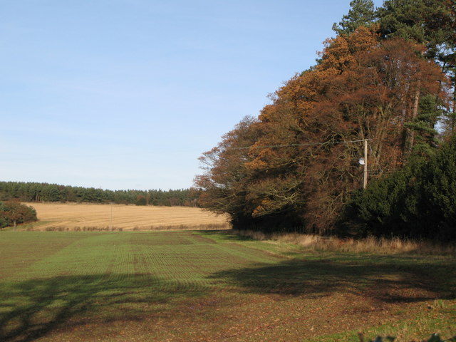
Totherley Hill is a prominent hill located in the county of Northumberland, in the northern region of England. Situated in the beautiful landscape of the North Pennines, it forms part of the Pennine range and stands at an impressive height of approximately 380 meters (1,250 feet) above sea level. The hill is nestled within a designated Area of Outstanding Natural Beauty, offering breathtaking views of the surrounding countryside.

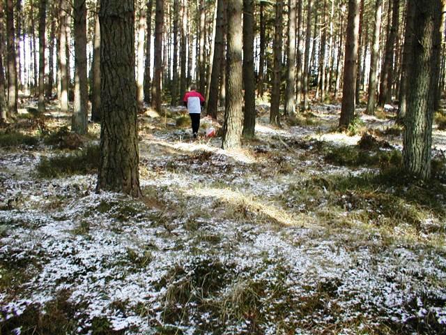
Totherley Hill is primarily composed of rugged moorland terrain, characterized by its heather-covered slopes and rocky outcrops. The hill is known for its diverse flora and fauna, providing a habitat for various bird species, including curlews, lapwings, and meadow pipits. Visitors may catch a glimpse of these fascinating creatures as they explore the hill's extensive network of footpaths and trails.

This natural landmark offers an excellent opportunity for outdoor enthusiasts to engage in activities such as hiking, walking, and birdwatching. The hill's summit rewards climbers with panoramic vistas of the surrounding Northumberland countryside, with sights stretching as far as the Cheviot Hills and the Scottish Borders.

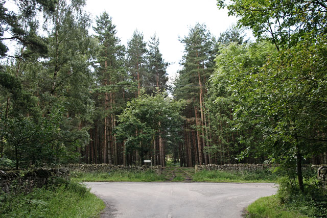
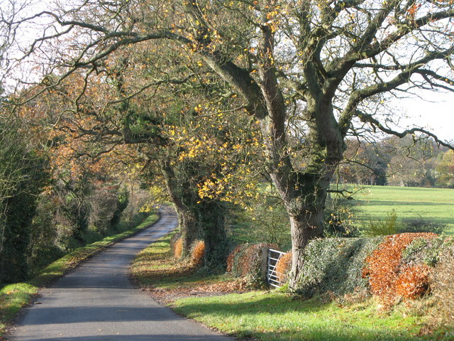
Totherley Hill is easily accessible, with nearby parking facilities and a range of trails suitable for all levels of fitness. The hill's close proximity to the village of Allendale adds to its appeal, as visitors can explore the local amenities and historical attractions before or after their hillside adventures.

Overall, Totherley Hill stands as a captivating natural landmark in Northumberland, offering visitors a chance to immerse themselves in the beauty of the North Pennines and discover the diverse ecosystem that thrives within its slopes.

If you have any feedback on the listing, please let us know in the comments section below.

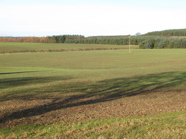
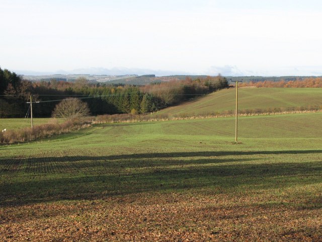
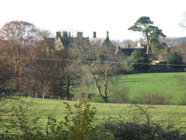
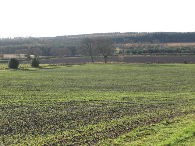
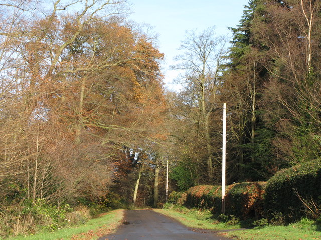
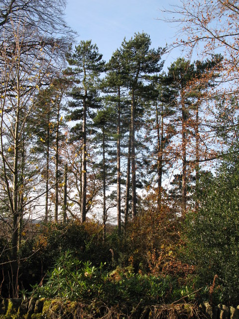
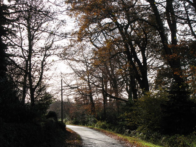
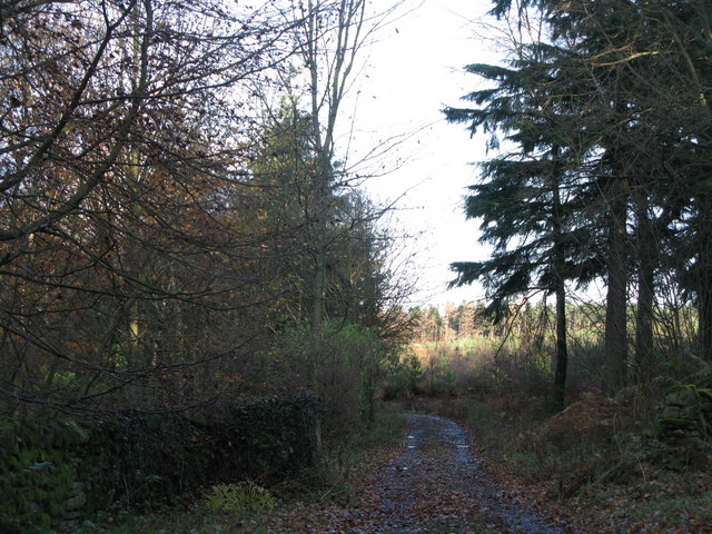
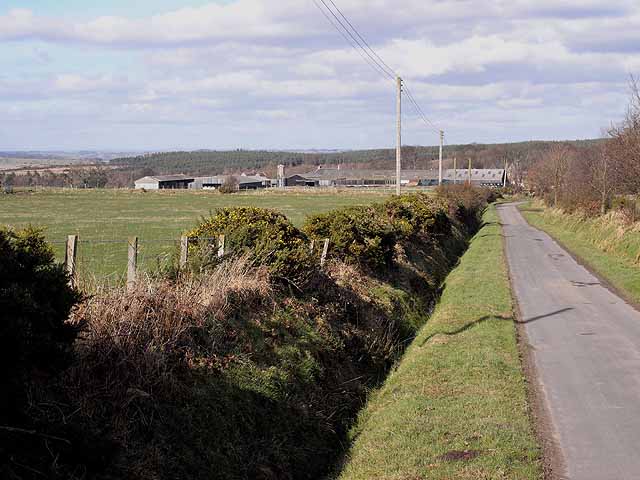
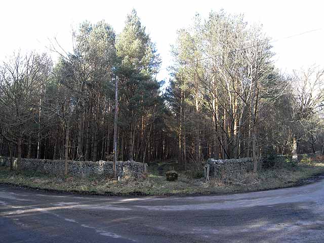
Totherley Hill Images

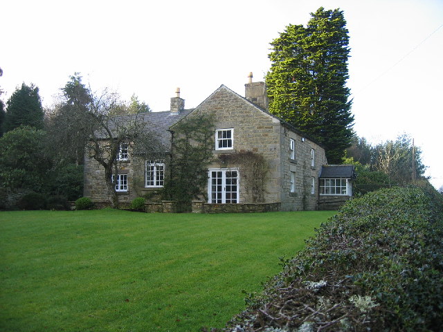
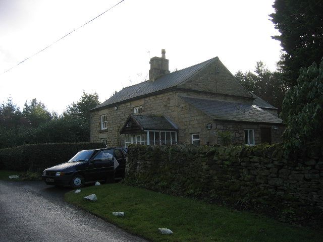
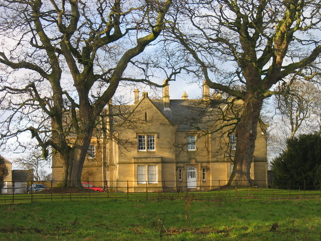
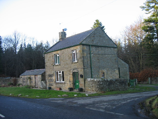
Images are sourced within 2km of 54.919325/-2.0139633 or Grid Reference NY9958. Thanks to Geograph Open Source API. All images are credited.

Forester's Cottage
Forester's Cottage
Forester's Cottage
Forester's Cottage
Healey Hall The hall was built in 1834 and replaced an earlier building thought to have been a 17th century bastle. An old drawing shows a few details and remains of part of this old house are built into the stable block.
Healey Hall
The hall was built in 1834 and replaced an earlier building thought to have been a 17th century bastle. An old drawing shows a few details and remains of part of this old house are built into the stable block.
Lane Head
Lane Head
Ditch End, Low Kellas Plantation A competitor in an orienteering event is approaching a control sited at the ditch end.
Ditch End, Low Kellas Plantation
A competitor in an orienteering event is approaching a control sited at the ditch end.
Burnt House Plantation Junction of minor roads through coniferous plantations near Healey
Burnt House Plantation
Junction of minor roads through coniferous plantations near Healey
Track, farmland and woodland near Healey Hall
Farmland near Healey Photo taken from the track in the northwest corner of <a href="https://www.geograph.org.uk/gridref/NZ0157">NZ0157</a>.
Farmland near Healey
Photo taken from the track in the northwest corner of NZ0157.
Farmland near Healey See <a href="https://www.geograph.org.uk/photo/1094137">NZ0158 : Farmland near Healey</a> for a view slightly to the east. Photo taken from the track in the northwest corner of <a href="https://www.geograph.org.uk/gridref/NZ0157">NZ0157</a>.
Farmland near Healey
See NZ0158 : Farmland near Healey for a view slightly to the east. Photo taken from the track in the northwest corner of NZ0157.
Farmland near Healey (2) See <a href="https://www.geograph.org.uk/photo/1094141">NZ0058 : Farmland near Healey</a> for a view slightly to the east. Photo taken from the track in the northwest corner of <a href="https://www.geograph.org.uk/gridref/NZ0157">NZ0157</a>.
Farmland near Healey (2)
See NZ0058 : Farmland near Healey for a view slightly to the east. Photo taken from the track in the northwest corner of NZ0157.
Healey Hall
Healey Hall
Farmland near Healey
Track in the plantation near Corf Gate
Plantation near Corf Gate
Track in the plantation near Corf Gate (2)
Track in Forestmount Plantation
Farm buildings at Healey Hall At the centre of a sizeable estate in Hexhamshire.
Farm buildings at Healey Hall
At the centre of a sizeable estate in Hexhamshire.
Road junction near Burnt House This view is taken from approximately the diametrically opposite direction to <a href="https://www.geograph.org.uk/photo/504171">NZ0058 : Burnt House Plantation</a>.In addition to the three roads, there are two forest tracks come in at this point.
Road junction near Burnt House
This view is taken from approximately the diametrically opposite direction to NZ0058 : Burnt House Plantation.In addition to the three roads, there are two forest tracks come in at this point.
Show me another place!

Totherley Hill is located at Grid Ref: NY9958 (Lat: 54.919325, Lng: -2.0139633)

Unitary Authority: Northumberland

Police Authority: Northumbria

What 3 Words

///lotteries.teardrop.hunk. Near Slaley, Northumberland

Related Wikis

Slaley, Northumberland

Slaley is a village in Northumberland, England. It is situated to the southeast of Hexham. It is surrounded by the following villages: Ruffside, Whitley...

Healey, Northumberland

Healey is a rural estate and civil parish in Northumberland, England, situated between Riding Mill to the north and Slaley to the south. The neo-Norman...

Slaley Hall

Slaley Hall is a country house golf resort in Northumberland in North East England, built by local developers Seamus O'Carroll and John Rourke which hosted...

Colpitts Grange

Colpitts Grange is a hamlet in Northumberland, England. It is about 7 miles (11 km) to the south-east of Hexham. == Governance == Colpitts Grange is in...

Have you been to Totherley Hill?

Leave your review of Totherley Hill below (or comments, questions and feedback).