Mill Wood
Wood, Forest in Northumberland
England
Mill Wood
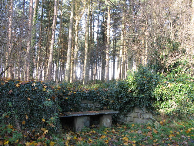
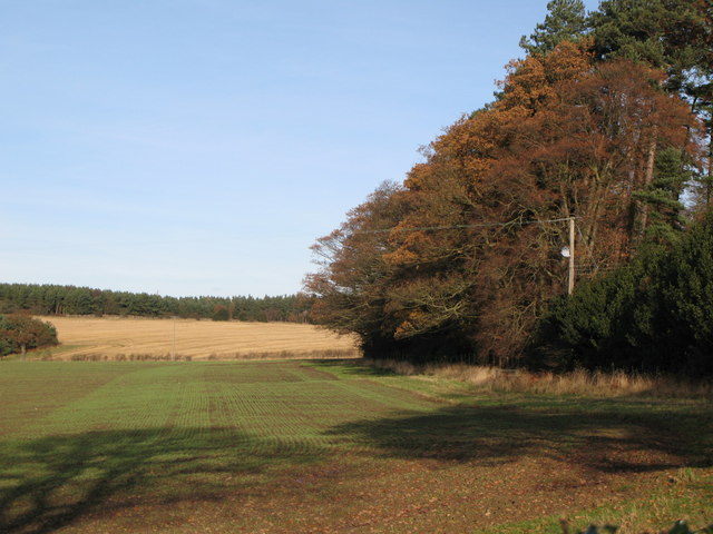
Mill Wood is a picturesque woodland located in Northumberland, England. It is situated in the heart of the Northumberland National Park, one of the largest protected areas in the country. The wood covers an area of approximately 100 hectares and is known for its diverse range of trees and wildlife.
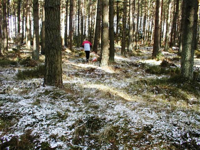
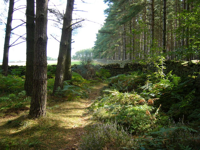
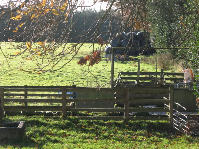
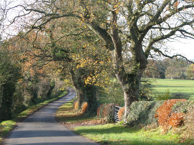
The wood is primarily composed of deciduous trees, including oak, beech, and ash, which create a vibrant tapestry of colors during the autumn months. The dense canopy provides a haven for a variety of bird species, such as woodpeckers, thrushes, and owls. Additionally, small mammals like squirrels, rabbits, and foxes can be spotted darting through the undergrowth.
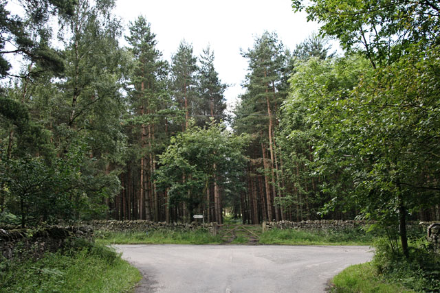
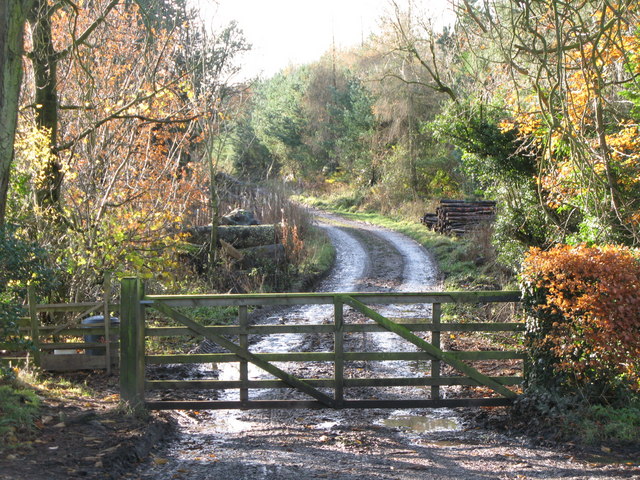
Walking trails meander through the wood, offering visitors the opportunity to explore its natural beauty. These paths take visitors past babbling brooks, tranquil ponds, and ancient stone bridges. The wood is particularly renowned for its bluebell display in spring, where the forest floor becomes a sea of vibrant blue.
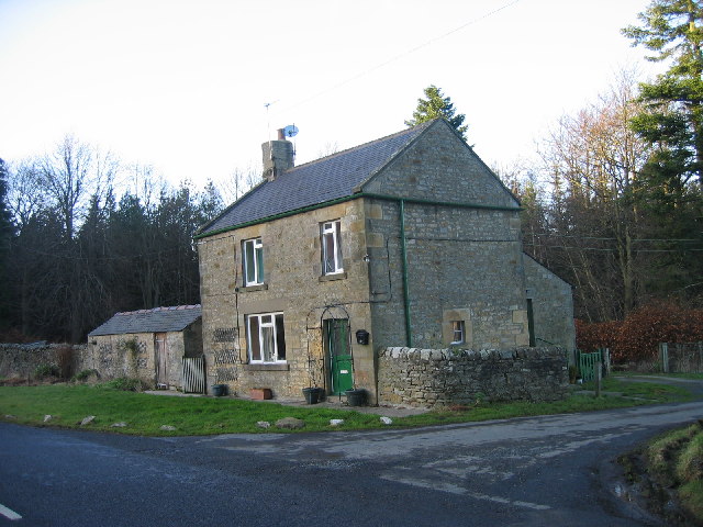
Mill Wood also has historical significance. It was once home to a water mill, which was used to grind corn for the local community. The remnants of this mill can still be seen today, contributing to the wood's rustic charm.
The wood is a popular destination for nature enthusiasts, hikers, and photographers, who come to immerse themselves in its serene atmosphere and capture its stunning landscapes. It offers a peaceful retreat from the hustle and bustle of everyday life, making it a must-visit destination in Northumberland.
If you have any feedback on the listing, please let us know in the comments section below.
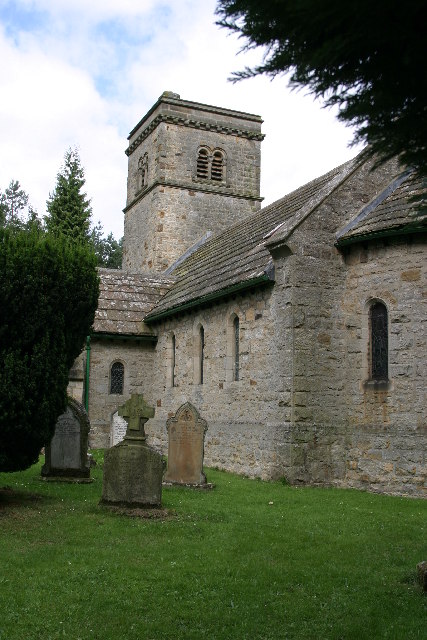
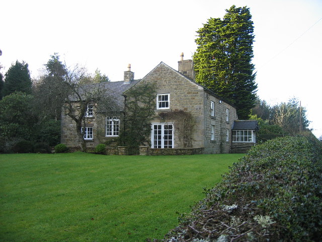
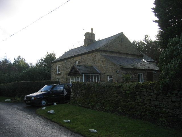
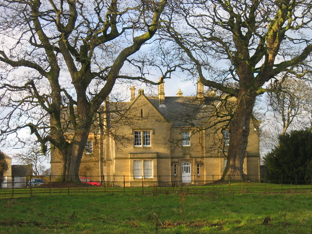
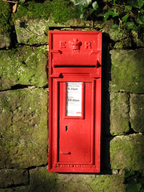
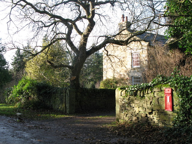
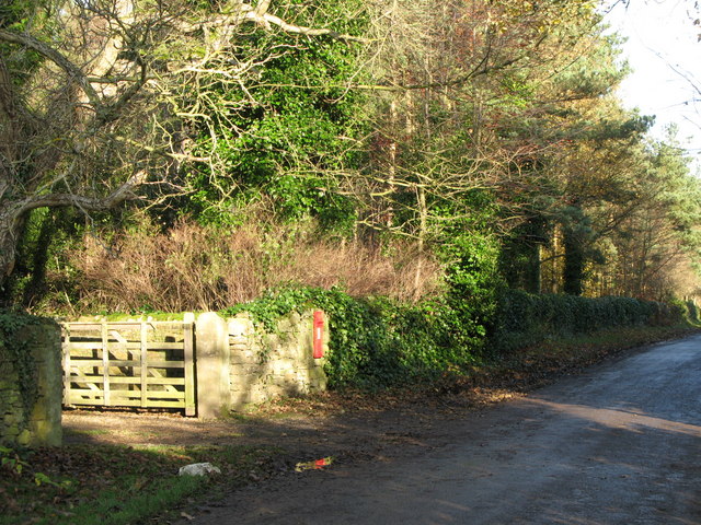
Mill Wood Images
Images are sourced within 2km of 54.922758/-2.0099859 or Grid Reference NY9958. Thanks to Geograph Open Source API. All images are credited.

Mill Wood is located at Grid Ref: NY9958 (Lat: 54.922758, Lng: -2.0099859)
Unitary Authority: Northumberland
Police Authority: Northumbria
What 3 Words
///sped.chuckling.divisible. Near Slaley, Northumberland
Nearby Locations
Related Wikis

Slaley, Northumberland
Slaley is a village in Northumberland, England. It is situated to the southeast of Hexham. It is surrounded by the following villages: Ruffside, Whitley...

Healey, Northumberland
Healey is a rural estate and civil parish in Northumberland, England, situated between Riding Mill to the north and Slaley to the south. The neo-Norman...

Beauclerc
Beauclerc is a small village in Northumberland, England. It is situated to the west of Riding Mill, between Hexham and Newcastle upon Tyne. == Governance... ==

Slaley Hall
Slaley Hall is a country house golf resort in Northumberland in North East England, built by local developers Seamus O'Carroll and John Rourke which hosted...
Have you been to Mill Wood?
Leave your review of Mill Wood below (or comments, questions and feedback).