Dovecot Hill

Hill, Mountain in Northumberland

England

Dovecot Hill

Fawcett Farm
Fawcett Farm Credit: Les Hull

The requested URL returned error: 429 Too Many Requests

If you have any feedback on the listing, please let us know in the comments section below.
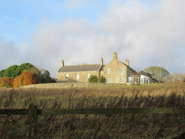
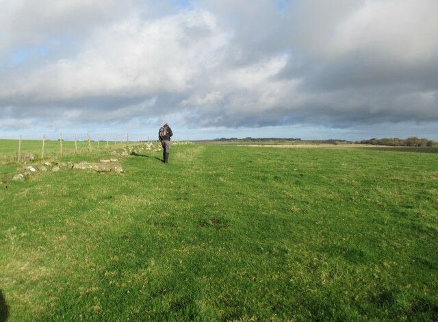
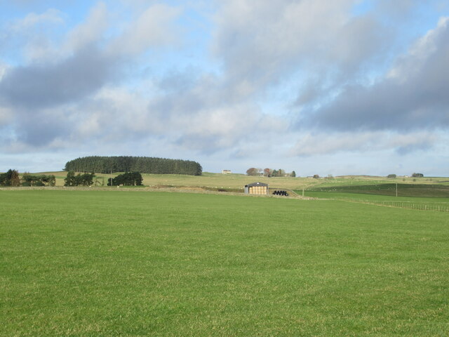
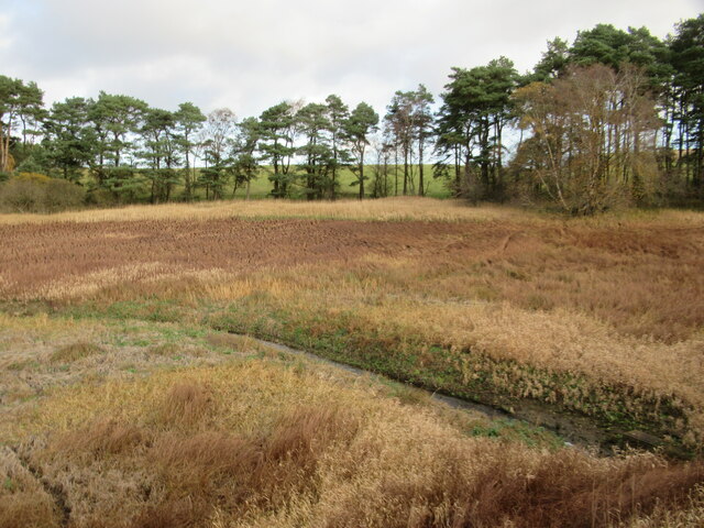
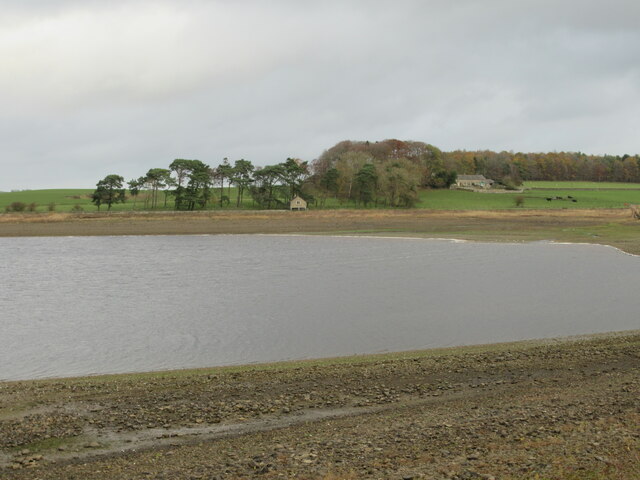
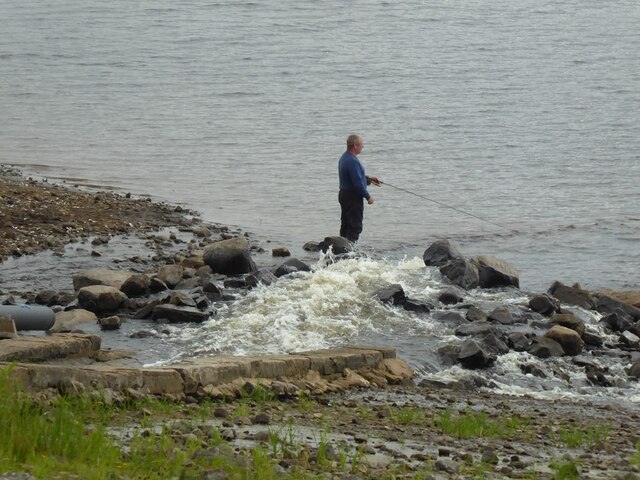
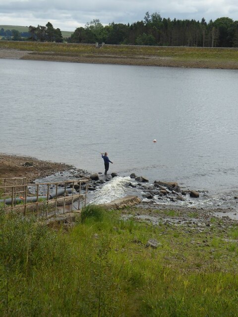
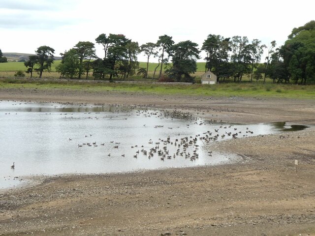
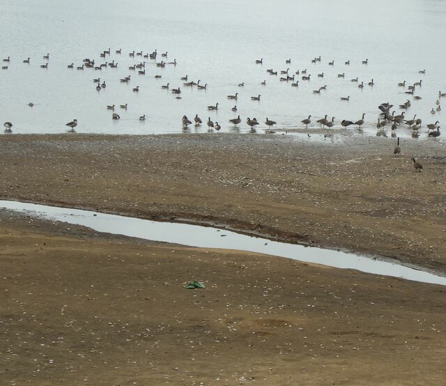
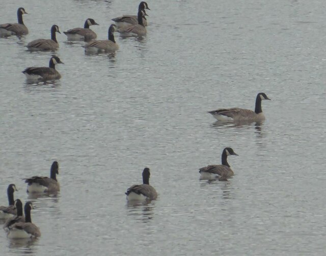
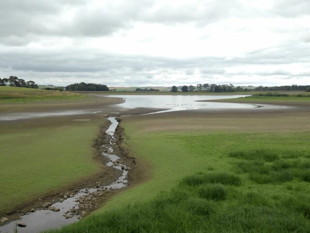
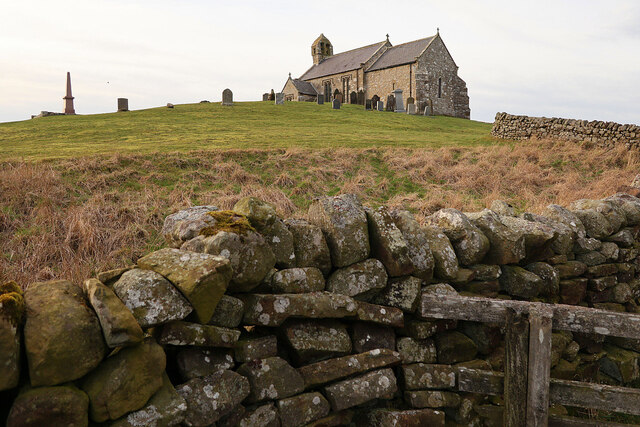
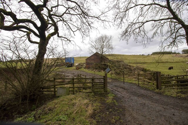
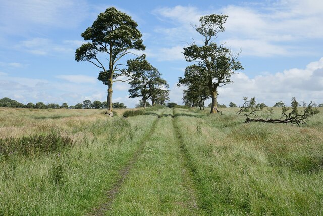
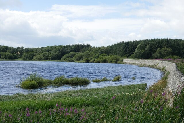
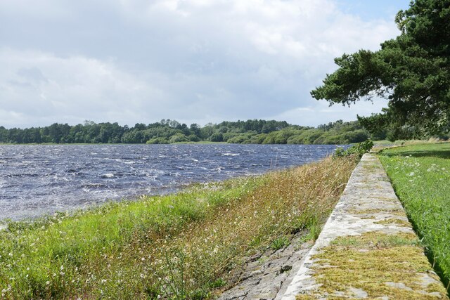
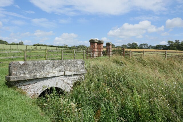
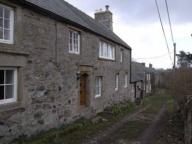
Dovecot Hill Images

Images are sourced within 2km of 55.098179/-2.0413718 or Grid Reference NY9778. Thanks to Geograph Open Source API. All images are credited.

Fawcett Farm
Fawcett Farm
Bridleway and Old Field Boundary
View towards Thockrington Church
Hallington Reservoir East Barely a trickle and the lowest we've seen this end of the reservoir.
Hallington Reservoir East
Barely a trickle and the lowest we've seen this end of the reservoir.
Hallington Reservoir East, Boathouse Boathouse well above the water level and has been for at least twenty years.
Cheviot Farm in the shade of the trees.
Hallington Reservoir East, Boathouse
Boathouse well above the water level and has been for at least twenty years. Cheviot Farm in the shade of the trees.
Angler on Hallington East Reservoir Beside the outlet from the leat conveying water from the Colt Crag Reservoir.
Angler on Hallington East Reservoir
Beside the outlet from the leat conveying water from the Colt Crag Reservoir.
Angler on Hallington East Reservoir Beside the outlet from the leat conveying water from the Colt Crag Reservoir.
Angler on Hallington East Reservoir
Beside the outlet from the leat conveying water from the Colt Crag Reservoir.
Storm damage Damage left by Storm Arwen has made the circuit of Hallington East Reservoir (once popular with walkers and dog-owners) very problematical.
Storm damage
Damage left by Storm Arwen has made the circuit of Hallington East Reservoir (once popular with walkers and dog-owners) very problematical.
Geese on Hallington East Reservoir A mixture of Canada and Greylag Geese. The water level is very low leaving the old boathouse on the far bank high and dry.
Geese on Hallington East Reservoir
A mixture of Canada and Greylag Geese. The water level is very low leaving the old boathouse on the far bank high and dry.
Geese on Hallington East Reservoir Almost entirely Canada Geese.
Geese on Hallington East Reservoir
Almost entirely Canada Geese.
Canada Geese on Hallington East Reservoir
Top end of Hallington Reservoir East Water levels are particularly low at present.
Top end of Hallington Reservoir East
Water levels are particularly low at present.
St Aidan's Church, Thockrington Aidan of Lindisfarne (died 31 August 651) was an Irish monk and missionary credited with converting the Anglo-Saxons to Christianity in Northumbria. He founded a monastic cathedral on the island of Lindisfarne, known as Lindisfarne Priory, served as its first bishop, and travelled ceaselessly throughout the countryside, spreading the gospel to both the Anglo-Saxon nobility and the socially disenfranchised (including children and slaves).
Wikipedia: <span class="nowrap"><a title="https://en.wikipedia.org/wiki/Aidan_of_Lindisfarne" rel="nofollow ugc noopener" href="https://en.wikipedia.org/wiki/Aidan_of_Lindisfarne">Link</a><img style="margin-left:2px;" alt="External link" title="External link - shift click to open in new window" src="https://s1.geograph.org.uk/img/external.png" width="10" height="10"/></span>
St Aidan's Church, Thockrington
Aidan of Lindisfarne (died 31 August 651) was an Irish monk and missionary credited with converting the Anglo-Saxons to Christianity in Northumbria. He founded a monastic cathedral on the island of Lindisfarne, known as Lindisfarne Priory, served as its first bishop, and travelled ceaselessly throughout the countryside, spreading the gospel to both the Anglo-Saxon nobility and the socially disenfranchised (including children and slaves). Wikipedia: LinkExternal link
Homilton Farm
Homilton Farm
Carrier's Lane Carrier's Lane would appear to be an old road (still with some intact hardcore discernible under the grass) now demoted to a restricted byway.  It is seen here about to cross a wide expanse of unimproved pasture.
Carrier's Lane
Carrier's Lane would appear to be an old road (still with some intact hardcore discernible under the grass) now demoted to a restricted byway. It is seen here about to cross a wide expanse of unimproved pasture.
The causeway at Hallington Reservoir East Somewhat similar to Colt Crag Reservoir further to the north in that Hallington East Reservoir also has a causeway at its east end.
The causeway at Hallington Reservoir East
Somewhat similar to Colt Crag Reservoir further to the north in that Hallington East Reservoir also has a causeway at its east end.
A windy summer's day at Hallington East Reservoir An image taken adjacent to the boathouse at Hallington East Reservoir.
A windy summer's day at Hallington East Reservoir
An image taken adjacent to the boathouse at Hallington East Reservoir.
Culvert carrying water to Hallington East Reservoir This culvert is carrying water into Hallington East Reservoir near Cheviot Farm.
Culvert carrying water to Hallington East Reservoir
This culvert is carrying water into Hallington East Reservoir near Cheviot Farm.
Show me another place!

Dovecot Hill is located at Grid Ref: NY9778 (Lat: 55.098179, Lng: -2.0413718)

Unitary Authority: Northumberland

Police Authority: Northumbria

What 3 Words

///domain.thrashing.amazed. Near Birtley, Northumberland

Related Wikis

Bavington Hall

Bavington Hall is a 17th-century privately owned country house at Little Bavington in Northumberland. It is a Grade II* listed building.A tower house...

Hallington Reservoirs

Hallington Reservoirs are located near the small village of Colwell, Northumberland, England on the B6342 road off the A68 road, and 7 miles (11 km) north...

Bavington

Bavington is a civil parish in Northumberland, England. The parish includes the villages of Great Bavington, Little Bavington and Thockrington. According...

Thockrington

Thockrington is a village and former civil parish, now in the parish of Bavington, in Northumberland, England. The village lies about 10 miles (16 km)...

Nearby Amenities

Located within 500m of 55.098179,-2.0413718
Dovecot Hill
Place: locality
Lat/Long: 55.098195/-2.0428369
Barrier: fence
Power: pole
Source: Bing
Lat/Long: 55.1006864/-2.0367542
Barrier: fence
Power: pole
Source: Bing
Lat/Long: 55.1015089/-2.0369956
Barrier: fence
Power: pole
Source: Bing
Lat/Long: 55.102412/-2.0439774
Barrier: fence
Power: pole
Source: Bing
Lat/Long: 55.1018787/-2.0443247
Barrier: fence
Power: pole
Source: Bing
Lat/Long: 55.1010731/-2.0448357
Power: pole
Lat/Long: 55.1002613/-2.0452863
Power: pole
Lat/Long: 55.0999068/-2.0462304
Power: pole
Lat/Long: 55.0995001/-2.0473543
Power: pole
Lat/Long: 55.099075/-2.0484647
The data included in this document is from www.openstreetmap.org. The data is made available under ODbL.

Have you been to Dovecot Hill?

Leave your review of Dovecot Hill below (or comments, questions and feedback).