Conderton Hill
Hill, Mountain in Gloucestershire Wychavon
England
Conderton Hill
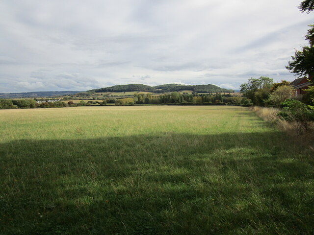
Conderton Hill is a prominent natural feature located in the county of Gloucestershire, England. Situated near the village of Conderton, it is a notable hill within the region's landscape. With an elevation of approximately 150 meters (492 feet), it offers breathtaking panoramic views of the surrounding countryside.
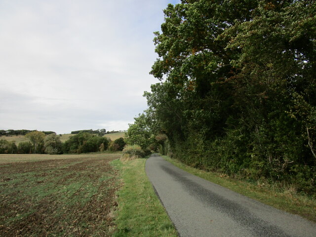
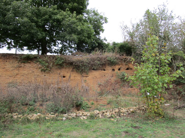
The hill is mainly composed of limestone, a characteristic geological feature of the Cotswolds area. Its unique formation is a result of millions of years of erosion and tectonic activity. As a result, Conderton Hill showcases the distinctive rolling hills and valleys that define this part of Gloucestershire.
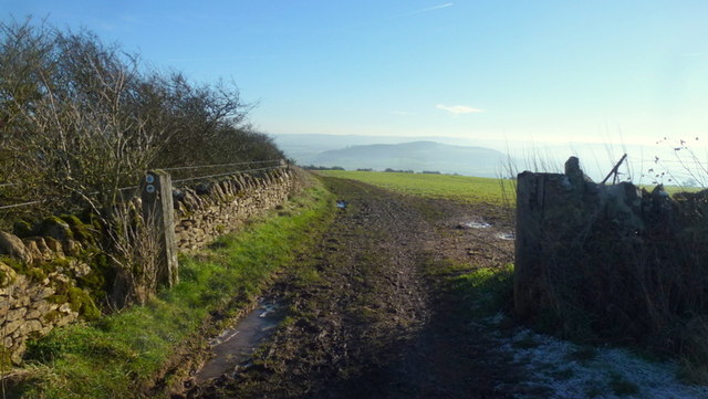
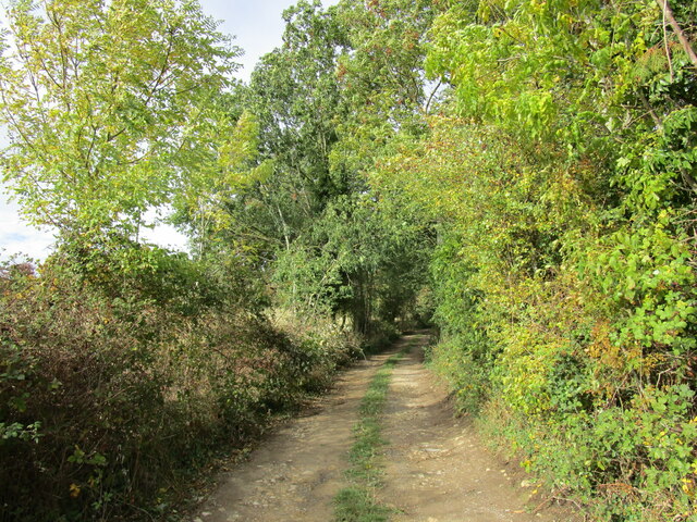
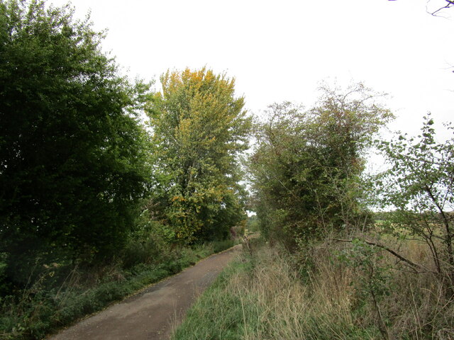
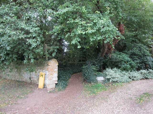
The hill is covered in lush vegetation, with a mix of deciduous and coniferous trees adorning its slopes. This provides a vibrant and diverse habitat for wildlife, including various bird species, small mammals, and insects. It is also a popular spot for nature enthusiasts and hikers, who can explore the numerous walking trails that crisscross the area.
At the summit of Conderton Hill, there is a trig point that marks its highest point, allowing visitors to pinpoint their location and appreciate the scenic beauty that surrounds them. On clear days, it is even possible to catch glimpses of neighboring counties, such as Worcestershire and Herefordshire.
Overall, Conderton Hill is a picturesque natural landmark in Gloucestershire, offering visitors and locals alike a chance to immerse themselves in the beauty of the English countryside.
If you have any feedback on the listing, please let us know in the comments section below.
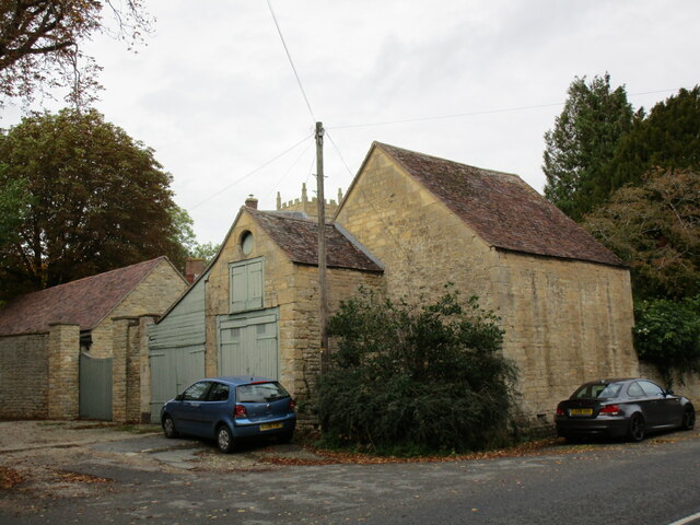
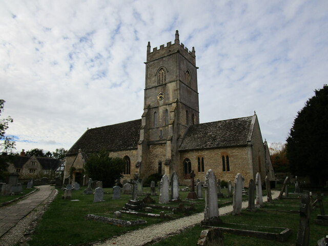
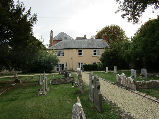
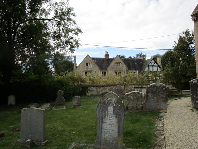
Conderton Hill Images
Images are sourced within 2km of 52.038119/-2.0385141 or Grid Reference SO9737. Thanks to Geograph Open Source API. All images are credited.

Conderton Hill is located at Grid Ref: SO9737 (Lat: 52.038119, Lng: -2.0385141)
Administrative County: Worcestershire
District: Wychavon
Police Authority: West Mercia
What 3 Words
///faces.shackles.seasonal. Near Bredon, Worcestershire
Nearby Locations
Related Wikis

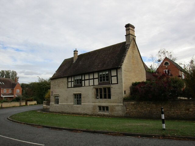
Conderton
Conderton is a small hamlet in the Wychavon district of Worcestershire, England. == Toponymy == The name Conderton is derived from the Old English Cantware...

Grafton, Worcestershire
Grafton is a hamlet in Worcestershire, England, situated between the villages of Beckford and Ashton under Hill, south-east of Bredon Hill. The name Grafton...

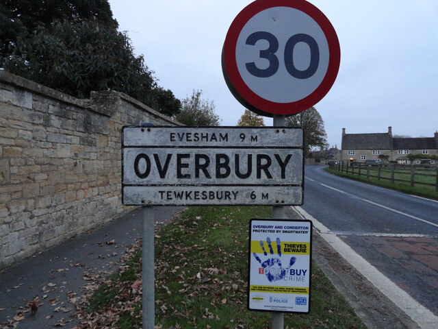
Overbury
Overbury is a village and civil parish in Worcestershire, England, midway between Evesham and Tewkesbury south of Bredon Hill. The manor of Overbury was...

Beckford Nature Reserve
Beckford Nature Reserve is near Beckford, in Worcestershire, England, situated immediately north of the village. The nature reserve was created from a...

Overbury Court
Overbury Court is a Georgian style country house in Overbury, Worcestershire, England. It is a privately owned Grade II* listed building. It is built in...

Beckford Priory
Beckford Priory was a medieval house of Augustinian Canons, historically within Gloucestershire, presently in Worcestershire, England. It was founded in...

Ashton under Hill
Ashton under Hill is a village and civil parish in the Wychavon district of Worcestershire in England. It is situated at the foot of Bredon Hill. According...

Beckford railway station
Beckford railway station was a station on the Midland Railway between Great Malvern and Evesham. It was designed by the architect George Hunt and opened...
Nearby Amenities
Located within 500m of 52.038119,-2.0385141Have you been to Conderton Hill?
Leave your review of Conderton Hill below (or comments, questions and feedback).