Beckford Coppice
Wood, Forest in Gloucestershire Wychavon
England
Beckford Coppice
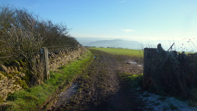
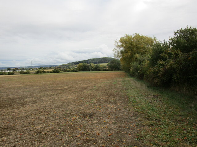
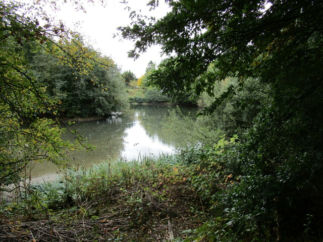
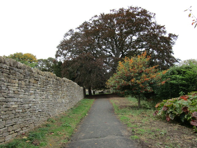
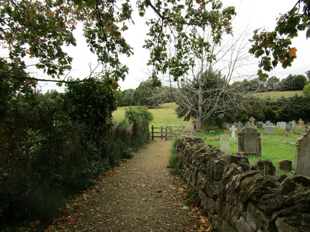
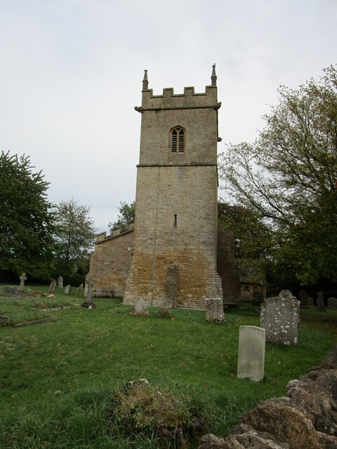
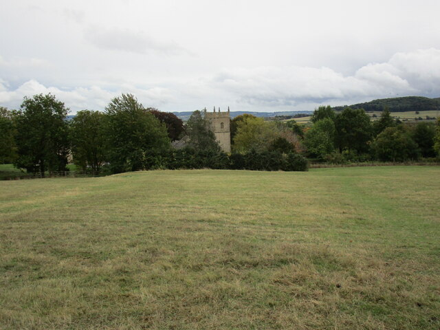
Beckford Coppice is a picturesque woodland located in Gloucestershire, England. Covering an area of approximately 100 acres, this ancient coppice is known for its diverse range of trees and tranquil atmosphere. The coppice is situated in the village of Beckford, nestled in the undulating hills of the Cotswolds.
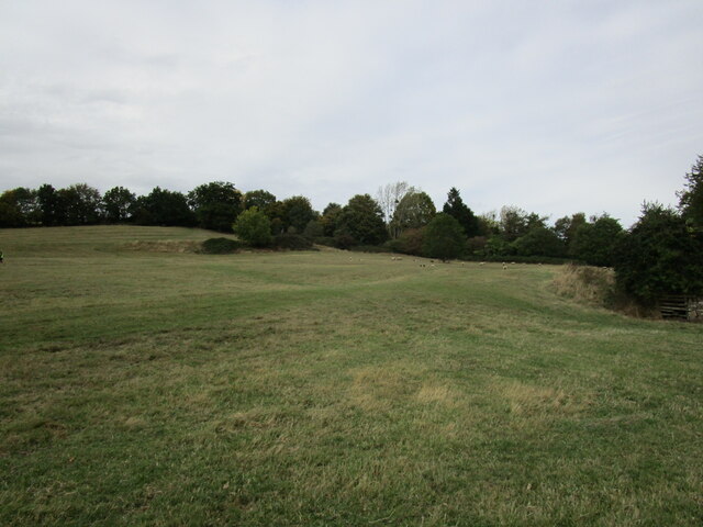
The woodland is primarily composed of mixed broadleaf trees, including oak, ash, beech, and hazel. These trees create a dense canopy that provides shelter for a variety of wildlife, making it a popular destination for nature enthusiasts and birdwatchers. Visitors can expect to spot species such as woodpeckers, owls, and various songbirds.
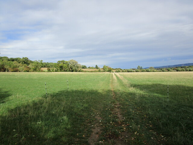
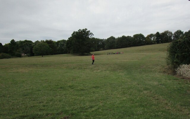
A network of well-maintained footpaths winds its way through Beckford Coppice, allowing visitors to explore the woodland at their leisure. The paths are signposted, providing information about the different tree species and points of interest along the way. The terrain is mostly flat, making it suitable for walkers of all ages and abilities.
In addition to its natural beauty, Beckford Coppice has historical significance. The woodland has been managed as a coppice for centuries, a traditional method of woodland management involving the regular cutting of trees to encourage regrowth. This practice has created a diverse range of habitats within the coppice, supporting a rich array of flora and fauna.
Overall, Beckford Coppice offers a tranquil retreat for those seeking to immerse themselves in nature. Its combination of ancient trees, diverse wildlife, and historical significance make it a must-visit destination for nature lovers and history enthusiasts alike.
If you have any feedback on the listing, please let us know in the comments section below.
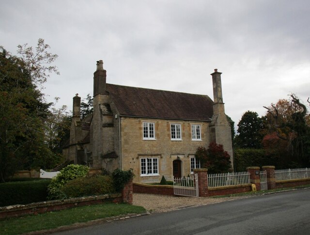
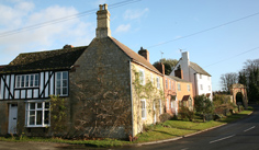
Beckford Coppice Images
Images are sourced within 2km of 52.033526/-2.0328397 or Grid Reference SO9737. Thanks to Geograph Open Source API. All images are credited.

Beckford Coppice is located at Grid Ref: SO9737 (Lat: 52.033526, Lng: -2.0328397)
Administrative County: Worcestershire
District: Wychavon
Police Authority: West Mercia
What 3 Words
///headache.frail.mouse. Near Bredon, Worcestershire
Nearby Locations
Related Wikis

Grafton, Worcestershire
Grafton is a hamlet in Worcestershire, England, situated between the villages of Beckford and Ashton under Hill, south-east of Bredon Hill. The name Grafton...

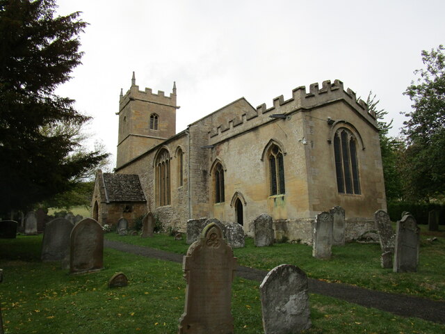
Beckford Nature Reserve
Beckford Nature Reserve is near Beckford, in Worcestershire, England, situated immediately north of the village. The nature reserve was created from a...

Beckford Priory
Beckford Priory was a medieval house of Augustinian Canons, historically within Gloucestershire, presently in Worcestershire, England. It was founded in...

Conderton
Conderton is a small hamlet in the Wychavon district of Worcestershire, England. == Toponymy == The name Conderton is derived from the Old English Cantware...

Beckford railway station
Beckford railway station was a station on the Midland Railway between Great Malvern and Evesham. It was designed by the architect George Hunt and opened...

Ashton under Hill
Ashton under Hill is a village and civil parish in the Wychavon district of Worcestershire in England. It is situated at the foot of Bredon Hill. According...
Beckford, Worcestershire
Beckford is a small village on the main Cheltenham to Evesham Road, five miles north-east of Tewkesbury, on the Worcestershire—Gloucestershire border....

Overbury
Overbury is a village and civil parish in Worcestershire, England, midway between Evesham and Tewkesbury south of Bredon Hill. The manor of Overbury was...
Nearby Amenities
Located within 500m of 52.033526,-2.0328397Have you been to Beckford Coppice?
Leave your review of Beckford Coppice below (or comments, questions and feedback).