Staple Croft

Wood, Forest in Dorset

England

Staple Croft

Path to the horizon, Gussage St Michael On the ground, the path takes a more direct route up the field than that shown on the OS map.
Path to the horizon, Gussage St Michael Credit: David Martin

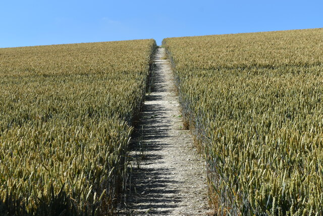
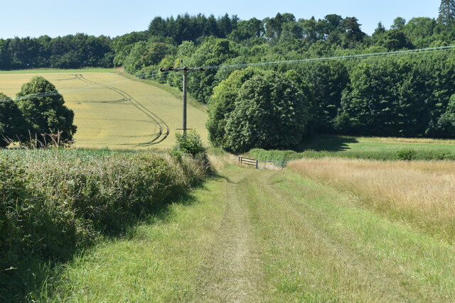
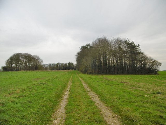
Staple Croft, Dorset is a charming woodland area located in the southwestern part of England. Nestled in the county of Dorset, this wood and forest expanse covers an approximate area of 50 acres. It is situated near the village of Staple, just a few miles away from the town of Sherborne.

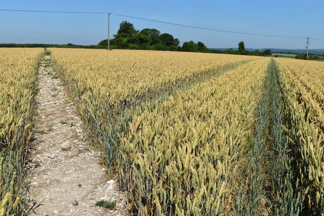
Staple Croft is a picturesque woodland that offers a tranquil escape from the hustle and bustle of everyday life. The forest is predominantly composed of broadleaf trees, including oak, beech, and ash, creating a diverse and vibrant ecosystem. The lush undergrowth is adorned with wildflowers and ferns, further enhancing the natural beauty of the area.

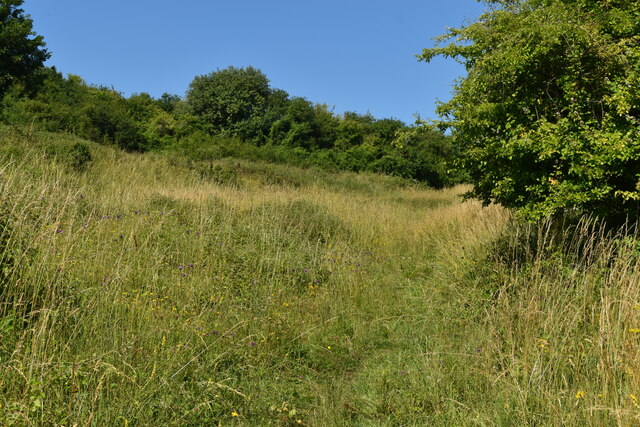
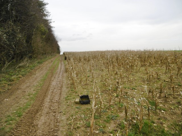
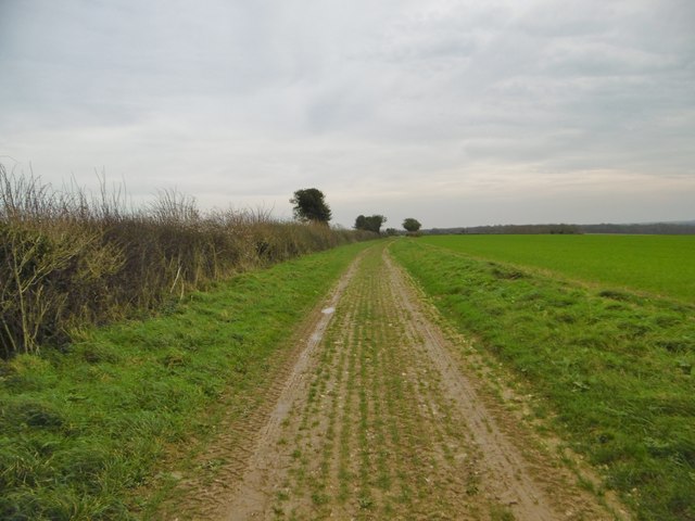
The wood is crisscrossed with a network of well-maintained walking trails, allowing visitors to immerse themselves in the serene surroundings and explore the diverse flora and fauna. The peaceful ambiance of Staple Croft makes it an ideal location for nature walks, birdwatching, and photography.

In addition to its natural beauty, Staple Croft also holds historical significance. The wood has been well-preserved over the years, maintaining its ancient woodland status. It is believed that the area has been wooded since medieval times, making it an important part of the local heritage.

Staple Croft is a haven for wildlife, providing a habitat for various species. Visitors may encounter deer, foxes, badgers, and a wide range of bird species, including woodpeckers, owls, and thrushes.

Overall, Staple Croft, Dorset is a captivating woodland that offers a peaceful retreat and a chance to connect with nature in a beautiful and historically significant setting.

If you have any feedback on the listing, please let us know in the comments section below.

Staple Croft Images

Images are sourced within 2km of 50.883627/-2.0320039 or Grid Reference ST9709. Thanks to Geograph Open Source API. All images are credited.

Path to the horizon, Gussage St Michael On the ground, the path takes a more direct route up the field than that shown on the OS map.
Path to the horizon, Gussage St Michael
On the ground, the path takes a more direct route up the field than that shown on the OS map.
Path and tracks in field above Sovell Plantation
Barns north of Holly Grove Coppice
Path climbing through nature reserve on Sovell Down
St Mary’s Church, Long Crichel Now redundant, and in the care of the charity “Friends of Friendless Churches”.
St Mary’s Church, Long Crichel
Now redundant, and in the care of the charity “Friends of Friendless Churches”.
St Mary’s Church, Long Crichel Now redundant, and in the care of the charity “Friends of Friendless Churches”.
St Mary’s Church, Long Crichel
Now redundant, and in the care of the charity “Friends of Friendless Churches”.
Lane to Long Crichel
Lane from Long Crichel  towards Gussage St Michael
Lane from Long Crichel towards Gussage St Michael
On the course of the Roman Road near Holly Grove Coppice
Bends in lane east of Holly Grove Coppice
Field edge path on the course of the Roman Road
Footpath stile, Gussage St Michael The lane doesn't seem to have a name, but is a parish boundary throughout its length. The footpath should lead to the village, but is blocked at this end by brambles and thorn trees.
Footpath stile, Gussage St Michael
The lane doesn't seem to have a name, but is a parish boundary throughout its length. The footpath should lead to the village, but is blocked at this end by brambles and thorn trees.
Dutch barns near Holly Grove Coppice Probably belonging to Holly Grove Farm.
Dutch barns near Holly Grove Coppice
Probably belonging to Holly Grove Farm.
Long Crichel church St. Mary's is grade II listed, Victorian apart from the 15th century tower.
Long Crichel church
St. Mary's is grade II listed, Victorian apart from the 15th century tower.
Field north of Long Crichel Some sort of kale or beet crop.
Field north of Long Crichel
Some sort of kale or beet crop.
Long Crichel, woodland Many of the local downland high points have been planted with blocks or lines of woodland, presumably as windbreaks, and now used as game bird coverts.
Long Crichel, woodland
Many of the local downland high points have been planted with blocks or lines of woodland, presumably as windbreaks, and now used as game bird coverts.
Long Crichel, maize stubble Many of the local fields have strips of stubble that have not been ploughed in, and are used as coverts for game birds - note the feeders.
Long Crichel, maize stubble
Many of the local fields have strips of stubble that have not been ploughed in, and are used as coverts for game birds - note the feeders.
Long Crichel, bridleway Bridleway and farm track, heading towards Moor Crichel alongside cereal fields.
Long Crichel, bridleway
Bridleway and farm track, heading towards Moor Crichel alongside cereal fields.
Show me another place!

Staple Croft is located at Grid Ref: ST9709 (Lat: 50.883627, Lng: -2.0320039)

Unitary Authority: Dorset

Police Authority: Dorset

What 3 Words

///wordplay.combos.snored. Near Pimperne, Dorset

Related Wikis

Knowlton Hundred

Knowlton Hundred was a hundred in the county of Dorset, England, containing the following parishes: Gussage All Saints Long Crichel Woodlands == See... ==

Long Crichel

Long Crichel () is a small village and former civil parish, now in the parish of Crichel, in east Dorset, England, situated on Cranborne Chase five miles...

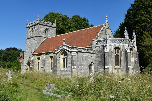
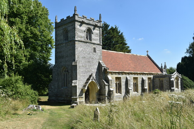
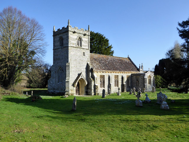
St Mary's Church, Long Crichel

St Mary's Church is in the village of Long Crichel, Dorset, England. It is a redundant Anglican parish church that has been under the care of the Friends...

Moor Crichel

Moor Crichel () is a village and former civil parish, now in the parish of Crichel, in East Dorset, England situated on Cranborne Chase five miles east...

Have you been to Staple Croft?

Leave your review of Staple Croft below (or comments, questions and feedback).