Crichel

Civil Parish in Dorset East Dorset

England

Crichel

Path to the horizon, Gussage St Michael On the ground, the path takes a more direct route up the field than that shown on the OS map.
Path to the horizon, Gussage St Michael Credit: David Martin

Crichel is a civil parish located in the county of Dorset, England. Situated in the southern region of the country, Crichel is part of the East Dorset district. It encompasses an area of approximately 5 square miles and is home to a small population of around 200 residents.

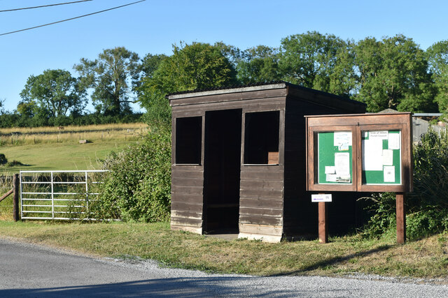
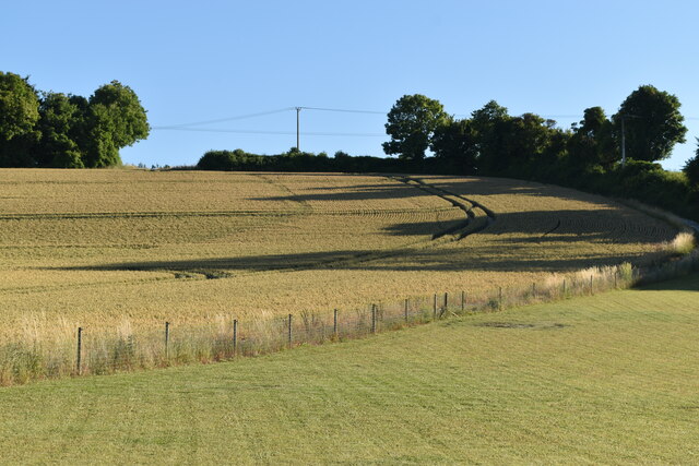
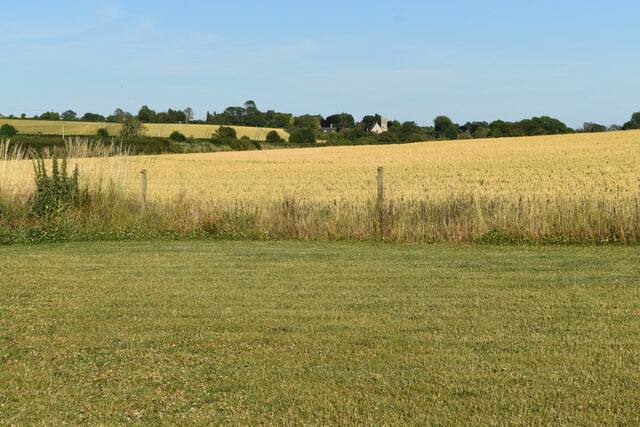
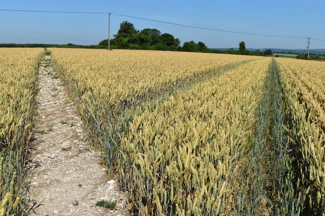
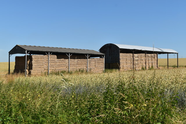
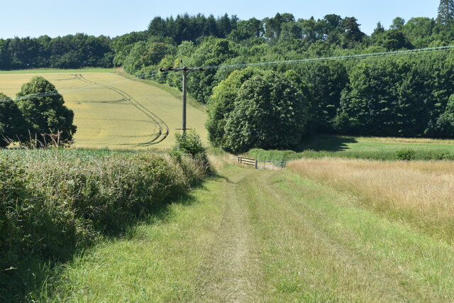
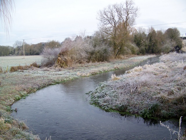
The parish is situated near the town of Wimborne Minster and is surrounded by picturesque countryside, offering beautiful views and a tranquil atmosphere. Crichel is known for its rural charm and is dotted with quaint cottages and farms.

One of the notable landmarks in Crichel is Crichel House, a Grade II listed country house that dates back to the 18th century. The house is set within a stunning parkland, which includes Crichel Lake, a popular spot for fishing and leisurely walks.

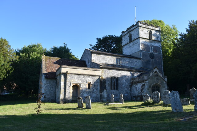
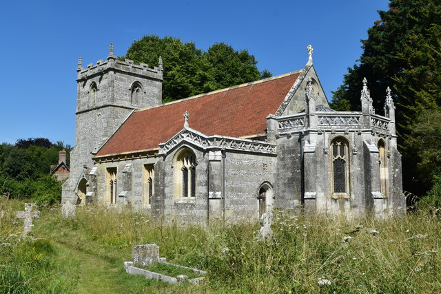
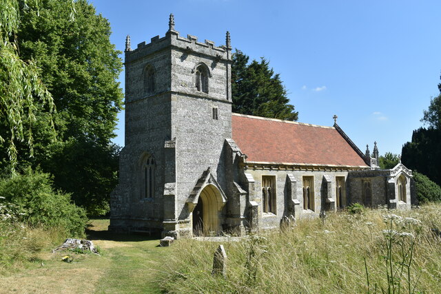
The parish also boasts a charming Church of England parish church, St. Michael's Church, which is a focal point for the local community. The church dates back to the 12th century and features beautiful stained glass windows and a peaceful churchyard.

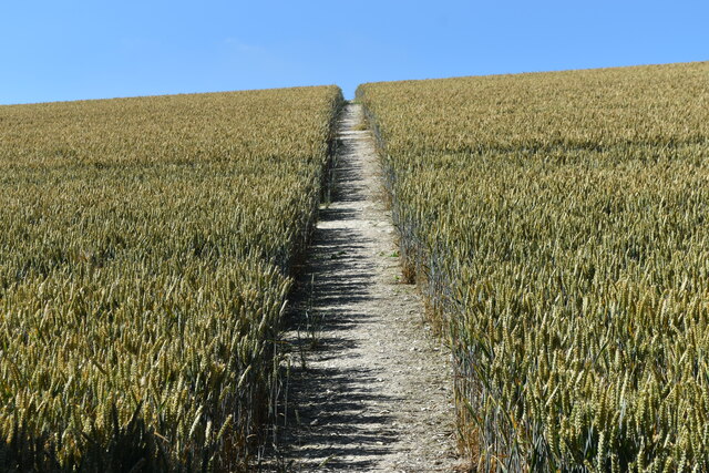
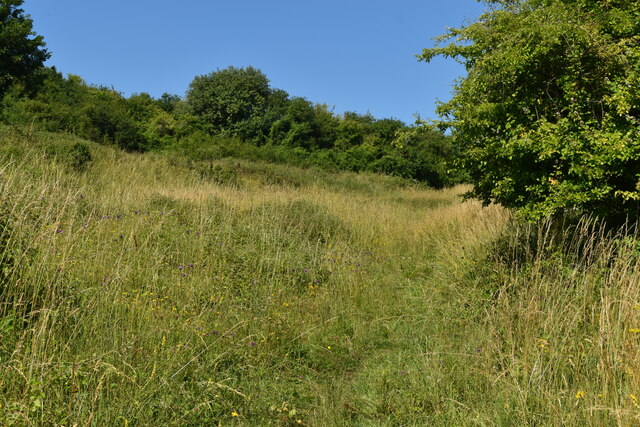
Crichel offers a peaceful and idyllic setting, making it a popular destination for those seeking a rural retreat. The area is surrounded by numerous walking and cycling routes, allowing residents and visitors to explore the picturesque countryside and enjoy the natural beauty of the region.

Overall, Crichel is a quaint and picturesque civil parish, offering a serene and rural lifestyle to its residents, while also attracting visitors seeking a peaceful countryside getaway.

If you have any feedback on the listing, please let us know in the comments section below.

Crichel Images

Images are sourced within 2km of 50.887198/-2.031316 or Grid Reference ST9709. Thanks to Geograph Open Source API. All images are credited.

Path to the horizon, Gussage St Michael On the ground, the path takes a more direct route up the field than that shown on the OS map.
Path to the horizon, Gussage St Michael
On the ground, the path takes a more direct route up the field than that shown on the OS map.
Bus shelter, Gussage St Michael
St Michael’s Church
St Michael’s Church
Evening shadows, Gussage St Michael
Valley view towards Gussage All Saints Village church visible in the distance, as seen from the edge of Gussage St Michael.
Valley view towards Gussage All Saints
Village church visible in the distance, as seen from the edge of Gussage St Michael.
Path and tracks in field above Sovell Plantation
Barns north of Holly Grove Coppice
Path climbing through nature reserve on Sovell Down
St Mary’s Church, Long Crichel Now redundant, and in the care of the charity “Friends of Friendless Churches”.
St Mary’s Church, Long Crichel
Now redundant, and in the care of the charity “Friends of Friendless Churches”.
St Mary’s Church, Long Crichel Now redundant, and in the care of the charity “Friends of Friendless Churches”.
St Mary’s Church, Long Crichel
Now redundant, and in the care of the charity “Friends of Friendless Churches”.
Lane to Long Crichel
Lane from Long Crichel  towards Gussage St Michael
Lane from Long Crichel towards Gussage St Michael
Direction sign on the ridge above Gussage St Michael A comprehensive selection of destinations, including unusual abbreviation of the separate villages Gussage St Michael and Gussage All Saints. The partially obscured name is Witchampton.
Direction sign on the ridge above Gussage St Michael
A comprehensive selection of destinations, including unusual abbreviation of the separate villages Gussage St Michael and Gussage All Saints. The partially obscured name is Witchampton.
On the course of the Roman Road near Holly Grove Coppice
Bends in lane east of Holly Grove Coppice
Field edge path on the course of the Roman Road
Footpath stile, Gussage St Michael The lane doesn't seem to have a name, but is a parish boundary throughout its length. The footpath should lead to the village, but is blocked at this end by brambles and thorn trees.
Footpath stile, Gussage St Michael
The lane doesn't seem to have a name, but is a parish boundary throughout its length. The footpath should lead to the village, but is blocked at this end by brambles and thorn trees.
Dutch barns near Holly Grove Coppice Probably belonging to Holly Grove Farm.
Dutch barns near Holly Grove Coppice
Probably belonging to Holly Grove Farm.
Show me another place!

Crichel is located at Grid Ref: ST9709 (Lat: 50.887198, Lng: -2.031316)

Administrative County: Dorset

District: East Dorset

Police Authority: Dorset

What 3 Words

///attracts.lamplight.kneeled. Near Pimperne, Dorset

Related Wikis

Knowlton Hundred

Knowlton Hundred was a hundred in the county of Dorset, England, containing the following parishes: Gussage All Saints Long Crichel Woodlands == See... ==

Long Crichel

Long Crichel () is a small village and former civil parish, now in the parish of Crichel, in east Dorset, England, situated on Cranborne Chase five miles...

St Mary's Church, Long Crichel

St Mary's Church is in the village of Long Crichel, Dorset, England. It is a redundant Anglican parish church that has been under the care of the Friends...

Gussage

Gussage is a series of three villages in north Dorset, England, situated along the Gussage Stream, a tributary of the River Allen on Cranborne Chase, 8...

Nearby Amenities

Located within 500m of 50.887198,-2.031316
Post Box
Collection Times: Mo-Fr 15:00; Sa 08:30
Description: East end of village, by Bakery entrance
Operator: Royal Mail
Post Box Type: lamp
Ref: BH21 160
Ref GB Uprn: 10015349632
Royal Cypher: EIIR
Royal Cypher Wikidata: Q33102113
Lat/Long: 50.8910046/-2.0313948
Material: wood
Power: pole
Source: bing
Lat/Long: 50.8908348/-2.0291369
Material: wood
Power: pole
Source: bing
Lat/Long: 50.8909583/-2.0295178
Material: wood
Power: pole
Source: bing
Lat/Long: 50.8910971/-2.028799
Material: wood
Power: pole
Source: bing
Lat/Long: 50.8911174/-2.030065
Material: wood
Power: pole
Source: bing
Lat/Long: 50.8912882/-2.0306497
Material: wood
Power: pole
Source: bing
Lat/Long: 50.8914185/-2.0311861
The data included in this document is from www.openstreetmap.org. The data is made available under ODbL.

Have you been to Crichel?

Leave your review of Crichel below (or comments, questions and feedback).