Milestone Plantation
Wood, Forest in Northumberland
England
Milestone Plantation
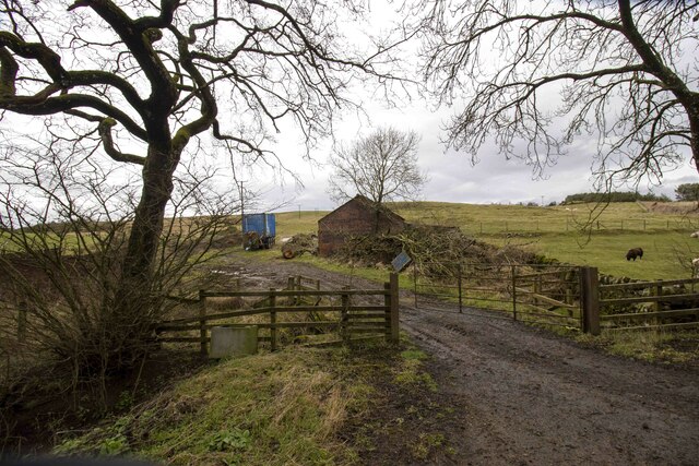
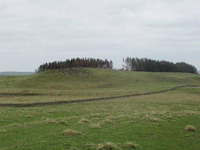
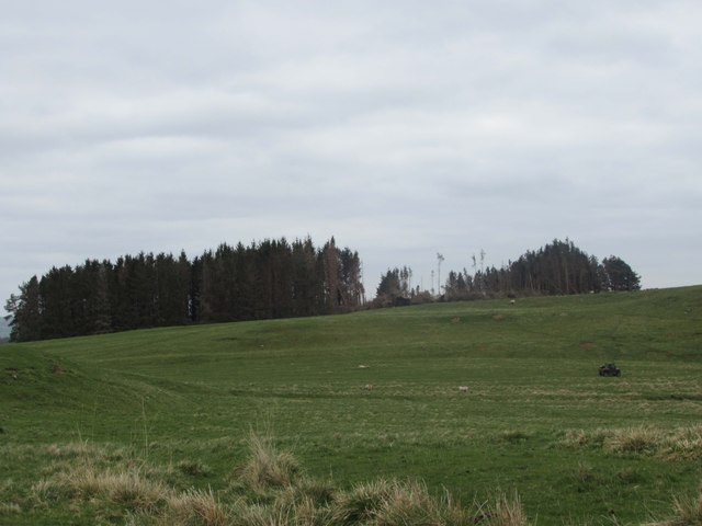
Milestone Plantation is a picturesque woodland located in Northumberland, England. Covering an expansive area, the plantation is renowned for its diverse range of trees and natural beauty. The plantation is situated in close proximity to the village of Milestone, from which it derives its name.
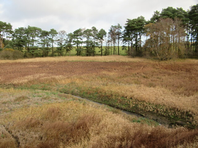
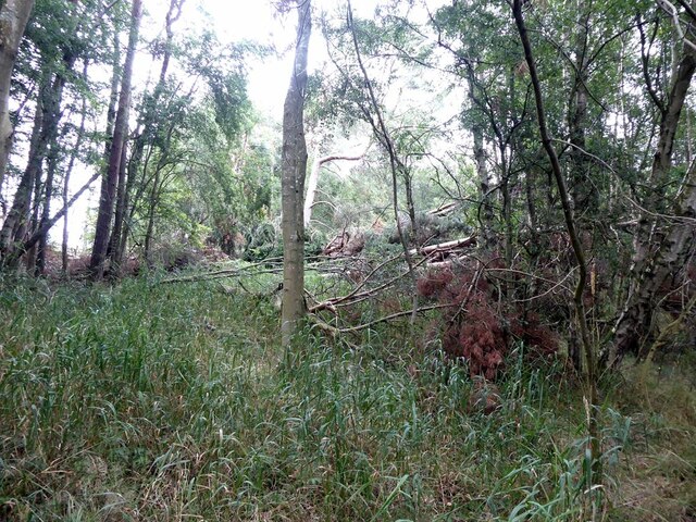
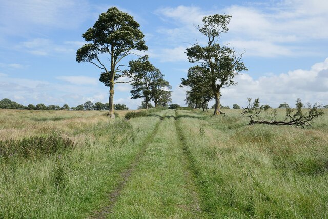
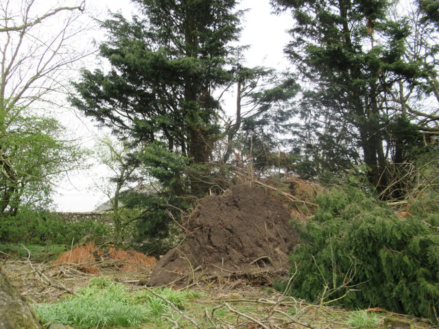
The woodland of Milestone Plantation is predominantly composed of a mix of broadleaf and coniferous trees. Towering oak, beech, and birch trees create a lush canopy, while spruce and pine trees add depth and texture to the landscape. These trees provide a habitat for a variety of wildlife, including birds, squirrels, and deer.
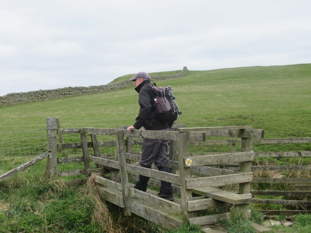
The plantation boasts several well-maintained walking trails that wind through the woodland. These paths offer visitors the opportunity to explore the plantation's tranquil surroundings and immerse themselves in nature. The trails vary in difficulty, catering to both leisurely strolls and more adventurous hikes.
One of the highlights of Milestone Plantation is its rich history. The plantation has been carefully managed for centuries, with records of its existence dating back to the 18th century. The area has witnessed various landowners and developments over the years, contributing to its unique character.
Milestone Plantation is a popular destination for nature lovers, hikers, and photographers alike. Its breathtaking scenery and peaceful ambiance make it an ideal retreat for those seeking solace in the beauty of the natural world. Whether exploring the trails or simply enjoying a picnic amidst the towering trees, visitors to Milestone Plantation are guaranteed to experience the tranquility and splendor of this Northumberland gem.
If you have any feedback on the listing, please let us know in the comments section below.
Milestone Plantation Images
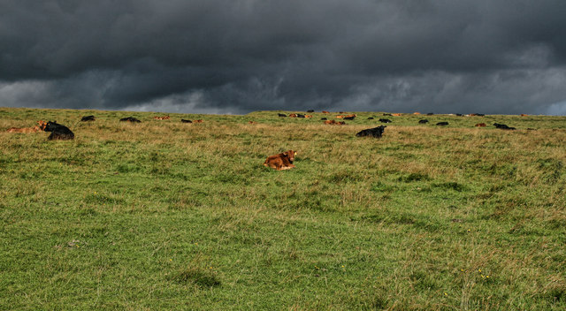
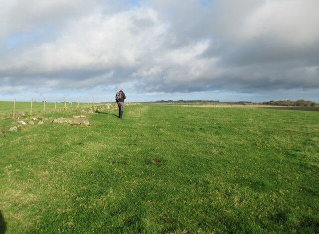
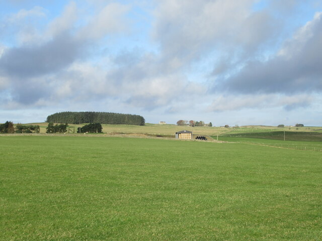
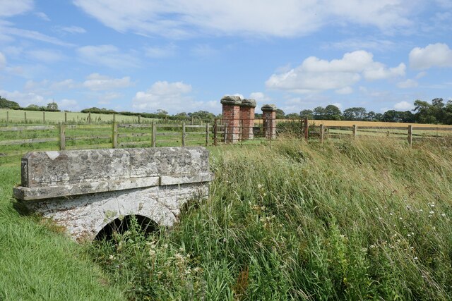
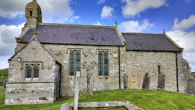
Images are sourced within 2km of 55.099894/-2.0445078 or Grid Reference NY9778. Thanks to Geograph Open Source API. All images are credited.
Milestone Plantation is located at Grid Ref: NY9778 (Lat: 55.099894, Lng: -2.0445078)
Unitary Authority: Northumberland
Police Authority: Northumbria
What 3 Words
///grid.heartless.cringes. Near Birtley, Northumberland
Nearby Locations
Related Wikis

Bavington Hall
Bavington Hall is a 17th-century privately owned country house at Little Bavington in Northumberland. It is a Grade II* listed building.A tower house...

Thockrington
Thockrington is a village and former civil parish, now in the parish of Bavington, in Northumberland, England. The village lies about 10 miles (16 km)...

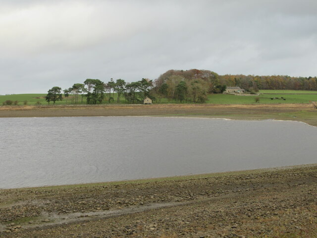
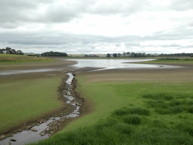
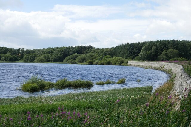
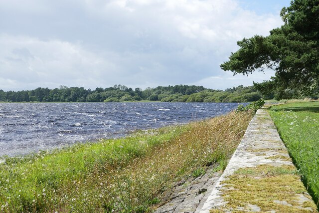
Hallington Reservoirs
Hallington Reservoirs are located near the small village of Colwell, Northumberland, England on the B6342 road off the A68 road, and 7 miles (11 km) north...
Bavington
Bavington is a civil parish in Northumberland, England. The parish includes the villages of Great Bavington, Little Bavington and Thockrington. According...
Nearby Amenities
Located within 500m of 55.099894,-2.0445078Have you been to Milestone Plantation?
Leave your review of Milestone Plantation below (or comments, questions and feedback).