Wick Hill
Hill, Mountain in Wiltshire
England
Wick Hill
Wick Hill is a prominent geographical feature located in Wiltshire, England. As the name suggests, it is a hill that stands at an elevation of approximately 267 meters (876 feet). Wick Hill is part of the rolling landscape of the Wiltshire Downs, which is known for its picturesque beauty and rich history.
The hill is situated near the village of Broad Hinton, just south of the Marlborough Downs. It offers panoramic views of the surrounding countryside, including the nearby Barbury Castle, an Iron Age hill fort. Wick Hill is also within close proximity to the famous ancient sites of Avebury and Stonehenge, adding to its historical significance.
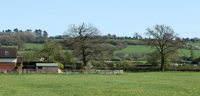
The hill is covered in lush greenery, with patches of woodland and open grassland. It is a popular spot for outdoor enthusiasts, offering opportunities for walking, hiking, and birdwatching. The diverse flora and fauna found on Wick Hill make it a haven for wildlife, including various species of birds, butterflies, and wildflowers.
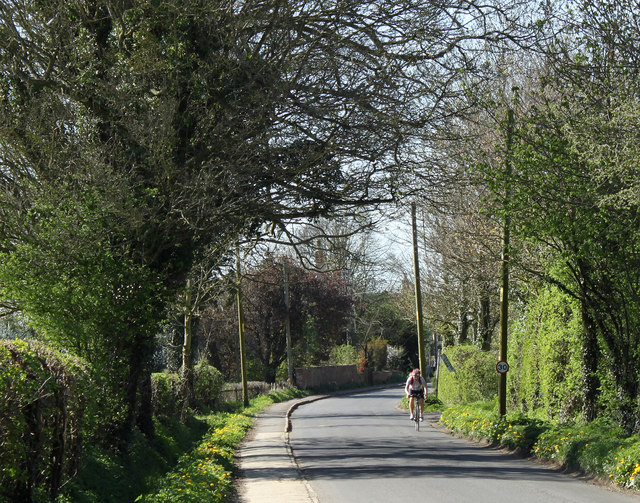
Wick Hill is easily accessible by foot or by car, with several footpaths and bridleways crisscrossing the area. The hill provides a peaceful escape from the hustle and bustle of urban life, allowing visitors to immerse themselves in the natural beauty of the Wiltshire countryside.
In conclusion, Wick Hill is a picturesque and historically significant landmark in Wiltshire, offering breathtaking views, diverse wildlife, and opportunities for outdoor activities. It is a must-visit destination for nature lovers and history enthusiasts alike.
If you have any feedback on the listing, please let us know in the comments section below.
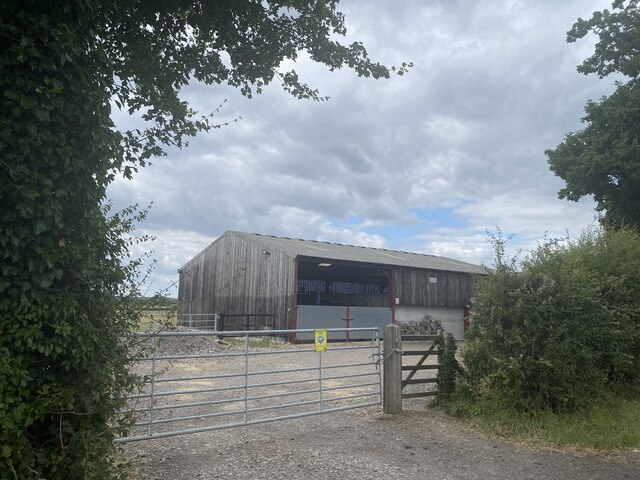
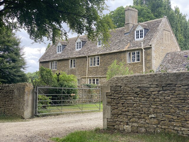
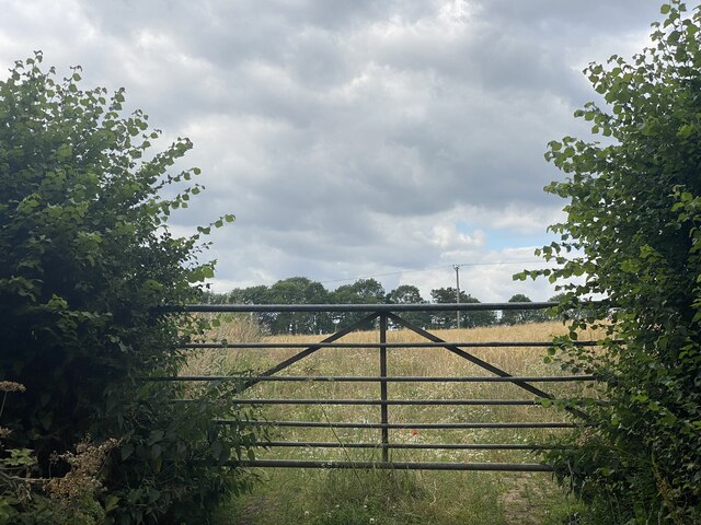
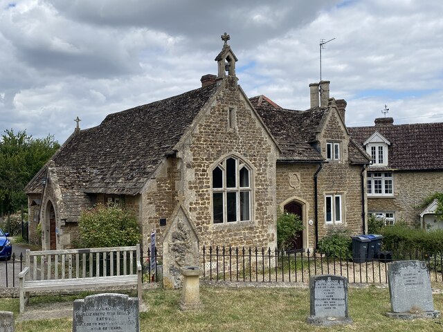
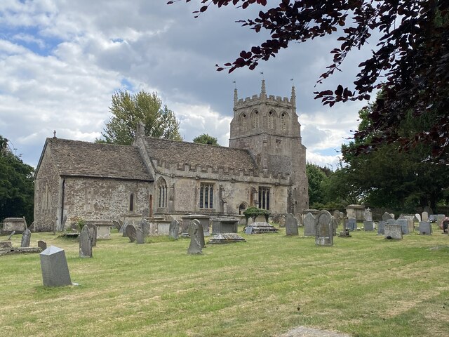
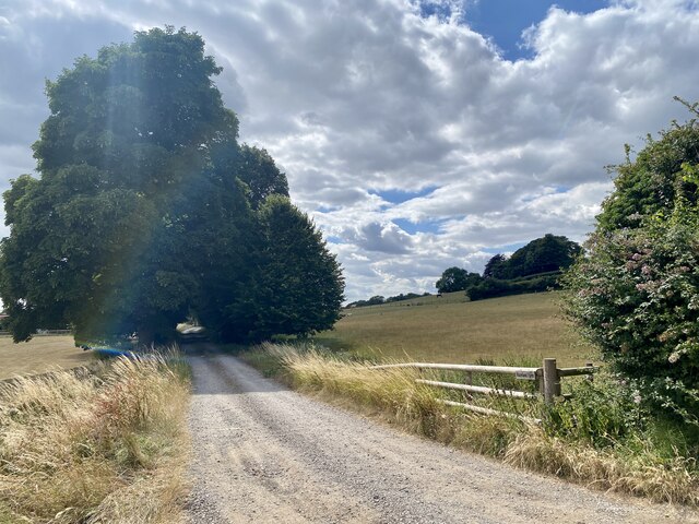
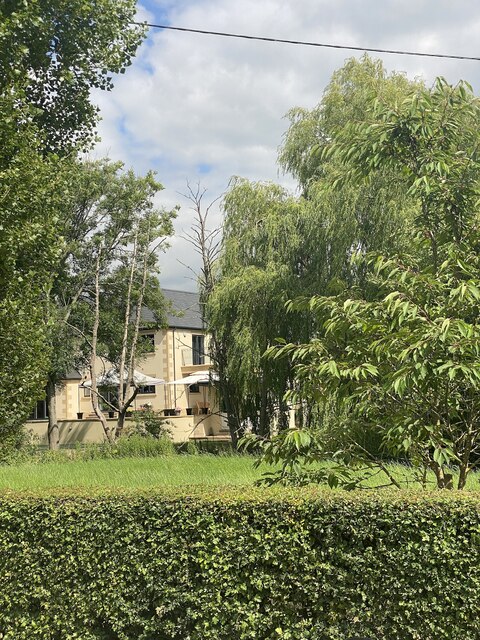
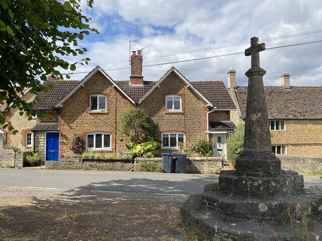
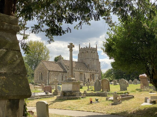
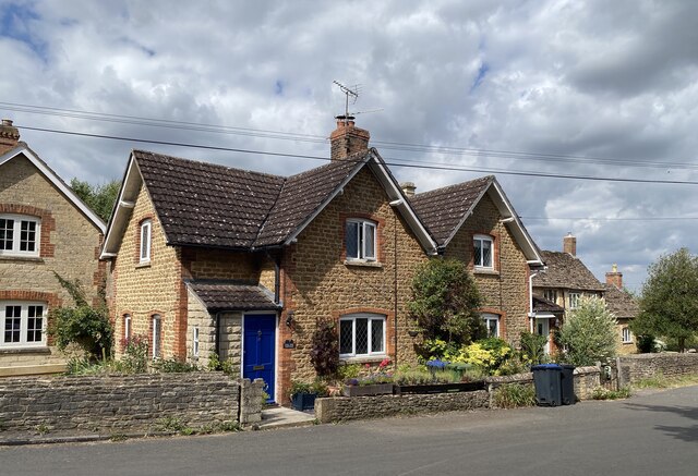
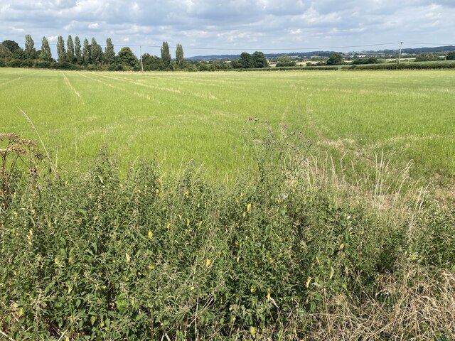
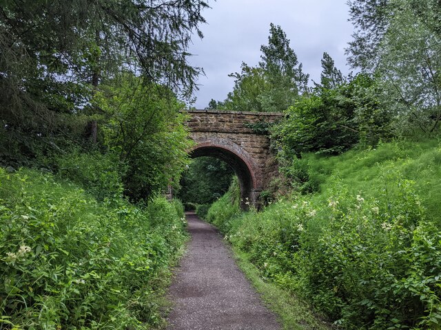
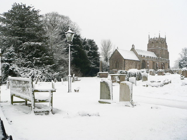
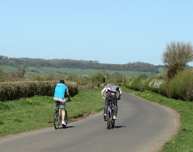
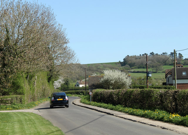
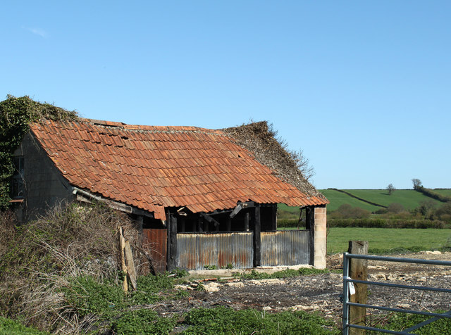
Wick Hill Images
Images are sourced within 2km of 51.464236/-2.0397388 or Grid Reference ST9773. Thanks to Geograph Open Source API. All images are credited.
Wick Hill is located at Grid Ref: ST9773 (Lat: 51.464236, Lng: -2.0397388)
Unitary Authority: Wiltshire
Police Authority: Wiltshire
What 3 Words
///mount.broken.chaos. Near Bremhill, Wiltshire
Nearby Locations
Related Wikis

Bremhill
Bremhill is a village and civil parish in Wiltshire, England. The village is about 1.6 miles (2.6 km) northwest of Calne and 4 miles (6.4 km) east of Chippenham...

East Tytherton
East Tytherton is a hamlet in the civil parish of Bremhill in the ceremonial county of Wiltshire, England. Its nearest town is Chippenham, which lies approximately...

Bencroft Hill Meadows
Bencroft Hill Meadows (grid reference ST962732) is a 5.1 hectare biological Site of Special Scientific Interest some 3 miles (5 km) to the east of the...

Charlcutt
Charlcutt is a hamlet in the county of Wiltshire, England, 3 miles (4.8 km) northwest of Calne. It is part of the civil parish of Bremhill. Charlcutt...
Fisher's Brook
Fisher's Brook is a hamlet in Calne Without parish, Wiltshire, England, with a population of approximately 25. It consists of a small number of houses...
Stanley Bridge Halt railway station
Stanley Bridge Halt was a railway station on the Great Western Railway's branch line from Chippenham to Calne. Facilities were a wooden platform with a...

Tytherton Lucas
Tytherton Lucas is a hamlet in the civil parish of Bremhill in the ceremonial county of Wiltshire, England. Its nearest town is Chippenham, which lies...

Ratford
Ratford is a hamlet near Calne in the county of Wiltshire, England, with a population of approximately 50. It lies around 0.7 miles (1 km) north of the...
Nearby Amenities
Located within 500m of 51.464236,-2.0397388Have you been to Wick Hill?
Leave your review of Wick Hill below (or comments, questions and feedback).