Bird Nest Hill

Hill, Mountain in Yorkshire

England

Bird Nest Hill

Old Boundary Marker on White Holme Moss, Todmorden Parish Parish Boundary Marker in parish of Todmorden (Calderdale District), White Holme Moss, 200 metres South of confluence of Little Moor Clough and Turvin Clough.

Surveyed

Milestone Society National ID: YW_TODRIP02pb.
Old Boundary Marker on White Holme Moss, Todmorden Parish Credit: Milestone Society

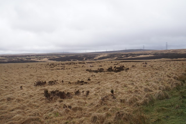
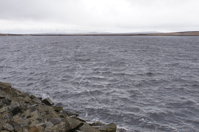
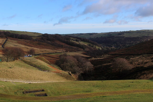
Bird Nest Hill is a prominent hill located in the Yorkshire Dales, a picturesque region in northern England. Situated in the county of Yorkshire, this hill is part of the larger Pennine Range, which stretches across the north of England. With an elevation of approximately 426 meters (1,398 feet), Bird Nest Hill offers breathtaking panoramic views of the surrounding countryside.

The hill gets its name from the abundance of bird nests found in the area, particularly those of the local bird species, such as sparrows, swallows, and finches. This natural habitat attracts birdwatchers and nature enthusiasts from far and wide, who come to observe and appreciate the diverse avian population.

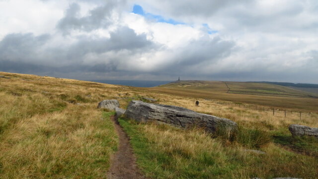
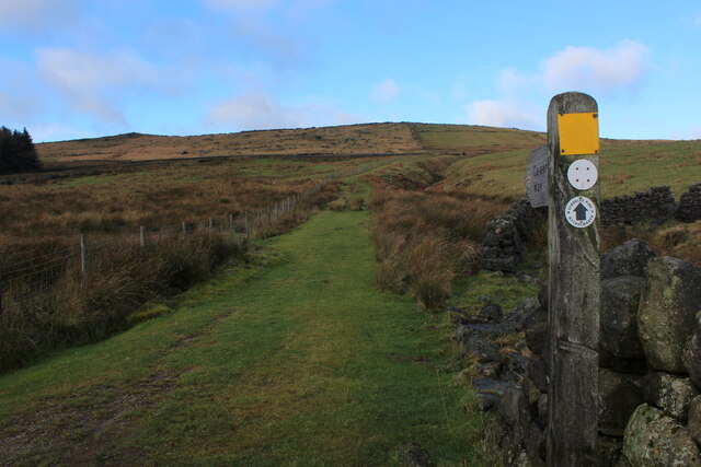
Bird Nest Hill is a popular destination for hikers and outdoor enthusiasts due to the various walking trails that meander through its slopes. The well-maintained paths cater to both beginner and experienced hikers, offering opportunities to explore the scenic beauty of the Yorkshire countryside. Additionally, the hill is home to a diverse range of flora and fauna, including wildflowers, mosses, and small mammals.

Aside from its natural attractions, Bird Nest Hill holds historical significance as well. The area surrounding the hill is dotted with ancient burial mounds and remnants of Iron Age settlements, adding an air of mystery and intrigue to the landscape.

Overall, Bird Nest Hill is a captivating destination that offers a perfect blend of natural beauty, wildlife, and historical charm. It continues to be a must-visit spot for those seeking an escape into Yorkshire's idyllic countryside.

If you have any feedback on the listing, please let us know in the comments section below.

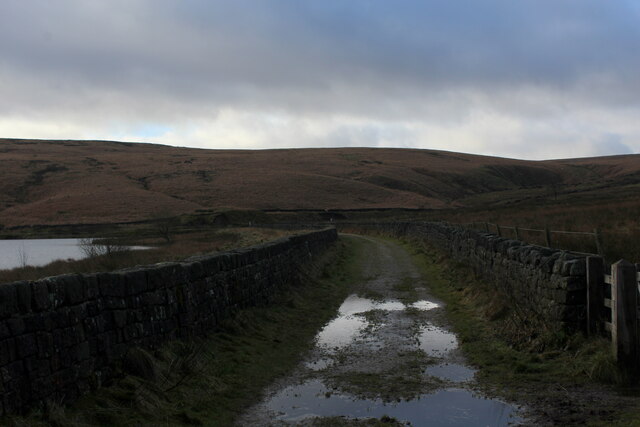
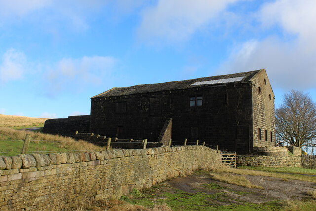
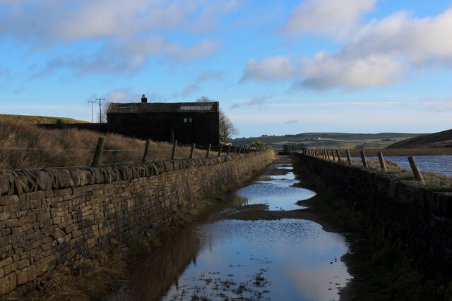
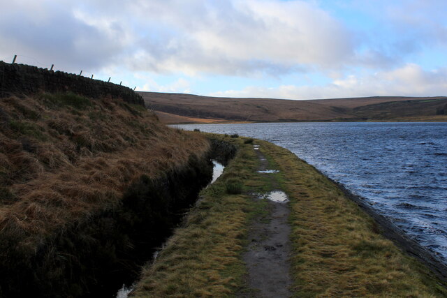
Bird Nest Hill Images

Images are sourced within 2km of 53.692216/-2.0417894 or Grid Reference SD9721. Thanks to Geograph Open Source API. All images are credited.

Old Boundary Marker on White Holme Moss, Todmorden Parish Parish Boundary Marker in parish of Todmorden (Calderdale District), White Holme Moss, 200 metres South of confluence of Little Moor Clough and Turvin Clough.

Surveyed

Milestone Society National ID: YW_TODRIP02pb.
Old Boundary Marker on White Holme Moss, Todmorden Parish
Parish Boundary Marker in parish of Todmorden (Calderdale District), White Holme Moss, 200 metres South of confluence of Little Moor Clough and Turvin Clough. Surveyed Milestone Society National ID: YW_TODRIP02pb.
Old Boundary Marker on White Holme Moss, Littleborough Parish Parish Boundary Marker in parish of Littleborough (Rochdale District), White Holme Moss - Round Hills, North-West  of White Holme Reservoir.

Surveyed

Milestone Society National ID: LA_LITRIP28pb
Old Boundary Marker on White Holme Moss, Littleborough Parish
Parish Boundary Marker in parish of Littleborough (Rochdale District), White Holme Moss - Round Hills, North-West of White Holme Reservoir. Surveyed Milestone Society National ID: LA_LITRIP28pb
Old Boundary Marker on White Holme Moss, Littleborough parish Parish Boundary Marker in parish of Littleborough (Rochdale District), White Holme Moss - Round Hills, North-West of White Holme Reservoir.

Surveyed

Milestone Society National ID: LA_LITRIP27pb
Old Boundary Marker on White Holme Moss, Littleborough parish
Parish Boundary Marker in parish of Littleborough (Rochdale District), White Holme Moss - Round Hills, North-West of White Holme Reservoir. Surveyed Milestone Society National ID: LA_LITRIP27pb
Little Moor Pennine moorland below White Holme Reservoir, with Blackstone Edge in the distance.
Little Moor
Pennine moorland below White Holme Reservoir, with Blackstone Edge in the distance.
Track by White Holme Reservoir These water board tracks continue for some distance with little variety.
Track by White Holme Reservoir
These water board tracks continue for some distance with little variety.
White Holme Reservoir One of a series of reservoirs on top of the Pennines.
White Holme Reservoir
One of a series of reservoirs on top of the Pennines.
White Holme Reservoir
Trig Point at Little Holder Stones Surprisingly, access across the moor from Stony Edge (above Warland Reservoir) was easier than expected to reach this trig point. I just staedy to the high ground where there was a faint path in places.
Trig Point at Little Holder Stones
Surprisingly, access across the moor from Stony Edge (above Warland Reservoir) was easier than expected to reach this trig point. I just staedy to the high ground where there was a faint path in places.
Holder Stones above Langfield Common These three rock outcrops stand out on this rather featureless barren moorland. My approach was from the trig point to the south and a faint path links the two locations. I continued north picking up a faint path but you do need to jump across the leat before joining the permissive path. It's easier done going north.
Holder Stones above Langfield Common
These three rock outcrops stand out on this rather featureless barren moorland. My approach was from the trig point to the south and a faint path links the two locations. I continued north picking up a faint path but you do need to jump across the leat before joining the permissive path. It's easier done going north.
Leat path between Holder Stones & Withens Clough Head
Pennine Way descending from Bald Scout Hill
Calderdale Way ascending away from Withens Clough Reservoir The long distance footpath initially heading north, before swinging west towards Withens Gate on the Pennine Way
Calderdale Way ascending away from Withens Clough Reservoir
The long distance footpath initially heading north, before swinging west towards Withens Gate on the Pennine Way
Withens New Road Track beside the western end of Withens Clough Reservoir as darkness closes in.
Withens New Road
Track beside the western end of Withens Clough Reservoir as darkness closes in.
Large Outbuilding beside Pasture House The outbuilding is larger than the farmhouse itself, which is concealed from view behind this bulky edifice.
The complex is located beside Withens Clough Reservoir, and seems to be the only sign of habitation in the vicinity.
The outbuilding appears to be a converted barn in need of some repair.
Passed by on the Calderdale Way long distance footpath.
Large Outbuilding beside Pasture House
The outbuilding is larger than the farmhouse itself, which is concealed from view behind this bulky edifice. The complex is located beside Withens Clough Reservoir, and seems to be the only sign of habitation in the vicinity. The outbuilding appears to be a converted barn in need of some repair. Passed by on the Calderdale Way long distance footpath.
Flooded New Withens Road Approaching Pasture House on the Calderdale Way long distance footpath beside Withens Clough Reservoir
Flooded New Withens Road
Approaching Pasture House on the Calderdale Way long distance footpath beside Withens Clough Reservoir
View from Atop the Dam Wall of Withens Clough Reservoir Looking down Withens Clough towards Cragg Vale
View from Atop the Dam Wall of Withens Clough Reservoir
Looking down Withens Clough towards Cragg Vale
Beside Withens Clough Reservoir
Wool Pack Stones The main stone has the shape of a filled wool sack bale
Wool Pack Stones
The main stone has the shape of a filled wool sack bale
Show me another place!

Bird Nest Hill is located at Grid Ref: SD9721 (Lat: 53.692216, Lng: -2.0417894)

Division: West Riding

Unitary Authority: Calderdale

Police Authority: West Yorkshire

What 3 Words

///dampen.blubber.picturing. Near Walsden, West Yorkshire

Nearby Locations

Bird Nest Hill Blake Moor

Related Wikis

Mankinholes

Mankinholes is a hamlet in the Metropolitan Borough of Calderdale, in West Yorkshire, England. It is situated in the Pennines and the nearest town is Todmorden...

Stoodley Pike

Stoodley Pike is a 1,300-foot (400 m) hill in the south Pennines in West Yorkshire in northern England. It is noted for the 121-foot (37 m) Stoodley Pike...

Cragg Vale

Cragg Vale is a village in Calderdale, West Yorkshire, England, located south of Mytholmroyd on the B6138 road which joins the A58 and the A646. The village...

Summit Tunnel

Summit Tunnel in England is one of the world's oldest railway tunnels. It was constructed between 1838 and 1841 by the Manchester and Leeds Railway Company...

Nearby Amenities

Located within 500m of 53.692216,-2.0417894
Natural: stone
Lat/Long: 53.6904048/-2.0468359
Natural: stone
Lat/Long: 53.6901205/-2.0467635
Natural: stone
Lat/Long: 53.6901761/-2.048067
Natural: stone
Lat/Long: 53.6899712/-2.0478471
Natural: stone
Lat/Long: 53.6903699/-2.0484265
Natural: stone
Lat/Long: 53.6902999/-2.0478316
Natural: stone
Lat/Long: 53.6901807/-2.0470256
Natural: stone
Lat/Long: 53.6901388/-2.0469301
The data included in this document is from www.openstreetmap.org. The data is made available under ODbL.

Have you been to Bird Nest Hill?

Leave your review of Bird Nest Hill below (or comments, questions and feedback).