Kenton Green

Settlement in Gloucestershire Stroud

England

Kenton Green

Road near Hardwicke Farm
Road near Hardwicke Farm Credit: Sarah Charlesworth

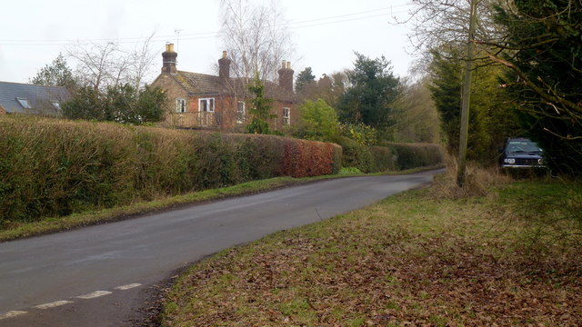
Kenton Green is a charming village located in the county of Gloucestershire, England. Situated in the picturesque Cotswolds region, this idyllic village is known for its stunning natural beauty and peaceful ambiance. With a population of around 500 residents, Kenton Green offers a close-knit community feel and a tranquil escape from the bustling city life.

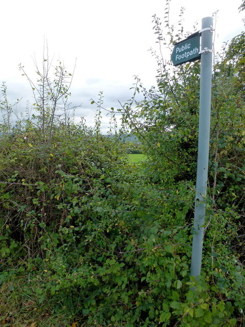
Surrounded by rolling hills and lush green landscapes, Kenton Green is a haven for nature enthusiasts and outdoor lovers. The village is dotted with scenic walking trails and cycling routes, allowing visitors to explore the stunning countryside at their own pace. The nearby Cotswold Way offers breathtaking panoramic views of the surrounding area, making it a popular attraction for hikers and photographers.

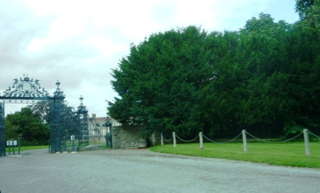
Kenton Green is also home to a number of historic buildings and landmarks. The village church, St. Mary's, dates back to the 12th century and is a notable architectural gem. The village square is adorned with charming cottages and traditional English gardens, adding to the village's quaint charm.

Although small in size, Kenton Green boasts a strong sense of community spirit. The village hosts various events and activities throughout the year, including summer fairs, community markets, and festivals. Residents and visitors can also enjoy a range of amenities, including a local pub, a village shop, and a post office.

Overall, Kenton Green is a hidden gem in the heart of Gloucestershire, offering a peaceful retreat and a chance to immerse oneself in the beauty of the English countryside.

If you have any feedback on the listing, please let us know in the comments section below.
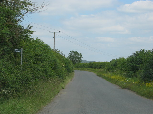
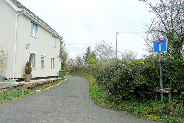
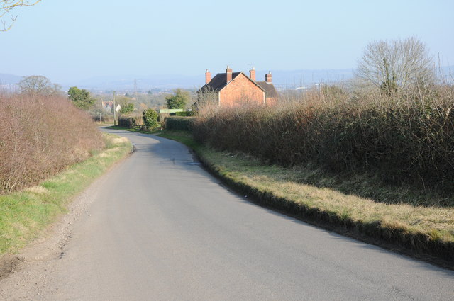
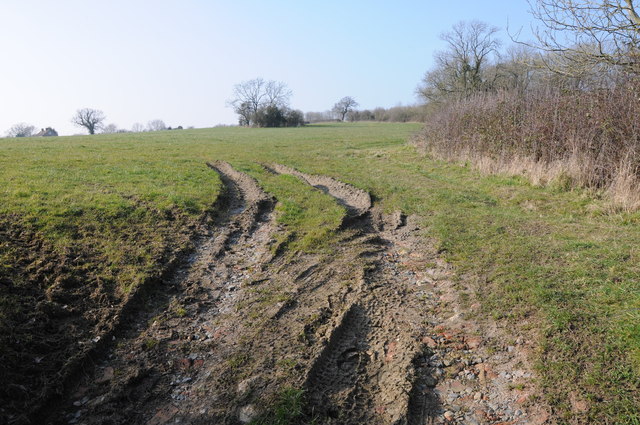
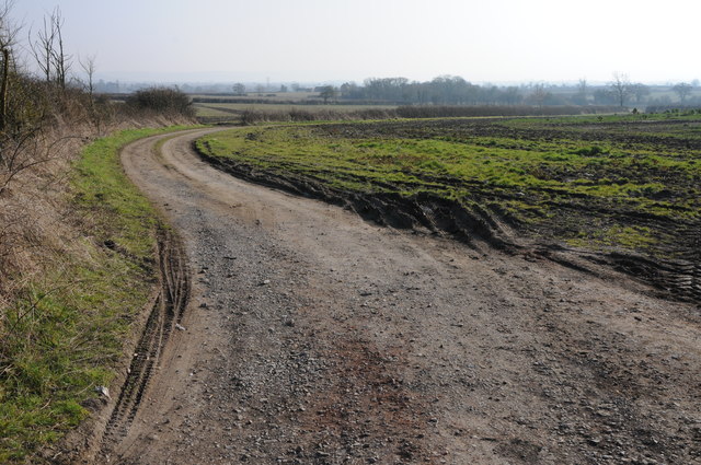
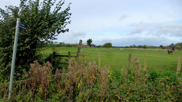
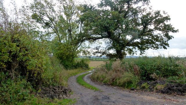
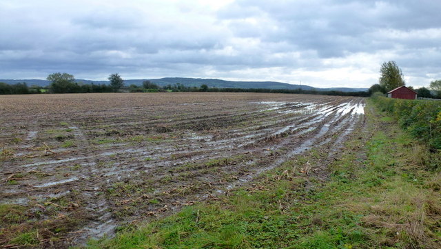
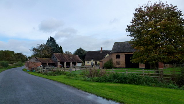
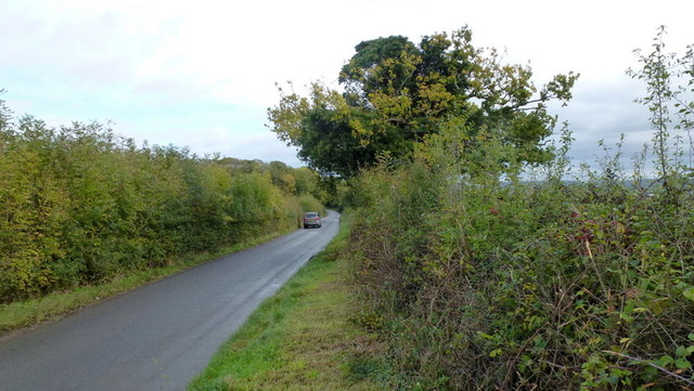
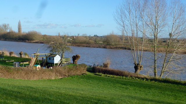
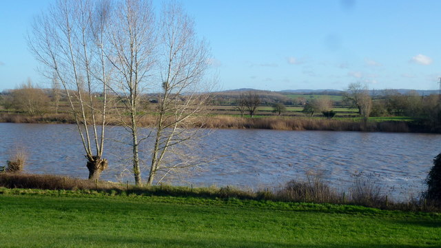
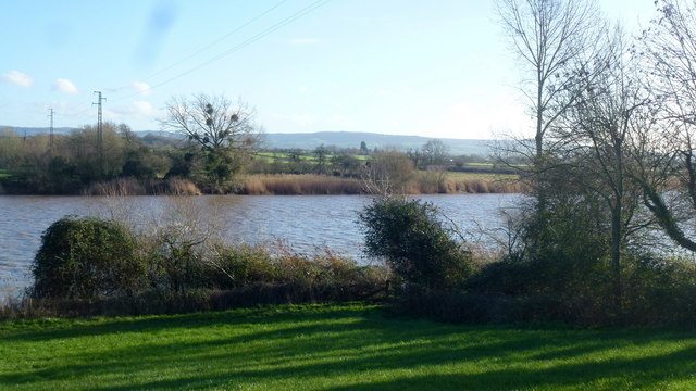
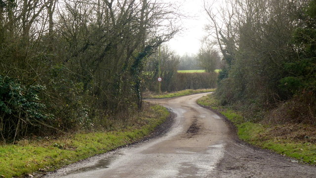
Kenton Green Images

Images are sourced within 2km of 51.824142/-2.3351186 or Grid Reference SO7714. Thanks to Geograph Open Source API. All images are credited.

Road near Hardwicke Farm
Dead-end lane at Whitings Allows access to fields and orchards by the Severn.
Dead-end lane at Whitings
Allows access to fields and orchards by the Severn.
Country road near Hardwicke Country road at Grove End near Hardwicke.
Country road near Hardwicke
Country road at Grove End near Hardwicke.
Field near Grove End, Hardwicke
Farm track, Longney This farm track, with no right of way, provides access to farmland at Longney.
Farm track, Longney
This farm track, with no right of way, provides access to farmland at Longney.
Manor Farm, Longney The impressive farmhouse faces the road from Epney at the south end of the village.
Manor Farm, Longney
The impressive farmhouse faces the road from Epney at the south end of the village.
Footpath and paddock East of Longney, looking north.
Footpath and paddock
East of Longney, looking north.
Track and footpath Access to Severn floodplain farmland.
Track and footpath
Access to Severn floodplain farmland.
Wet autumnal farmland A footpath crosses the field here - be prepared for plenty mud!
Wet autumnal farmland
A footpath crosses the field here - be prepared for plenty mud!
Madam's End farm Next to the road to Quedgeley.
Madam's End farm
Next to the road to Quedgeley.
Grove End road Looking east from Grove End Villas towards Quedgeley.
Grove End road
Looking east from Grove End Villas towards Quedgeley.
Overgrown hedge at a stile Well the stile can hardly be seen at this access point to a footpath at Grove End Villas.
Overgrown hedge at a stile
Well the stile can hardly be seen at this access point to a footpath at Grove End Villas.
Entrance to Elmore Court View of gated entrance to Elmore Court from lane at Elmore.
Entrance to Elmore Court
View of gated entrance to Elmore Court from lane at Elmore.
The Severn at Bollow Bank, 1 A fine wooden garden construction belonging to the property off camera to the left.
The Severn at Bollow Bank, 1
A fine wooden garden construction belonging to the property off camera to the left.
The Severn at Bollow Bank, 2 Looking east, straight across the big river in its tidal phase.
The Severn at Bollow Bank, 2
Looking east, straight across the big river in its tidal phase.
The Severn at Bollow Bank, 3 Beyond the river in the far distance is the Cotswold scarp.
The Severn at Bollow Bank, 3
Beyond the river in the far distance is the Cotswold scarp.
Dead end lane to Velthouse A branch to the left heads south-east to Keeper's Lodge.
Dead end lane to Velthouse
A branch to the left heads south-east to Keeper's Lodge.
Kenton Green, Elmore, 1 By the junction with Velthouse Lane, looking east towards Gloucester.
Kenton Green, Elmore, 1
By the junction with Velthouse Lane, looking east towards Gloucester.
Show me another place!

Kenton Green is located at Grid Ref: SO7714 (Lat: 51.824142, Lng: -2.3351186)

Administrative County: Gloucestershire

District: Stroud

Police Authority: Gloucestershire

What 3 Words

///linen.satellite.supper. Near Frampton on Severn, Gloucestershire

Related Wikis

Longney

Longney is a village on the River Severn 5 miles south-west of Gloucester, Gloucestershire, England, within the parish of Longney and Epney. The parish...

Elmore, Gloucestershire

For other places with the same name, see Elmore (disambiguation). Elmore is a village and civil parish, in the Stroud district of Gloucestershire, England...

Walmore Common

Walmore Common (grid reference SO740162 & grid reference SO745150) is a 57.78-hectare (142.8-acre) nature reserve on the flood-plain of the River Severn...

St Nicholas Church, Hardwicke

Saint Nicholas Church is a grade I listed building located in Hardwicke, Gloucestershire. It practices Christianity through the Church of England denomination...

Nearby Amenities

Located within 500m of 51.824142,-2.3351186
Power: pole
Source: Bing
Lat/Long: 51.823102/-2.3324358
Power: pole
Source: Bing
Lat/Long: 51.8222264/-2.3408551
Power: pole
Source: Bing
Lat/Long: 51.8225713/-2.3344848
Power: pole
Source: Bing
Lat/Long: 51.8223958/-2.3377653
Power: pole
Source: Bing
Lat/Long: 51.8237055/-2.3301451
Landuse: farm
Note: This is not Velthouse farm. Velthouse Farm is in Longhope
Note Retag: CS #48756035
Lat/Long: 51.8250369/-2.328521
The data included in this document is from www.openstreetmap.org. The data is made available under ODbL.

Have you been to Kenton Green?

Leave your review of Kenton Green below (or comments, questions and feedback).