Kentra
Settlement in Argyllshire
Scotland
Kentra

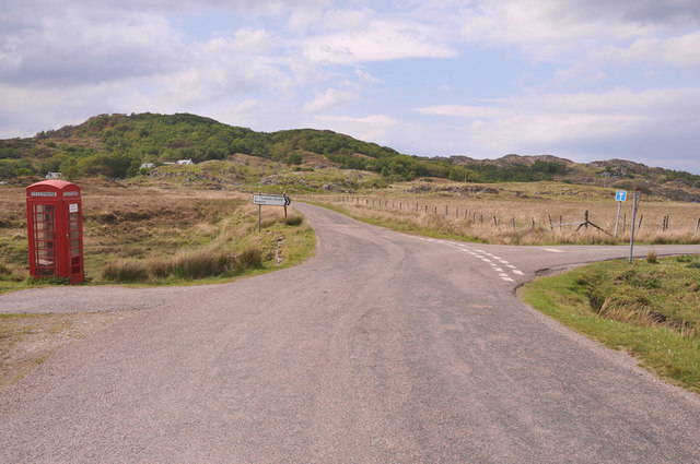
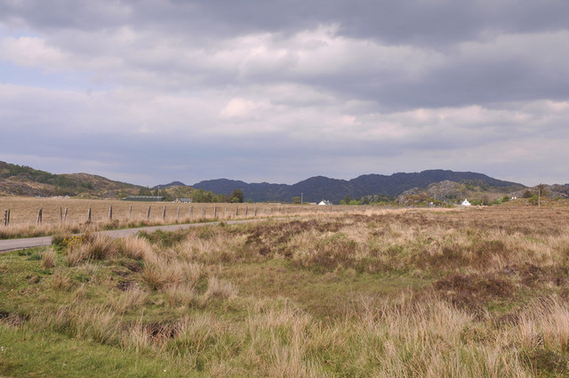
Kentra is a small coastal village located in the historic county of Argyllshire, in the western region of Scotland. Nestled on the picturesque shores of Loch Sunart, Kentra offers breathtaking views of the surrounding natural beauty. With a population of around 200 residents, it is a close-knit community that thrives on its peaceful and idyllic setting.
The village is known for its rich history, with evidence of human occupation dating back to prehistoric times. The remnants of ancient settlements, standing stones, and burial sites can still be found in the area, attracting historians and archaeologists alike.
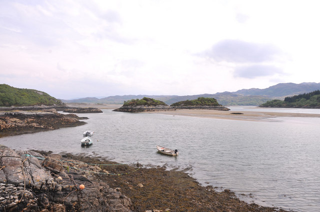
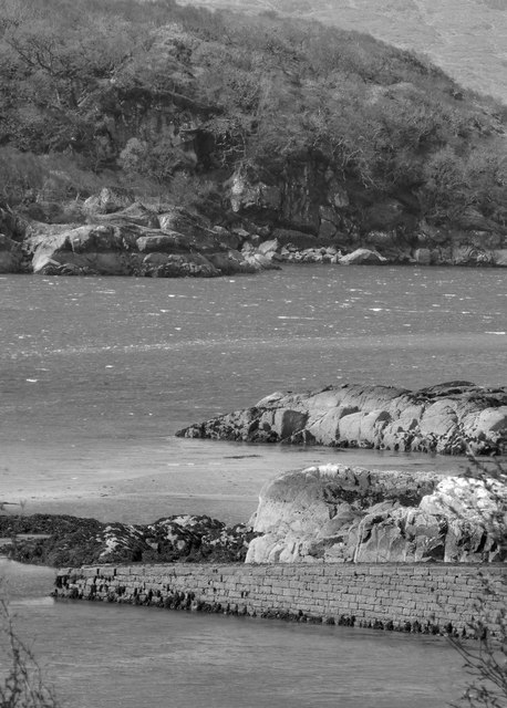
Kentra's economy is largely dependent on tourism and fishing. The village's proximity to Loch Sunart provides ample opportunities for water sports, fishing trips, and leisurely boat rides. Visitors can also explore the nearby nature reserves, which are home to a diverse range of wildlife, including otters, seals, and various bird species.
The village itself boasts a quaint charm, with traditional stone cottages and a small harbor filled with fishing boats. There is a local pub and a few small shops that cater to the needs of both residents and tourists. The community is proud of its strong sense of community spirit and often comes together for various events and festivals throughout the year.
In summary, Kentra is a hidden gem in Argyllshire, offering visitors a peaceful retreat amidst stunning natural landscapes, a glimpse into Scottish history, and the warm hospitality of its residents.
If you have any feedback on the listing, please let us know in the comments section below.
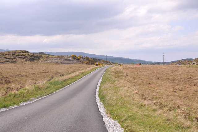
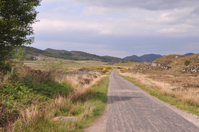
Kentra Images
Images are sourced within 2km of 56.754466/-5.8431101 or Grid Reference NM6569. Thanks to Geograph Open Source API. All images are credited.


Kentra is located at Grid Ref: NM6569 (Lat: 56.754466, Lng: -5.8431101)
Unitary Authority: Highland
Police Authority: Highlands and Islands
Also known as: Ceann Tragha
What 3 Words
///vines.meatball.rainy. Near Arisaig, Highland
Nearby Locations
Related Wikis
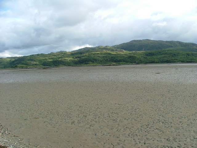
Kentra Bay
Kentra Bay, also known as the Singing Sands, is a remote tidal, 306° orientated, coastal embayment located on the northern shore of the Ardnamurchan peninsula...

Kentra
Kentra is a hamlet overlooking the east coast of Kentra Bay, on the north east end of the Ardnamurchan peninsula near Acharacle, Scottish Highlands. It...

Newton of Ardtoe
Newton of Ardtoe is a scattered crofting hamlet near Acharacle in Lochaber, Scottish Highlands and is in the council area of Highland.
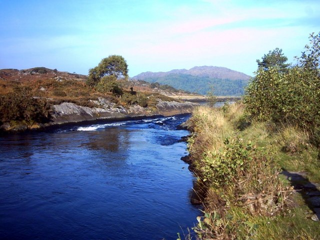
River Shiel
The River Shiel (Scottish Gaelic: Abhainn Seile) is a four kilometre long river in Acharacle, Highland. It flows out of the Loch Shiel into the sea at...
Nearby Amenities
Located within 500m of 56.754466,-5.8431101Have you been to Kentra?
Leave your review of Kentra below (or comments, questions and feedback).