Kenton Green

Wood, Forest in Gloucestershire Stroud

England

Kenton Green

River Severn at Stonebench, 1 The river is benign on this calm cold January afternoon.
River Severn at Stonebench, 1 Credit: Jonathan Billinger

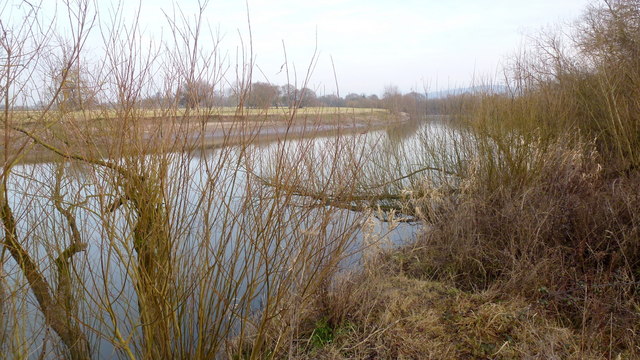
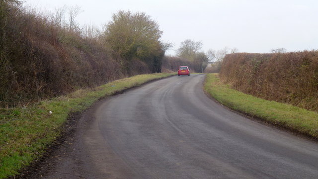
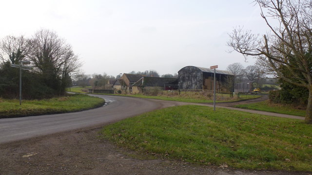
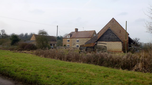
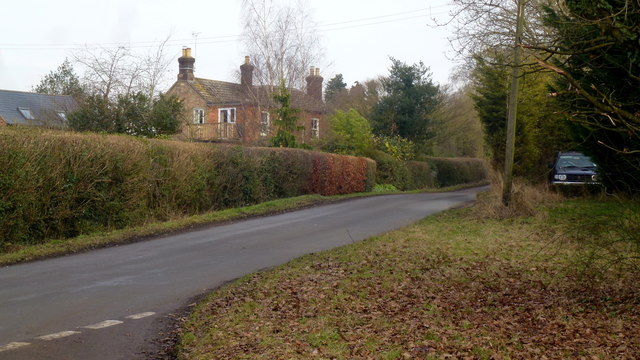
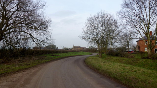
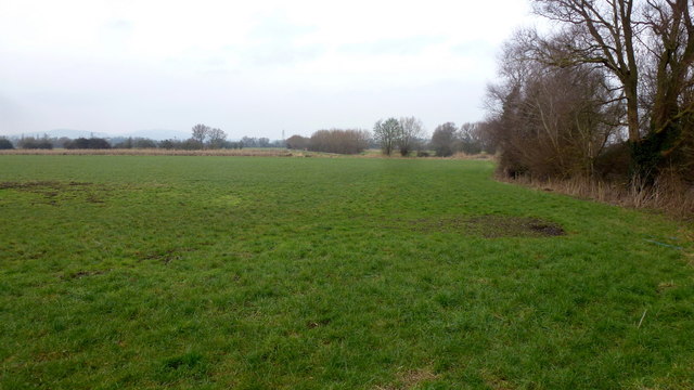
Kenton Green is a charming woodland area located in the county of Gloucestershire, England. Situated in the heart of the Forest of Dean, Kenton Green is renowned for its natural beauty and tranquil atmosphere. The area is predominantly covered in lush greenery, with tall trees and dense foliage enveloping the landscape.

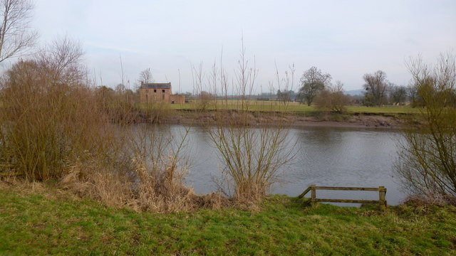
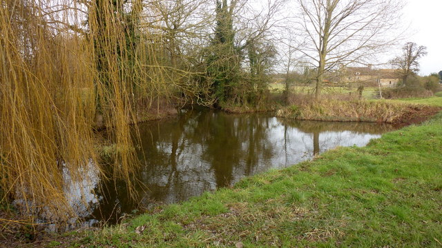
The woodland is home to a diverse range of flora and fauna, making it a haven for nature lovers and wildlife enthusiasts. Visitors can expect to encounter various species of birds, mammals, and insects as they explore the area. The enchanting sound of birdsong fills the air, creating a soothing and peaceful ambiance.

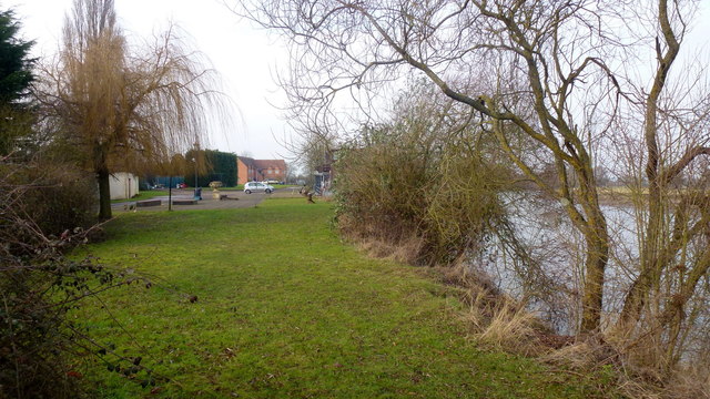
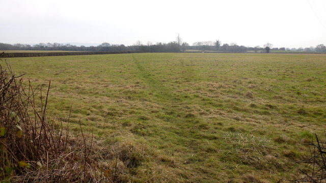
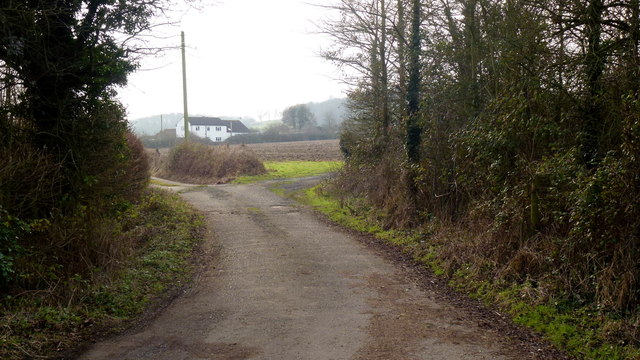
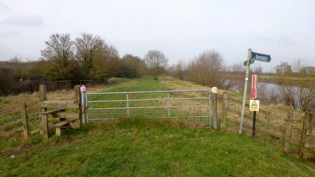
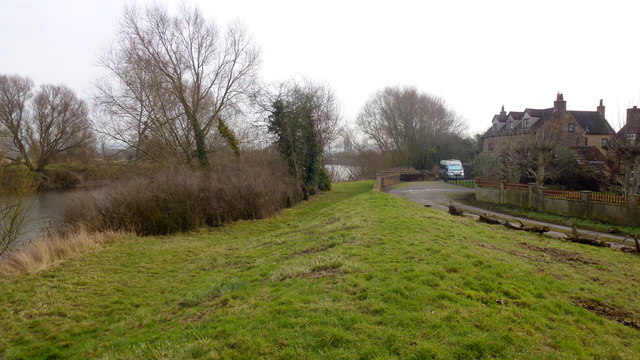
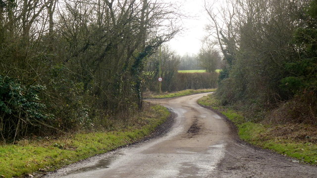
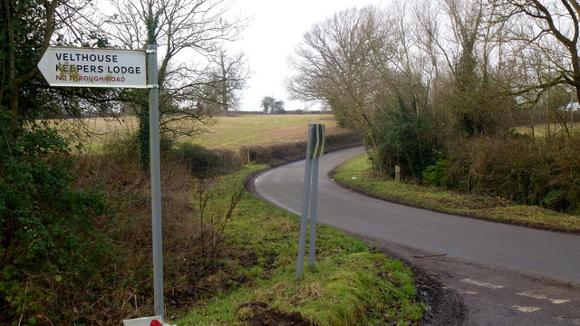
Kenton Green is a popular destination for outdoor activities such as hiking, cycling, and picnicking. There are numerous well-marked trails that meander through the woodland, offering breathtaking views and opportunities for exploration. The paths are suitable for all levels of fitness, making it an ideal location for families and individuals alike.

Within Kenton Green, there are several designated picnic areas where visitors can relax and enjoy the serenity of the surroundings. These areas are equipped with benches and tables, providing a perfect spot to unwind and appreciate the beauty of nature.

Overall, Kenton Green in Gloucestershire is a picturesque woodland that offers a serene retreat from the hustle and bustle of everyday life. With its stunning natural scenery and abundance of wildlife, it provides a fantastic opportunity to connect with nature and enjoy outdoor activities in a tranquil setting.

If you have any feedback on the listing, please let us know in the comments section below.

Kenton Green Images

Images are sourced within 2km of 51.831485/-2.3266112 or Grid Reference SO7714. Thanks to Geograph Open Source API. All images are credited.

River Severn at Stonebench, 1 The river is benign on this calm cold January afternoon.
River Severn at Stonebench, 1
The river is benign on this calm cold January afternoon.
River Severn at Stonebench, 2 Looking downstream by Stonebench House. The business here is groundworks equipment and hire.
River Severn at Stonebench, 2
Looking downstream by Stonebench House. The business here is groundworks equipment and hire.
Footpath to the Sharpness canal This path allows access to the Gloucester and Sharpness Canal towpath about 350m distant, from the Severn bank at Stonebench.
Footpath to the Sharpness canal
This path allows access to the Gloucester and Sharpness Canal towpath about 350m distant, from the Severn bank at Stonebench.
Track and footpath to Brookfield House The house can be seen in the distance.
Track and footpath to Brookfield House
The house can be seen in the distance.
Elmore Lane This road joins up the scattered farms and houses of the community within a big bend of the River Severn.
Elmore Lane
This road joins up the scattered farms and houses of the community within a big bend of the River Severn.
Severn Way LDF at Weir Green The path follows the embankment north, downstream.
Some wag has turned the sign to Elmore Back directly towards the river.
Severn Way LDF at Weir Green
The path follows the embankment north, downstream. Some wag has turned the sign to Elmore Back directly towards the river.
Looking across the Severn from Weir Green Highlay or Highley House is the ruin on the opposite bank.
Looking across the Severn from Weir Green
Highlay or Highley House is the ruin on the opposite bank.
Severn Way LDF at Weir Green Looking south, upstream, alongside houses just above the flood plain.
Severn Way LDF at Weir Green
Looking south, upstream, alongside houses just above the flood plain.
Elmore Lane at Weir Lane junction Looking west towards Elmore Farm.
Elmore Lane at Weir Lane junction
Looking west towards Elmore Farm.
Elmore Farm Plenty of barns for conversion here.
Elmore Farm
Plenty of barns for conversion here.
Ponds at Elmore Elmore Farm in the background. A willow to the left.
Ponds at Elmore
Elmore Farm in the background. A willow to the left.
Dead end lane to Velthouse A branch to the left heads south-east to Keeper's Lodge.
Dead end lane to Velthouse
A branch to the left heads south-east to Keeper's Lodge.
Kenton Green, Elmore, 1 By the junction with Velthouse Lane, looking east towards Gloucester.
Kenton Green, Elmore, 1
By the junction with Velthouse Lane, looking east towards Gloucester.
Kenton Green, Elmore, 2 Looking west towards Elmore church.
Kenton Green, Elmore, 2
Looking west towards Elmore church.
Footpath at Farley Corner. 1 The cultivator has been left in place ready for the next farming operation?
The path here heads east towards Elmore Court.
Footpath at Farley Corner. 1
The cultivator has been left in place ready for the next farming operation? The path here heads east towards Elmore Court.
Footpath at Farley Corner. 2 Path heads generally south towards Velthouse.
Footpath at Farley Corner. 2
Path heads generally south towards Velthouse.
Farley Corner Heads west towards Church Farm at Farley's End.
Farley Corner
Heads west towards Church Farm at Farley's End.
Meadow land at Lake Street, 1 Lake Street, glimpsed in the middle distance, crosses the floodplain to reach the riverside community of Elmore Back.
Meadow land at Lake Street, 1
Lake Street, glimpsed in the middle distance, crosses the floodplain to reach the riverside community of Elmore Back.
Show me another place!

Kenton Green is located at Grid Ref: SO7714 (Lat: 51.831485, Lng: -2.3266112)

Administrative County: Gloucestershire

District: Stroud

Police Authority: Gloucestershire

What 3 Words

///giant.vocal.frosted. Near Gloucester, Gloucestershire

Related Wikis

Elmore, Gloucestershire

For other places with the same name, see Elmore (disambiguation). Elmore is a village and civil parish, in the Stroud district of Gloucestershire, England...

Severn bore

The Severn bore is a tidal bore seen on the tidal reaches of the River Severn in south western England. It is formed when the rising tide moves into the...

Minsterworth

Minsterworth is a village in Gloucestershire, England. It lies on the border of the City of Gloucester, on the north bank of the River Severn (effectively...

Severn Vale School

Severn Vale School is a secondary school with academy status in Quedgeley, Gloucester, England. Its students are aged from 11 to 16. The headmaster is...

St Nicholas Church, Hardwicke

Saint Nicholas Church is a grade I listed building located in Hardwicke, Gloucestershire. It practices Christianity through the Church of England denomination...

Longney

Longney is a village on the River Severn 5 miles south-west of Gloucester, Gloucestershire, England, within the parish of Longney and Epney. The parish...

Severn FM

Severn FM is an internet radio station in the United Kingdom, which started broadcasting online in June 2011, and officially launched from its studio in...

St James Church, Quedgeley

St James Church is a Church of England church in School Lane, Quedgeley, Gloucester, Gloucestershire, England. It was designated as a Grade II listed building...

Nearby Amenities

Located within 500m of 51.831485,-2.3266112
Bus Stop
Kenton Green
Naptan AtcoCode: 1600GLS1025
Naptan Bearing: N
Naptan CommonName: Kenton Green
Naptan NaptanCode: gloatdwg
Naptan Street: Longney Rd
Naptan Verified: no
Source: naptan_import
Lat/Long: 51.8326352/-2.327619
Bus Stop
Kenton Green
Naptan AtcoCode: 1600GLS1026
Naptan Bearing: S
Naptan CommonName: Kenton Green
Naptan NaptanCode: gloatdwj
Naptan Street: Longney Rd
Naptan Verified: no
Source: naptan_import
Lat/Long: 51.8329772/-2.3275199
Kenton Green
Place: hamlet
Lat/Long: 51.8315746/-2.3261032
Power: pole
Lat/Long: 51.8326325/-2.3272107
Power: pole
Source: Bing
Lat/Long: 51.83264/-2.3248436
Power: pole
Source: Bing
Lat/Long: 51.8326764/-2.3277846
Power: pole
Source: Bing
Lat/Long: 51.8327764/-2.3238681
Power: pole
Lat/Long: 51.8329513/-2.3290742
Power: pole
Source: Bing
Lat/Long: 51.8325878/-2.3265776
Ice Cream
Wholly Gelato
Addr City: Gloucester
Addr Postcode: GL2 3NT
Addr Village: Elmore
Fhrs Id: 1042280
Fixme Addr1: Barhouse Farm
Website: https://www.whollygelato.co.uk
Lat/Long: 51.8332719/-2.3204872
The data included in this document is from www.openstreetmap.org. The data is made available under ODbL.

Have you been to Kenton Green?

Leave your review of Kenton Green below (or comments, questions and feedback).