Foddering Hill
Hill, Mountain in Yorkshire Richmondshire
England
Foddering Hill
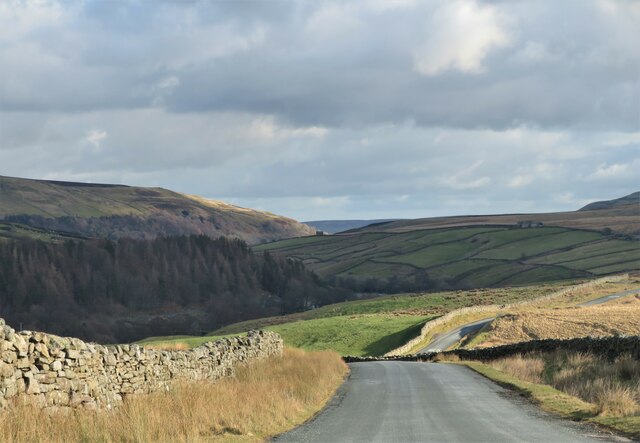
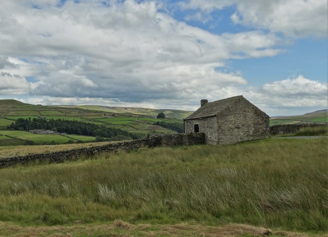
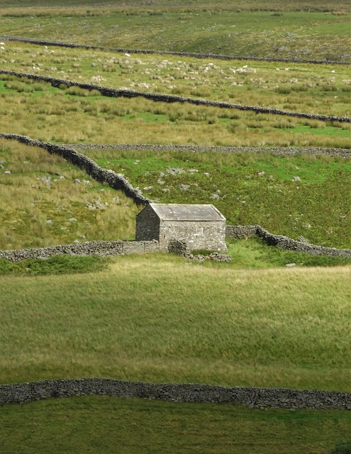
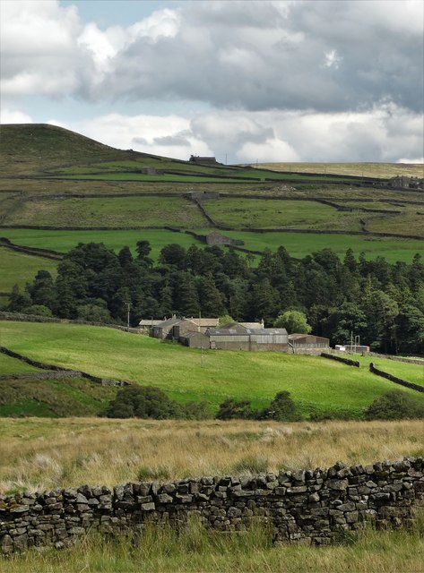
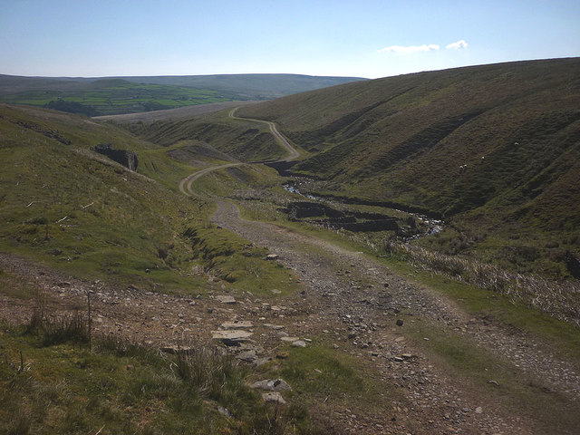
Foddering Hill is a prominent geological feature located in the county of Yorkshire, England. Situated in the heart of the Yorkshire Dales National Park, this hill is part of the Pennine range and offers breathtaking views of the surrounding countryside.
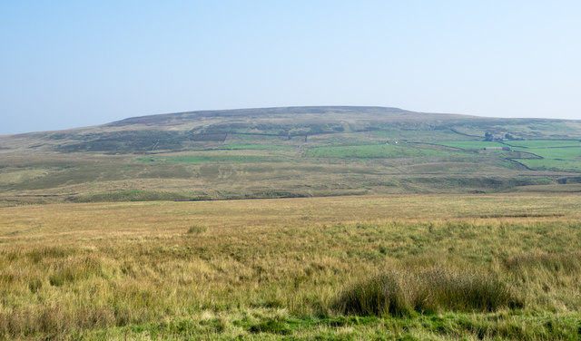
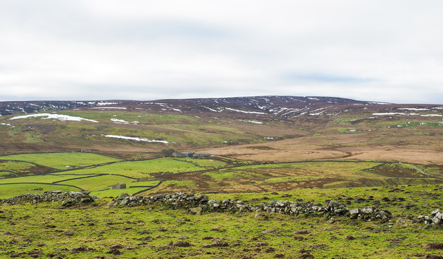
Rising to an elevation of approximately 450 meters (1476 feet), Foddering Hill is characterized by its gentle slopes and grassy terrain. It is primarily composed of Millstone Grit, a coarse sandstone that is prevalent in the region. This type of rock provides excellent drainage, allowing the hill to remain relatively dry even during wet weather.
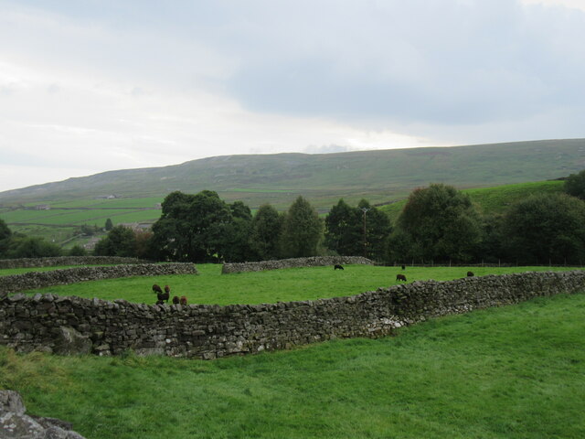
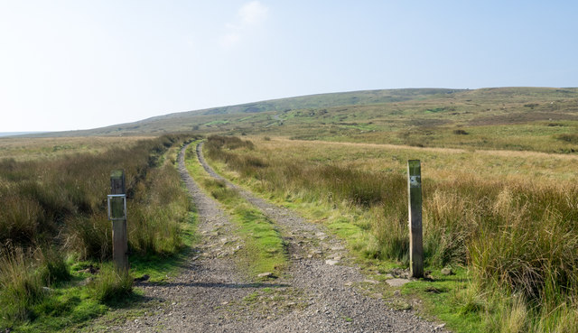
The hill is a popular destination for hikers and nature enthusiasts, offering a variety of trails and pathways that cater to different skill levels. The ascent to the summit is relatively gentle, making it accessible to individuals of all ages and fitness levels. Once at the top, visitors are rewarded with panoramic views of the picturesque Yorkshire Dales, with rolling hills, lush meadows, and scattered farmsteads stretching as far as the eye can see.
Due to its elevated position, Foddering Hill can experience cooler temperatures and more inclement weather compared to the surrounding lowlands. It is not uncommon to encounter gusty winds and changing conditions, so visitors are advised to come prepared with appropriate clothing and footwear.
Overall, Foddering Hill exemplifies the natural beauty and rugged charm of the Yorkshire Dales. With its stunning vistas and tranquil atmosphere, it continues to captivate visitors and locals alike, showcasing the enchanting landscapes that Yorkshire is renowned for.
If you have any feedback on the listing, please let us know in the comments section below.
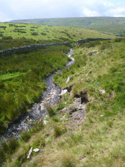
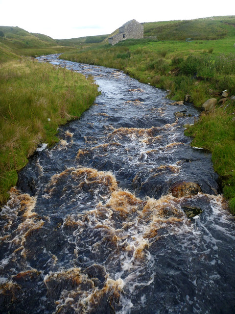
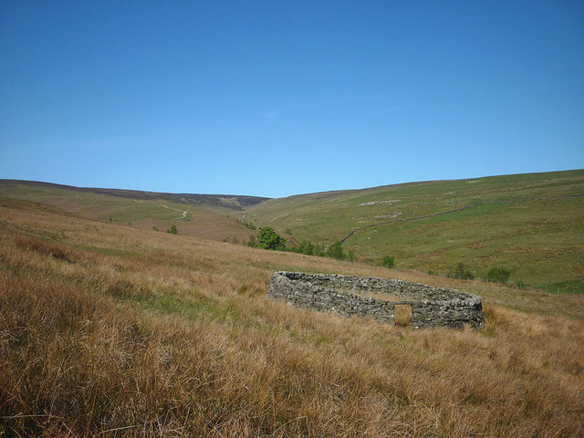
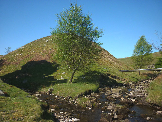
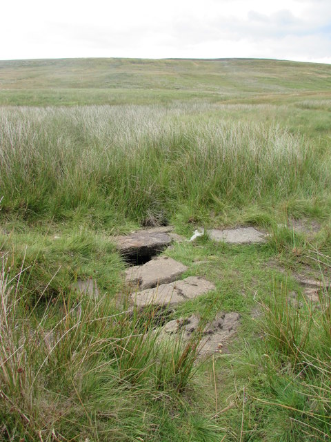
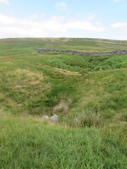
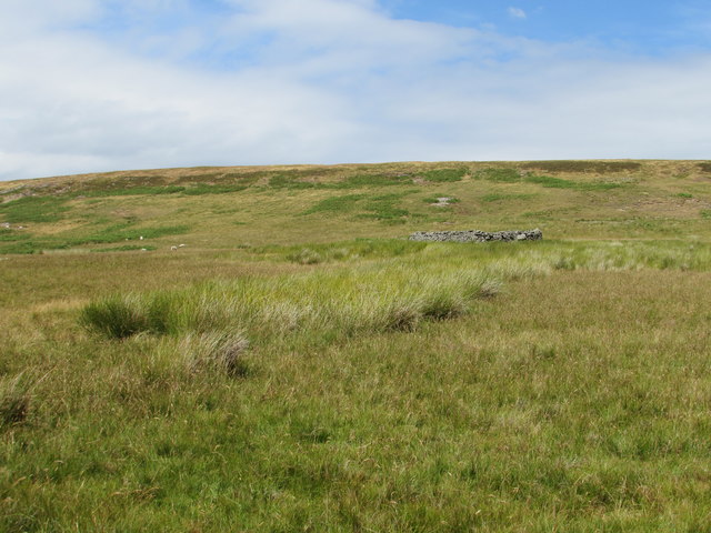
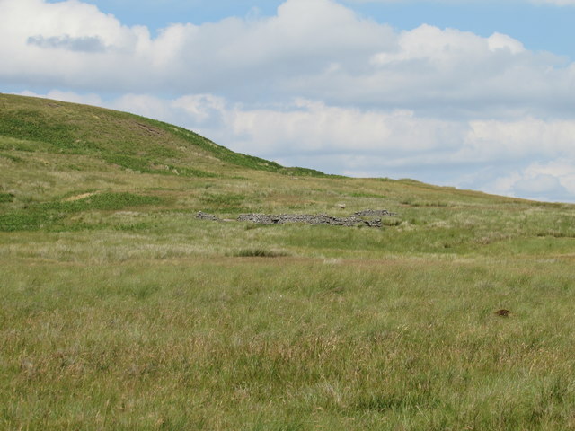
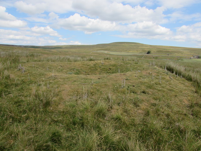
Foddering Hill Images
Images are sourced within 2km of 54.449763/-2.0523856 or Grid Reference NY9606. Thanks to Geograph Open Source API. All images are credited.
Foddering Hill is located at Grid Ref: NY9606 (Lat: 54.449763, Lng: -2.0523856)
Division: North Riding
Administrative County: North Yorkshire
District: Richmondshire
Police Authority: North Yorkshire
What 3 Words
///graphics.coil.hobbit. Near Bowes, Co. Durham
Nearby Locations
Related Wikis

Arkengarthdale
Arkengarthdale is a dale, or valley, on the east side of the Pennines in North Yorkshire, England. Running roughly north-west to south-east, it is the...

Whaw
Whaw is a hamlet in Arkengarthdale in North Yorkshire, England. It is one of few settlements in the dale and is one of the smallest. Its name derives from...

Arkle Beck Meadows, Whaw
Arkle Beck Meadows, Whaw (grid reference NY984041) is a 8.4 hectares (21 acres) biological Site of Special Scientific Interest (SSSI) at Whaw in Arkengarthdale...

Arkengarthdale Gunnerside and Reeth Moors
Arkengarthdale Gunnerside and Reeth Moors (grid reference NY935070 and SD970990) is a 7,634.72 hectares (18,865.8 acres) biological Site of Special Scientific...

Eskeleth
Eskeleth is a hamlet in Arkengarthdale in North Yorkshire, England. It is in the Yorkshire Dales National Park. Eskeleth sits 4 miles (6.4 km) from the...
Walney to Wear and Whitby Cycle Route
The Walney to Wear and Whitby Cycle Route (or W2W) is the name of a cross-country cycle route in Northern England. It runs from Walney Island in Cumbria...
National Cycle Route 70
National Cycle Network (NCN) Route 70 is a Sustrans National Route that runs from Walney Island in Cumbria to Sunderland. The route is fully open and signed...

Hoove
Hoove is a hill in the northern Yorkshire Dales in North Yorkshire, England, near the town of Barnard Castle in County Durham. Its elevation is 554 metres...
Nearby Amenities
Located within 500m of 54.449763,-2.0523856Have you been to Foddering Hill?
Leave your review of Foddering Hill below (or comments, questions and feedback).