White Hill
Hill, Mountain in Yorkshire Richmondshire
England
White Hill
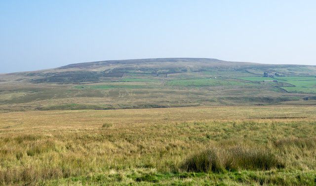
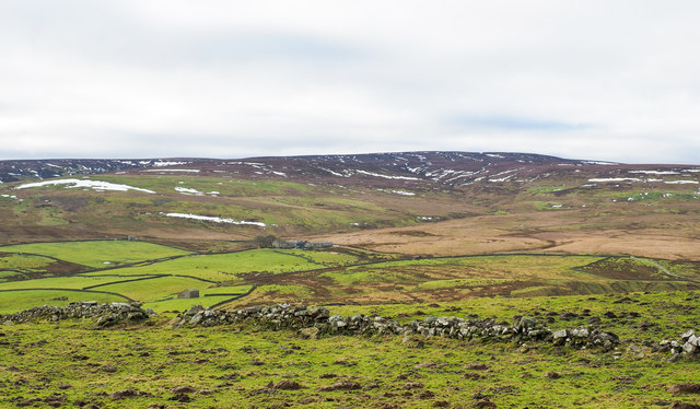
White Hill is a prominent geographical feature located in the county of Yorkshire, England. Situated within the North York Moors National Park, it is a notable hill/mountain that stands at an elevation of approximately 454 meters (1,489 feet) above sea level. The hill is part of the expansive North York Moors range and offers breathtaking views of the surrounding landscape.
White Hill is characterized by its distinct white limestone rock formations, which give it its name. These unique features contribute to the hill's visual appeal and add to the diversity of the North York Moors region. The hill is covered in heather and grasses, adding to its natural beauty and providing habitat for various wildlife species.
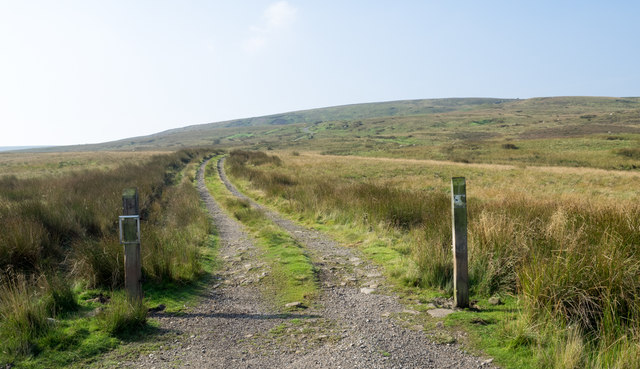
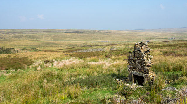
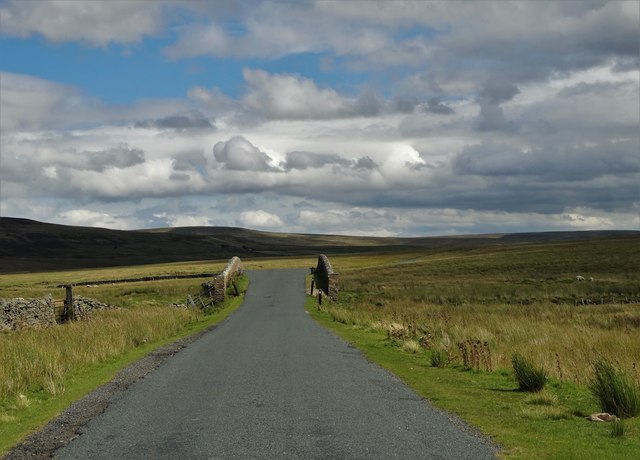
Access to White Hill is possible through several walking trails and paths that wind through the North York Moors. These routes allow visitors to explore the hill and its surroundings while enjoying the peacefulness and tranquility of the area. The hill is a popular destination for hikers and nature enthusiasts, offering a chance to immerse themselves in the stunning scenery and experience the rich biodiversity of the region.
Due to its elevated position, White Hill can experience changeable weather conditions, including strong winds and mist. It is advisable for visitors to come prepared with appropriate clothing and equipment when planning to ascend the hill.
Overall, White Hill is a remarkable geographical feature within the North York Moors National Park, offering visitors an opportunity to connect with nature and enjoy the beauty of the Yorkshire countryside.
If you have any feedback on the listing, please let us know in the comments section below.
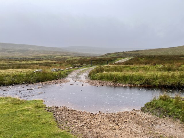
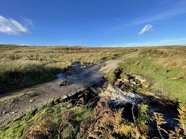
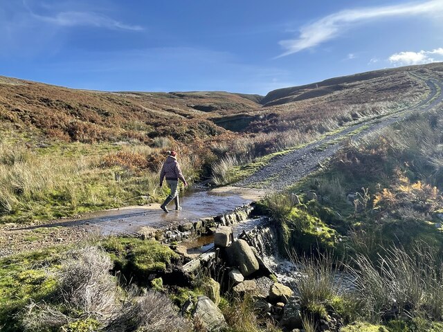
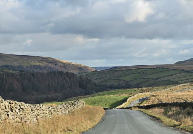
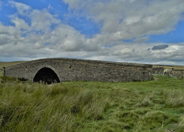
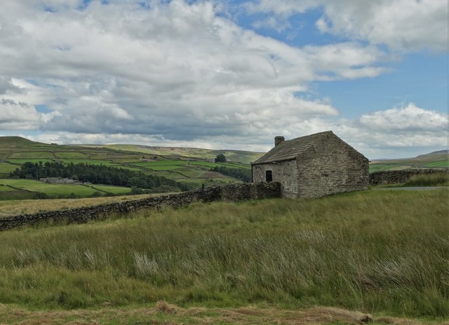
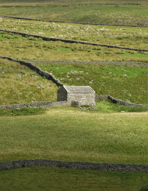
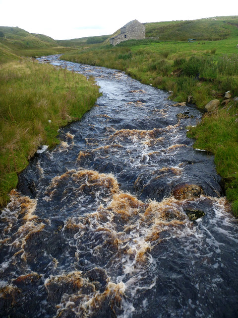
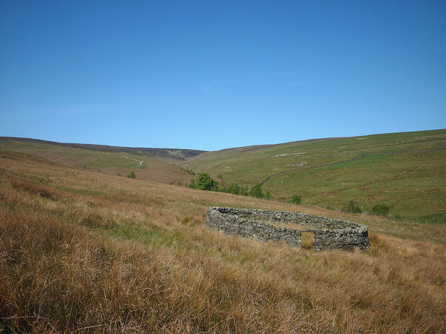
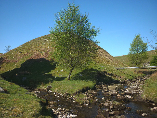
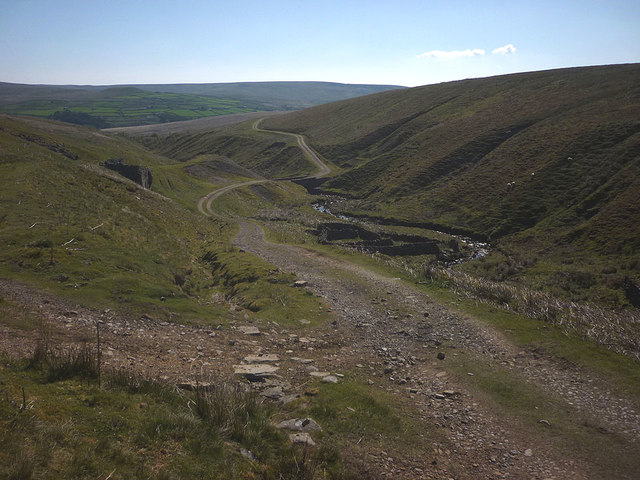
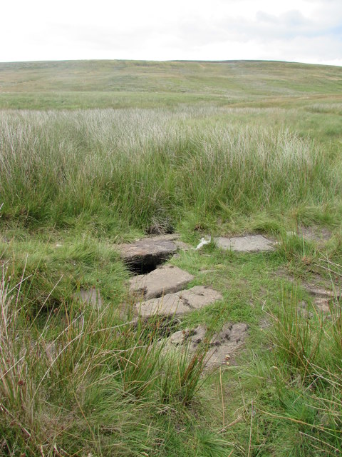
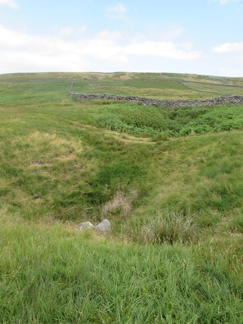
White Hill Images
Images are sourced within 2km of 54.451134/-2.0604687 or Grid Reference NY9606. Thanks to Geograph Open Source API. All images are credited.
White Hill is located at Grid Ref: NY9606 (Lat: 54.451134, Lng: -2.0604687)
Division: North Riding
Administrative County: North Yorkshire
District: Richmondshire
Police Authority: North Yorkshire
What 3 Words
///contained.deflation.asserts. Near Bowes, Co. Durham
Nearby Locations
Related Wikis

Arkengarthdale
Arkengarthdale is a dale, or valley, on the east side of the Pennines in North Yorkshire, England. Running roughly north-west to south-east, it is the...

Whaw
Whaw is a hamlet in Arkengarthdale in North Yorkshire, England. It is one of few settlements in the dale and is one of the smallest. Its name derives from...

Arkengarthdale Gunnerside and Reeth Moors
Arkengarthdale Gunnerside and Reeth Moors (grid reference NY935070 and SD970990) is a 7,634.72 hectares (18,865.8 acres) biological Site of Special Scientific...

Arkle Beck Meadows, Whaw
Arkle Beck Meadows, Whaw (grid reference NY984041) is a 8.4 hectares (21 acres) biological Site of Special Scientific Interest (SSSI) at Whaw in Arkengarthdale...
Walney to Wear and Whitby Cycle Route
The Walney to Wear and Whitby Cycle Route (or W2W) is the name of a cross-country cycle route in Northern England. It runs from Walney Island in Cumbria...
National Cycle Route 70
National Cycle Network (NCN) Route 70 is a Sustrans National Route that runs from Walney Island in Cumbria to Sunderland. The route is fully open and signed...

Sleightholme
Sleightholme is a secluded hamlet on a dead end road in County Durham, England. It lies beside Sleightholme Beck, a tributary of the River Greta. The...

Eskeleth
Eskeleth is a hamlet in Arkengarthdale in North Yorkshire, England. It is in the Yorkshire Dales National Park. Eskeleth sits 4 miles (6.4 km) from the...
Nearby Amenities
Located within 500m of 54.451134,-2.0604687Have you been to White Hill?
Leave your review of White Hill below (or comments, questions and feedback).