Harehope Hill
Hill, Mountain in Northumberland
England
Harehope Hill

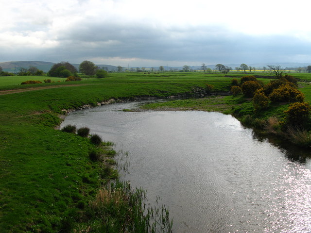
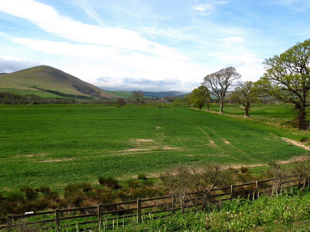
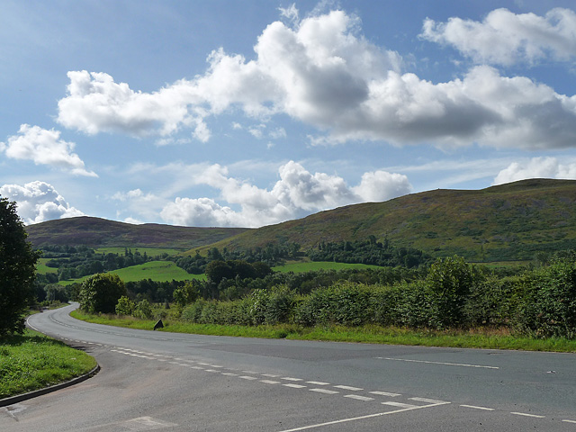
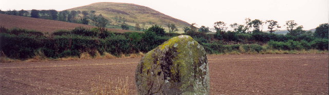
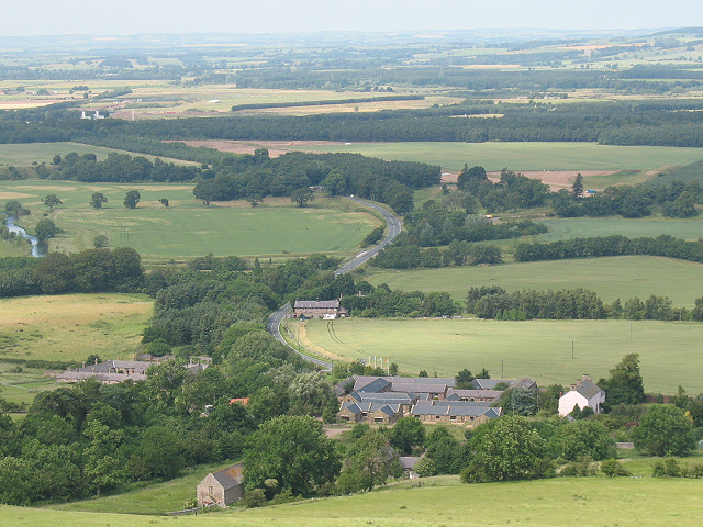
Harehope Hill is a prominent hill located in the county of Northumberland, in the northern region of England. Rising to an elevation of approximately 348 meters (1,142 feet), it is classified as a hill rather than a mountain. Situated near the village of Harehope, it forms part of the stunning landscape of the North Pennines Area of Outstanding Natural Beauty.
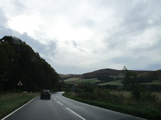
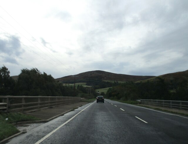
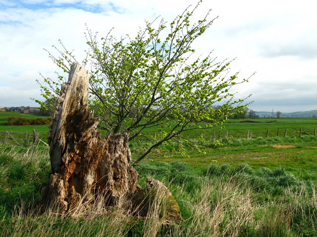
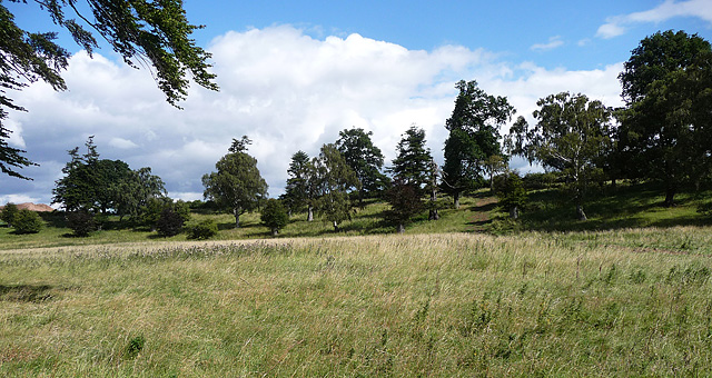
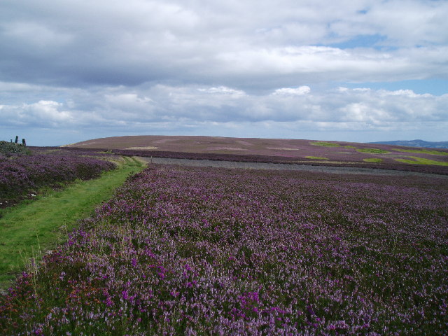
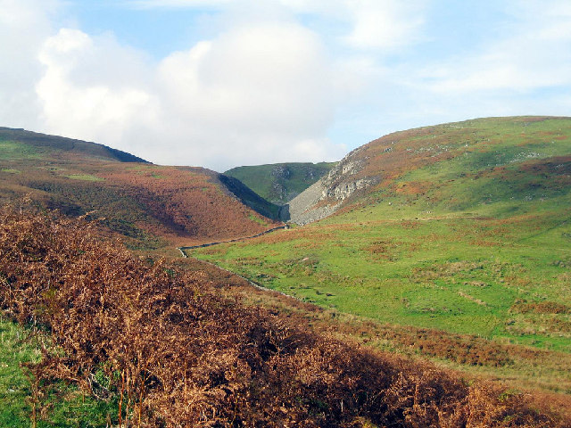
The hill is known for its picturesque surroundings, offering breathtaking panoramic views of the surrounding countryside. It is covered in lush green vegetation, with grassy slopes that are home to a variety of plant and animal species. The hill is particularly popular among hikers and nature enthusiasts, who enjoy exploring its tranquil trails and taking in the uninterrupted vistas.
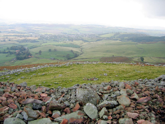
Harehope Hill is easily accessible, with well-maintained footpaths leading to its summit. The climb is relatively moderate, making it suitable for individuals of all ages and fitness levels. At the top, visitors are rewarded with magnificent views of the Northumberland landscape, including rolling hills, meandering rivers, and charming villages.
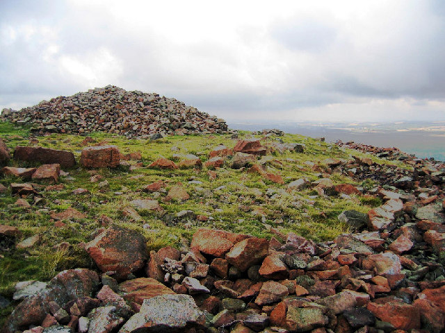
The hill also holds historical significance, with evidence of human settlement dating back thousands of years. Archaeological remains, such as ancient burial mounds and stone circles, have been discovered in the vicinity, offering insight into the area's past.
Overall, Harehope Hill in Northumberland is a captivating natural feature that combines stunning scenery, diverse flora and fauna, and historical importance. It provides an ideal destination for outdoor enthusiasts and those seeking a peaceful retreat within the enchanting North Pennines landscape.
If you have any feedback on the listing, please let us know in the comments section below.
Harehope Hill Images
Images are sourced within 2km of 55.551637/-2.068843 or Grid Reference NT9528. Thanks to Geograph Open Source API. All images are credited.

Harehope Hill is located at Grid Ref: NT9528 (Lat: 55.551637, Lng: -2.068843)
Unitary Authority: Northumberland
Police Authority: Northumbria
What 3 Words
///transit.static.caravans. Near Wooler, Northumberland
Nearby Locations
Related Wikis
Akeld
Akeld is a village and civil parish in Northumberland, England. It is situated around 2.7 miles (4.3 km) to the west of Wooler and 9.3 miles (15.0 km)...

Humbleton Hill
Humbleton Hill is a hill in Northumberland, England, about 1.5 miles (2.4 km) west of Wooler. It is the location of the Battle of Homildon Hill of 1402...

Akeld railway station
Akeld was a stone built railway station serving the hamlet of Akeld in Northumberland, England. It was on the Alnwick to Cornhill Branch which ran from...

Battle of Homildon Hill
The Battle of Holmedon Hill or Battle of Homildon Hill was a conflict between English and Scottish armies on 14 September 1402 in Northumberland, England...
Yeavering
Yeavering () is a hamlet in the north-east corner of the civil parish of Kirknewton in the English county of Northumberland. It is located on the River...

Yeavering Bell
Yeavering Bell is a twin-peaked hill near the River Glen in north Northumberland, England, to the west of Wooler, and forming part of the Cheviot Hills...
Cheviot Fringe
Cheviot Fringe ( CHEE-vee-ət) is a geographical region and a Natural England designated National Character Area (or NCA) located in the county Northumberland...

St Ninian's Catholic Church, Wooler
St Ninian’s church is a Catholic place of worship situated on Burnhouse Road in the town of Wooler in Northumberland, England. It is a Grade II listed...
Nearby Amenities
Located within 500m of 55.551637,-2.068843Have you been to Harehope Hill?
Leave your review of Harehope Hill below (or comments, questions and feedback).