Barholm
Settlement in Lincolnshire South Kesteven
England
Barholm
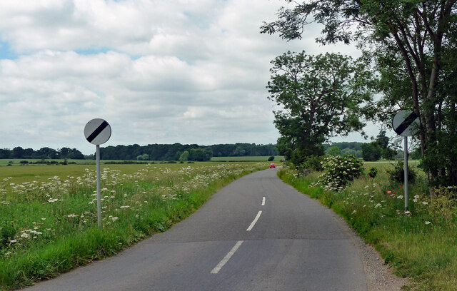
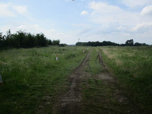
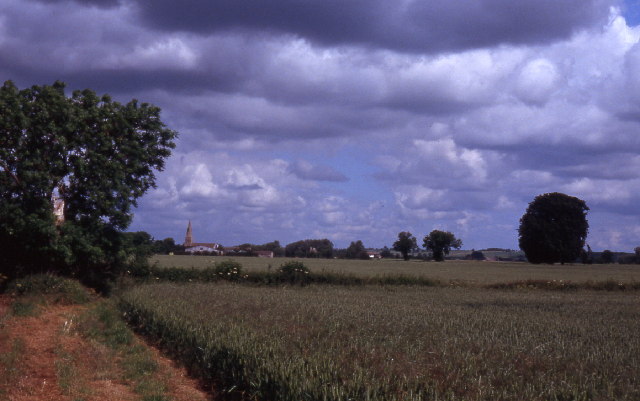
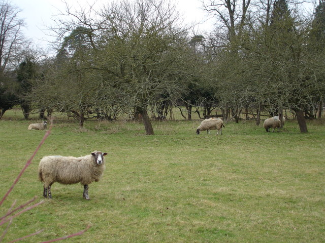
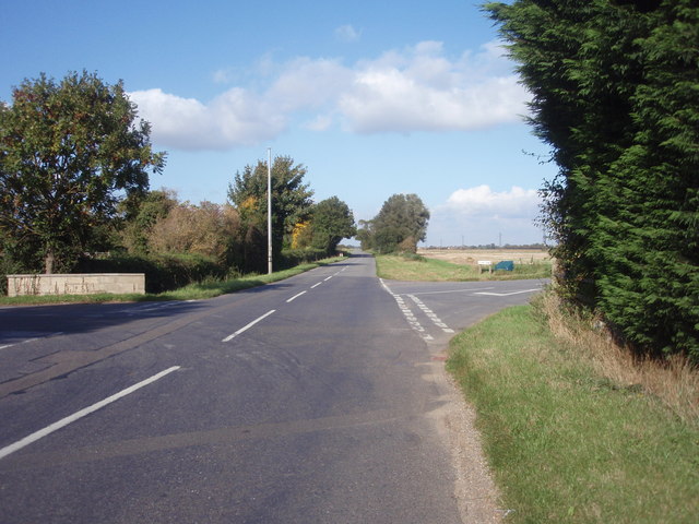
Barholm is a small village located in the South Kesteven district of Lincolnshire, England. Situated about 5 miles east of Stamford, it is nestled in the picturesque countryside, offering its residents a peaceful and scenic environment. The village is surrounded by rolling hills, green pastures, and farmland, creating a quintessential English countryside atmosphere.
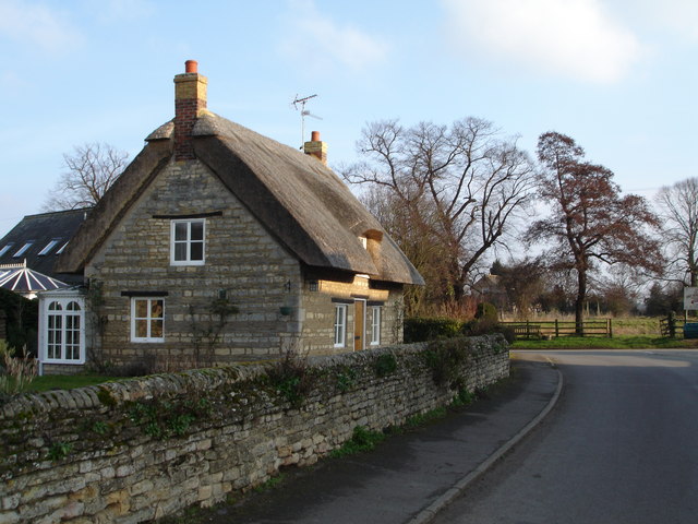
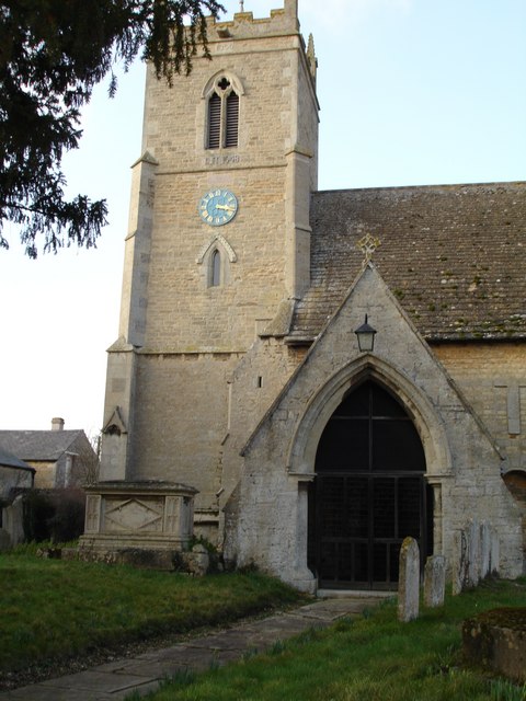
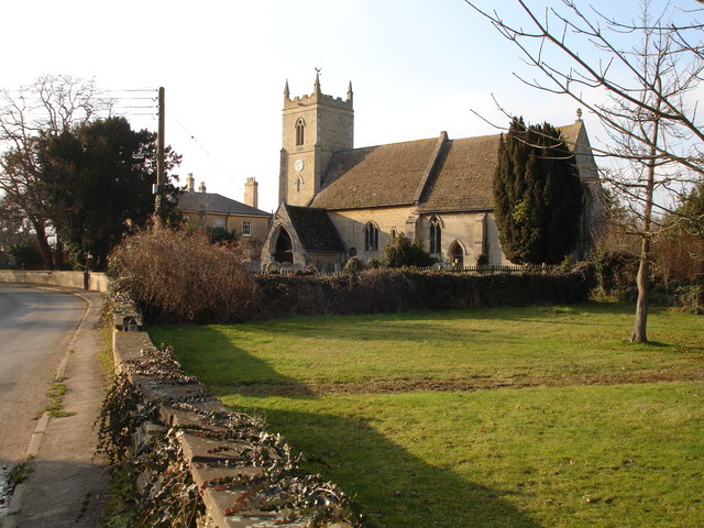
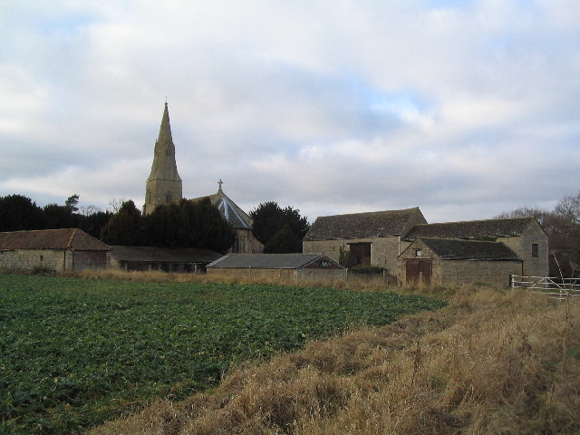
With a population of around 150 people, Barholm is a close-knit community that exudes a friendly and welcoming spirit. The village is characterized by its charming and well-preserved stone houses and cottages, which add to its traditional and idyllic appeal. The local church, St. Martin's Church, is a prominent feature within the village, dating back to the 13th century and providing a glimpse into the area's rich history.
Despite its small size, Barholm offers some amenities to its residents. It has a village hall that serves as a hub for community gatherings and events. Additionally, the nearby village of Tallington provides access to a wider range of services, including a primary school, shops, and a post office.
Barholm's location makes it an attractive destination for outdoor enthusiasts. The village is surrounded by a network of footpaths and bridleways, allowing residents and visitors to explore the stunning countryside on foot or horseback. The nearby Tallington Lakes leisure complex offers opportunities for watersports, fishing, and other recreational activities.
In summary, Barholm is a tranquil village in Lincolnshire, known for its picturesque countryside, friendly community, and rich history. It provides a serene and charming environment for those seeking a peaceful rural lifestyle.
If you have any feedback on the listing, please let us know in the comments section below.
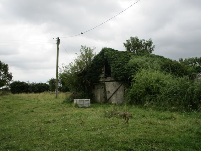
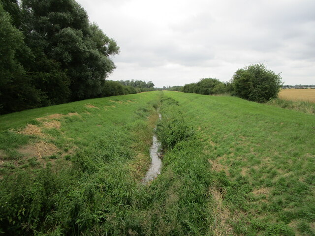
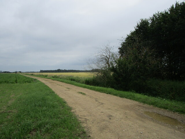
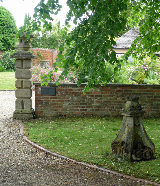
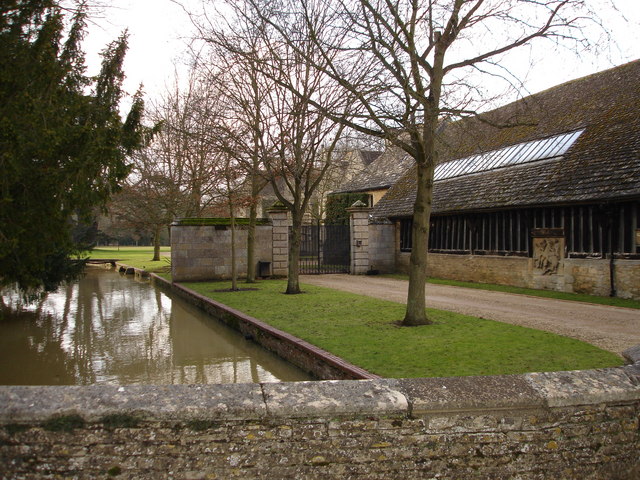
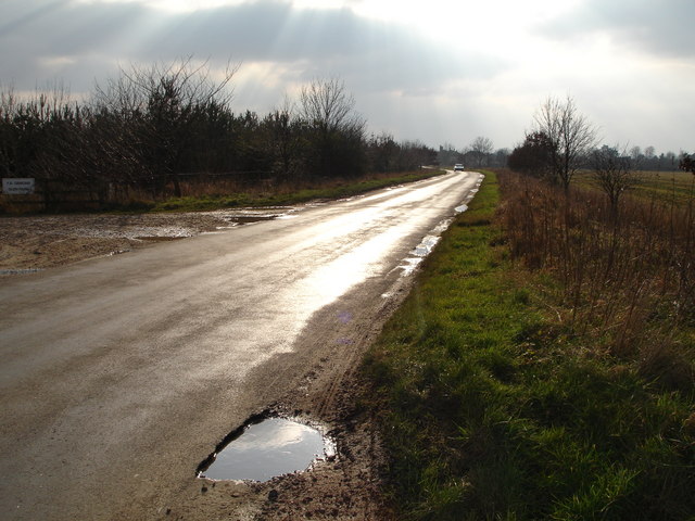
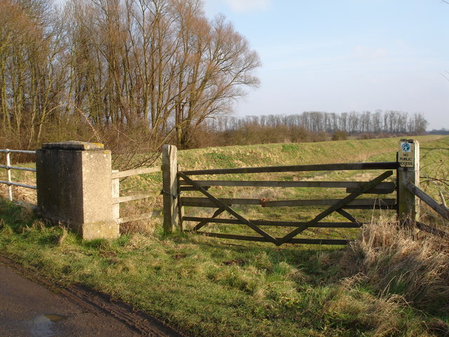
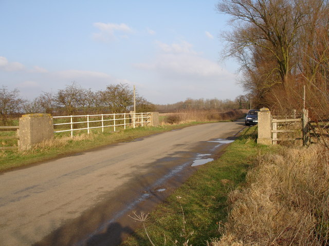
Barholm Images
Images are sourced within 2km of 52.685157/-0.388166 or Grid Reference TF0910. Thanks to Geograph Open Source API. All images are credited.


Barholm is located at Grid Ref: TF0910 (Lat: 52.685157, Lng: -0.388166)
Division: Parts of Kesteven
Administrative County: Lincolnshire
District: South Kesteven
Police Authority: Lincolnshire
What 3 Words
///armrests.shuttle.flow. Near Langtoft, Lincolnshire
Nearby Locations
Related Wikis
Barholm and Stowe
Barholm and Stowe is a civil parish in the South Kesteven district of Lincolnshire, England. According to the 2001 census it had a population of 87 in...

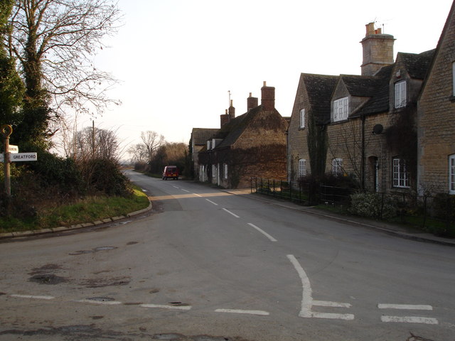
Greatford
Greatford is a village and civil parish in the South Kesteven district of Lincolnshire, England. It is situated 2 miles (3 km) west from the A15, 4.5 miles...
King Street (Roman road)
King Street is the name of a modern road on the line of a Roman road. It runs on a straight course in eastern England, between the City of Peterborough...
Barholm
Barholm is a village in the South Kesteven district of Lincolnshire, England. It is 2 miles (3 km) west from the A15 road, and 6 miles (10 km) south from...

Uffington Rural District
Uffington was a rural district in Lincolnshire, Parts of Kesteven from 1894 to 1931. It was created in 1894 from that part of the Stamford rural sanitary...
Braceborough
Braceborough is a village in the South Kesteven district of Lincolnshire, England. It is situated off the Stamford to Bourne A6121 road, just west of the...

Tallington railway station
Tallington railway station was a station in Tallington, Lincolnshire on the Great Northern Railway between Grantham and Peterborough. It was closed in...

Braceborough and Wilsthorpe
Braceborough and Wilsthorpe is a civil parish in the South Kesteven district of Lincolnshire, England. Braceborough and Wilsthorpe are less than 1 mile...
Nearby Amenities
Located within 500m of 52.685157,-0.388166Have you been to Barholm?
Leave your review of Barholm below (or comments, questions and feedback).