Barholm and Stowe

Civil Parish in Lincolnshire South Kesteven

England

Barholm and Stowe

Disappearing shed, Barholm
Disappearing shed, Barholm Credit: Jonathan Thacker

Barholm and Stowe is a civil parish located in the county of Lincolnshire, England. Situated about 9 miles north of Stamford and 12 miles east of Bourne, the parish covers an area of approximately 12 square miles. It is nestled in a predominantly rural landscape, surrounded by picturesque countryside and farmland.

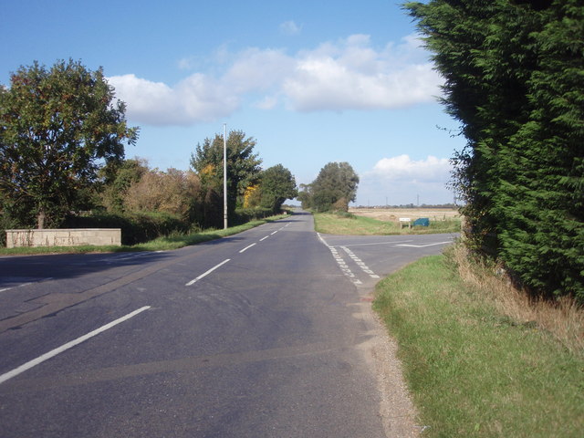
The civil parish is comprised of two distinct villages: Barholm and Stowe. Barholm is the larger of the two villages and is home to a small population, while Stowe is a hamlet with a handful of houses. The villages are connected by a single road that runs through the heart of the parish.

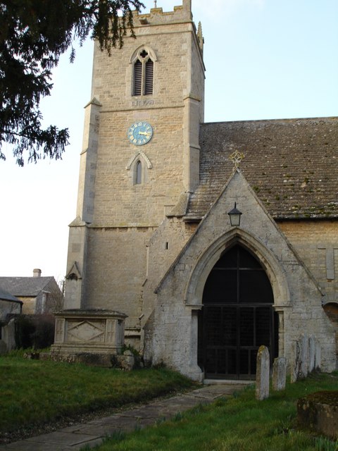
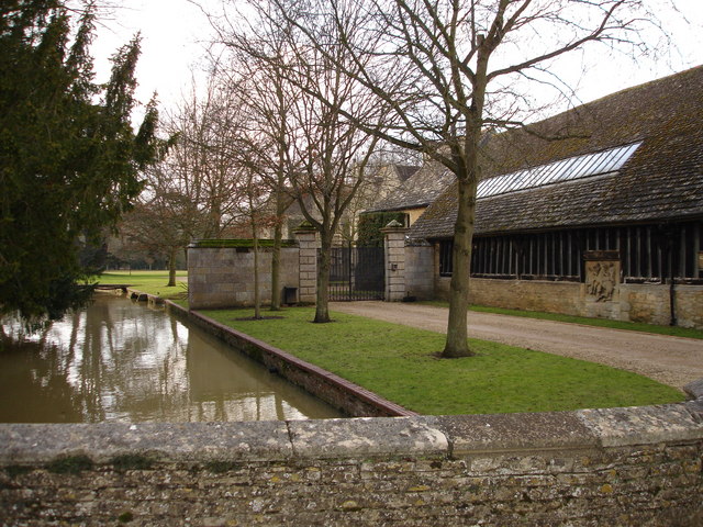
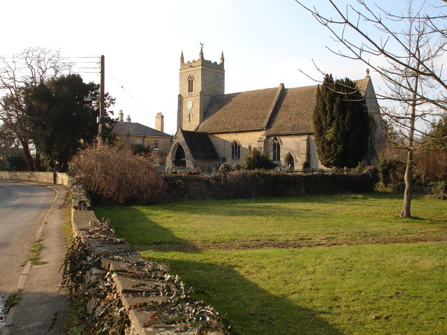
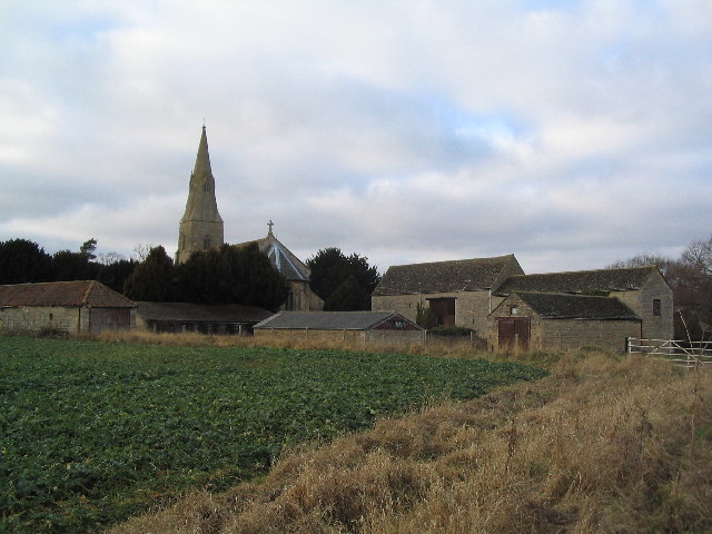
Barholm and Stowe boast a rich history, with evidence of human habitation dating back to prehistoric times. The area was once part of the historic Soke of Peterborough, and remnants of its past can still be seen in the form of ancient buildings and landmarks. The parish church of St. Martin's in Stowe is a notable architectural gem, dating back to the 12th century.

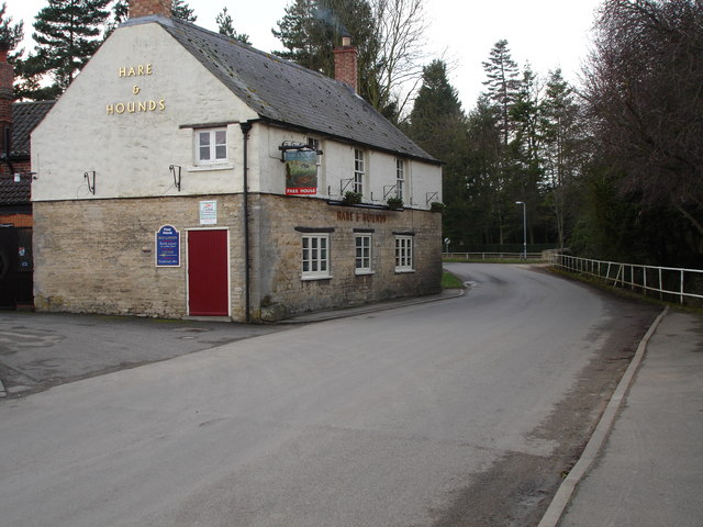
Despite its small size, the parish offers a variety of amenities and services to its residents. These include a village hall, a primary school, and a pub. The surrounding countryside provides ample opportunities for outdoor activities such as walking, cycling, and fishing.

Barholm and Stowe's tranquil and idyllic setting, combined with its rich history and close-knit community, make it a charming and desirable place to live or visit in Lincolnshire.

If you have any feedback on the listing, please let us know in the comments section below.

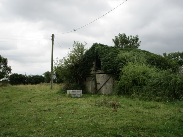
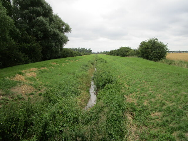
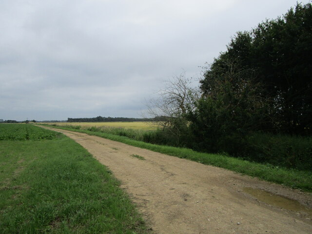
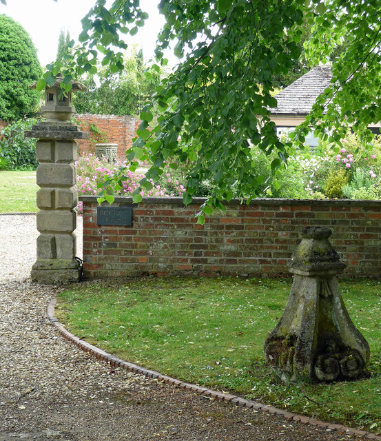
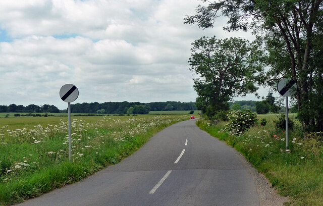
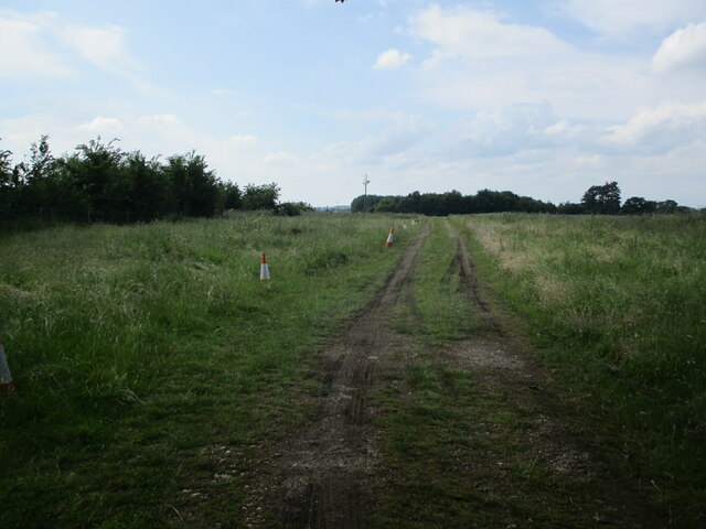
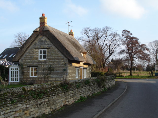
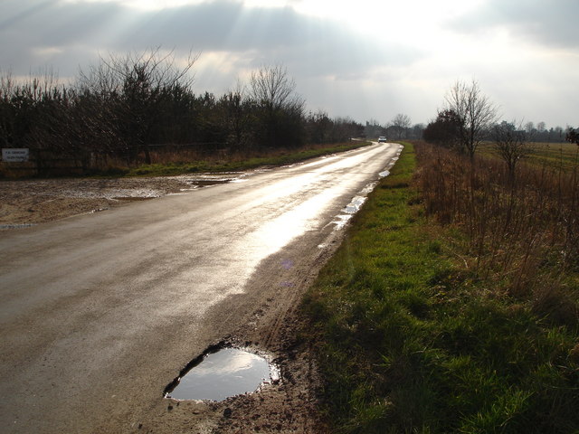
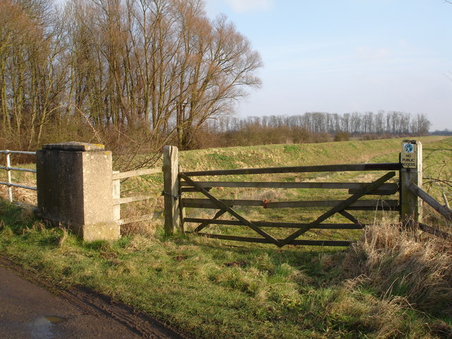
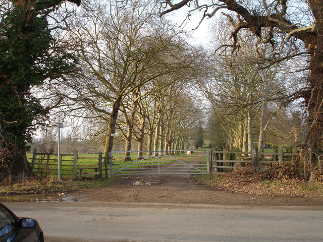
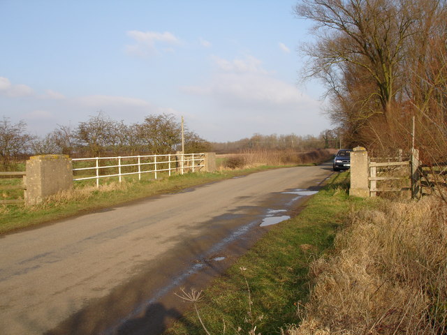
Barholm and Stowe Images

Images are sourced within 2km of 52.683305/-0.385526 or Grid Reference TF0910. Thanks to Geograph Open Source API. All images are credited.

Disappearing shed, Barholm
The Greatford Cut Created in 1954, an overflow channel for the West Glen River.
The Greatford Cut
Created in 1954, an overflow channel for the West Glen River.
Farm track across Middle Field, Greatford
Carvings, Greatford Some of the numerous eccentric carvings scattered around the village. They are by Major Fitzilliam of Greatford Hall and date from the 1930s - see other pics in the square.
Carvings, Greatford
Some of the numerous eccentric carvings scattered around the village. They are by Major Fitzilliam of Greatford Hall and date from the 1930s - see other pics in the square.
Country road, Greatford Heading north-west out of the village to the open road.
Country road, Greatford
Heading north-west out of the village to the open road.
Track to Little Maidens
Thatched Cottage in the centre of Barholm Village Barholm is near Greatford and Stamford.
Thatched Cottage in the centre of Barholm Village
Barholm is near Greatford and Stamford.
Church at Barholm Located near the junction with the road to Tallington
Church at Barholm
Located near the junction with the road to Tallington
Church Tower at Barholm Barholm is near to Greatford and Stamford
Church Tower at Barholm
Barholm is near to Greatford and Stamford
Barholm village at the junction of the road to Tallington Lakes Barholm is near to Gratford and Stamford
Barholm village at the junction of the road to Tallington Lakes
Barholm is near to Gratford and Stamford
Sheep grazing in the field at the rear of The Hare and Hounds, Greatford
The hare and Hounds pub in Greatford
Old stone cross on the opposite side of the road to the Hare and Hounds, Greatford
An entrance to Greatford Hall
Entrance to Glen Farm, Greatford, on the Greatford to Bourne road
Bridge over Greatford Cut on Barholm to Stowe road The Greatford Cut is not shown on the Geograph 1940s series OS maps
Bridge over Greatford Cut on Barholm to Stowe road
The Greatford Cut is not shown on the Geograph 1940s series OS maps
Greatford Cut, Barholm to Stowe road
Tree lined driveway, near Greatford
Show me another place!

Barholm and Stowe is located at Grid Ref: TF0910 (Lat: 52.683305, Lng: -0.385526)

Administrative County: Lincolnshire

District: South Kesteven

Police Authority: Lincolnshire

What 3 Words

///merchant.chromatic.foiled. Near Langtoft, Lincolnshire

Related Wikis

Barholm and Stowe

Barholm and Stowe is a civil parish in the South Kesteven district of Lincolnshire, England. According to the 2001 census it had a population of 87 in...
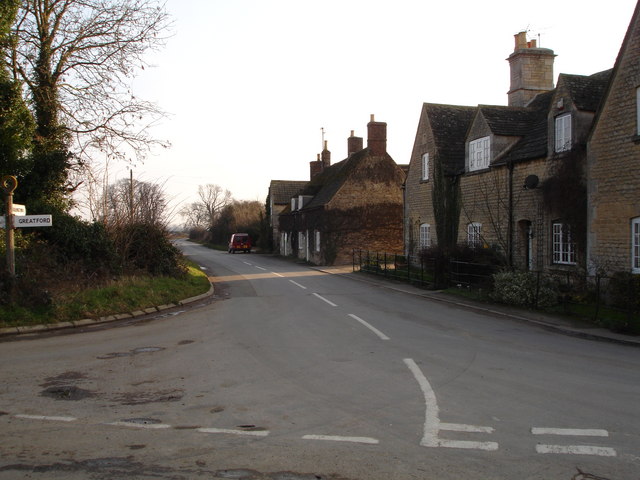
Greatford

Greatford is a village and civil parish in the South Kesteven district of Lincolnshire, England. It is situated 2 miles (3 km) west from the A15, 4.5 miles...

Barholm

Barholm is a village in the South Kesteven district of Lincolnshire, England. It is 2 miles (3 km) west from the A15 road, and 6 miles (10 km) south from...

King Street (Roman road)

King Street is the name of a modern road on the line of a Roman road. It runs on a straight course in eastern England, between the City of Peterborough...

Uffington Rural District

Uffington was a rural district in Lincolnshire, Parts of Kesteven from 1894 to 1931. It was created in 1894 from that part of the Stamford rural sanitary...

Tallington railway station

Tallington railway station was a station in Tallington, Lincolnshire on the Great Northern Railway between Grantham and Peterborough. It was closed in...

Braceborough

Braceborough is a village in the South Kesteven district of Lincolnshire, England. It is situated off the Stamford to Bourne A6121 road, just west of the...

Tallington

Tallington is a village and civil parish in the South Kesteven district of Lincolnshire, England. The population of the civil parish at the 2011 census...

Nearby Amenities

Located within 500m of 52.683305,-0.385526
St Martins Church
Naptan AtcoCode: 270000014543
Naptan Bearing: NE
Naptan BusStopType: CUS
Naptan CommonName: St Martins Church
Naptan Indicator: adj
Naptan Landmark: St Martins Church
Naptan NaptanCode: linjpwgw
Naptan Street: Main Street
Naptan Verified: no
Source: naptan_import
Lat/Long: 52.6853099/-0.3887136
Bus Stop
St Martins Church
Naptan AtcoCode: 2700LBBS0776
Naptan Bearing: SW
Naptan CommonName: St Martins Church
Naptan Indicator: opp
Naptan Landmark: St Martins Church
Naptan NaptanCode: linagjmj
Naptan Street: Main Street
Naptan Verified: no
Source: naptan_import
Lat/Long: 52.6851331/-0.389326
Parsonage Field
Place: locality
Source: Bing
Lat/Long: 52.6867304/-0.3844931
Barholm
Place: hamlet
Lat/Long: 52.6847948/-0.3898217
Pub
Five Horseshoes
Addr City: Barholm
Addr Postcode: PE9 4RA
Addr Street: Main Street
Fhrs Authority: South Kesteven
Fhrs Id: 238018
Fhrs Local Authority Id: 3746
Lat/Long: 52.6844847/-0.390782
Barrier: stile
Lat/Long: 52.6858051/-0.3885812
The data included in this document is from www.openstreetmap.org. The data is made available under ODbL.

Have you been to Barholm and Stowe?

Leave your review of Barholm and Stowe below (or comments, questions and feedback).