Barharrow
Settlement in Kirkcudbrightshire
Scotland
Barharrow
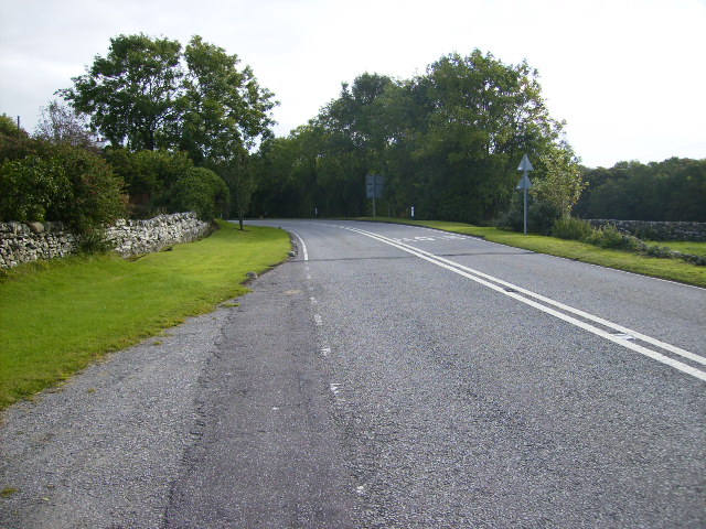
Barharrow is a small hamlet located in the historical county of Kirkcudbrightshire, Scotland. Situated in the southwest of the country, it is nestled amidst picturesque countryside, offering breathtaking views of rolling hills and lush greenery. The hamlet is part of the wider Kirkcudbrightshire region, which is renowned for its natural beauty and tranquil atmosphere.
Barharrow consists of a cluster of traditional stone houses and cottages, adding to its charm and character. The architecture reflects the area's rich history, with some buildings dating back several centuries. The hamlet retains its rural ambiance and provides a peaceful retreat away from the hustle and bustle of city life.
The surrounding area offers numerous opportunities for outdoor activities and exploration. Nature enthusiasts can enjoy scenic walks along the nearby Galloway Forest Park, which is known for its diverse wildlife and stunning landscapes. Furthermore, the Solway Coast, with its sandy beaches and rugged cliffs, is within easy reach.
Despite its small size, Barharrow benefits from its proximity to larger towns and amenities. The nearby town of Kirkcudbright, just a short drive away, offers a range of amenities including shops, restaurants, and cultural attractions. The town is renowned for its vibrant arts scene, with numerous galleries and exhibitions showcasing local talent.
In conclusion, Barharrow is a charming hamlet located in the idyllic Kirkcudbrightshire countryside. With its historic buildings, beautiful landscapes, and nearby amenities, it offers a delightful and tranquil setting for residents and visitors alike.
If you have any feedback on the listing, please let us know in the comments section below.
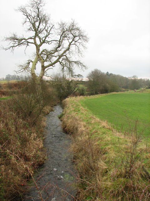
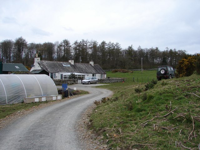
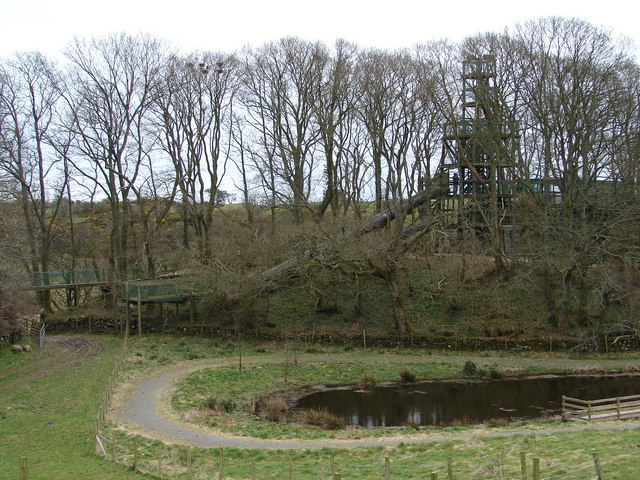
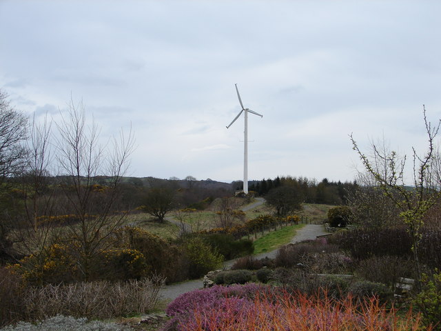
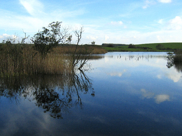
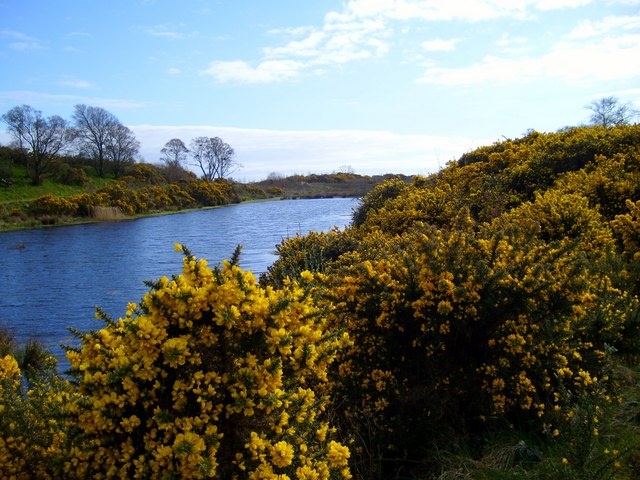
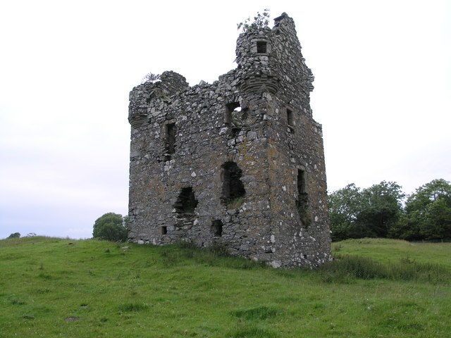
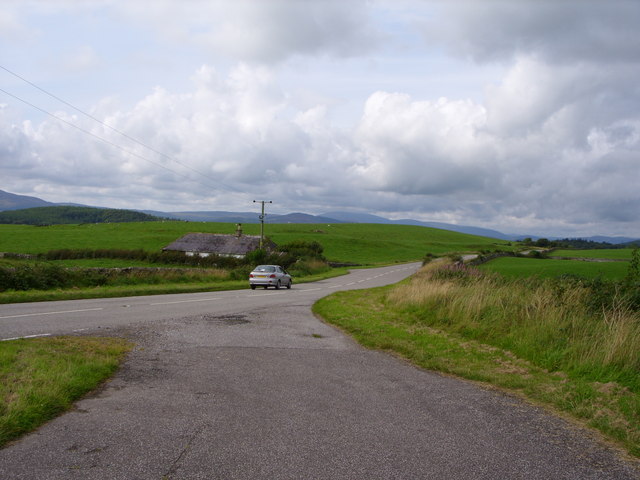
Barharrow Images
Images are sourced within 2km of 54.843457/-4.1661597 or Grid Reference NX6152. Thanks to Geograph Open Source API. All images are credited.


Barharrow is located at Grid Ref: NX6152 (Lat: 54.843457, Lng: -4.1661597)
Unitary Authority: Dumfries and Galloway
Police Authority: Dumfries and Galloway
What 3 Words
///lifeboats.safest.debt. Near Kirkcudbright, Dumfries & Galloway
Nearby Locations
Related Wikis

Plunton Castle
Plunton Castle is a ruined L-plan tower house between Kirkandrews and Gatehouse of Fleet in Dumfries and Galloway, Scotland. Built around 1575 for the...

Girthon Old Parish Church
Girthon Old Parish Church is a ruined ecclesiastical building in Girthon, near Gatehouse of Fleet in Dumfries and Galloway. Built around 1620 on the foundations...

Cally Palace
Cally Palace, formerly known as Cally House, is an 18th-century country house in the historical county of Kirkcudbrightshire in Dumfries and Galloway...

Cardoness Castle
Cardoness Castle is a well-preserved 15th-century tower house just south west of Gatehouse of Fleet, in the historical county of Kirkcudbrightshire in...

Corseyard Farm
Corseyard Farm, known locally as the Coo Palace and now marketed under that name, is an architecturally unusual dairy farm near Kirkandrews in Scotland...

Kirkandrews, Dumfries and Galloway
Kirkandrews, sometimes written as Kirkanders in older documents, is a coastal hamlet about 9 kilometres (6 mi) west-southwest of Kirkcudbright in Dumfries...

Ardwall House
Ardwall House is an eighteenth-century mansion near Gatehouse of Fleet in Dumfries and Galloway, Scotland. Built in 1762 for the McCullochs of Ardwall...

Borgue, Dumfries and Galloway
Borgue (pronounced /ˈbɔrɡ/; Scottish Gaelic: Borgh) is a village and parish in the Stewartry of Kirkcudbright in Dumfries and Galloway, Scotland. It lies...
Nearby Amenities
Located within 500m of 54.843457,-4.1661597Have you been to Barharrow?
Leave your review of Barharrow below (or comments, questions and feedback).