St Martin's Hill
Hill, Mountain in Dorset
England
St Martin's Hill
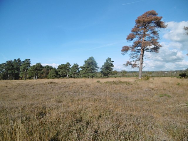
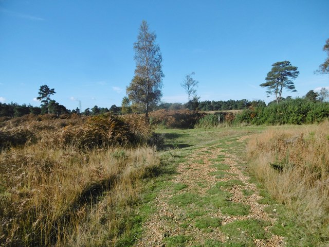
St Martin's Hill, located in the county of Dorset, England, is a prominent hill of historical and natural significance. With an elevation of approximately 200 meters (656 feet), it is classified as a hill rather than a mountain due to its moderate height. Situated near the village of Broadwindsor, St Martin's Hill offers breathtaking panoramic views of the surrounding countryside, making it a popular destination for locals and tourists alike.
The hill takes its name from the nearby St Martin's Church, which dates back to the 13th century and stands at the summit of the hill. The church is a remarkable example of medieval architecture and features a distinctive tower that can be seen from miles around.
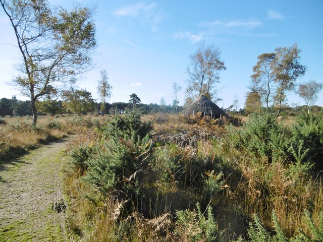
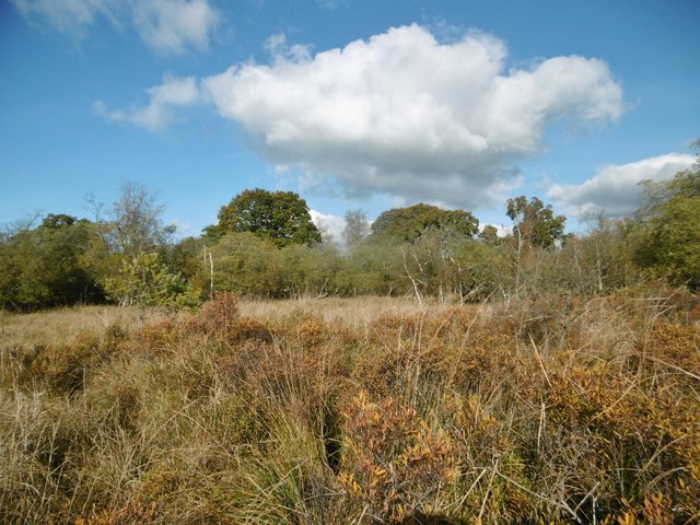
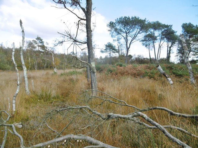
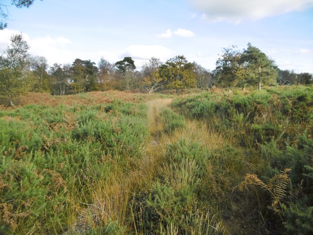
Not only is St Martin's Hill renowned for its historical and religious significance, but it also boasts a diverse range of flora and fauna. The hill is covered in lush grassland, providing a habitat for various plant species, including wildflowers such as cowslips and orchids. Additionally, the hill is home to numerous bird species, making it a haven for birdwatchers.
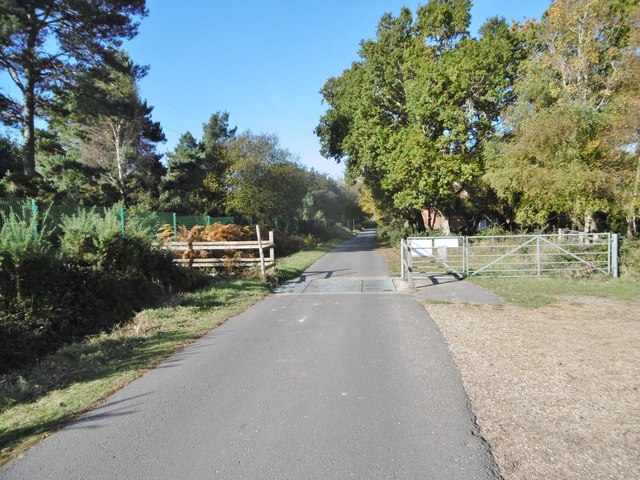
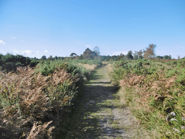
For outdoor enthusiasts, St Martin's Hill offers various walking trails that provide an opportunity to explore its natural beauty. These trails cater to all levels of fitness and offer stunning views of the surrounding rolling hills and valleys.
Overall, St Martin's Hill in Dorset is a captivating destination that combines history, natural beauty, and recreational opportunities, making it a must-visit location for those seeking a unique and enriching experience in the English countryside.
If you have any feedback on the listing, please let us know in the comments section below.
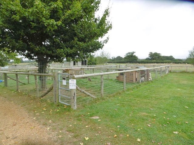
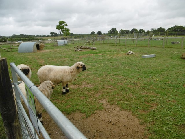
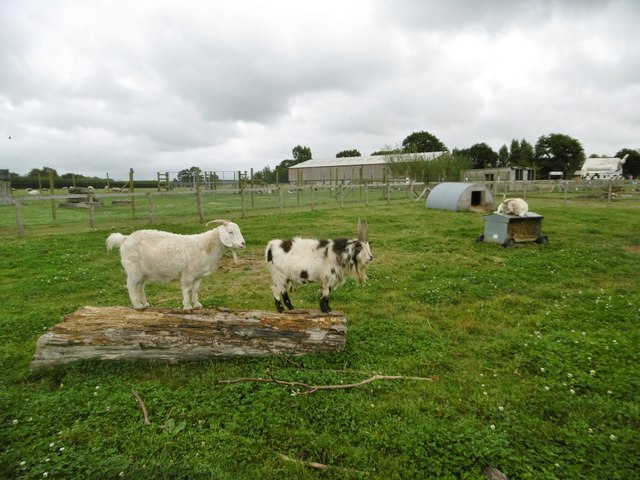
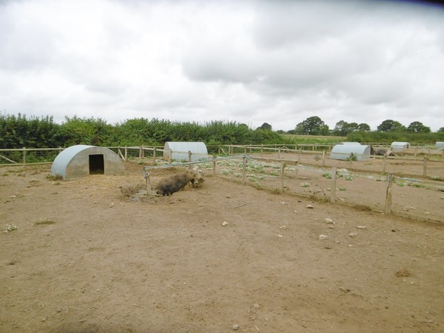
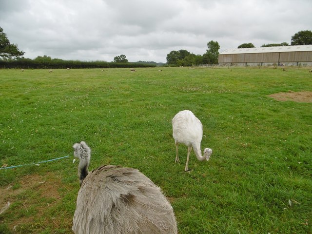
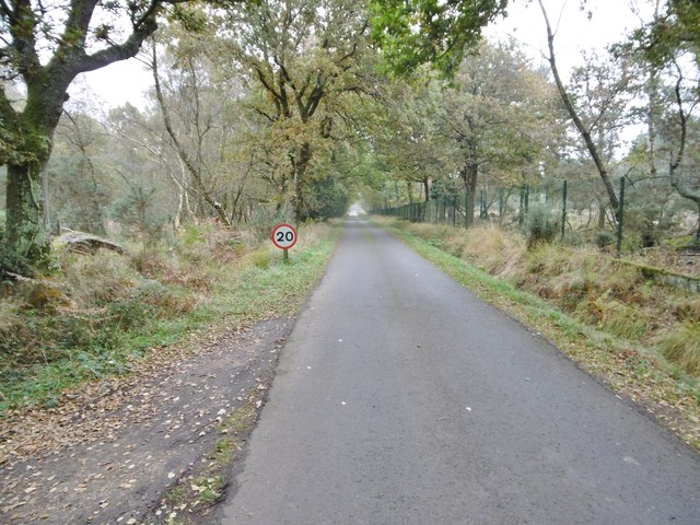
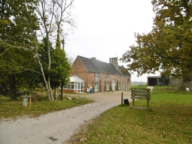
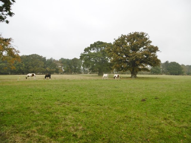
St Martin's Hill Images
Images are sourced within 2km of 50.719136/-2.0836655 or Grid Reference SY9491. Thanks to Geograph Open Source API. All images are credited.

St Martin's Hill is located at Grid Ref: SY9491 (Lat: 50.719136, Lng: -2.0836655)
Unitary Authority: Dorset
Police Authority: Dorset
What 3 Words
///forgiving.impact.snail. Near Wareham, Dorset
Nearby Locations
Related Wikis

Holton Heath
Holton Heath is an area of the parish of Wareham St. Martin, Dorset, England. The area includes a trading estate, on the site of the former Royal Navy...

Royal Naval Cordite Factory, Holton Heath
The Royal Naval Cordite Factory, Holton Heath (RNCF) was set up at Holton Heath, Dorset, England, in World War I to manufacture cordite for the Royal Navy...
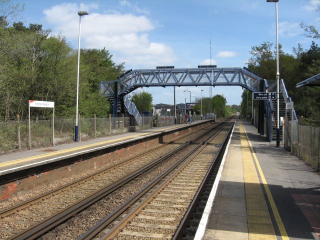
Holton Heath railway station
Holton Heath railway station serves the area of Holton Heath in Wareham St Martin, Dorset, England. It is 118 miles 61 chains (191.1 km) down the line...

Organford
Organford is a hamlet in the county of Dorset, England. It is located just south of the A35 between Lytchett Minster and Slepe. == References ==
Nearby Amenities
Located within 500m of 50.719136,-2.0836655Have you been to St Martin's Hill?
Leave your review of St Martin's Hill below (or comments, questions and feedback).