Holton Heath
Settlement in Dorset
England
Holton Heath
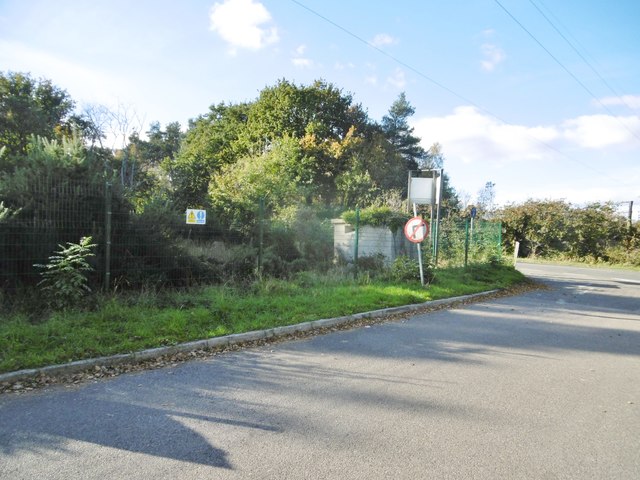
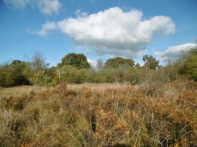
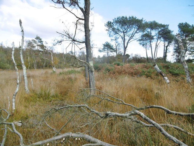
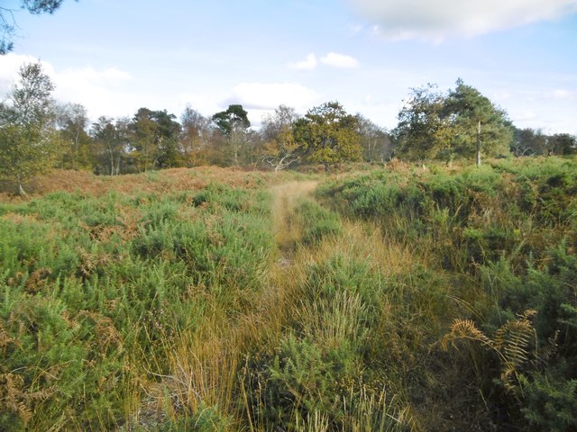
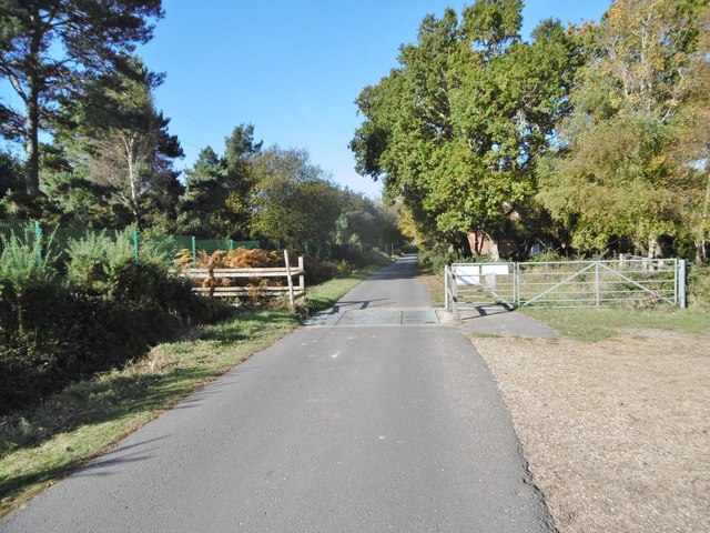
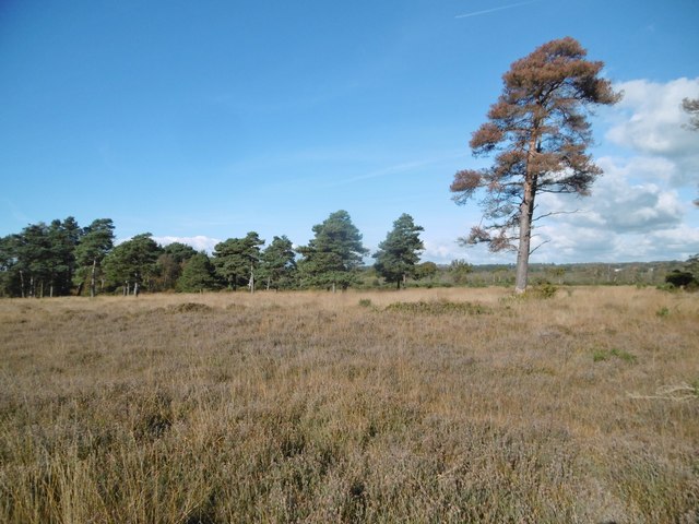
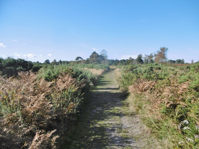
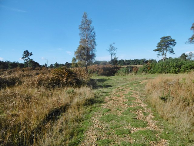
Holton Heath is a small village located in the county of Dorset, England. Situated approximately 6 miles east of the town of Poole, it is nestled between the towns of Wareham and Upton. The village is set in a rural landscape, surrounded by picturesque countryside and woodland areas.
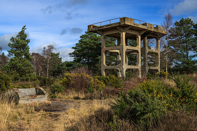
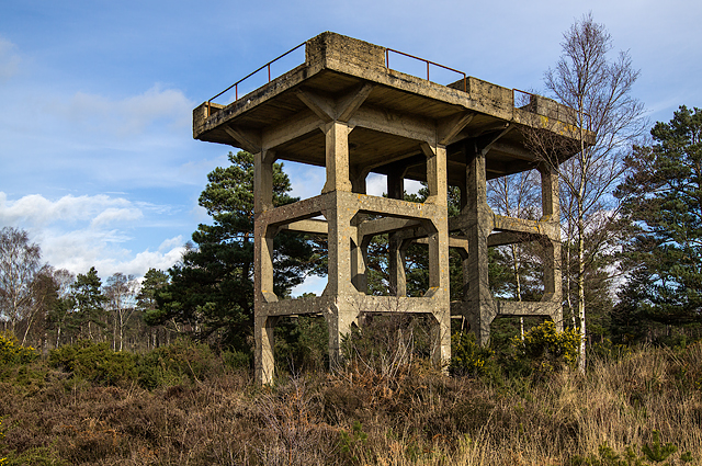
Historically, Holton Heath is known for its industrial heritage. During the early 20th century, it was home to a large munitions factory that played a significant role in both World Wars. The site has since been redeveloped and transformed into a thriving business park, attracting a range of industries and providing employment opportunities for the local community.
Despite its industrial past, Holton Heath retains a sense of tranquility and natural beauty. The village boasts a range of amenities, including a primary school, a community center, and a local pub. There are also ample opportunities for outdoor activities, with nearby nature reserves and country parks offering walking trails and wildlife watching.
Transportation in Holton Heath is facilitated by a nearby railway station, providing convenient access to larger towns and cities in the region. The village is also well-connected by road, with the A35 and A351 providing easy access to surrounding areas.
Overall, Holton Heath offers a peaceful and idyllic setting, combining its rich history with a modern and thriving business hub. It provides a desirable location for those seeking both a rural lifestyle and the convenience of nearby amenities.
If you have any feedback on the listing, please let us know in the comments section below.
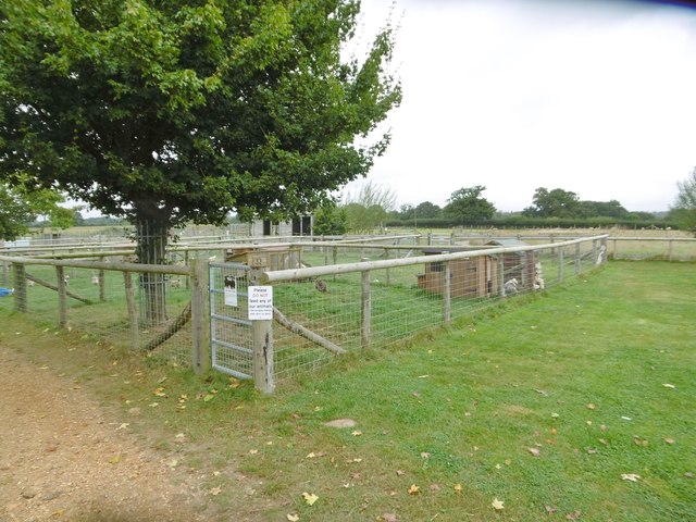
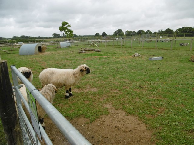
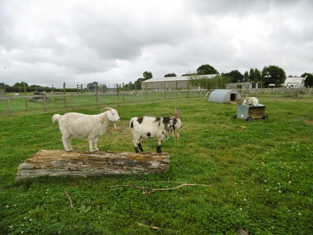
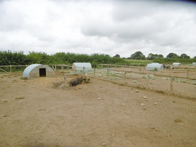
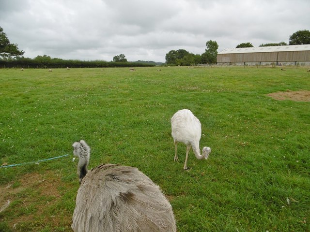
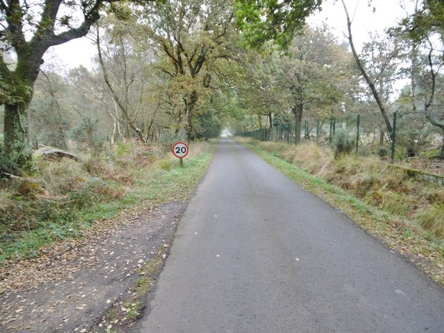
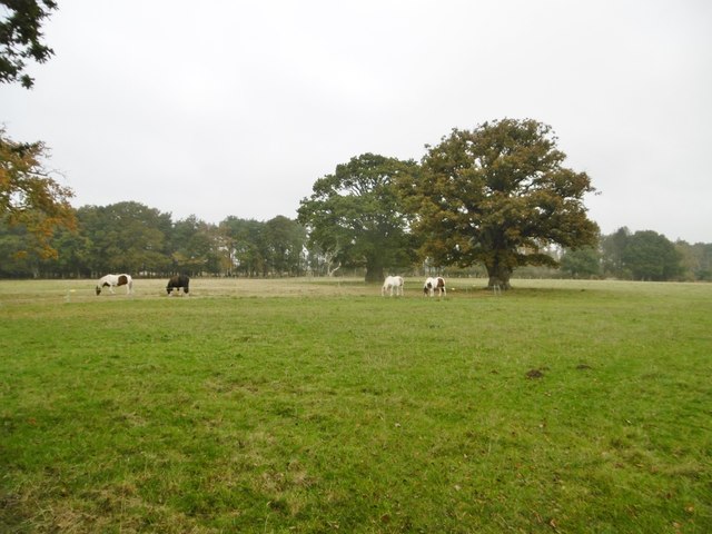
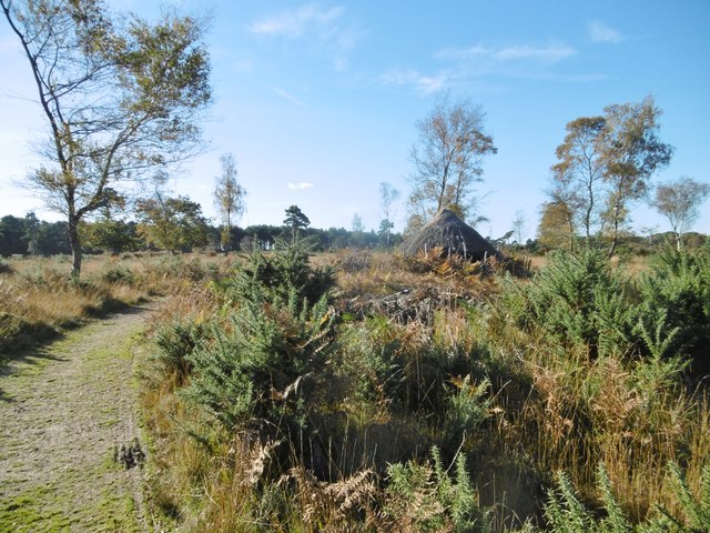
Holton Heath Images
Images are sourced within 2km of 50.719594/-2.084842 or Grid Reference SY9491. Thanks to Geograph Open Source API. All images are credited.
Holton Heath is located at Grid Ref: SY9491 (Lat: 50.719594, Lng: -2.084842)
Unitary Authority: Dorset
Police Authority: Dorset
What 3 Words
///strapping.extreme.claim. Near Wareham, Dorset
Nearby Locations
Related Wikis

Holton Heath
Holton Heath is an area of the parish of Wareham St. Martin, Dorset, England. The area includes a trading estate, on the site of the former Royal Navy...

Royal Naval Cordite Factory, Holton Heath
The Royal Naval Cordite Factory, Holton Heath (RNCF) was set up at Holton Heath, Dorset, England, in World War I to manufacture cordite for the Royal Navy...
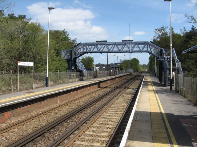
Holton Heath railway station
Holton Heath railway station serves the area of Holton Heath in Wareham St Martin, Dorset, England. It is 118 miles 61 chains (191.1 km) down the line...

Organford
Organford is a hamlet in the county of Dorset, England. It is located just south of the A35 between Lytchett Minster and Slepe. == References ==
Nearby Amenities
Located within 500m of 50.719594,-2.084842Have you been to Holton Heath?
Leave your review of Holton Heath below (or comments, questions and feedback).