Gallows Hill
Hill, Mountain in Aberdeenshire
Scotland
Gallows Hill
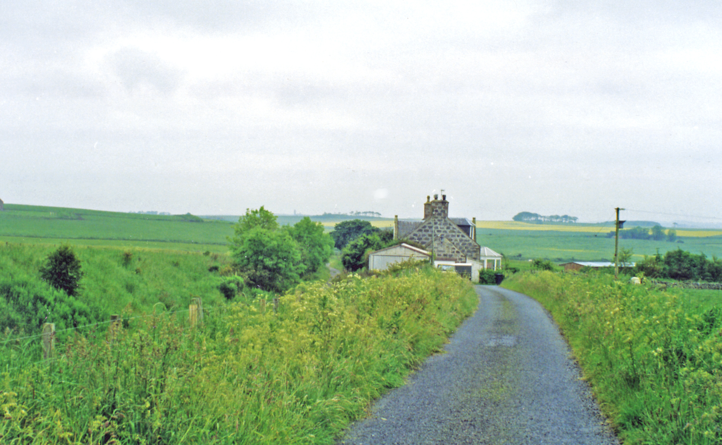
Gallows Hill is a prominent hill located in Aberdeenshire, Scotland. Rising to an elevation of approximately 400 meters (1,312 feet), it is part of the scenic landscape of the region. The hill is situated near the village of Aberchirder, offering breathtaking panoramic views of the surrounding countryside.
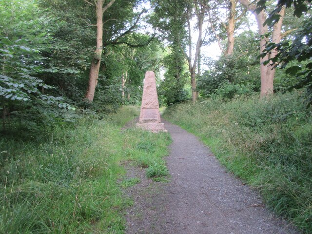
The name "Gallows Hill" derives from its historical association with public executions that took place during the 17th and 18th centuries. In those times, it served as the site for criminal trials and subsequent hangings, serving as a grim reminder of the area's dark past.
Today, Gallows Hill has transformed into a popular destination for outdoor enthusiasts and nature lovers. It boasts well-maintained trails that lead to the summit, providing hikers with a challenging yet rewarding experience. The hill's diverse flora and fauna, including heather, gorse, and various bird species, make it an ideal spot for wildlife enthusiasts and bird watchers.
The captivating views from the top of Gallows Hill showcase Aberdeenshire's rolling hills, lush green fields, and nearby forests. On a clear day, one can even catch a glimpse of the North Sea shimmering in the distance.
Visitors to Gallows Hill can also explore the nearby Aberchirder village, known for its quaint charm and historic buildings. The area offers opportunities for relaxation, with several picnic spots and benches available for those who wish to take in the peaceful ambiance.
In conclusion, Gallows Hill is a historically significant and visually stunning hill in Aberdeenshire, attracting both history buffs and nature enthusiasts with its intriguing past and captivating natural beauty.
If you have any feedback on the listing, please let us know in the comments section below.
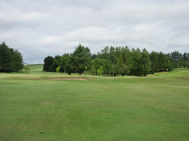
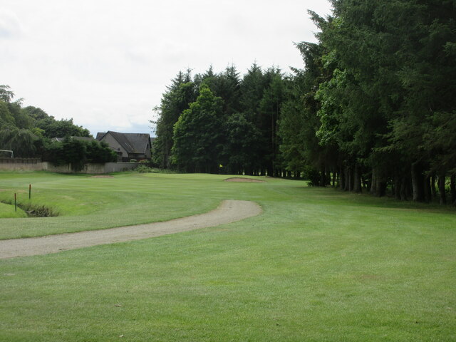
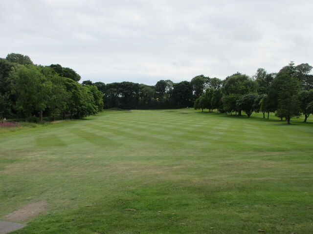
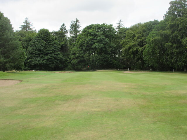
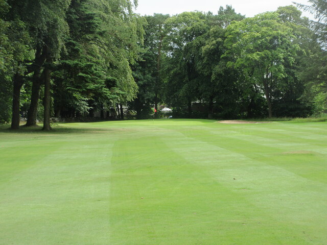
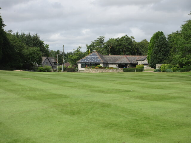
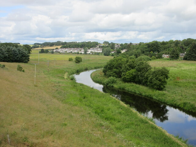
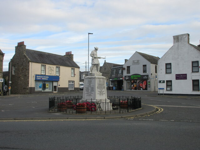
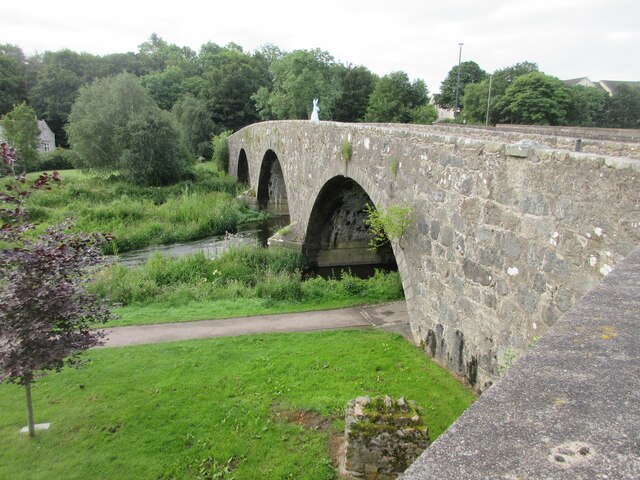
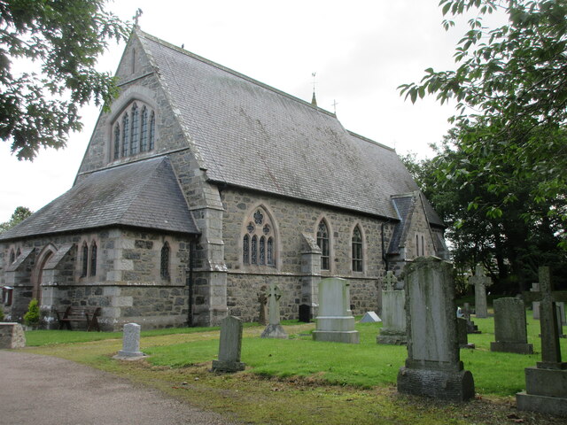
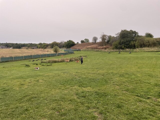
Gallows Hill Images
Images are sourced within 2km of 57.35596/-2.0973941 or Grid Reference NJ9429. Thanks to Geograph Open Source API. All images are credited.


Gallows Hill is located at Grid Ref: NJ9429 (Lat: 57.35596, Lng: -2.0973941)
Unitary Authority: Aberdeenshire
Police Authority: North East
What 3 Words
///gums.eyeliner.assets. Near Ellon, Aberdeenshire
Nearby Locations
Related Wikis
Esslemont railway station
Esslemont railway station was a railway station in Esslemont, Aberdeenshire. == History == The station was opened on 18 July 1861 by the Formartine and...
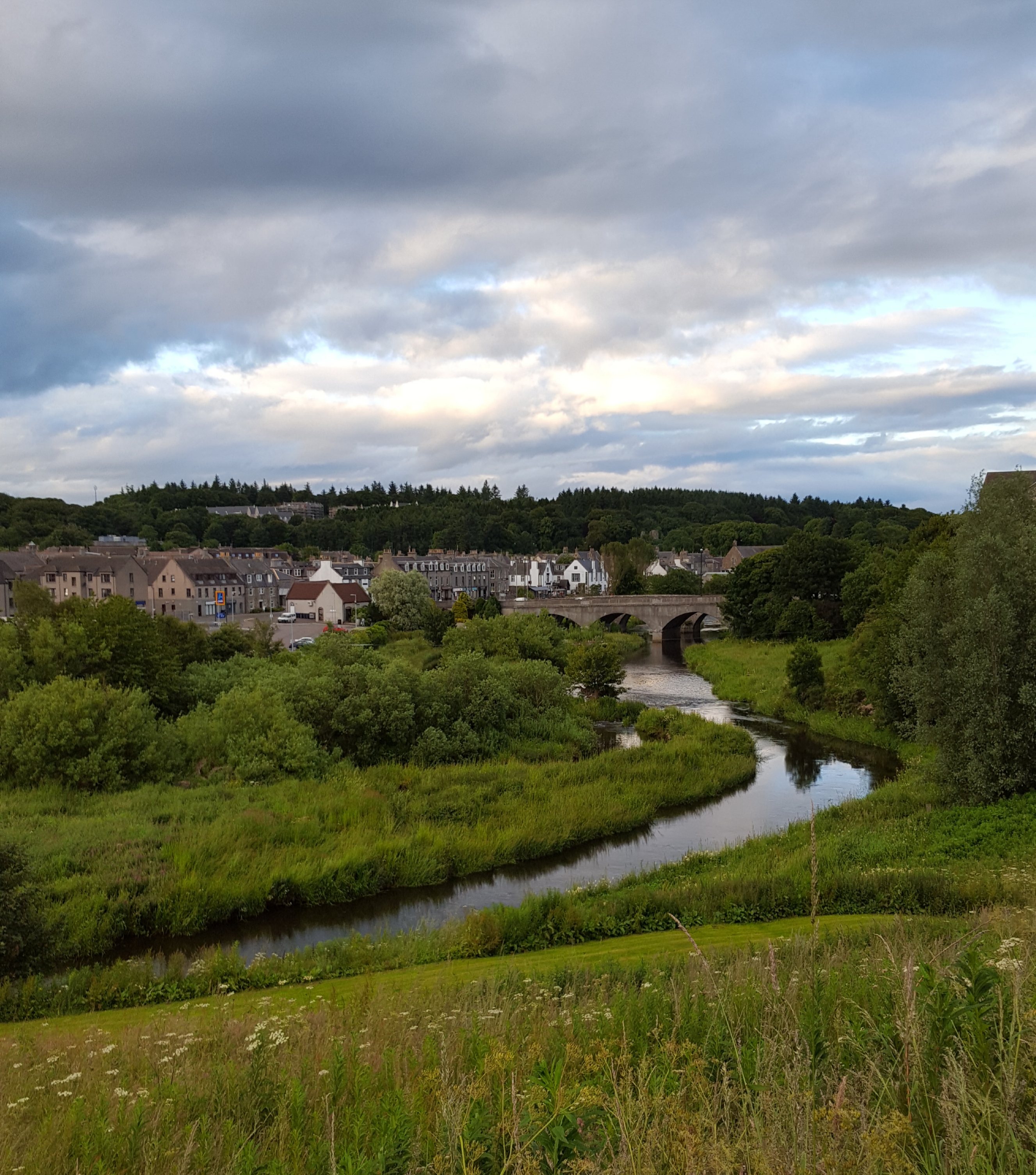
Ellon, Aberdeenshire
Ellon (Scottish Gaelic: Eilean) is a town in Aberdeenshire, Scotland, approximately 16 miles (26 kilometres) north of Aberdeen, lying on the River Ythan...
Ellon railway station
Ellon railway station was a railway station in Ellon, Aberdeenshire, Scotland. == History == Ellon Railway Station (originally Ellon for Cruden) was situated...

Ellon Academy
Ellon Academy is a secondary comprehensive school in the Aberdeenshire town of Ellon. In August 2015, the school moved to its new purpose-built campus...
Nearby Amenities
Located within 500m of 57.35596,-2.0973941Have you been to Gallows Hill?
Leave your review of Gallows Hill below (or comments, questions and feedback).