Gallows Hill
Hill, Mountain in Kincardineshire
Scotland
Gallows Hill
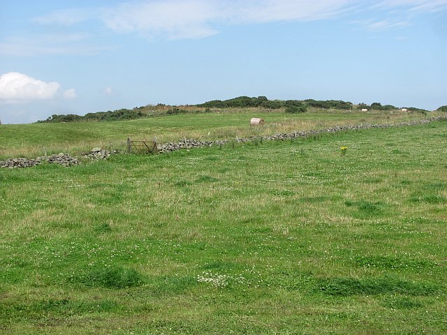
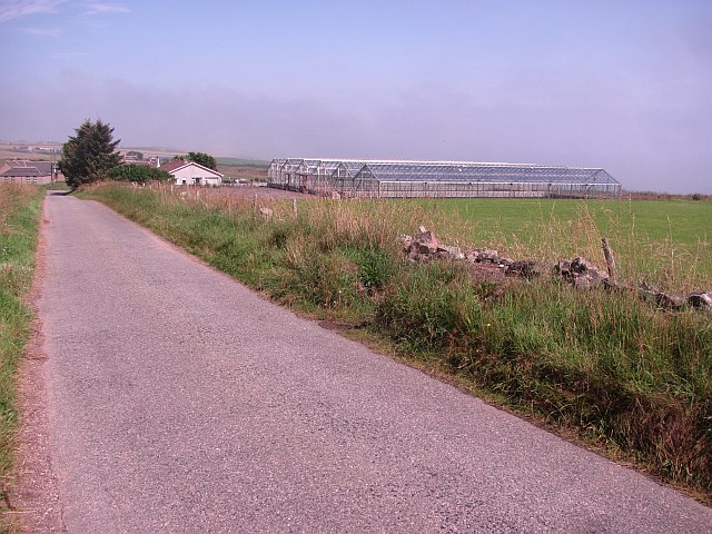
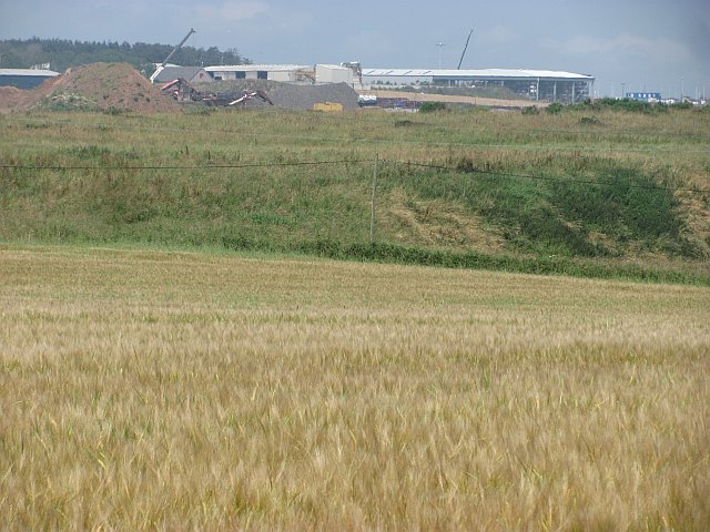
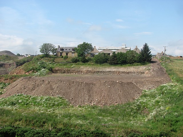
Gallows Hill is a prominent hill located in the county of Kincardineshire, Scotland. Situated near the town of Stonehaven, it is a well-known landmark in the area. Rising to an elevation of approximately 174 meters (571 feet), it offers commanding views of the surrounding countryside and the North Sea.
The name "Gallows Hill" originates from its historical association with public executions. In the past, it served as the site for hanging criminals, hence the somber name. This dark history has lent an eerie aura to the hill, making it a place of intrigue and curiosity for locals and visitors alike.
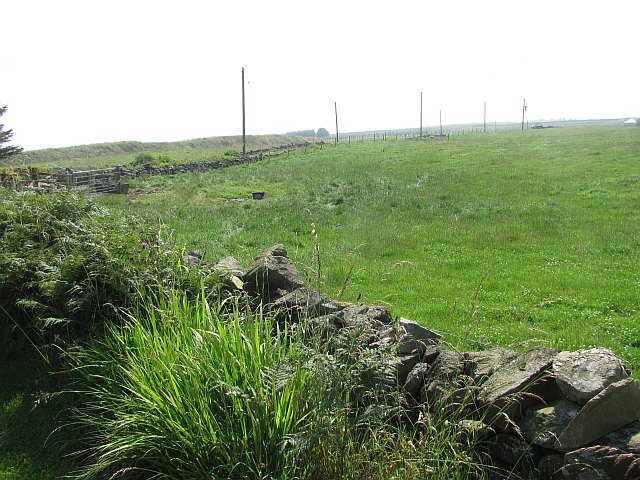
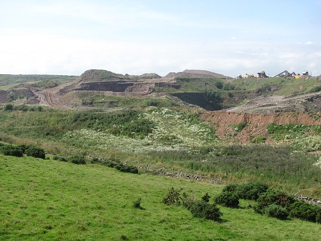
The hill itself is characterized by its steep slopes and rocky terrain, with sparse vegetation covering its surface. It is predominantly composed of granite, which is a common geological feature in this region of Scotland. The ruggedness of Gallows Hill makes it a popular destination for hikers and climbers, offering a challenging ascent and a rewarding view from the top.
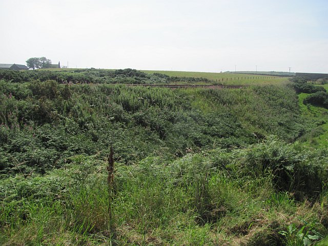
In addition to its natural beauty and historical significance, Gallows Hill also boasts a diverse wildlife population. The surrounding area is home to various species of birds, including raptors such as kestrels and buzzards. Small mammals like rabbits and hares can also be spotted in the vicinity.
Overall, Gallows Hill stands as a testament to the rich history and natural splendor of Kincardineshire. It serves as a reminder of the region's past while offering a picturesque landscape for outdoor enthusiasts to explore.
If you have any feedback on the listing, please let us know in the comments section below.
Gallows Hill Images
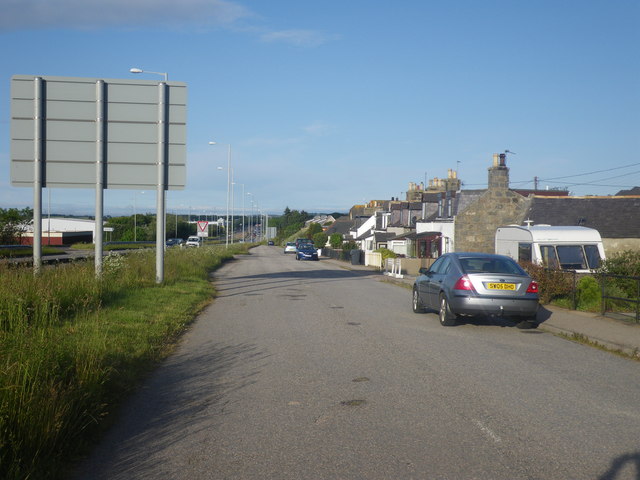
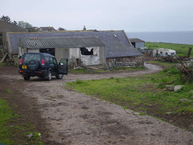
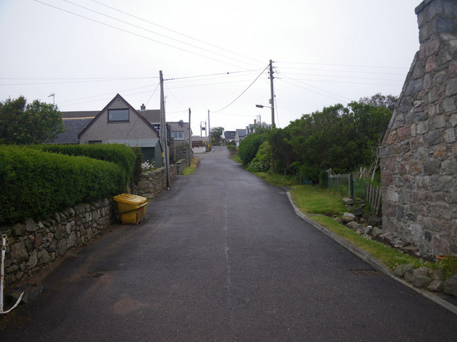
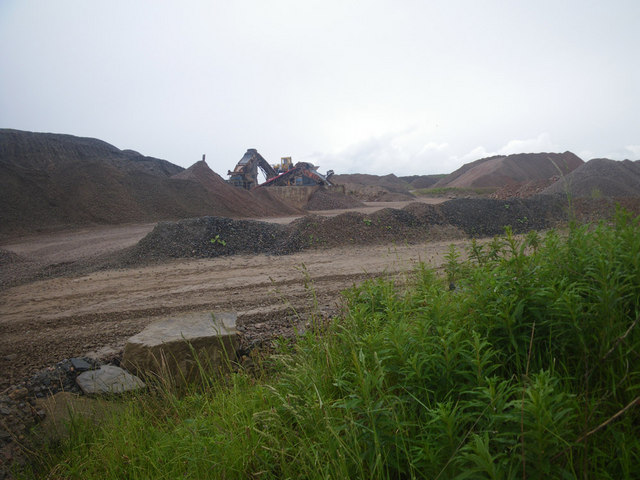
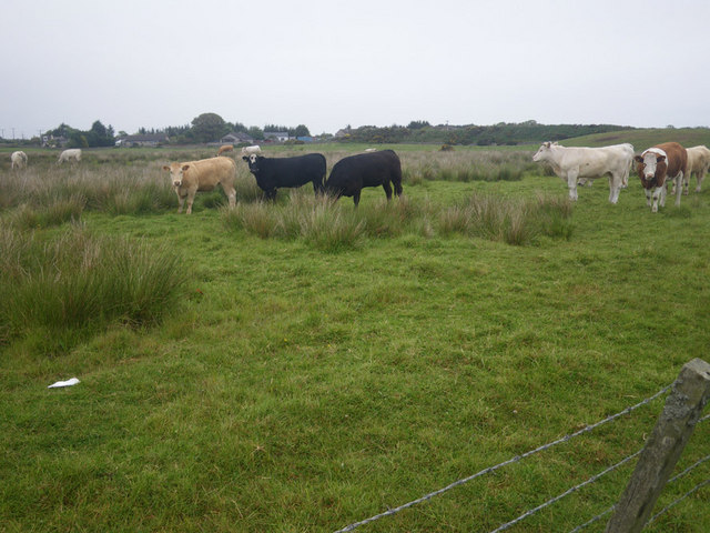
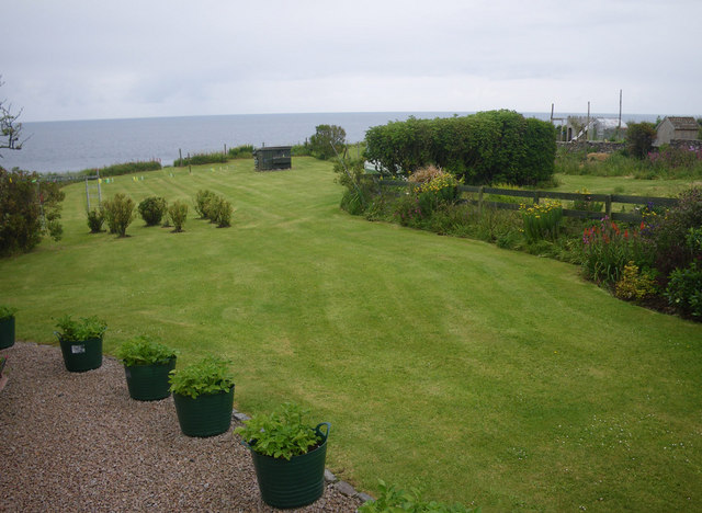
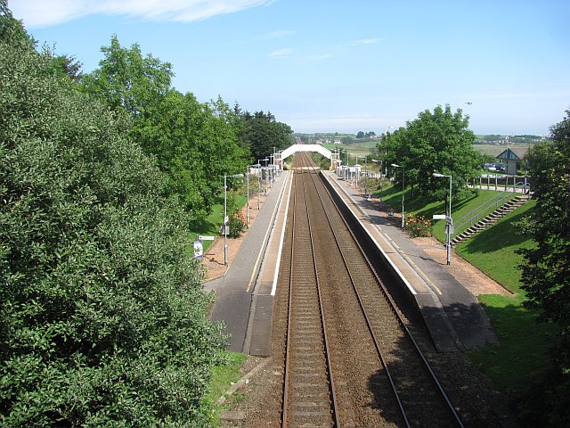
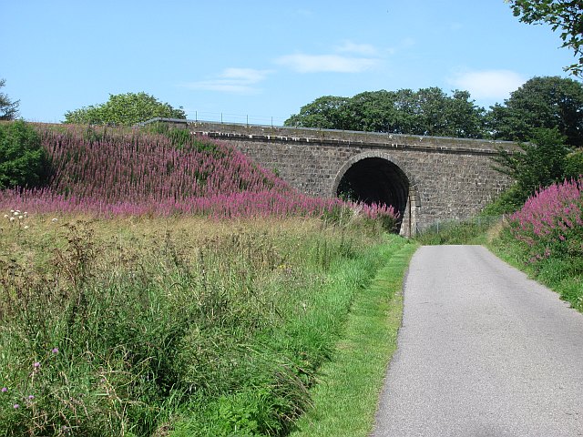
Images are sourced within 2km of 57.070904/-2.1093433 or Grid Reference NO9397. Thanks to Geograph Open Source API. All images are credited.
Gallows Hill is located at Grid Ref: NO9397 (Lat: 57.070904, Lng: -2.1093433)
Unitary Authority: Aberdeenshire
Police Authority: North East
What 3 Words
///decorated.typified.mailer. Near Portlethen, Aberdeenshire
Nearby Locations
Related Wikis

Findon, Aberdeenshire
Findon (Gaelic: Fionndan, Scots: Finnan) is a fishing village eight miles south of Aberdeen, famous for originating the smoked haddock known as Finnan...

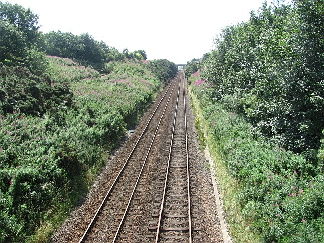
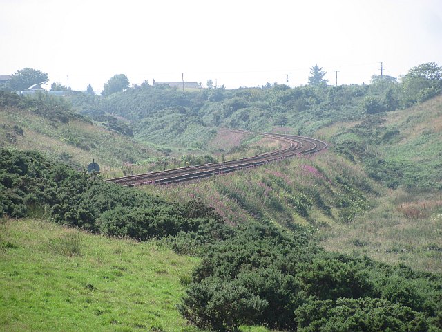
Portlethen railway station
Portlethen railway station serves the town of Portlethen in Aberdeenshire, Scotland. It is sited 232 miles 59 chains (374.6 km) from Carlisle via Perth...

Portlethen Village
Portlethen Village is a settlement located to the east of Portlethen along the North Sea coast in Aberdeenshire, Scotland. The village is also known as...

Portlethen
Portlethen (; Scottish Gaelic: Port Leathain) is a town located approximately 7 miles south of Aberdeen, Scotland along the A92. The population according...
Nearby Amenities
Located within 500m of 57.070904,-2.1093433Have you been to Gallows Hill?
Leave your review of Gallows Hill below (or comments, questions and feedback).