Uncle's Hillock

Hill, Mountain in Aberdeenshire

Scotland

Uncle's Hillock

Lest We Forget - Strichen The Strichen memorial out side the town hall.
Lest We Forget - Strichen Credit: Ralph Greig

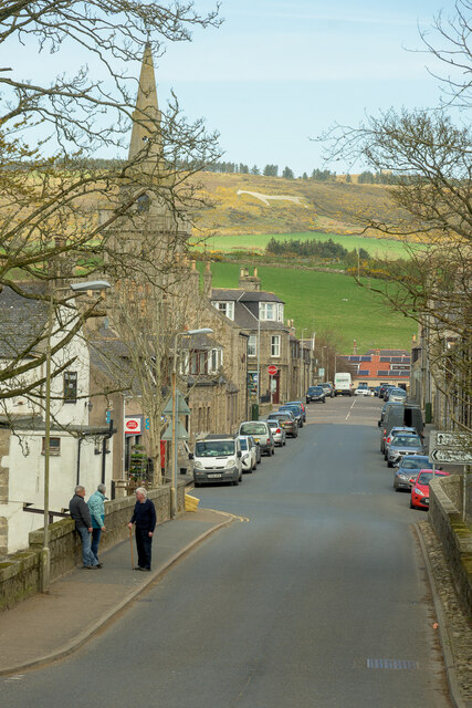
Uncle's Hillock is a small hill located in Aberdeenshire, Scotland. It is situated near the village of Insch and stands at a modest height of around 300 feet above sea level. The hill is known for its picturesque views of the surrounding countryside and is a popular spot for hikers and nature enthusiasts.

Uncle's Hillock is covered in lush green vegetation, including grasses, shrubs, and some scattered trees. The hill is also home to a variety of wildlife, such as birds, rabbits, and deer, making it a great place for birdwatching and wildlife spotting.

At the summit of Uncle's Hillock, visitors can enjoy panoramic views of the Aberdeenshire countryside, with rolling hills and farmland stretching out as far as the eye can see. On a clear day, it is possible to see all the way to the North Sea and even catch a glimpse of the distant mountains of the Cairngorms National Park.

Overall, Uncle's Hillock is a peaceful and scenic destination that offers a tranquil escape from the hustle and bustle of everyday life.

If you have any feedback on the listing, please let us know in the comments section below.

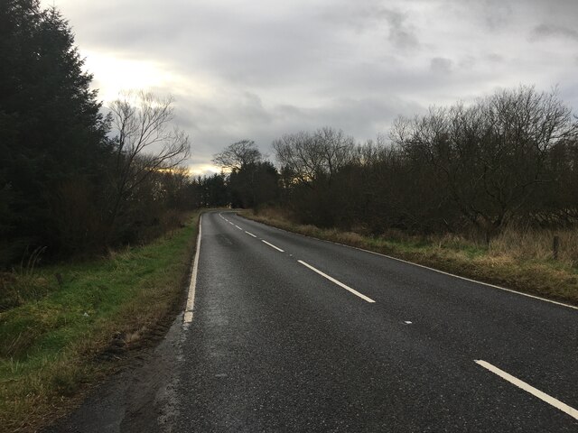
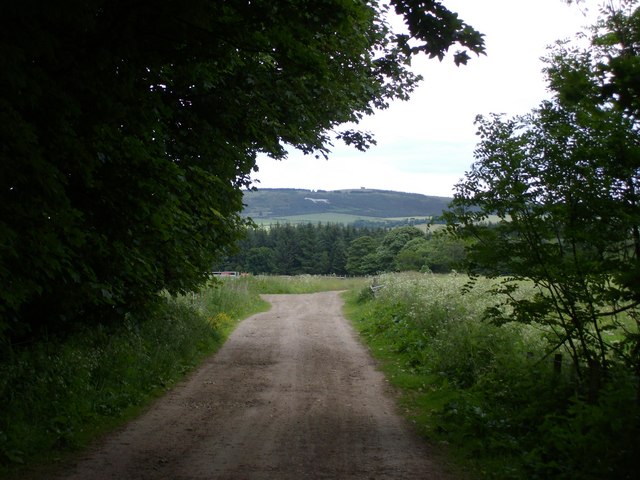
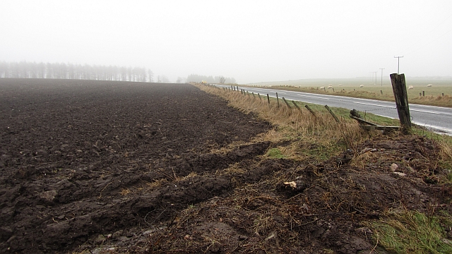
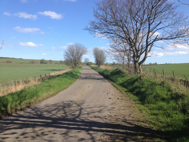
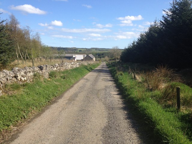
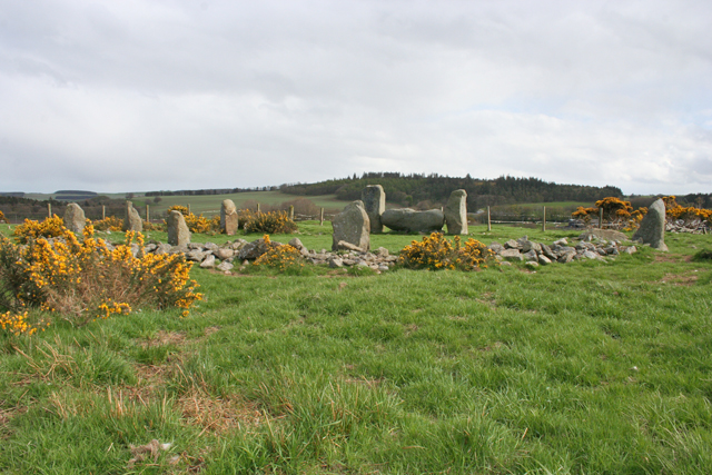
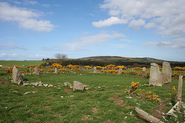
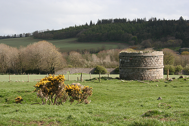
Uncle's Hillock Images

Images are sourced within 2km of 57.578842/-2.1107655 or Grid Reference NJ9354. Thanks to Geograph Open Source API. All images are credited.

Lest We Forget - Strichen The Strichen memorial out side the town hall.
Lest We Forget - Strichen
The Strichen memorial out side the town hall.
Bridge Street Strichen A view from the Community park up bridge street towards the White Horse of Mormond Hill
Bridge Street Strichen
A view from the Community park up bridge street towards the White Horse of Mormond Hill
Strichen telephone exchange Strichen telephone exchange is located in the centre of the village, hidden behind a wall.
Strichen telephone exchange
Strichen telephone exchange is located in the centre of the village, hidden behind a wall.
Church and graveyard for Strichen Village
Mill Farm
Mill Farm
B9093 in Strichen
B9093 in Strichen
A981 south of Strichen
A981 towards New Deer
White Horse on Mormond Hill fae Strichen Mains
Ploughed  field  south of Strichen A dull day with fog formed by warm damp air encountering thawing snow.
Ploughed field south of Strichen
A dull day with fog formed by warm damp air encountering thawing snow.
Minor road near Viewbank
Minor road at Borrohill
Whitehill Croft
Whitehill Croft
Strichen House Recumbent Stone Circle (1) This circle is a reconstruction. After a tenant farmer cleared it in 1830, the furious landlord made him rebuild it, but it was rebuilt in slightly the wrong place. This was completely removed in 1960. In 1979-1982 an archaeological investigation was undertaken, during which the correct positions of the stones were determined, and the circle was rebuilt on that basis. There are, however, some remaining anomalies in the alignment of some of the stones. See <span class="nowrap"><a title="http://canmore.rcahms.gov.uk/en/site/20754/details/strichen+house/" rel="nofollow ugc noopener" href="http://canmore.rcahms.gov.uk/en/site/20754/details/strichen+house/">Link</a><img style="margin-left:2px;" alt="External link" title="External link - shift click to open in new window" src="https://s1.geograph.org.uk/img/external.png" width="10" height="10"/></span> for more information. <a href="https://www.geograph.org.uk/photo/4468608">NJ9354 : Strichen House Recumbent Stone Circle (2)</a>
Strichen House Recumbent Stone Circle (1)
This circle is a reconstruction. After a tenant farmer cleared it in 1830, the furious landlord made him rebuild it, but it was rebuilt in slightly the wrong place. This was completely removed in 1960. In 1979-1982 an archaeological investigation was undertaken, during which the correct positions of the stones were determined, and the circle was rebuilt on that basis. There are, however, some remaining anomalies in the alignment of some of the stones. See LinkExternal link for more information. NJ9354 : Strichen House Recumbent Stone Circle (2)
Strichen House Recumbent Stone Circle (2) The circle from the corner of its fenced enclosure, with the recumbent and flankers to the right. The closest stone has fallen since the 1982 reconstruction. See <span class="nowrap"><a title="http://canmore.rcahms.gov.uk/en/site/20754/details/strichen+house/" rel="nofollow ugc noopener" href="http://canmore.rcahms.gov.uk/en/site/20754/details/strichen+house/">Link</a><img style="margin-left:2px;" alt="External link" title="External link - shift click to open in new window" src="https://s1.geograph.org.uk/img/external.png" width="10" height="10"/></span> for more information. <a href="https://www.geograph.org.uk/photo/4468630">NJ9354 : Strichen House Recumbent Stone Circle (3)</a>
Strichen House Recumbent Stone Circle (2)
The circle from the corner of its fenced enclosure, with the recumbent and flankers to the right. The closest stone has fallen since the 1982 reconstruction. See LinkExternal link for more information. NJ9354 : Strichen House Recumbent Stone Circle (3)
Strichen House Recumbent Stone Circle (3) The recumbent and flankers of the reconstructed circle. The positions of the stones are not quite in accord with the undisturbed circles elsewhere in that the flankers here protrude slightly beyond the face of the recumbent. See <span class="nowrap"><a title="http://canmore.rcahms.gov.uk/en/site/20754/details/strichen+house/" rel="nofollow ugc noopener" href="http://canmore.rcahms.gov.uk/en/site/20754/details/strichen+house/">Link</a><img style="margin-left:2px;" alt="External link" title="External link - shift click to open in new window" src="https://s1.geograph.org.uk/img/external.png" width="10" height="10"/></span> for more information. <a href="https://www.geograph.org.uk/photo/4468664">NJ9354 : Strichen House Recumbent Stone Circle (4)</a>
Strichen House Recumbent Stone Circle (3)
The recumbent and flankers of the reconstructed circle. The positions of the stones are not quite in accord with the undisturbed circles elsewhere in that the flankers here protrude slightly beyond the face of the recumbent. See LinkExternal link for more information. NJ9354 : Strichen House Recumbent Stone Circle (4)
Strichen House Doocot Only the lower part still stands. This doocot, with a larger than traditional internal diameter of 4 metres, is not an ancient monument. It dates from the 19th century, albeit before 1870 when the first edition of the Ordnance Survey six-inch map was surveyed.
Strichen House Doocot
Only the lower part still stands. This doocot, with a larger than traditional internal diameter of 4 metres, is not an ancient monument. It dates from the 19th century, albeit before 1870 when the first edition of the Ordnance Survey six-inch map was surveyed.
Show me another place!

Uncle's Hillock is located at Grid Ref: NJ9354 (Lat: 57.578842, Lng: -2.1107655)

Unitary Authority: Aberdeenshire

Police Authority: North East

What 3 Words

///century.storyline.cried. Near New Pitsligo, Aberdeenshire

Nearby Locations

Uncle's Hillock

Related Wikis

Strichen Town House

Strichen Town House is a municipal structure in High Street, Strichen, Aberdeenshire, Scotland. The building, which was the meeting place of Strichen Parish...

Strichen

Strichen is a village in Aberdeenshire, Scotland. It sits on the A981, connecting it to New Deer 7.2 miles (12 km) to the southwest and Fraserburgh 8 miles...

Strichen railway station

Strichen railway station was a railway station in Strichen, Aberdeenshire. == History == The station was opened on 24 April 1865 by the Formartine and...

Willows Animal Sanctuary

Willows Animal Sanctuary is an animal sanctuary in Fraserburgh, Aberdeenshire, Scotland. == History == Willows Animal Sanctuary was founded, on a 54-acre...

Nearby Amenities

Located within 500m of 57.578842,-2.1107655
Strichen Stone Circle
Archaeological Site: megalith
Historic: archaeological_site
Megalith Type: stone_circle
Ref Canmore: 20754
Wikidata: Q2341284
Wikipedia: en:Strichen stone circle
Lat/Long: 57.5804149/-2.1074402
Power: pole
Lat/Long: 57.5767781/-2.103399
Power: pole
Lat/Long: 57.5766861/-2.1045417
Power: pole
Lat/Long: 57.583036/-2.1134391
Power: pole
Lat/Long: 57.5824486/-2.1126539
Power: pole
Lat/Long: 57.5758533/-2.1053257
Power: pole
Lat/Long: 57.5764217/-2.1082016
Power: pole
Lat/Long: 57.5767017/-2.1091668
Power: pole
Lat/Long: 57.577075/-2.110494
Power: pole
Lat/Long: 57.5774472/-2.1116629
Power: pole
Lat/Long: 57.5778099/-2.1127943
Power: pole
Lat/Long: 57.5781652/-2.1139355
Power: pole
Lat/Long: 57.5785289/-2.1150985
Power: pole
Lat/Long: 57.5788088/-2.1159807
Power: pole
Lat/Long: 57.5790888/-2.1168787
Power: pole
Lat/Long: 57.5793518/-2.1177232
Power: pole
Lat/Long: 57.5789637/-2.1028039
Power: pole
Lat/Long: 57.5783539/-2.1031758
Power: pole
Lat/Long: 57.5783062/-2.1034922
Power: pole
Lat/Long: 57.5777198/-2.1042557
Power: pole
Lat/Long: 57.5771609/-2.1044119
The data included in this document is from www.openstreetmap.org. The data is made available under ODbL.

Have you been to Uncle's Hillock?

Leave your review of Uncle's Hillock below (or comments, questions and feedback).