Findon

Settlement in Kincardineshire

Scotland

Findon

Island residential street adjacent to dual carriageway This odd street has no access other than directly to the dual carriageway. Thus the sound levels are quite high here, as front yards face the A90.
Island residential street adjacent to dual carriageway Credit: C Michael Hogan

Findon is a small village located in the administrative area of Kincardineshire, Scotland. Situated on the northeastern coast of the country, it lies about 10 miles south of the city of Aberdeen. The village is positioned at the mouth of the River Dee, where it meets the North Sea.

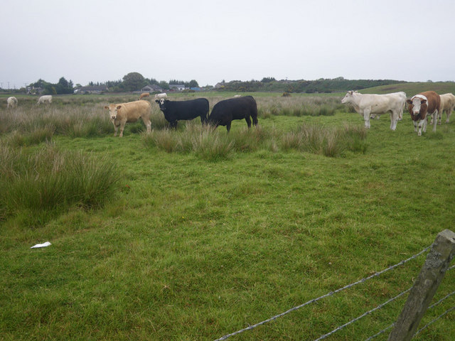
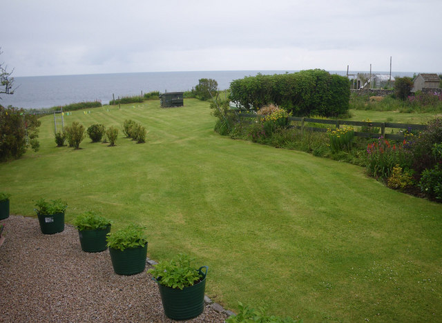
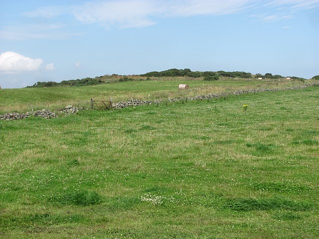
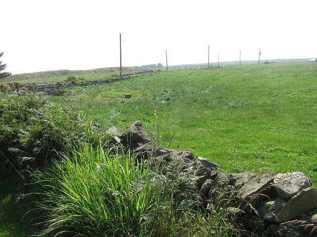
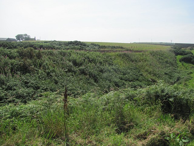
Findon is known for its picturesque coastal scenery and its proximity to the stunning countryside of Kincardineshire. The village offers beautiful views of the sea and surrounding landscapes, making it a popular destination for nature enthusiasts and those seeking tranquility. The area is rich in wildlife, with various bird species and marine life frequently spotted along the coastline.

The village itself is quite small, with a population of around 500 residents. It has a close-knit community feel and a friendly atmosphere. The local economy mainly revolves around agriculture, fishing, and tourism. The village is home to a few small businesses, including a pub and a local shop, which provide essential services to both residents and visitors.

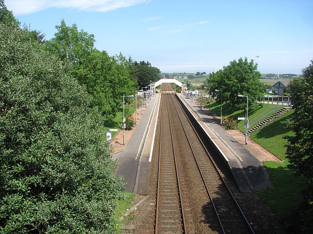
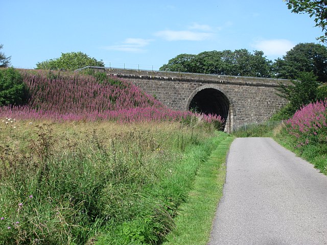
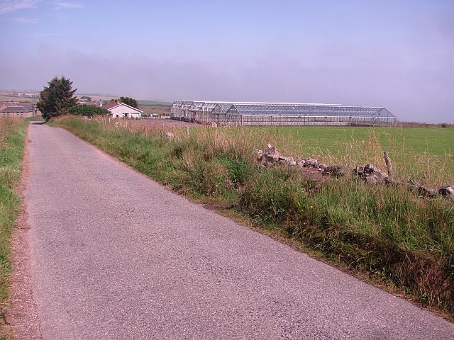
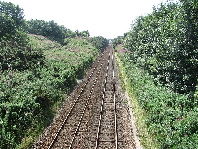
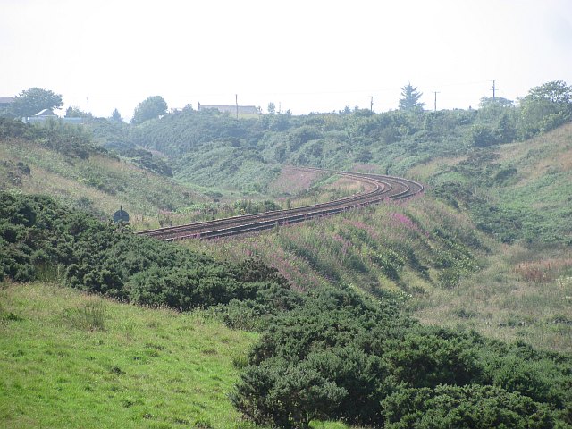
Findon boasts a rich historical background, with traces of ancient settlements and historical landmarks in the area. The nearby Dunnottar Castle, a medieval fortress perched on a cliff, is a popular attraction for tourists. Additionally, the village is well-connected to nearby towns and cities, with good transportation links, including a nearby train station and major road networks.

In summary, Findon is a charming coastal village in Kincardineshire, Scotland. With its stunning natural beauty, friendly community, and historical significance, it offers a peaceful retreat for residents and visitors alike.

If you have any feedback on the listing, please let us know in the comments section below.
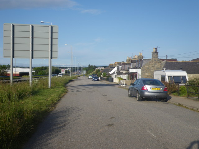
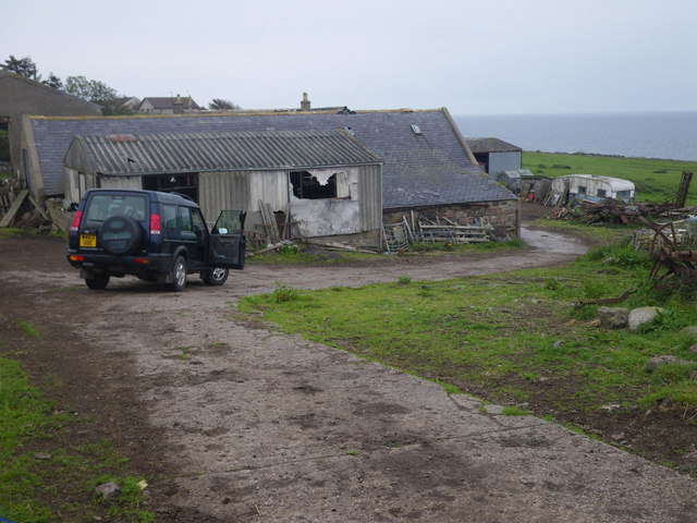
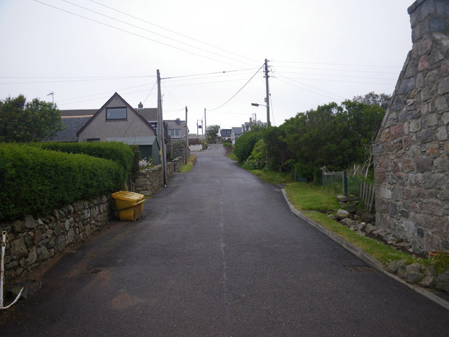
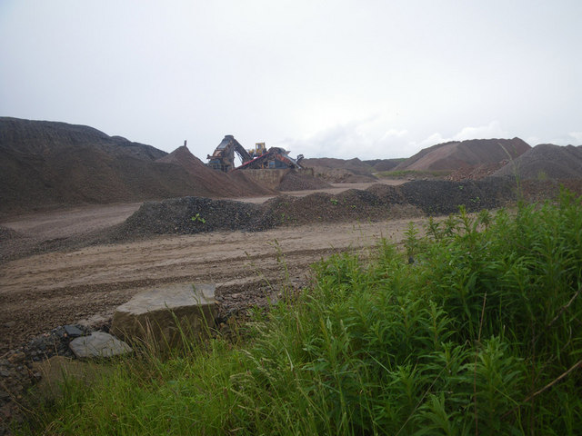
Findon Images

Images are sourced within 2km of 57.068983/-2.1074741 or Grid Reference NO9397. Thanks to Geograph Open Source API. All images are credited.

Island residential street adjacent to dual carriageway This odd street has no access other than directly to the dual carriageway. Thus the sound levels are quite high here, as front yards face the A90.
Island residential street adjacent to dual carriageway
This odd street has no access other than directly to the dual carriageway. Thus the sound levels are quite high here, as front yards face the A90.
Coastal scene at England farm A wisp of the North Sea is visible at image upper right. This locale is only accessible on an unpaved farm road; hence the 4x4 vehicle is desirable.
Coastal scene at England farm
A wisp of the North Sea is visible at image upper right. This locale is only accessible on an unpaved farm road; hence the 4x4 vehicle is desirable.
Residential lane in Old Portlethen Photographer is standing at the edge of the paved lane.
Residential lane in Old Portlethen
Photographer is standing at the edge of the paved lane.
Strange coastal industrial land use Photographer is standing near a large scale industrial gravel staging area; moreover, this type of land use so near the beautiful rugged coastline is a very strange council decision.
Strange coastal industrial land use
Photographer is standing near a large scale industrial gravel staging area; moreover, this type of land use so near the beautiful rugged coastline is a very strange council decision.
Cows grazing not far from the coastline This pasture is very moist and exhibits a high occurrence of Juncus species.
Cows grazing not far from the coastline
This pasture is very moist and exhibits a high occurrence of Juncus species.
Coastal access limited by residential uses Since there is no parking and no signage present, the coastal visitor here in Old Portlethen is in a quandary as to how best to achieve access to the beautiful rugged coastline that lies beyond. Most significantly, the planning decisions that led up to the present land use configuration, are confusing to say the least, with a curtain wall of single family residences effectively occupying most of the potential coastal access from the village.
Coastal access limited by residential uses
Since there is no parking and no signage present, the coastal visitor here in Old Portlethen is in a quandary as to how best to achieve access to the beautiful rugged coastline that lies beyond. Most significantly, the planning decisions that led up to the present land use configuration, are confusing to say the least, with a curtain wall of single family residences effectively occupying most of the potential coastal access from the village.
Portlethen Railway Station View from an overbridge, looking northwards.  This has been the site of a station for a long time, since well before the building of a small town at Portlethen and it used to serve Portlethen Village on the coast.
Portlethen Railway Station
View from an overbridge, looking northwards. This has been the site of a station for a long time, since well before the building of a small town at Portlethen and it used to serve Portlethen Village on the coast.
Railway bridge, Portlethen A massive bridge on a long embankment. The railway crosses Thistle Drive and route 1 of the National Cycle Network.
Railway bridge, Portlethen
A massive bridge on a long embankment. The railway crosses Thistle Drive and route 1 of the National Cycle Network.
Reemit Hill Grass fields outside Findon.  The dyke conceals a minor road.
Reemit Hill
Grass fields outside Findon. The dyke conceals a minor road.
Middleton The glass houses do not appear on maps or aerial photographs, and are probably new. The coast is not far away and the haar can be seen in the background. It was soon to return to the land.
Middleton
The glass houses do not appear on maps or aerial photographs, and are probably new. The coast is not far away and the haar can be seen in the background. It was soon to return to the land.
Field, North Mains of Findon A grass field inside a bend on a minor road. The haar is advancing from the North Sea and was soon to bring on a foggy afternoon.
Field, North Mains of Findon
A grass field inside a bend on a minor road. The haar is advancing from the North Sea and was soon to bring on a foggy afternoon.
Railway, Findon The Aberdeen to Dundee railway gives some exciting views of the coast on this stretch.
Railway, Findon
The Aberdeen to Dundee railway gives some exciting views of the coast on this stretch.
Railway, Portlethen Looking southwards on the railway serving Aberdeen.
Railway, Portlethen
Looking southwards on the railway serving Aberdeen.
Barley, Hill of Findon Industrial activity on the other side of the railway.
Barley, Hill of Findon
Industrial activity on the other side of the railway.
Mains of Cairnrobin Derelict farm with a nearby quarry.
Mains of Cairnrobin
Derelict farm with a nearby quarry.
Gravel pit, Finedon Extensive quarry workings beside the railway.
Gravel pit, Finedon
Extensive quarry workings beside the railway.
Railway south of Aberdeen Approaching Portlethen.
Railway south of Aberdeen
Approaching Portlethen.
The haar returns After a couple of hours of sunshine, the sea mist returns to land.
The haar returns
After a couple of hours of sunshine, the sea mist returns to land.
Show me another place!

Findon is located at Grid Ref: NO9397 (Lat: 57.068983, Lng: -2.1074741)

Unitary Authority: Aberdeenshire

Police Authority: North East

What 3 Words

///apron.standards.scribble. Near Portlethen, Aberdeenshire

Related Wikis

Findon, Aberdeenshire

Findon (Gaelic: Fionndan, Scots: Finnan) is a fishing village eight miles south of Aberdeen, famous for originating the smoked haddock known as Finnan...

Portlethen Village

Portlethen Village is a settlement located to the east of Portlethen along the North Sea coast in Aberdeenshire, Scotland. The village is also known as...

Portlethen railway station

Portlethen railway station serves the town of Portlethen in Aberdeenshire, Scotland. It is sited 232 miles 59 chains (374.6 km) from Carlisle via Perth...

Portlethen

Portlethen (; Scottish Gaelic: Port Leathain) is a town located approximately 7 miles south of Aberdeen, Scotland along the A92. The population according...

Nearby Amenities

Located within 500m of 57.068983,-2.1074741
Post Box
Postal Code: AB12
Ref: AB12 297
Source: survey
Lat/Long: 57.0688378/-2.1071988
Findon
Name Sco: Finnan
Place: village
Lat/Long: 57.0686746/-2.1048863
Generator Method: photovoltaic
Generator Output Electricity: yes
Generator Source: solar
Generator Type: solar_photovoltaic_panel
Location: roof
Power: generator
Lat/Long: 57.0683298/-2.1025904
Generator Method: photovoltaic
Generator Output Electricity: yes
Generator Source: solar
Generator Type: solar_photovoltaic_panel
Location: roof
Power: generator
Lat/Long: 57.0683174/-2.1030946
Generator Method: photovoltaic
Generator Output Electricity: yes
Generator Source: solar
Generator Type: solar_photovoltaic_panel
Location: roof
Power: generator
Lat/Long: 57.0686054/-2.1040535
Generator Method: photovoltaic
Generator Output Electricity: yes
Generator Source: solar
Generator Type: solar_photovoltaic_panel
Location: roof
Power: generator
Lat/Long: 57.0694037/-2.105455
Generator Method: photovoltaic
Generator Output Electricity: yes
Generator Source: solar
Generator Type: solar_photovoltaic_panel
Location: roof
Power: generator
Lat/Long: 57.0694635/-2.1066311
Generator Method: photovoltaic
Generator Output Electricity: yes
Generator Source: solar
Generator Type: solar_photovoltaic_panel
Location: roof
Power: generator
Lat/Long: 57.067191/-2.113106
Generator Method: photovoltaic
Generator Output Electricity: yes
Generator Source: solar
Generator Type: solar_photovoltaic_panel
Location: roof
Power: generator
Lat/Long: 57.0674899/-2.1132293
Power: pole
Lat/Long: 57.0666104/-2.1133
Power: pole
Lat/Long: 57.0670105/-2.1128079
Power: pole
Lat/Long: 57.0677231/-2.1119638
Power: pole
Lat/Long: 57.0684069/-2.1111154
Power: pole
Lat/Long: 57.06886/-2.1106679
Power: pole
Lat/Long: 57.0693189/-2.110566
Power: pole
Lat/Long: 57.0695011/-2.1104112
Power: pole
Lat/Long: 57.0699807/-2.1100104
Power: pole
Lat/Long: 57.0706622/-2.1094228
Power: pole
Lat/Long: 57.0713747/-2.1088205
Power: pole
Lat/Long: 57.0720676/-2.1082415
Power: pole
Lat/Long: 57.0727605/-2.1076688
Power: pole
Lat/Long: 57.0734442/-2.1070834
Power: pole
Lat/Long: 57.0666427/-2.1143329
Power: pole
Lat/Long: 57.0672815/-2.1148631
Power: pole
Lat/Long: 57.0675951/-2.1150328
Power: pole
Lat/Long: 57.069357/-2.1146722
Power: pole
Lat/Long: 57.0693823/-2.1136584
Power: pole
Lat/Long: 57.0694158/-2.1125131
Power: pole
Lat/Long: 57.0694561/-2.1115714
Power: pole
Lat/Long: 57.0646864/-2.1067366
Power: pole
Lat/Long: 57.0652526/-2.1074567
Power: pole
Lat/Long: 57.0658891/-2.1076837
Power: pole
Lat/Long: 57.0664772/-2.1079064
Power: pole
Lat/Long: 57.0670855/-2.1081312
Power: pole
Lat/Long: 57.0676816/-2.1083571
Power: pole
Lat/Long: 57.0679555/-2.1087208
Power: pole
Lat/Long: 57.0685562/-2.1095342
Power: pole
Lat/Long: 57.06889/-2.1099955
Power: pole
Lat/Long: 57.0688476/-2.1084541
Power: pole
Lat/Long: 57.0688303/-2.1073872
Power: pole
Lat/Long: 57.0684856/-2.1068549
The data included in this document is from www.openstreetmap.org. The data is made available under ODbL.

Have you been to Findon?

Leave your review of Findon below (or comments, questions and feedback).