Kerry Hill

Hill, Mountain in Staffordshire Staffordshire Moorlands

England

Kerry Hill

Ash Road Terrace on Werrington Road
Ash Road Terrace on Werrington Road Credit: Eirian Evans

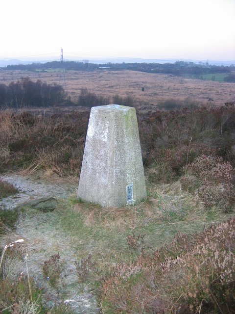
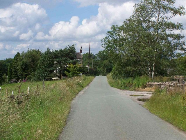
Kerry Hill is a small hill located in the county of Staffordshire, England. With an elevation of approximately 350 meters (1150 feet), it is not particularly high compared to other peaks in the region, but still offers stunning views of the surrounding countryside.

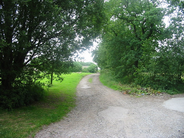
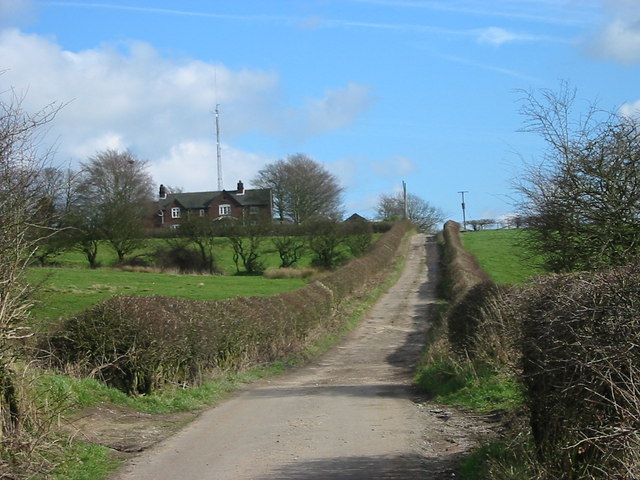
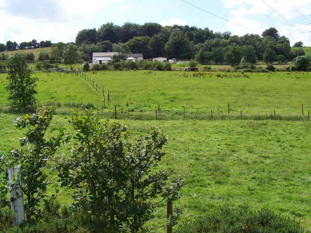
Situated near the village of Kerry, the hill is a popular destination for nature enthusiasts and hikers. Its gentle slopes and well-maintained footpaths make it accessible to people of all ages and fitness levels. The hill is often covered in lush green grass, dotted with colorful wildflowers during the spring and summer months.

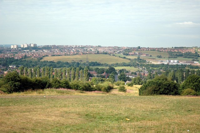
The summit of Kerry Hill provides panoramic vistas of the Staffordshire Moorlands, rolling farmlands, and quaint villages nestled in the valley below. On clear days, it is even possible to see as far as the peaks of the Peak District National Park, located to the north.

The hill is also home to a variety of wildlife, including rabbits, foxes, and various bird species. Nature lovers can often spot buzzards soaring overhead, while sheep and cattle graze peacefully on the slopes.

There are several walking routes that take visitors through the tranquil countryside surrounding Kerry Hill, allowing them to explore the area's natural beauty at a leisurely pace. The hill offers a peaceful escape from the noise and bustle of everyday life, with its serene atmosphere and breathtaking views.

If you have any feedback on the listing, please let us know in the comments section below.
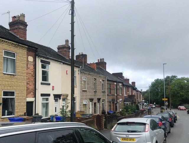
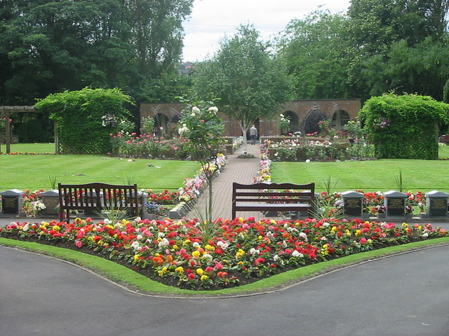
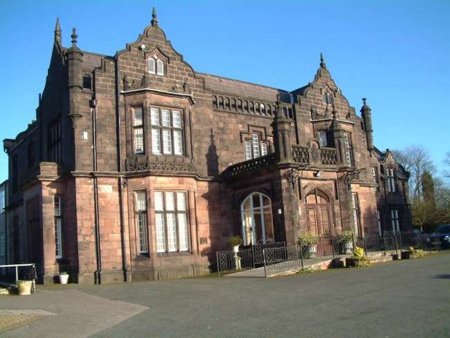
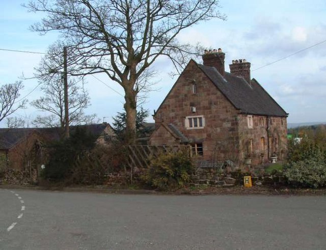
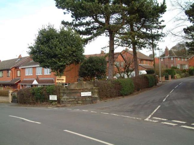
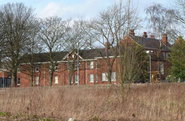
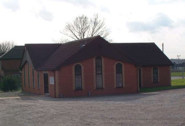
Kerry Hill Images

Images are sourced within 2km of 53.038669/-2.1150929 or Grid Reference SJ9249. Thanks to Geograph Open Source API. All images are credited.

Ash Road Terrace on Werrington Road
Wetley Moor Trigpoint on the edge of a substantial heather moorland remnant.  Near Stoke on Trent, the  Pennine grits are making their presence felt with characteristic low fertility.
Wetley Moor
Trigpoint on the edge of a substantial heather moorland remnant. Near Stoke on Trent, the Pennine grits are making their presence felt with characteristic low fertility.
Carmountside Cemetery The Memorial Gardens at Carmountside Cemetery, Stoke on Trent where cremated ashes are spread.
Carmountside Cemetery
The Memorial Gardens at Carmountside Cemetery, Stoke on Trent where cremated ashes are spread.
Wetley Moor Entrance One of the many access points to Wetley Moor off Brookhouse Lane. The moor is common land and is an area of Special Scientific Interest.
Wetley Moor Entrance
One of the many access points to Wetley Moor off Brookhouse Lane. The moor is common land and is an area of Special Scientific Interest.
Ash Hall Job Meigh (a local potter) became the owner of the Ash Estate on 27th of March 1837. Construction of the house must have begun almost immediately because the date “1837” appears on the rainwater heads on the front of the building.

1840 account of the hall: "The exterior is of hard stone, (gotten on the estate,) of an Ash colour, giving the building an air of antiquity which harmonizes with the stile (sic.) of the architecture, being that of the manor house or Tudor era, with oriel windows, surmounted with pediments or pointed gables. An elegant portico, composed of three Gothic arches, turreted and embattled, adorns the front. The adjoining lawn is tastefully laid out and planted; and altogether, we must characterize Ash Hall as one of the most beautiful seats we have had occasion to notice.”
Ash Hall
Job Meigh (a local potter) became the owner of the Ash Estate on 27th of March 1837. Construction of the house must have begun almost immediately because the date “1837” appears on the rainwater heads on the front of the building. 1840 account of the hall: "The exterior is of hard stone, (gotten on the estate,) of an Ash colour, giving the building an air of antiquity which harmonizes with the stile (sic.) of the architecture, being that of the manor house or Tudor era, with oriel windows, surmounted with pediments or pointed gables. An elegant portico, composed of three Gothic arches, turreted and embattled, adorns the front. The adjoining lawn is tastefully laid out and planted; and altogether, we must characterize Ash Hall as one of the most beautiful seats we have had occasion to notice.”
Greenfields Farm, Kerry Hill On Jack Hayes Lane near to the junction with Eaves Lane at Kerry Hill, Stoke-on-Trent
Greenfields Farm, Kerry Hill
On Jack Hayes Lane near to the junction with Eaves Lane at Kerry Hill, Stoke-on-Trent
Housing at Eaves Lane, Abbey Hulton Corner of Eaves Lane (to the right) and Greasely Road.
Housing at Eaves Lane, Abbey Hulton
Corner of Eaves Lane (to the right) and Greasely Road.
Bucknall Hospital Specialised hospitals like Bucknall Hospital, run by the local authorities, were opening to treat infectious diseases, and to prevent the spread of the disease by isolating infected patients.
Bucknall Hospital
Specialised hospitals like Bucknall Hospital, run by the local authorities, were opening to treat infectious diseases, and to prevent the spread of the disease by isolating infected patients.
Bucknall Pentecostal Church Assemblies of God Church on Eaves Lane, Bucknall.
Bucknall Pentecostal Church
Assemblies of God Church on Eaves Lane, Bucknall.
Woodhead Farm Woodhead Road, Abbey Hulton, Stoke on Trent, showing the farm and communications mast behind.
Woodhead Farm
Woodhead Road, Abbey Hulton, Stoke on Trent, showing the farm and communications mast behind.
View Across to Birches Head Taken from the land behind the Crematorium next to Woodhead Lane
View Across to Birches Head
Taken from the land behind the Crematorium next to Woodhead Lane
The Grove
The Grove
Brookhouse
Brookhouse
Wetley Moor An SSSI of low (273m) moorland just starting to turn purple with heather and willow herb.
Wetley Moor
An SSSI of low (273m) moorland just starting to turn purple with heather and willow herb.
Edge of Wetley Moor The sound of barking dogs emanating from the two kennels businesses hereabouts reverberate over a wild scene.
Edge of Wetley Moor
The sound of barking dogs emanating from the two kennels businesses hereabouts reverberate over a wild scene.
Abbey Hulton, St. John
Eaves Lane, Abbey Hulton The countryside near Abbey Hulton; in the distance is the edge of the residential area.
Eaves Lane, Abbey Hulton
The countryside near Abbey Hulton; in the distance is the edge of the residential area.
Greasley Road, Abbey Hulton Looking south along Greasley Road. On the left of the photo is what was perhaps once a pub sign: the fairly new houses behind it may have replaced a pub.
Greasley Road, Abbey Hulton
Looking south along Greasley Road. On the left of the photo is what was perhaps once a pub sign: the fairly new houses behind it may have replaced a pub.
Show me another place!

Kerry Hill is located at Grid Ref: SJ9249 (Lat: 53.038669, Lng: -2.1150929)

Administrative County: Staffordshire

District: Staffordshire Moorlands

Police Authority: Staffordshire

What 3 Words

///slimy.soil.funds. Near Stoke-on-Trent, Staffordshire

Related Wikis

Baddeley Edge

Baddeley Edge is a hamlet in the north of the city of Stoke-on-Trent, in the north of the county of Staffordshire. == Electoral Boundaries == It was formerly...

Abbey Hill Academy

Abbey Hill Academy and College (formerly Abbey Hill School)' is a special school located in Stoke-on-Trent, Staffordshire, England.The school was previously...

Abbey Green ward

Abbey Green was an electoral ward of Stoke-on-Trent. The ward covered the areas of Baddeley Green, Milton and Abbey Hulton as well as Baddeley Edge and...

Armshead

Armshead is a hamlet in Staffordshire, England. Population details for the 2011 census can be found under Cheddleton.

Nearby Amenities

Located within 500m of 53.038669,-2.1150929
Power: tower
Lat/Long: 53.0407259/-2.1128119
Power: tower
Lat/Long: 53.0402957/-2.1220576
Power: tower
Lat/Long: 53.0409114/-2.1090555
Power: tower
Lat/Long: 53.0405659/-2.1161951
Power: pole
Lat/Long: 53.0388955/-2.1225233
Barrier: horse_stile
Bicycle: yes
Foot: yes
Horse: yes
Material: wood
Motor Vehicle: no
Lat/Long: 53.0389302/-2.1086555
Addr Housename: Lynwood
Lat/Long: 53.0398229/-2.1121374
Power: pole
Lat/Long: 53.0361071/-2.1151629
Addr Housename: Fairview
Lat/Long: 53.0398034/-2.1123627
Addr Housename: Hillside
Lat/Long: 53.0379023/-2.1147893
Power: pole
Lat/Long: 53.0368959/-2.1128405
Power: pole
Lat/Long: 53.0361765/-2.1206
Power: pole
Lat/Long: 53.0361378/-2.1197699
Power: pole
Lat/Long: 53.0360942/-2.1186098
Power: pole
Lat/Long: 53.0354265/-2.1182102
Power: pole
Lat/Long: 53.0359636/-2.1156138
Power: pole
Lat/Long: 53.036062/-2.1098955
Power: pole
Lat/Long: 53.0368039/-2.1102898
Power: pole
Lat/Long: 53.0360523/-2.1175262
Power: pole
Lat/Long: 53.0372571/-2.1117946
The data included in this document is from www.openstreetmap.org. The data is made available under ODbL.

Have you been to Kerry Hill?

Leave your review of Kerry Hill below (or comments, questions and feedback).