Jack Hayes

Settlement in Staffordshire Staffordshire Moorlands

England

Jack Hayes

Wetley Moor Trigpoint on the edge of a substantial heather moorland remnant.  Near Stoke on Trent, the  Pennine grits are making their presence felt with characteristic low fertility.
Wetley Moor Credit: Richard Webb

Jack Hayes is a small village located in the county of Staffordshire, England. Situated in the West Midlands region, it is nestled within the picturesque countryside, offering residents and visitors a tranquil and idyllic setting. The village is part of the wider Staffordshire Moorlands district and falls within the Staffordshire Moorlands parliamentary constituency.

Despite its small size, Jack Hayes boasts a rich history dating back centuries. The origins of the village can be traced back to medieval times, and evidence of this can be seen in the architecture of some of its historic buildings. The village is also known for its connection to the pottery industry, which thrived in Staffordshire during the 18th and 19th centuries.

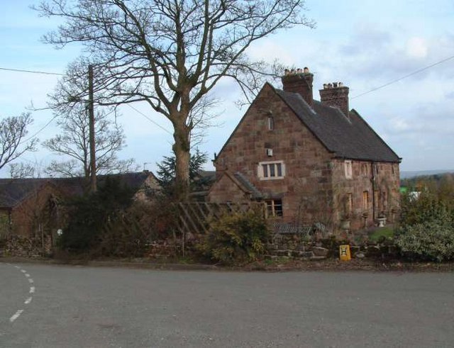
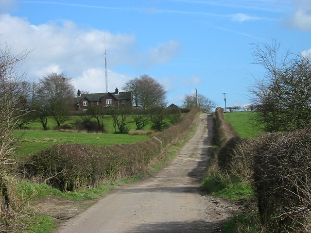
Today, Jack Hayes is primarily a residential area, with a close-knit community that fosters a strong sense of belonging. The village is characterized by its charming cottages, well-maintained gardens, and peaceful atmosphere. The residents take great pride in preserving the village's heritage and maintaining its natural beauty.

While Jack Hayes may lack the amenities of larger towns, it benefits from its proximity to nearby market towns and cities. The village is conveniently located just a short drive away from Stafford, Stoke-on-Trent, and Newcastle-under-Lyme, which offer a wide range of services, shops, and entertainment options.

In conclusion, Jack Hayes is a small but charming village in Staffordshire, England. With its rich history, beautiful scenery, and close-knit community, it offers a peaceful and idyllic lifestyle for its residents.

If you have any feedback on the listing, please let us know in the comments section below.
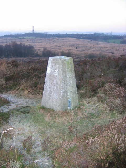
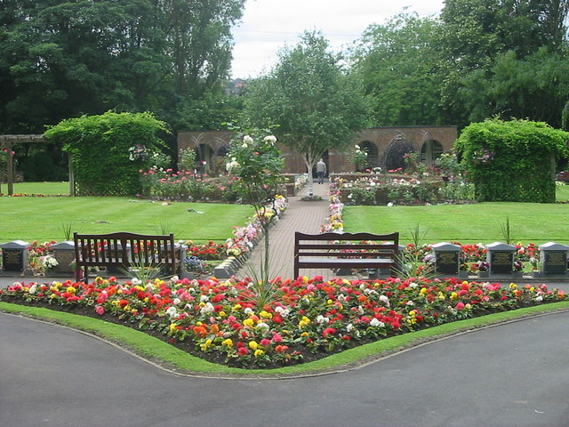
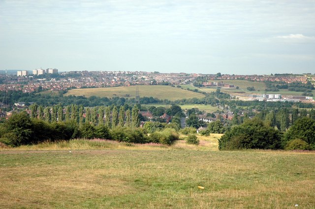
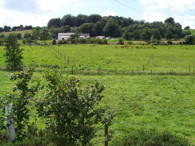
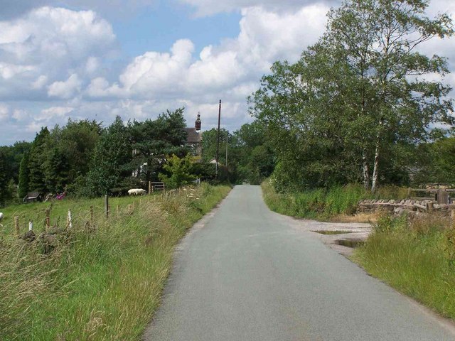
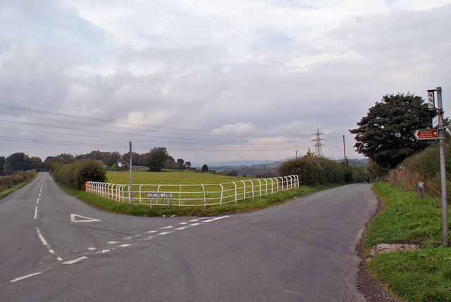
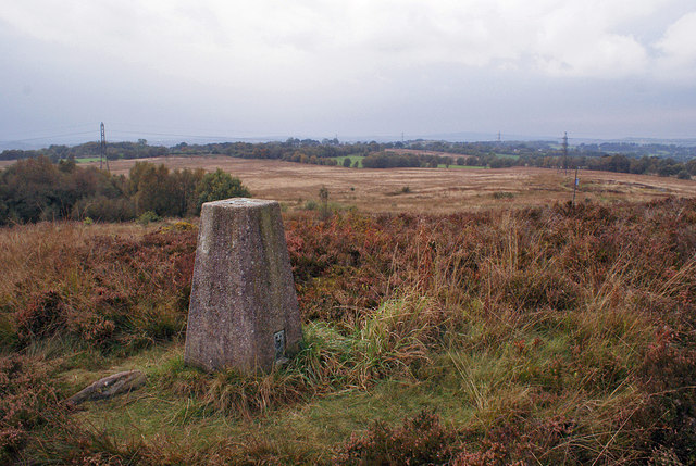
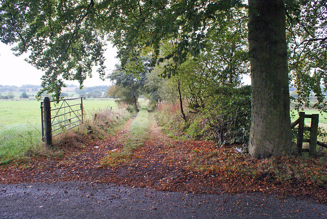
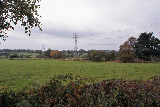
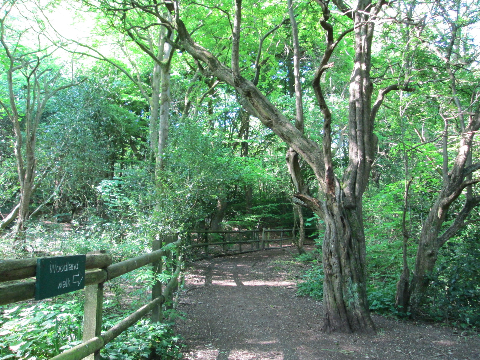
Jack Hayes Images

Images are sourced within 2km of 53.046382/-2.114677 or Grid Reference SJ9249. Thanks to Geograph Open Source API. All images are credited.

Wetley Moor Trigpoint on the edge of a substantial heather moorland remnant.  Near Stoke on Trent, the  Pennine grits are making their presence felt with characteristic low fertility.
Wetley Moor
Trigpoint on the edge of a substantial heather moorland remnant. Near Stoke on Trent, the Pennine grits are making their presence felt with characteristic low fertility.
Carmountside Cemetery The Memorial Gardens at Carmountside Cemetery, Stoke on Trent where cremated ashes are spread.
Carmountside Cemetery
The Memorial Gardens at Carmountside Cemetery, Stoke on Trent where cremated ashes are spread.
Greenfields Farm, Kerry Hill On Jack Hayes Lane near to the junction with Eaves Lane at Kerry Hill, Stoke-on-Trent
Greenfields Farm, Kerry Hill
On Jack Hayes Lane near to the junction with Eaves Lane at Kerry Hill, Stoke-on-Trent
Woodhead Farm Woodhead Road, Abbey Hulton, Stoke on Trent, showing the farm and communications mast behind.
Woodhead Farm
Woodhead Road, Abbey Hulton, Stoke on Trent, showing the farm and communications mast behind.
View Across to Birches Head Taken from the land behind the Crematorium next to Woodhead Lane
View Across to Birches Head
Taken from the land behind the Crematorium next to Woodhead Lane
The Grove
The Grove
Brookhouse
Brookhouse
Wetley Moor An SSSI of low (273m) moorland just starting to turn purple with heather and willow herb.
Wetley Moor
An SSSI of low (273m) moorland just starting to turn purple with heather and willow herb.
Edge of Wetley Moor The sound of barking dogs emanating from the two kennels businesses hereabouts reverberate over a wild scene.
Edge of Wetley Moor
The sound of barking dogs emanating from the two kennels businesses hereabouts reverberate over a wild scene.
Track on Wetley Moor There are many footpaths across the moor, some of which have waymarkers to indicate circular walks.
Track on Wetley Moor
There are many footpaths across the moor, some of which have waymarkers to indicate circular walks.
Track onto Wetley Moor There are many tracks and footpaths across the moor.
Track onto Wetley Moor
There are many tracks and footpaths across the moor.
Junction on Armshead Road The fence creates a stock proof boundary but allows a good view for traffic using the junction. To the right, Armshead Road continues to Longsdon. To the left is Luzlow Lane, which leads to Bagnall, Stanley and Endon.
Junction on Armshead Road
The fence creates a stock proof boundary but allows a good view for traffic using the junction. To the right, Armshead Road continues to Longsdon. To the left is Luzlow Lane, which leads to Bagnall, Stanley and Endon.
Wetley Moor trig point Looking north west past the trig point.
Wetley Moor trig point
Looking north west past the trig point.
Wetley Moor trig point Looking south west past the trig point.
Wetley Moor trig point
Looking south west past the trig point.
Path and bench on Wetley Moor The moor is criss-crossed by many footpaths.
Path and bench on Wetley Moor
The moor is criss-crossed by many footpaths.
Access to the moor A gated narrow gap in the wall provides access by this footpath from Armshead to Wetley Moor.
Access to the moor
A gated narrow gap in the wall provides access by this footpath from Armshead to Wetley Moor.
Field access track This track starts from an unclassified road, and provides access to fields north of Werrington.
Field access track
This track starts from an unclassified road, and provides access to fields north of Werrington.
Fields north of Werrington Viewed over a hedge from an unclassified road.
Fields north of Werrington
Viewed over a hedge from an unclassified road.
Show me another place!

Jack Hayes is located at Grid Ref: SJ9249 (Lat: 53.046382, Lng: -2.114677)

Administrative County: Staffordshire

District: Staffordshire Moorlands

Police Authority: Staffordshire

What 3 Words

///javelin.tweezers.birds. Near Cheddleton, Staffordshire

Related Wikis

Bagnall, Staffordshire

Bagnall is a village and civil parish in Staffordshire, England, north-east of Stoke-on-Trent. Although Bagnall is located only a few short miles from...

Bagnall Road Wood

Bagnall Road Wood is a local nature reserve near Milton, on the eastern fringe of Stoke-on-Trent, England. == History and description == The site was a...

Baddeley Edge

Baddeley Edge is a hamlet in the north of the city of Stoke-on-Trent, in the north of the county of Staffordshire. == Electoral Boundaries == It was formerly...

Abbey Green ward

Abbey Green was an electoral ward of Stoke-on-Trent. The ward covered the areas of Baddeley Green, Milton and Abbey Hulton as well as Baddeley Edge and...

Milton, Staffordshire

Milton is an area of Stoke-on-Trent, in the county of Staffordshire, England. It is mainly situated between the A5009 and A53 roads. It shares its borders...

Abbey Hill Academy

Abbey Hill Academy and College (formerly Abbey Hill School)' is a special school located in Stoke-on-Trent, Staffordshire, England.The school was previously...

Hulton Abbey

Hulton Abbey is a scheduled monument in the United Kingdom, a former monastery located in what is now Abbey Hulton, a suburb of Stoke-on-Trent. A daughter...

Ford Green Brook

Ford Green Brook flows through Staffordshire and the outlying areas of Stoke-on-Trent, England. It is the first named tributary stream of the River Trent...

Nearby Amenities

Located within 500m of 53.046382,-2.114677
Traffic Calming: hump
Lat/Long: 53.0479693/-2.1211501
Power: pole
Lat/Long: 53.0504558/-2.1173117
Power: pole
Lat/Long: 53.04959/-2.1179661
Power: pole
Lat/Long: 53.0476108/-2.1194521
Power: pole
Lat/Long: 53.0471246/-2.1198235
Power: pole
Lat/Long: 53.0463136/-2.1204686
Power: pole
Lat/Long: 53.0459798/-2.1207422
Power: pole
Lat/Long: 53.0450308/-2.1215415
Addr Housename: Cloud Cottage
Source: NLS-OS-NatGrid-110k-1940-60
Lat/Long: 53.0457293/-2.1152347
The data included in this document is from www.openstreetmap.org. The data is made available under ODbL.

Have you been to Jack Hayes?

Leave your review of Jack Hayes below (or comments, questions and feedback).