Blue Hill

Hill, Mountain in Kincardineshire

Scotland

Blue Hill

Fields east of Hare Moss Photographer is standing on the western side of the minor paved road. Hare Moss is the darker green wooded area toward image top.
Fields east of Hare Moss Credit: C Michael Hogan

Blue Hill is a prominent geological feature located in Kincardineshire, Scotland. Situated in the eastern part of the county, it is classified as a hill or mountain, depending on the definition used, and offers stunning panoramic views of the surrounding countryside.

With an elevation of approximately 500 meters, Blue Hill is a popular destination for hikers and nature enthusiasts. Its distinctive blue-gray appearance, which gives it its name, is a result of the particular type of rock formations found in the area.

The hill is primarily composed of granite, which creates a rugged and dramatic landscape. Its slopes are dotted with heather and various species of wildflowers, providing a beautiful contrast to the rocky terrain. The diverse flora and fauna found on Blue Hill make it an important site for biodiversity conservation.

Several walking trails and paths have been established to explore the hill, catering to different levels of difficulty and fitness. Visitors can embark on leisurely strolls or more challenging hikes to reach the summit, where they will be rewarded with breathtaking views of the rolling hills, forests, and distant coastline.

Blue Hill also holds historical significance, as it is believed to have been used as a lookout point during ancient times. Archaeological remains, including a hill fort, have been discovered in the vicinity, adding to the area's allure for history enthusiasts.

Overall, Blue Hill in Kincardineshire offers a captivating blend of natural beauty, recreational opportunities, and historical intrigue, making it a must-visit destination for those exploring the region.

If you have any feedback on the listing, please let us know in the comments section below.
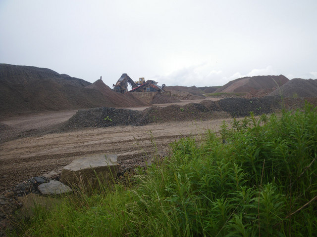
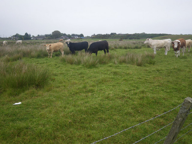
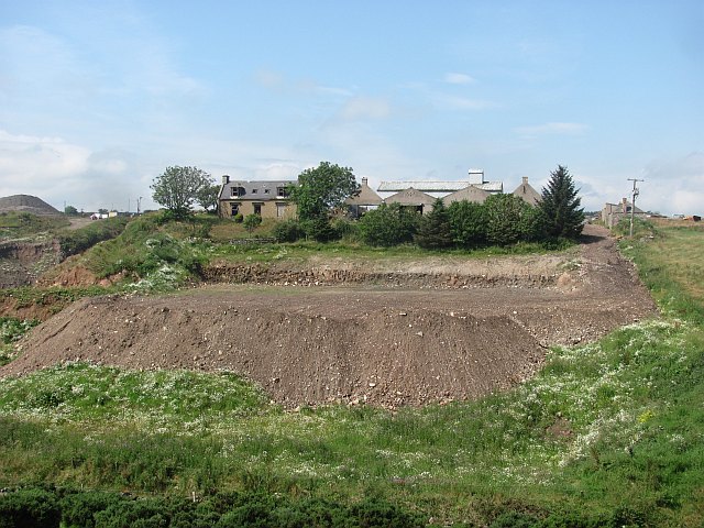
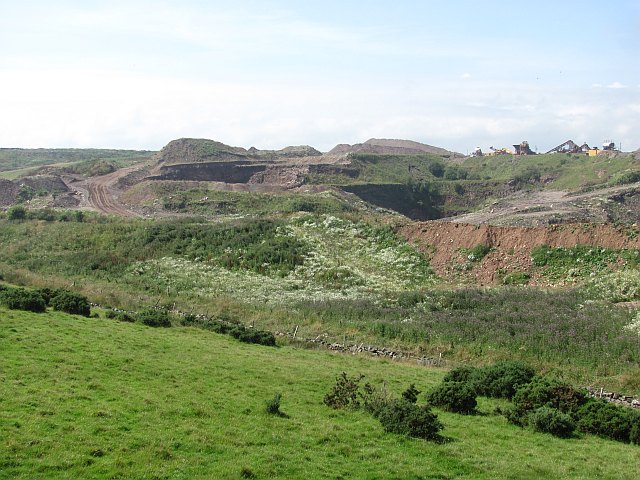
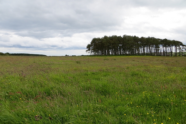
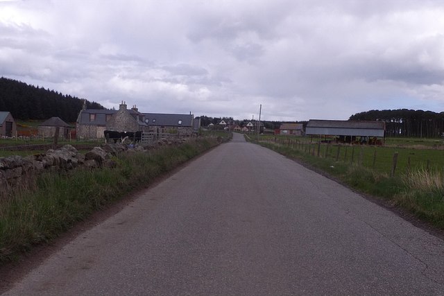
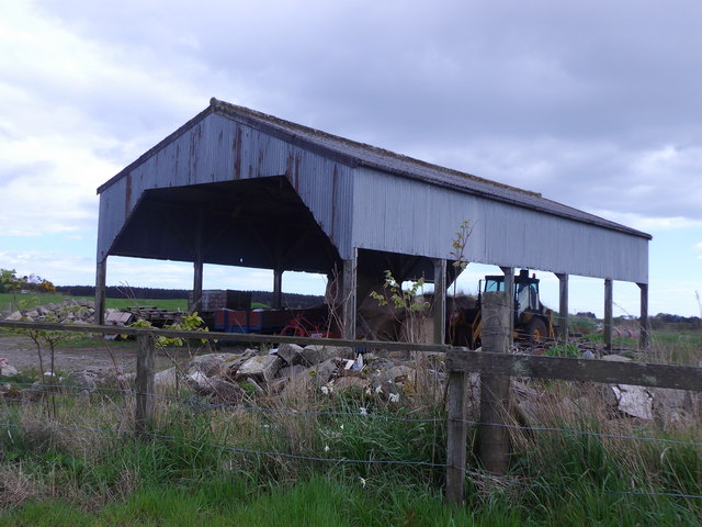
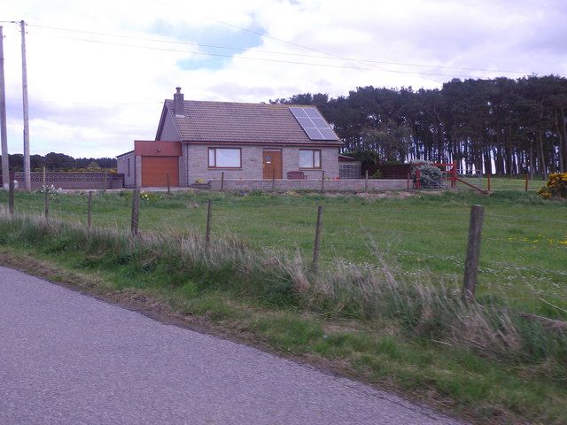
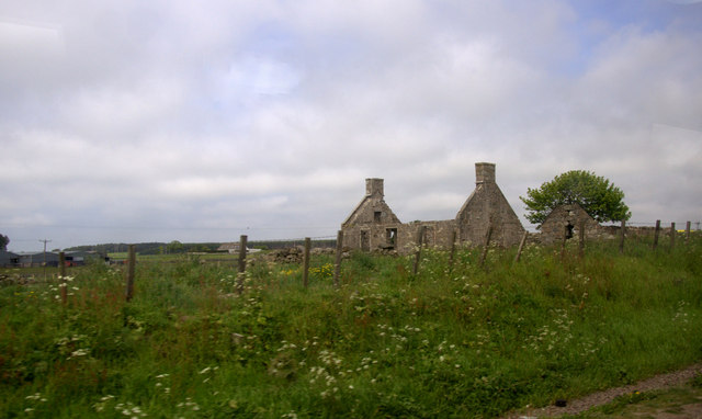
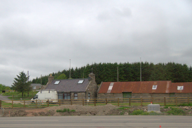
Blue Hill Images

Images are sourced within 2km of 57.094567/-2.1270877 or Grid Reference NJ9200. Thanks to Geograph Open Source API. All images are credited.

Fields east of Hare Moss Photographer is standing on the western side of the minor paved road. Hare Moss is the darker green wooded area toward image top.
Fields east of Hare Moss
Photographer is standing on the western side of the minor paved road. Hare Moss is the darker green wooded area toward image top.
Recently clearcut conifer forest Young saplings of new growth alien conifers have begun to emerge to cover the ground.
Recently clearcut conifer forest
Young saplings of new growth alien conifers have begun to emerge to cover the ground.
Strange coastal industrial land use Photographer is standing near a large scale industrial gravel staging area; moreover, this type of land use so near the beautiful rugged coastline is a very strange council decision.
Strange coastal industrial land use
Photographer is standing near a large scale industrial gravel staging area; moreover, this type of land use so near the beautiful rugged coastline is a very strange council decision.
Cows grazing not far from the coastline This pasture is very moist and exhibits a high occurrence of Juncus species.
Cows grazing not far from the coastline
This pasture is very moist and exhibits a high occurrence of Juncus species.
Mains of Cairnrobin Derelict farm with a nearby quarry.
Mains of Cairnrobin
Derelict farm with a nearby quarry.
Gravel pit, Finedon Extensive quarry workings beside the railway.
Gravel pit, Finedon
Extensive quarry workings beside the railway.
New junction at Findon, south of Aberdeen Part, I assume, of the controversial and long-planned Aberdeen bypass.
New junction at Findon, south of Aberdeen
Part, I assume, of the controversial and long-planned Aberdeen bypass.
Silage crop Just before cutting, this is mapped as rough grazing at 1:25,000.
Silage crop
Just before cutting, this is mapped as rough grazing at 1:25,000.
Approaching Jameston Farm On minor road from Scatterburn to Crossroads.
Approaching Jameston Farm
On minor road from Scatterburn to Crossroads.
Dutch Barn at Jameston On south side of minor road.
Dutch Barn at Jameston
On south side of minor road.
Tigh Shine, near Jameston Cottage With solar panels on the roof. By minor road into Crossroads.
Tigh Shine, near Jameston Cottage
With solar panels on the roof. By minor road into Crossroads.
Newpark, Marywell Ruin beside the A90.
Newpark, Marywell
Ruin beside the A90.
House beside the A90 near Marywell
Work on the Aberdeen Bypass near Marywell The road appears to be being widened here, approaching what will be a major interchange.
Work on the Aberdeen Bypass near Marywell
The road appears to be being widened here, approaching what will be a major interchange.
Damp Fields This part of the country would be unrecognisable to anyone who lived here even 50 years ago. Behind me are new roads and swathes of new housing on the edges of the rapidly expanding dormitory village of Portlethen. It will be interesting to see if the mania for expansion will ever extend to this flat, wet, low-lying ground.
Damp Fields
This part of the country would be unrecognisable to anyone who lived here even 50 years ago. Behind me are new roads and swathes of new housing on the edges of the rapidly expanding dormitory village of Portlethen. It will be interesting to see if the mania for expansion will ever extend to this flat, wet, low-lying ground.
Business Park These blocks are on the edge of a fairly small business park on the outskirts of Portlethen, west of the A90 dual carriageway. It was unusually quiet today, as most businesses were still on their New Year holiday.
Business Park
These blocks are on the edge of a fairly small business park on the outskirts of Portlethen, west of the A90 dual carriageway. It was unusually quiet today, as most businesses were still on their New Year holiday.
Overbridge at Haremoss This is one of the overbridges that carry minor roads over the AWPR, in this case over the spur linking the main north-south route eastwards to the harbour area.
Overbridge at Haremoss
This is one of the overbridges that carry minor roads over the AWPR, in this case over the spur linking the main north-south route eastwards to the harbour area.
Accommodation Ponds At various points alongside the new AWPR ponds have been dug to ensure that water can drain off the new road. These ones are near Haremoss, beside the harbour spur from the main route.
Accommodation Ponds
At various points alongside the new AWPR ponds have been dug to ensure that water can drain off the new road. These ones are near Haremoss, beside the harbour spur from the main route.
Show me another place!

Blue Hill is located at Grid Ref: NJ9200 (Lat: 57.094567, Lng: -2.1270877)

Unitary Authority: Aberdeenshire

Police Authority: North East

What 3 Words

///trip.that.scrap. Near Cove, Aberdeen

Nearby Locations

Sharps Brae Blue Hill

Related Wikis

Aberdeen South (UK Parliament constituency)

Aberdeen South is a burgh constituency of the House of Commons of the Parliament of the United Kingdom and it elects one Member of Parliament (MP) by the...

Hare Moss

Hare Moss is a bog in Aberdeenshire, Scotland, in the vicinity of Banchory-Devenick. Hare Moss is a significant wetland ecosystem. == History == Hare...
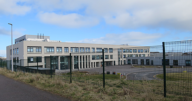
Lochside Academy

Lochside Academy is a co-educational secondary school in Altens, Aberdeen, run by Aberdeen City Council. Its feeder primary schools are Abbotswell School...

Cove Bay

Cove Bay, known locally as Cove, is a suburb on the south-east edge of Aberdeen, Scotland. Today Cove is home to around 8,000 people. It is a popular residential...

Nearby Amenities

Located within 500m of 57.094567,-2.1270877
Barrier: yes
Lat/Long: 57.0965066/-2.1339663
Blue Hill
Man Made: cairn
Lat/Long: 57.0945789/-2.1269728
Power: pole
Lat/Long: 57.0987291/-2.1251174
Power: pole
Lat/Long: 57.0981764/-2.1262057
Power: pole
Lat/Long: 57.0971367/-2.1282232
Power: pole
Lat/Long: 57.0978403/-2.1255669
Power: pole
Lat/Long: 57.0977182/-2.1246225
Power: pole
Lat/Long: 57.0975921/-2.1236454
Power: pole
Lat/Long: 57.0977292/-2.1226177
Power: pole
Lat/Long: 57.0974247/-2.1213678
Power: pole
Lat/Long: 57.0934716/-2.1201861
Power: pole
Lat/Long: 57.0929229/-2.1198099
Power: pole
Lat/Long: 57.096824/-2.1293998
Power: pole
Lat/Long: 57.0964797/-2.1307128
Power: pole
Lat/Long: 57.0961423/-2.1319879
Power: pole
Lat/Long: 57.0964234/-2.1306699
Power: pole
Lat/Long: 57.0958158/-2.1331746
Power: pole
Lat/Long: 57.0954468/-2.1345028
Power: pole
Lat/Long: 57.0940319/-2.1208679
Power: pole
Lat/Long: 57.0945861/-2.1215446
Power: pole
Lat/Long: 57.0949976/-2.1219814
Power: pole
Lat/Long: 57.0953378/-2.1223399
Power: pole
Lat/Long: 57.0952294/-2.1231606
Power: pole
Lat/Long: 57.0951403/-2.1240494
Power: pole
Lat/Long: 57.0946794/-2.1249483
Power: pole
Lat/Long: 57.0942157/-2.1258749
Power: pole
Lat/Long: 57.0938412/-2.1263042
The data included in this document is from www.openstreetmap.org. The data is made available under ODbL.

Have you been to Blue Hill?

Leave your review of Blue Hill below (or comments, questions and feedback).