Sunset Hill

Hill, Mountain in Wiltshire

England

Sunset Hill

Field off the Fosse Way opposite Fosse Tilery Farm
Field off the Fosse Way opposite Fosse Tilery Farm Credit: Vieve Forward

Sunset Hill is a prominent natural landmark located in the county of Wiltshire, England. It is a gently sloping hill that rises to an elevation of approximately 300 meters above sea level. Situated in the southern part of the county, Sunset Hill offers stunning panoramic views of the surrounding countryside.

Covered in lush green vegetation, the hill is a popular destination for outdoor enthusiasts and nature lovers. It features several walking trails that wind their way through the picturesque landscape, allowing visitors to explore its beauty at their own pace. The hill is also home to a diverse range of flora and fauna, including wildflowers, birds, and small mammals.

The name "Sunset Hill" is derived from the breathtaking sunsets that can be observed from its summit. As the sun dips below the horizon, the hill provides an ideal vantage point to witness the vibrant colors that paint the sky. Many locals and tourists flock to Sunset Hill during the evening hours to capture the awe-inspiring beauty of the setting sun.

Due to its elevated position, Sunset Hill offers a sense of tranquility and serenity, making it an ideal spot for relaxation and contemplation. Visitors can often be found sitting on the hillside, enjoying a picnic or simply taking in the peaceful atmosphere.

Overall, Sunset Hill in Wiltshire is an enchanting natural landmark that showcases the beauty of the English countryside. Its stunning views, diverse wildlife, and serene ambiance make it a must-visit destination for anyone seeking a connection with nature.

If you have any feedback on the listing, please let us know in the comments section below.
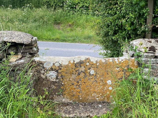
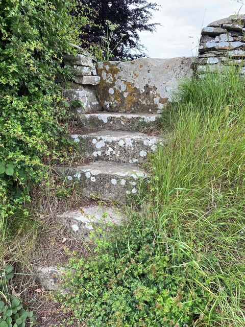
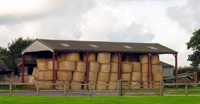
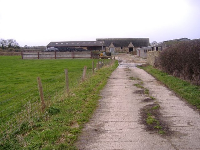
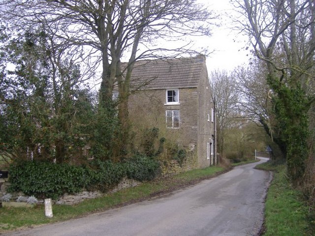
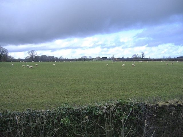
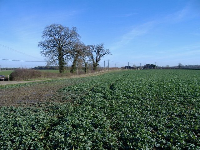
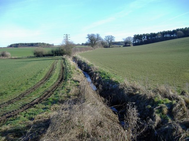
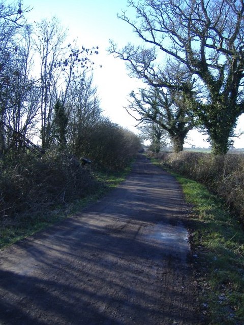
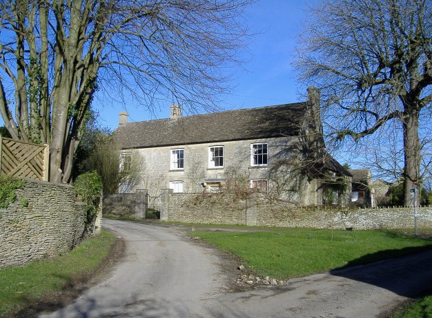
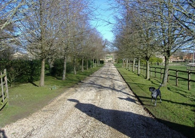
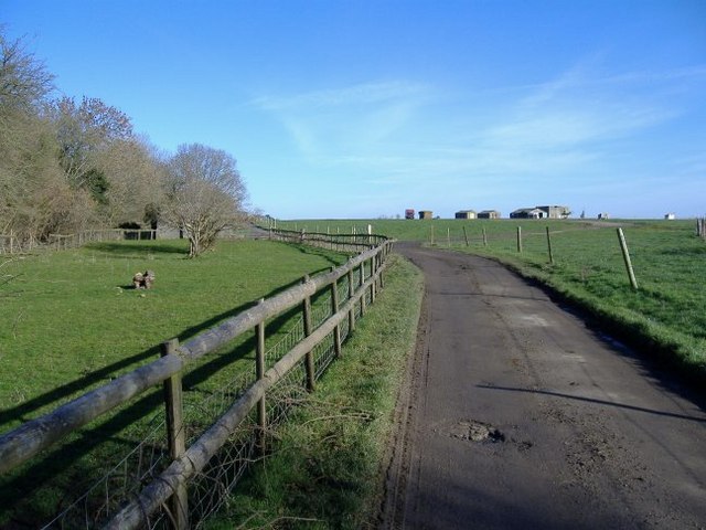
Sunset Hill Images

Images are sourced within 2km of 51.610493/-2.1166361 or Grid Reference ST9290. Thanks to Geograph Open Source API. All images are credited.

Field off the Fosse Way opposite Fosse Tilery Farm
Stone Stile, Long Newnton Looking SW to the B4014 on Gloucestershire footpath NLN9. The view from the road is <a href="https://www.geograph.org.uk/photo/7194255">ST9191 : Stone Stile, Long Newnton</a>.
Stone Stile, Long Newnton
Looking SW to the B4014 on Gloucestershire footpath NLN9. The view from the road is ST9191 : Stone Stile, Long Newnton.
Stone Stile, Long Newnton Looking NE off the B4014 on Gloucestershire footpath NLN9 leading due East towards Newnton Farm. The view looking towards the road is <a href="https://www.geograph.org.uk/photo/7194252">ST9191 : Stone Stile, Long Newnton</a>.
Stone Stile, Long Newnton
Looking NE off the B4014 on Gloucestershire footpath NLN9 leading due East towards Newnton Farm. The view looking towards the road is ST9191 : Stone Stile, Long Newnton.
Stone Stile, Shipton Moyne On Gloucestershire footpath NSM8 off Fosse Way looking NW. The view SE is <a href="https://www.geograph.org.uk/photo/7410048">ST9089 : Stone Stile, Shipton Moyne</a>.
Stone Stile, Shipton Moyne
On Gloucestershire footpath NSM8 off Fosse Way looking NW. The view SE is ST9089 : Stone Stile, Shipton Moyne.
Stone Stile, Shipton Moyne On Gloucestershire footpath NSM8 off Fosse Way looking SE. The view NW is <a href="https://www.geograph.org.uk/photo/7410047">ST9089 : Stone Stile, Shipton Moyne</a>.
Stone Stile, Shipton Moyne
On Gloucestershire footpath NSM8 off Fosse Way looking SE. The view NW is ST9089 : Stone Stile, Shipton Moyne.
Barn near Malmesbury This farm is on the outskirts of Malmesbury en route to Tetbury. The area is mostly farming.
Barn near Malmesbury
This farm is on the outskirts of Malmesbury en route to Tetbury. The area is mostly farming.
Farm near Brokenborough A concrete track leads to a miscellany of agricultural buildings, south of Brokenborough.
Farm near Brokenborough
A concrete track leads to a miscellany of agricultural buildings, south of Brokenborough.
Three-storey house near Back Bridge. The grounds of this house run down to the River Avon (Tetbury branch).
Three-storey house near Back Bridge.
The grounds of this house run down to the River Avon (Tetbury branch).
Rose and Crown, Brokenbororough This village pub has a large restaurant.
Rose and Crown, Brokenbororough
This village pub has a large restaurant.
St John the Baptist, Brokenborough. With an unusually modest wooden belltower.
St John the Baptist, Brokenborough.
With an unusually modest wooden belltower.
Griffiths Barn farm Sheep graze under rain-laden skies, near the A429, north of Malmesbury.
Griffiths Barn farm
Sheep graze under rain-laden skies, near the A429, north of Malmesbury.
Quobwell farm The farm track runs beside a field of spring turnips.
Quobwell farm
The farm track runs beside a field of spring turnips.
Sunset Hill cottages Standing next to a fast section of the B4014 from Malmesbury to Tetbury.
Sunset Hill cottages
Standing next to a fast section of the B4014 from Malmesbury to Tetbury.
Gilboa farm A brook, feeding the River Avon, cuts through the middle of the farm.
Gilboa farm
A brook, feeding the River Avon, cuts through the middle of the farm.
The Fosse Way The old Roman road intersects the B4014, just north of this point.
The Fosse Way
The old Roman road intersects the B4014, just north of this point.
Newnton One of several substantial stone houses, grouped around this fork in the road.
Newnton
One of several substantial stone houses, grouped around this fork in the road.
Newnton House driveway A barking, but friendly, dog greets visitors to the house.
Newnton House driveway
A barking, but friendly, dog greets visitors to the house.
Racing stables A group of ex-WW2 buildings are utilised for equine purposes, near Marsh Farm.
Racing stables
A group of ex-WW2 buildings are utilised for equine purposes, near Marsh Farm.
Show me another place!

Sunset Hill is located at Grid Ref: ST9290 (Lat: 51.610493, Lng: -2.1166361)

Unitary Authority: Wiltshire

Police Authority: Wiltshire

What 3 Words

///watch.nicely.evolves. Near Malmesbury, Wiltshire

Related Wikis

Brokenborough

Brokenborough is a village and civil parish about 1+1⁄2 miles (2.4 km) northwest of Malmesbury, Wiltshire in England. The course of the Fosse Way Roman...

Dyson Institute Village

Dyson Institute Village was built in 2019 on the outskirts of Malmesbury, Wiltshire, England, to provide on-campus student housing for the Dyson Institute...

Dyson Institute of Engineering and Technology

The Dyson Institute of Engineering and Technology is a private institution of higher education in England, founded in 2017 by James Dyson and based at...

RAF Long Newnton

Royal Air Force Long Newnton or more simply RAF Long Newnton is a former Royal Air Force satellite airfield in north Wiltshire, England, close to the Gloucestershire...

Nearby Amenities

Located within 500m of 51.610493,-2.1166361
Historic: milestone
Wikidata: Q26678827
Lat/Long: 51.6087252/-2.1149869
Power: pole
Lat/Long: 51.6071636/-2.1147475
Power: pole
Lat/Long: 51.6082297/-2.1147555
Power: pole
Lat/Long: 51.6087827/-2.1147662
Power: pole
Lat/Long: 51.6096872/-2.1147904
Power: pole
Lat/Long: 51.6108998/-2.1151605
Power: pole
Lat/Long: 51.6117676/-2.1154556
Power: pole
Lat/Long: 51.6127236/-2.1157426
Power: pole
Lat/Long: 51.6138079/-2.1160966
Power: pole
Lat/Long: 51.6149305/-2.1164694
Power: pole
Lat/Long: 51.6120361/-2.1192799
Power: pole
Lat/Long: 51.6123276/-2.1197725
Power: pole
Lat/Long: 51.6126161/-2.1202512
Power: pole
Lat/Long: 51.6130685/-2.1170523
Power: pole
Lat/Long: 51.6128249/-2.1179793
Power: pole
Lat/Long: 51.61259/-2.1188549
Power: pole
Lat/Long: 51.6133165/-2.1160786
Power: pole
Lat/Long: 51.6138662/-2.1153336
Power: pole
Lat/Long: 51.6144165/-2.1145896
The data included in this document is from www.openstreetmap.org. The data is made available under ODbL.

Have you been to Sunset Hill?

Leave your review of Sunset Hill below (or comments, questions and feedback).