Quobwell Plantations

Wood, Forest in Wiltshire

England

Quobwell Plantations

Stone Stile, Shipton Moyne On Gloucestershire footpath NSM8 off Fosse Way looking NW. The view SE is <a href="https://www.geograph.org.uk/photo/7410048">ST9089 : Stone Stile, Shipton Moyne</a>.
Stone Stile, Shipton Moyne Credit: Mr Red

Quobwell Plantations, located in Wiltshire, is a sprawling woodland area renowned for its natural beauty and vast variety of trees. Stretching over several square miles, this plantation is a popular destination for nature enthusiasts and outdoor adventurers.

The plantation is predominantly made up of a mixture of deciduous and coniferous trees, creating a diverse and picturesque landscape. The towering oak, beech, and birch trees provide a lush canopy, while the fir and pine trees add a touch of green throughout the year. This combination of tree species also attracts a wide array of wildlife, including numerous bird species and small mammals.

Quobwell Plantations is not only valued for its aesthetic appeal but also for its ecological significance. The woodland acts as a natural carbon sink, absorbing large amounts of carbon dioxide and contributing to the overall reduction of greenhouse gases. Additionally, the plantation serves as a habitat for various endangered and protected species, making it an important conservation site.

Visitors to Quobwell Plantations can explore the numerous walking trails that wind through the woodland, offering breathtaking views and opportunities for birdwatching. The plantation also offers educational programs and guided tours, allowing visitors to learn about the importance of sustainable forestry and the conservation efforts being carried out in the area.

Overall, Quobwell Plantations is a haven of natural beauty and biodiversity, attracting nature lovers, hikers, and those seeking a tranquil escape into the heart of Wiltshire's woodlands.

If you have any feedback on the listing, please let us know in the comments section below.

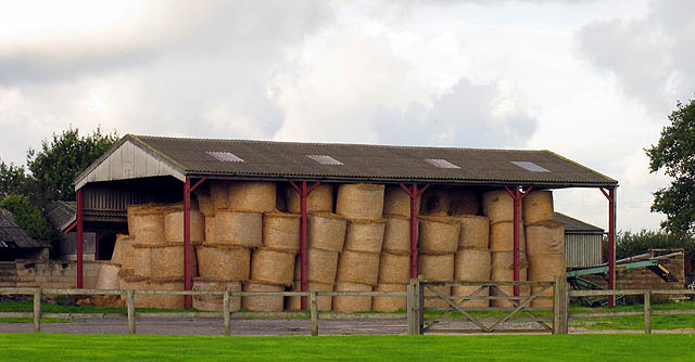
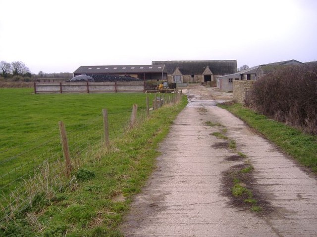
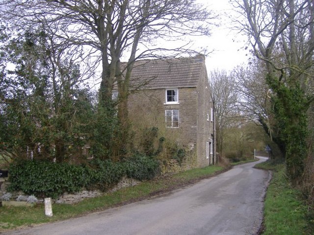
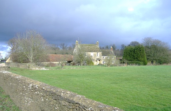
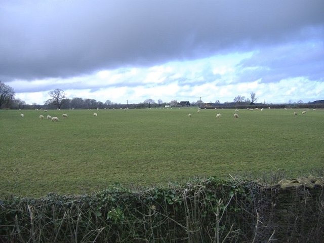
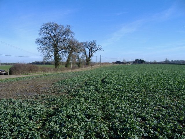
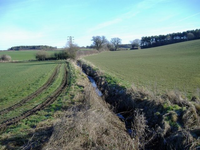
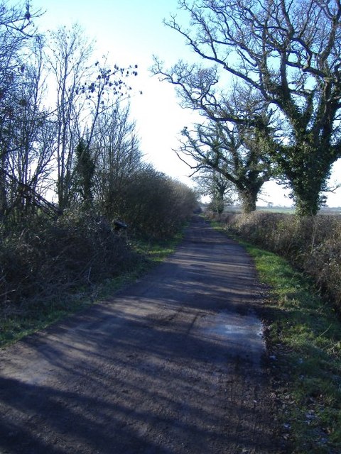
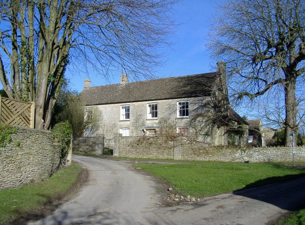
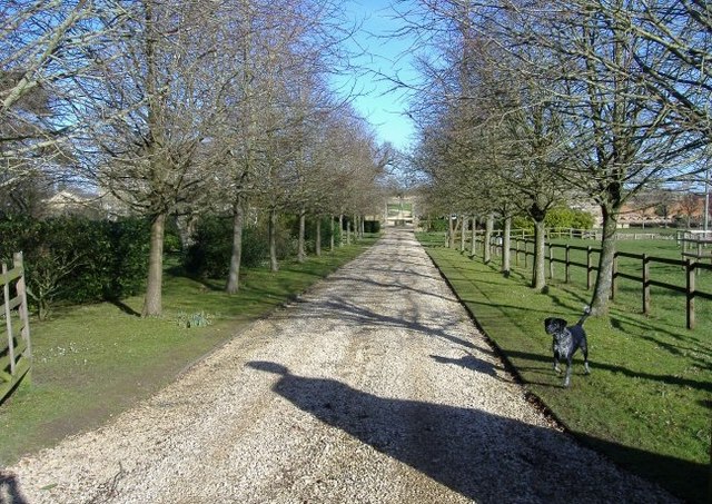
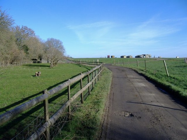
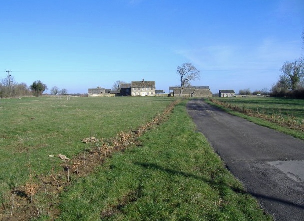
Quobwell Plantations Images

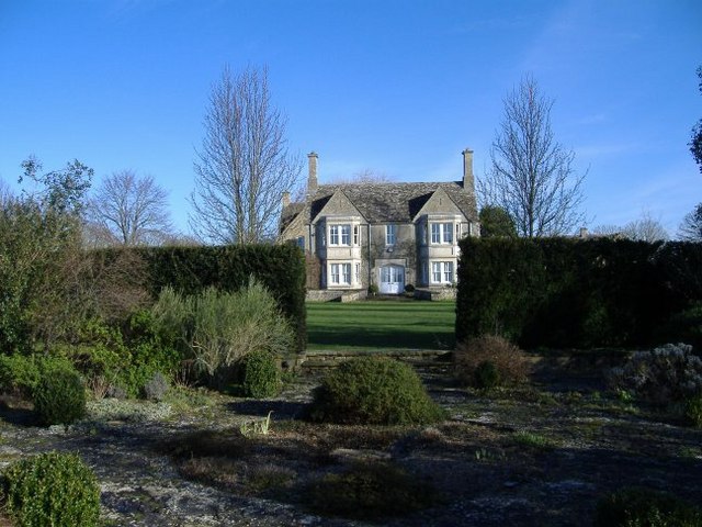
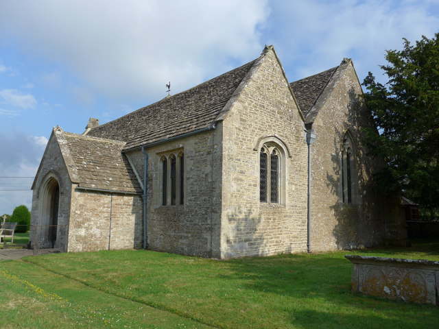
Images are sourced within 2km of 51.609985/-2.1115949 or Grid Reference ST9290. Thanks to Geograph Open Source API. All images are credited.

Stone Stile, Shipton Moyne On Gloucestershire footpath NSM8 off Fosse Way looking NW. The view SE is <a href="https://www.geograph.org.uk/photo/7410048">ST9089 : Stone Stile, Shipton Moyne</a>.
Stone Stile, Shipton Moyne
On Gloucestershire footpath NSM8 off Fosse Way looking NW. The view SE is ST9089 : Stone Stile, Shipton Moyne.
Stone Stile, Shipton Moyne On Gloucestershire footpath NSM8 off Fosse Way looking SE. The view NW is <a href="https://www.geograph.org.uk/photo/7410047">ST9089 : Stone Stile, Shipton Moyne</a>.
Stone Stile, Shipton Moyne
On Gloucestershire footpath NSM8 off Fosse Way looking SE. The view NW is ST9089 : Stone Stile, Shipton Moyne.
Barn near Malmesbury This farm is on the outskirts of Malmesbury en route to Tetbury. The area is mostly farming.
Barn near Malmesbury
This farm is on the outskirts of Malmesbury en route to Tetbury. The area is mostly farming.
Farm near Brokenborough A concrete track leads to a miscellany of agricultural buildings, south of Brokenborough.
Farm near Brokenborough
A concrete track leads to a miscellany of agricultural buildings, south of Brokenborough.
Three-storey house near Back Bridge. The grounds of this house run down to the River Avon (Tetbury branch).
Three-storey house near Back Bridge.
The grounds of this house run down to the River Avon (Tetbury branch).
Rose and Crown, Brokenbororough This village pub has a large restaurant.
Rose and Crown, Brokenbororough
This village pub has a large restaurant.
St John the Baptist, Brokenborough. With an unusually modest wooden belltower.
St John the Baptist, Brokenborough.
With an unusually modest wooden belltower.
Home farm, Charlton Park Part of an extensive former estate, situated next to the A429.
Home farm, Charlton Park
Part of an extensive former estate, situated next to the A429.
Griffiths Barn farm Sheep graze under rain-laden skies, near the A429, north of Malmesbury.
Griffiths Barn farm
Sheep graze under rain-laden skies, near the A429, north of Malmesbury.
Quobwell farm The farm track runs beside a field of spring turnips.
Quobwell farm
The farm track runs beside a field of spring turnips.
Sunset Hill cottages Standing next to a fast section of the B4014 from Malmesbury to Tetbury.
Sunset Hill cottages
Standing next to a fast section of the B4014 from Malmesbury to Tetbury.
Gilboa farm A brook, feeding the River Avon, cuts through the middle of the farm.
Gilboa farm
A brook, feeding the River Avon, cuts through the middle of the farm.
The Fosse Way The old Roman road intersects the B4014, just north of this point.
The Fosse Way
The old Roman road intersects the B4014, just north of this point.
Newnton One of several substantial stone houses, grouped around this fork in the road.
Newnton
One of several substantial stone houses, grouped around this fork in the road.
Newnton House driveway A barking, but friendly, dog greets visitors to the house.
Newnton House driveway
A barking, but friendly, dog greets visitors to the house.
Racing stables A group of ex-WW2 buildings are utilised for equine purposes, near Marsh Farm.
Racing stables
A group of ex-WW2 buildings are utilised for equine purposes, near Marsh Farm.
Bishoper farm Newly planted hedges of beech, line the farm driveway.
Bishoper farm
Newly planted hedges of beech, line the farm driveway.
Ashlands Court Well screened from the road, except for this gap in the hedge.
Ashlands Court
Well screened from the road, except for this gap in the hedge.
Show me another place!

Quobwell Plantations is located at Grid Ref: ST9290 (Lat: 51.609985, Lng: -2.1115949)

Unitary Authority: Wiltshire

Police Authority: Wiltshire

What 3 Words

///farmed.belly.retaliate. Near Malmesbury, Wiltshire

Related Wikis

Brokenborough

Brokenborough is a village and civil parish about 1+1⁄2 miles (2.4 km) northwest of Malmesbury, Wiltshire in England. The course of the Fosse Way Roman...

Dyson Institute Village

Dyson Institute Village was built in 2019 on the outskirts of Malmesbury, Wiltshire, England, to provide on-campus student housing for the Dyson Institute...

Dyson Institute of Engineering and Technology

The Dyson Institute of Engineering and Technology is a private institution of higher education in England, founded in 2017 by James Dyson and based at...

RAF Long Newnton

Royal Air Force Long Newnton or more simply RAF Long Newnton is a former Royal Air Force satellite airfield in north Wiltshire, England, close to the Gloucestershire...

Nearby Amenities

Located within 500m of 51.609985,-2.1115949
Historic: milestone
Wikidata: Q26678827
Lat/Long: 51.6087252/-2.1149869
Power: pole
Lat/Long: 51.6071636/-2.1147475
Power: pole
Lat/Long: 51.6082297/-2.1147555
Power: pole
Lat/Long: 51.6087827/-2.1147662
Power: pole
Lat/Long: 51.6096872/-2.1147904
Power: pole
Lat/Long: 51.6108998/-2.1151605
Power: pole
Lat/Long: 51.6117676/-2.1154556
Power: pole
Lat/Long: 51.6127236/-2.1157426
Power: pole
Lat/Long: 51.6133165/-2.1160786
Power: pole
Lat/Long: 51.6080398/-2.1056411
Power: pole
Lat/Long: 51.6085662/-2.105979
Power: pole
Lat/Long: 51.6063135/-2.1085503
The data included in this document is from www.openstreetmap.org. The data is made available under ODbL.

Have you been to Quobwell Plantations?

Leave your review of Quobwell Plantations below (or comments, questions and feedback).