No Man's Wood
Wood, Forest in Lancashire
England
No Man's Wood

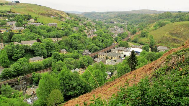
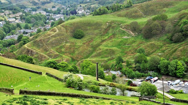
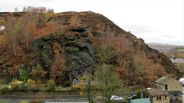
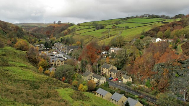
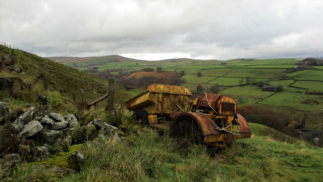
No Man's Wood is a picturesque forest located in the county of Lancashire, England. Covering an area of approximately 100 acres, this woodland is known for its natural beauty and tranquil ambiance. The forest is situated near the village of No Man's Heath, which is surrounded by rolling hills and open countryside.
No Man's Wood is predominantly composed of native broadleaf trees, such as oak, beech, and birch, creating a diverse and vibrant ecosystem. The forest floor is enriched with a variety of wildflowers, ferns, and mosses, adding to the enchanting atmosphere of the woodland.
The forest is home to a wide range of wildlife, including several bird species such as woodpeckers, thrushes, and owls. Mammals like foxes, badgers, and squirrels also thrive in the woodland, while the nearby streams attract small aquatic creatures.
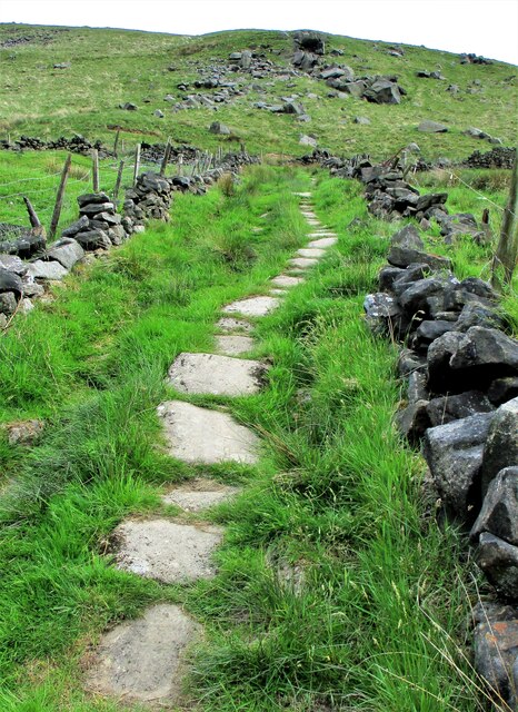
No Man's Wood is a popular destination for nature enthusiasts, hikers, and photographers due to its scenic trails and breathtaking views. The forest offers numerous walking paths that wind through the trees, allowing visitors to explore the area at their own pace. These trails are well-maintained and suitable for all levels of fitness.
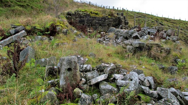
The woodland is also a designated Site of Special Scientific Interest (SSSI), recognized for its ecological importance and the presence of rare plant species. As a result, certain areas of No Man's Wood are protected, ensuring the preservation of its unique flora and fauna.
Overall, No Man's Wood in Lancashire is a captivating forest that offers a peaceful retreat and an opportunity to connect with nature's beauty.
If you have any feedback on the listing, please let us know in the comments section below.
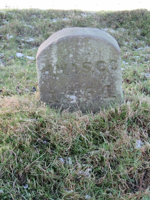
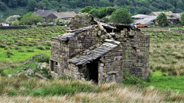
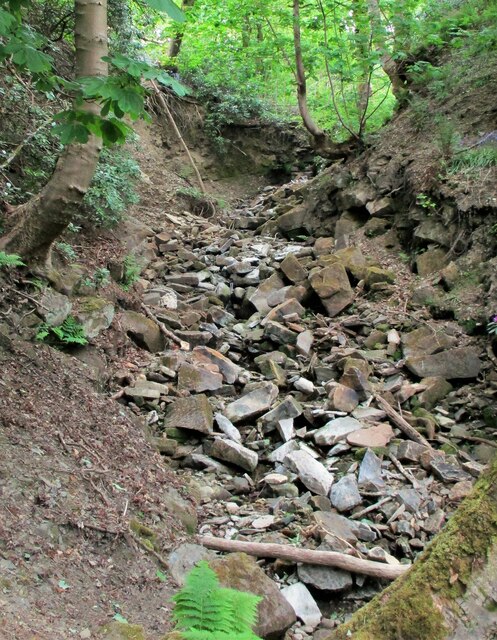
No Man's Wood Images
Images are sourced within 2km of 53.705271/-2.1170596 or Grid Reference SD9223. Thanks to Geograph Open Source API. All images are credited.


No Man's Wood is located at Grid Ref: SD9223 (Lat: 53.705271, Lng: -2.1170596)
Unitary Authority: Calderdale
Police Authority: West Yorkshire
What 3 Words
///flocking.secrets.face. Near Walsden, West Yorkshire
Nearby Locations
Related Wikis

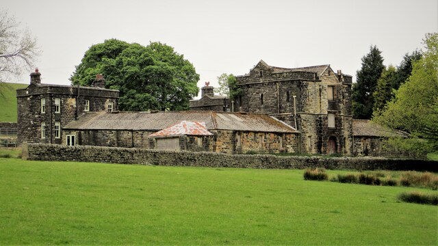
Dobroyd Castle
Dobroyd Castle is an important historic building above the town of Todmorden, West Yorkshire, England. It was built for John Fielden, local mill owner...

Walsden railway station
Walsden railway station (; WOLZ-dən) serves the village of Walsden, Todmorden in West Yorkshire, England, on the edge of the Pennines. It is served by...

Todmorden Unitarian Church
Todmorden Unitarian Church is a Unitarian church located in Honey Hole Road, Todmorden, West Yorkshire, England (grid reference SD935239). Built in honour...

Todmorden railway station
Todmorden railway station serves the town of Todmorden in West Yorkshire, England, originally on the Yorkshire and Lancashire border. It was built by the...

Todmorden War Memorial
Todmorden War Memorial is a war memorial located in Todmorden, West Yorkshire, England.The memorial is in the garden of remembrance in Centre Vale Park...

Walsden
Walsden (; WOLZ-dən) is a large village in the civil parish of Todmorden in the Metropolitan Borough of Calderdale, West Yorkshire, England. It was historically...

Todmorden Town Hall
Todmorden Town Hall is a municipal building in Halifax Road, Todmorden, West Yorkshire, England. The town hall, which is the meeting place of Todmorden...

Todmorden
Todmorden ( TOD-mər-dən; locally ) is a market town and civil parish in the Upper Calder Valley in Calderdale, West Yorkshire, England. It is 17 miles...
Nearby Amenities
Located within 500m of 53.705271,-2.1170596Have you been to No Man's Wood?
Leave your review of No Man's Wood below (or comments, questions and feedback).