Fairy Hillock

Hill, Mountain in Kincardineshire

Scotland

Fairy Hillock

Portlethen from the A90
Portlethen from the A90 Credit: Mike Pennington

Fairy Hillock, located in Kincardineshire, Scotland, is a small hill or mountain that holds great historical and mythical significance. Rising to an elevation of approximately 450 meters, it is nestled amidst the picturesque landscapes of the Scottish countryside.

The name "Fairy Hillock" is derived from the ancient folklore and tales associated with the area. According to local legends, the hill was believed to be a gathering place for fairies and other supernatural beings. It was said that during moonlit nights, these mystical creatures would come out to dance and celebrate, leaving behind an enchanting aura.

Aside from its mythical connotations, Fairy Hillock also boasts a rich historical background. The hill is known to have been a site of human activity since ancient times, with evidence of Neolithic and Bronze Age settlements in the vicinity. Archaeological discoveries, such as stone circles and burial mounds, suggest that Fairy Hillock was once an important ceremonial or religious site for the early inhabitants of the region.

Today, Fairy Hillock attracts visitors from far and wide who are drawn to its magical allure and historical significance. Hikers and nature enthusiasts frequent the area to enjoy the breathtaking views from the hilltop and explore the surrounding countryside. The hill offers a tranquil escape and a sense of connection to the mystical past, making it a popular destination for those seeking a touch of enchantment and beauty in the heart of Scotland.

If you have any feedback on the listing, please let us know in the comments section below.

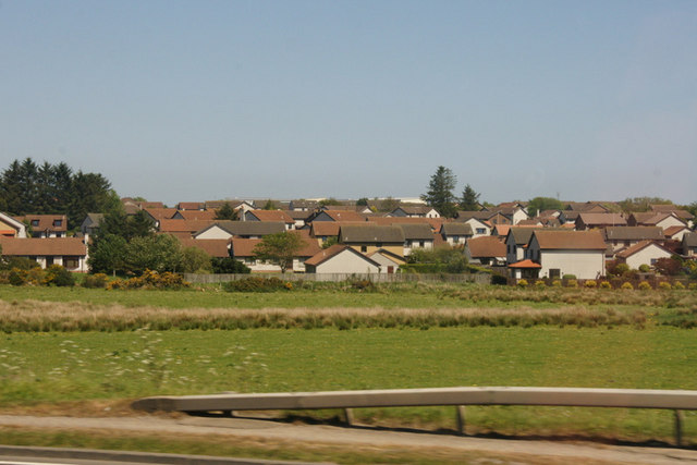
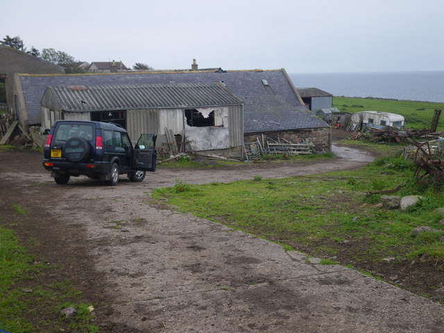
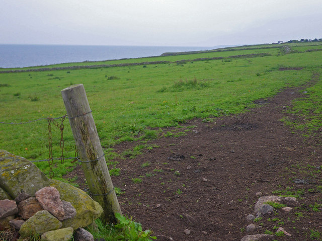
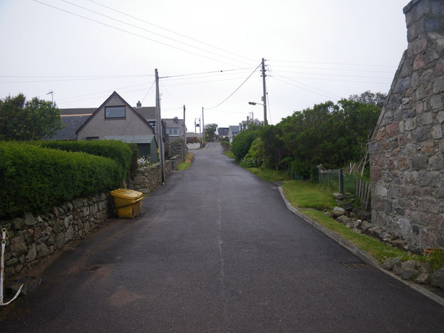
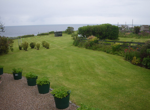
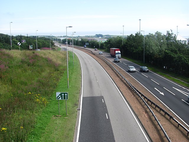
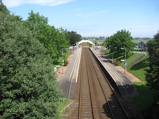
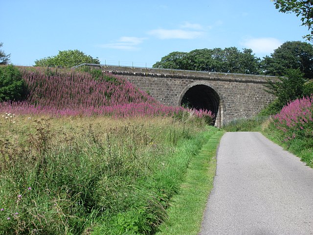
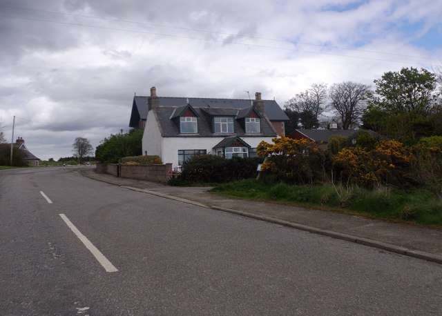
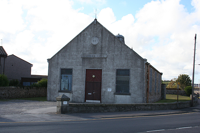
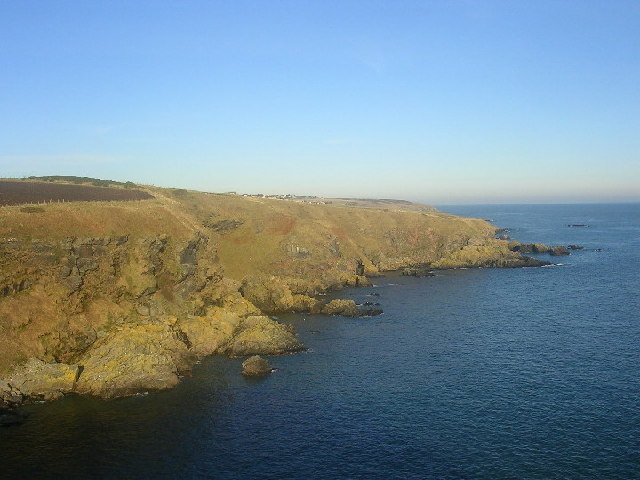
Fairy Hillock Images

Images are sourced within 2km of 57.051055/-2.133219 or Grid Reference NO9295. Thanks to Geograph Open Source API. All images are credited.

Portlethen from the A90
House and fields north of Newtonhill
Quiet, but wide residential street Photographer is standing near the street edge
Quiet, but wide residential street
Photographer is standing near the street edge
Looking towards Cammachmore Bay Photographer is standing at the verge of the minor paved road.
Looking towards Cammachmore Bay
Photographer is standing at the verge of the minor paved road.
Coastal scene at England farm A wisp of the North Sea is visible at image upper right. This locale is only accessible on an unpaved farm road; hence the 4x4 vehicle is desirable.
Coastal scene at England farm
A wisp of the North Sea is visible at image upper right. This locale is only accessible on an unpaved farm road; hence the 4x4 vehicle is desirable.
Coastal view towards Downies Access to this point only via unpaved farm track.
Coastal view towards Downies
Access to this point only via unpaved farm track.
Residential lane in Old Portlethen Photographer is standing at the edge of the paved lane.
Residential lane in Old Portlethen
Photographer is standing at the edge of the paved lane.
Coastal access limited by residential uses Since there is no parking and no signage present, the coastal visitor here in Old Portlethen is in a quandary as to how best to achieve access to the beautiful rugged coastline that lies beyond. Most significantly, the planning decisions that led up to the present land use configuration, are confusing to say the least, with a curtain wall of single family residences effectively occupying most of the potential coastal access from the village.
Coastal access limited by residential uses
Since there is no parking and no signage present, the coastal visitor here in Old Portlethen is in a quandary as to how best to achieve access to the beautiful rugged coastline that lies beyond. Most significantly, the planning decisions that led up to the present land use configuration, are confusing to say the least, with a curtain wall of single family residences effectively occupying most of the potential coastal access from the village.
A90, Portlethen The road linking Aberdeen with the South passes the new industrial community of Portlethen.
A90, Portlethen
The road linking Aberdeen with the South passes the new industrial community of Portlethen.
Portlethen Railway Station View from an overbridge, looking northwards.  This has been the site of a station for a long time, since well before the building of a small town at Portlethen and it used to serve Portlethen Village on the coast.
Portlethen Railway Station
View from an overbridge, looking northwards. This has been the site of a station for a long time, since well before the building of a small town at Portlethen and it used to serve Portlethen Village on the coast.
Railway bridge, Portlethen A massive bridge on a long embankment. The railway crosses Thistle Drive and route 1 of the National Cycle Network.
Railway bridge, Portlethen
A massive bridge on a long embankment. The railway crosses Thistle Drive and route 1 of the National Cycle Network.
Portlethen: postbox № AB12 13 A modern design of postbox, intended for locations such as this, just inside a large out-of-town ASDA supermarket. It is pictured at 7:30 on a Sunday morning, just as the store is opening, and is emptied finally at 6:30pm on weekdays and at 12:45pm on Saturdays.
Portlethen: postbox № AB12 13
A modern design of postbox, intended for locations such as this, just inside a large out-of-town ASDA supermarket. It is pictured at 7:30 on a Sunday morning, just as the store is opening, and is emptied finally at 6:30pm on weekdays and at 12:45pm on Saturdays.
Cairnwell Drive Like almost all of Portlethen, new.
Cairnwell Drive
Like almost all of Portlethen, new.
Railway, Portlethen Looking southwards on the railway serving Aberdeen.
Railway, Portlethen
Looking southwards on the railway serving Aberdeen.
Cammies Inn, Cammachmore Near Newtonhill, on the former main road from Stonehaven to Aberdeen (now bypassed by A90 dual carriageway).
Cammies Inn, Cammachmore
Near Newtonhill, on the former main road from Stonehaven to Aberdeen (now bypassed by A90 dual carriageway).
Bend in road, Cammachmore village
Access to Berryhill House A track off the public road.
Access to Berryhill House
A track off the public road.
Jubilee Hall The hall was originally a drill hall.
Jubilee Hall
The hall was originally a drill hall.
Show me another place!

Fairy Hillock is located at Grid Ref: NO9295 (Lat: 57.051055, Lng: -2.133219)

Unitary Authority: Aberdeenshire

Police Authority: North East

What 3 Words

///tonic.lingering.disbelief. Near Portlethen, Aberdeenshire

Related Wikis

Portlethen Academy

Portlethen Academy is a six-year comprehensive secondary school in Portlethen, Aberdeenshire, Scotland. == History == With the expansion of the communities...

Cammachmore Bay

Cammachmore Bay is an embayment of the North Sea between Stonehaven and Aberdeen in Aberdeenshire, Scotland. The fishing village of Downies is situated...

Portlethen Moss

The Portlethen Moss is an acidic bog nature reserve located to the west of the town of Portlethen, Aberdeenshire in Scotland. Like other mosses, this...

Portlethen

Portlethen (; Scottish Gaelic: Port Leathain) is a town located approximately 7 miles south of Aberdeen, Scotland along the A92. The population according...

Related Videos

Newtonhill Scotland Walking Tour 4K, April 2023.

Newtonhill Scotland Walking Tour 4K, April 2023. Newtonhill is a commuter town in Kincardineshire, Scotland. It is popular due to ...

A walk to Muchalls Beach for a spot of lunch (dehydrated meal from Expiration Food & Machair Water)

A walk to Muchalls Beach with the dogs for a spot of lunch. Trying out the Fish and Potato with Parsley Sauce dehydrated meal ...

Ian Poole's Transport Travel Vlogs #83 - Portlethen

vlog #blog #Portlethen So it is time to go home but before we go home, we are going to get another batch of buses done and ...

Nearby Amenities

Located within 500m of 57.051055,-2.133219
Bus Stop
Easter Drive
Bus: yes
Naptan AtcoCode: 630042481
Naptan Bearing: E
Naptan CommonName: Easter Drive
Naptan Indicator: at
Naptan Landmark: Easter Drive
Naptan NaptanCode: 23626458
Naptan Street: Berrymuir Road
Public Transport: platform
Ref: 23626458
Lat/Long: 57.0523095/-2.1397623
Bus Stop
Fishermoss Primary School
Bus: yes
Naptan AtcoCode: 630042591
Naptan Bearing: SE
Naptan CommonName: Fishermoss Primary School
Naptan Indicator: at
Naptan Landmark: Fishermoss Primary School
Naptan NaptanCode: 23626469
Naptan Street: Berrymuir Road
Public Transport: platform
Ref: 23626469
Lat/Long: 57.0546681/-2.1372138
Addr Postcode: AB12 4XQ
Lat/Long: 57.0527039/-2.140301
Generator Method: photovoltaic
Generator Output Electricity: yes
Generator Source: solar
Generator Type: solar_photovoltaic_panel
Location: roof
Power: generator
Lat/Long: 57.0537833/-2.1348372
Generator Method: photovoltaic
Generator Output Electricity: yes
Generator Source: solar
Generator Type: solar_photovoltaic_panel
Location: roof
Power: generator
Lat/Long: 57.0516871/-2.1374336
Generator Method: photovoltaic
Generator Output Electricity: yes
Generator Source: solar
Generator Type: solar_photovoltaic_panel
Location: roof
Power: generator
Lat/Long: 57.0545648/-2.1378352
Generator Method: photovoltaic
Generator Output Electricity: yes
Generator Source: solar
Generator Type: solar_photovoltaic_panel
Location: roof
Power: generator
Lat/Long: 57.0519081/-2.1364868
Power: pole
Lat/Long: 57.0489345/-2.126327
Power: pole
Lat/Long: 57.0497789/-2.126134
Power: pole
Lat/Long: 57.050508/-2.1256355
Power: pole
Lat/Long: 57.051274/-2.1251074
Power: pole
Lat/Long: 57.049141/-2.1273662
Power: pole
Lat/Long: 57.0494559/-2.1283249
Power: pole
Lat/Long: 57.0497812/-2.1293175
Power: pole
Lat/Long: 57.0501077/-2.1303674
Power: pole
Lat/Long: 57.0504226/-2.1313431
Bus Stop
Easter Drive
Bus: yes
Naptan AtcoCode: 630042602
Naptan Bearing: SW
Naptan CommonName: Easter Drive
Naptan Indicator: opp
Naptan Landmark: Easter Drive
Naptan NaptanCode: 23626464
Naptan Street: Berrymuir Road
Public Transport: platform
Ref: 23626464
Lat/Long: 57.0523912/-2.138794
Bus Stop
Easter Place
Bus: yes
Naptan AtcoCode: 630042601
Naptan Bearing: NE
Naptan CommonName: Easter Place
Naptan Indicator: opp
Naptan Landmark: Easter Place
Naptan NaptanCode: 23626468
Naptan Street: Berrymuir Road
Public Transport: platform
Ref: 23626468
Lat/Long: 57.0530278/-2.1371407
The data included in this document is from www.openstreetmap.org. The data is made available under ODbL.

Have you been to Fairy Hillock?

Leave your review of Fairy Hillock below (or comments, questions and feedback).